Shobdon Hill - G/WB-017 SOTA (2020)

Summits on the Air Activation Report
Activation Date: Sunday 5th July, 2020.
Activator(s): Richard M1HAX.
Summit: Shobdon Hill, Welsh Borders, England.
Summit ID: SOTA reference G/WB-017 (1 point).
Summit Height: 326m elevation, 172m prominence.
Summit Location: Lat./Long. 52.27141, -2.90721. Maidenhead Grid IO82ng.
Distance: 3.6km travelled with 127m of ascent.
Difficulty: SAC Grade T1.(?)
Elapsed Time: 1hr 5m (including operating).
Weather: Feels like 17.8°C, 31 kph W wind, 54% humidity.
Radio Equipment: Yaesu FTM100D, MFJ-1714, Zippy 4200mAh 4S LiFePo4.
Callsign Used: M1HAX/P.
Contacts: 4 (2m FM).
Trip Notes
Shobdon Hill is an easy one-point SOTA summit sitting just north of the village of Shobdon in Herefordshire.
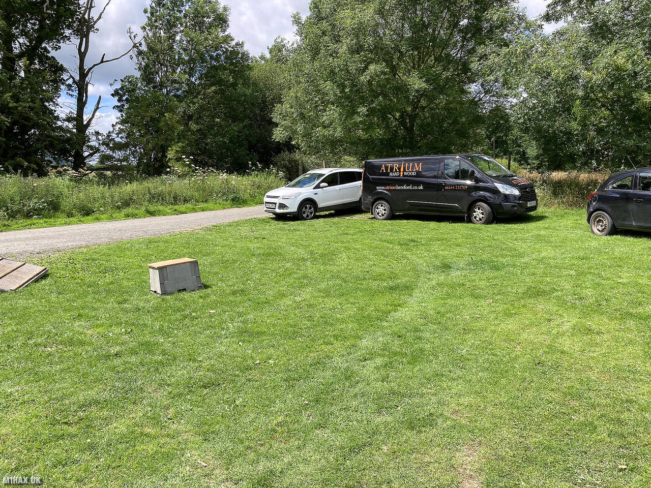
I parked on a grass area at the end of the lane leading towards the hill from Uphampton. The parking area seemed to be well used by locals.
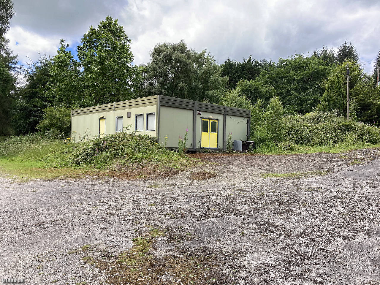
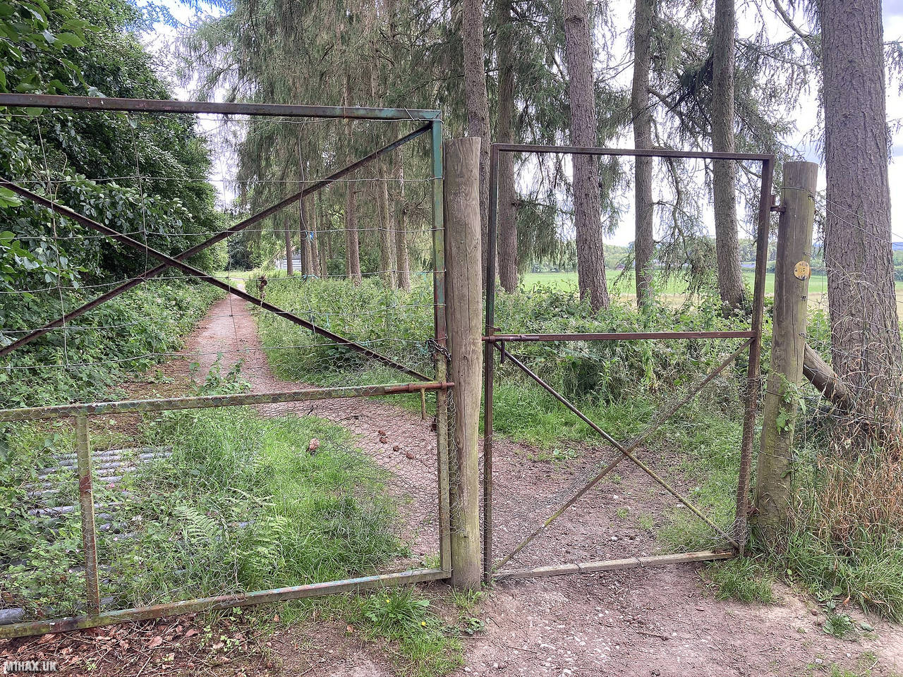
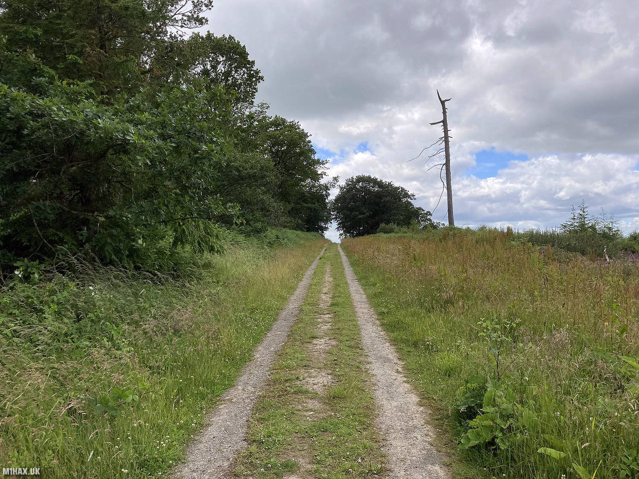
To gain the ridge of the hill I followed the path west then north. There is a seemingly disused building in the woods, behind an unlocked gate along the route.
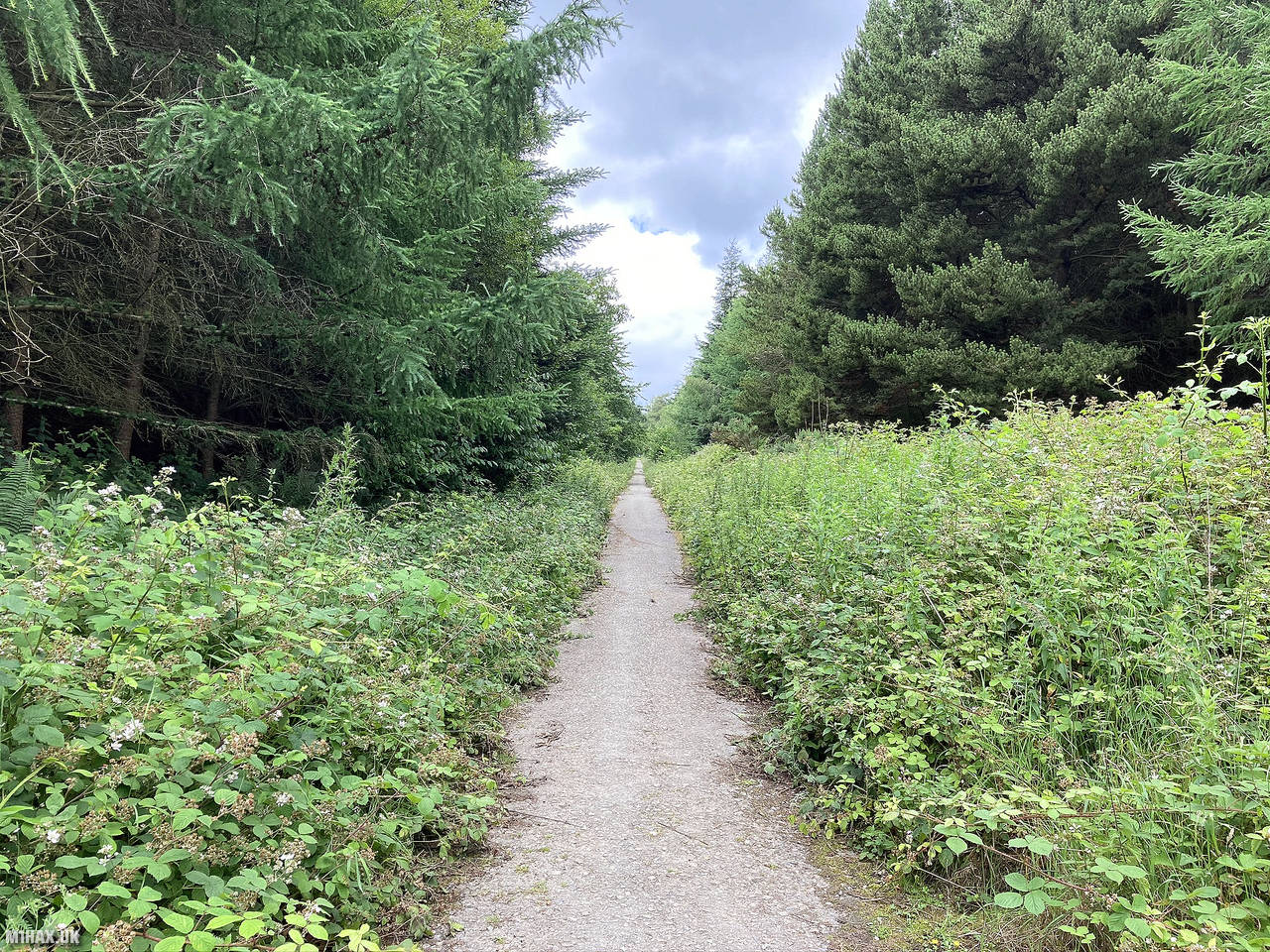
This hill has a very large activation zone running across much of the ridge of the hill. I headed towards the highest point on the western edge of the hill.
Setting up on the track, I easily made my four required radio contacts and then retraced my steps back to the car.
This was an easy hill to activate but not a very exciting one, and I doubt I will return in the future now that it has been ticked off.
Photos
Below are some photographs taken during my activation of Shobdon Hill on Sunday 5th July, 2020.


Walking Route for Shobdon Hill
The interactive map below shows my GPS track taken to the SOTA activation zone for Shobdon Hill. The G/WB-017 summit area is marked on the map with a blue pin icon.
You can download the route shown above as a GPX file suitable for use with most GPS devices. This file is provided for information only, to support your own walk planning and research (it may contain navigation errors, detours and/or safety hazards). The route downloads provided here are governed by the Creative Commons BY-NC-SA 4.0 licence.
Station Log
I logged the following 4 amateur radio contacts operating as M1HAX/P from G/WB-017 Shobdon Hill on Sunday 5th July, 2020 (all times shown are UTC):
| Time | Callsign | Band | Mode | Notes |
|---|---|---|---|---|
| 13:02 | G0LGS | 2m | FM | Stewart, 5/7 |
| 13:03 | 2E0MDJ | 2m | FM | Matt, 5/9 |
| 13:03 | G1DRW | 2m | FM | Dave, 5/9 |
| 13:05 | M7TPE | 2m | FM | Chris, 5/3 |
In the notes field I will usually log the other operator’s name and the signal report they provided. In accordance with the Summits on the Air rules, I do not make a log entry where a complete exchange of callsigns and signal reports was unsuccessful.
Additional Information
The following resources may be helpful to walkers, mountaineers and SOTA activators interested in Shobdon Hill:
- Sotl.as Summit Page for G/WB-017 Shobdon Hill.
- Hill Bagging UK Summit Page for Shobdon Hill.
- Google Maps Page for Shobdon Hill.
- Wikipedia entry for Shobdon Hill.
If you found this content valuable, why not Buy Me a Coffee?