Wapley Hill - G/WB-016 SOTA (2020)

Summits on the Air Activation Report
Activation Date: Sunday 5th July, 2020.
Activator(s): Richard M1HAX.
Summit: Wapley Hill, Welsh Borders, England.
Summit ID: SOTA reference G/WB-016 (1 point).
Summit Height: 329m elevation, 157m prominence.
Summit Location: Lat./Long. 52.25640, -2.95729. Maidenhead Grid IO82mg.
Distance: 2.6km travelled with 104m of ascent.
Difficulty: SAC Grade T1.(?)
Elapsed Time: 1hr 0m (including operating).
Weather: Feels like 16.1°C, 24 kph W wind, 55% humidity.
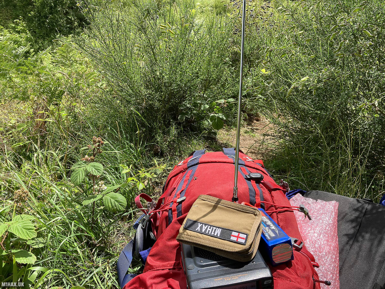
Radio Equipment: Yaesu FTM100D, MFJ-1714, Zippy 4200mAh 4S LiFePo4.
Callsign Used: M1HAX/P.
Contacts: 5 (2m FM).
Trip Notes
Nestled near the village of Stansbatch, Wapley Hill wood is a historic beech woodland dating back to the Iron Age. A ‘ritual shaft’ dating from the late Bronze Age is sunk to a depth of 33 metres.
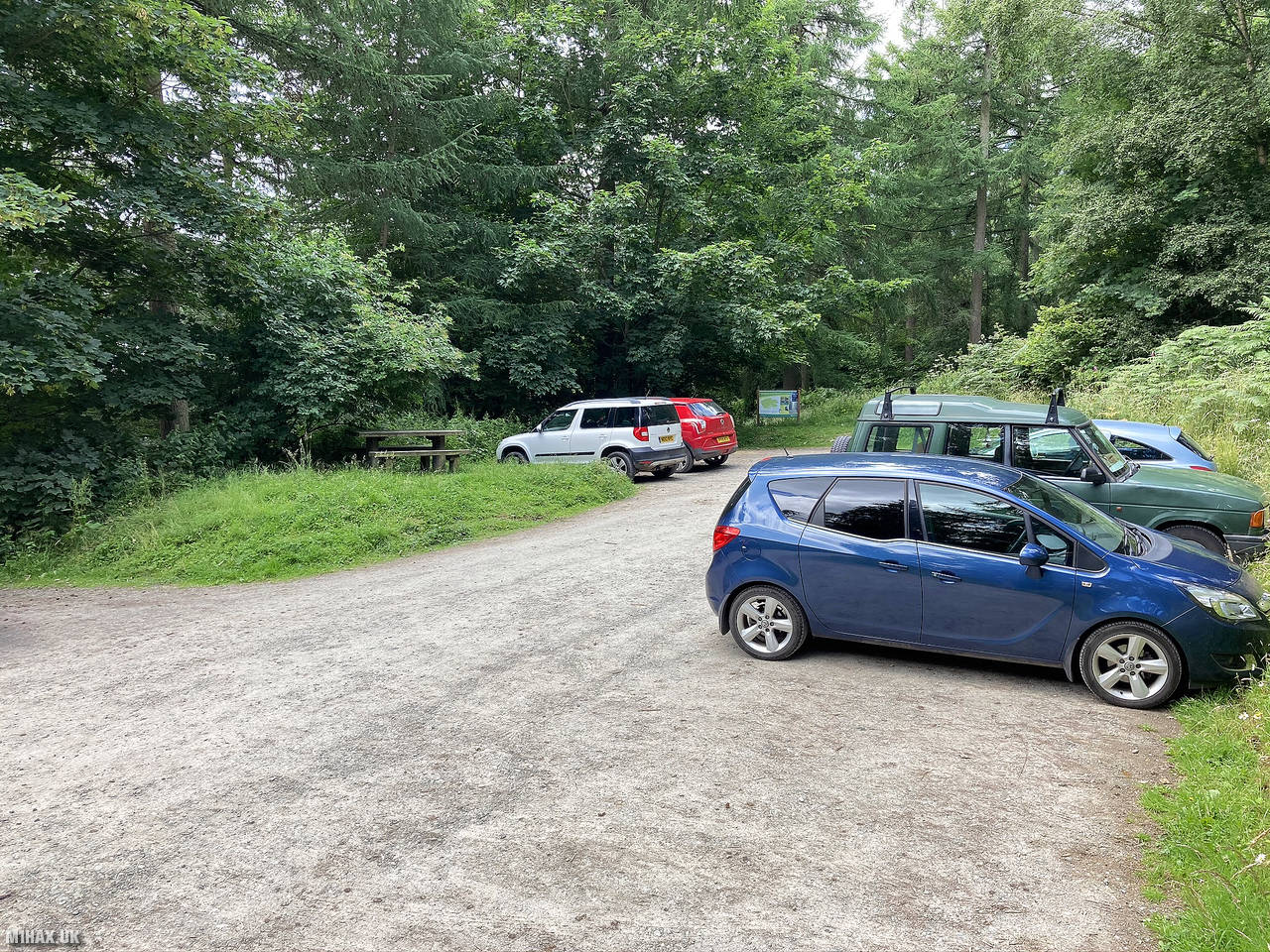
This one-point summit is similar to High Vinnalls in the sense that it is an easily accessible woodland hill area with a good car park.
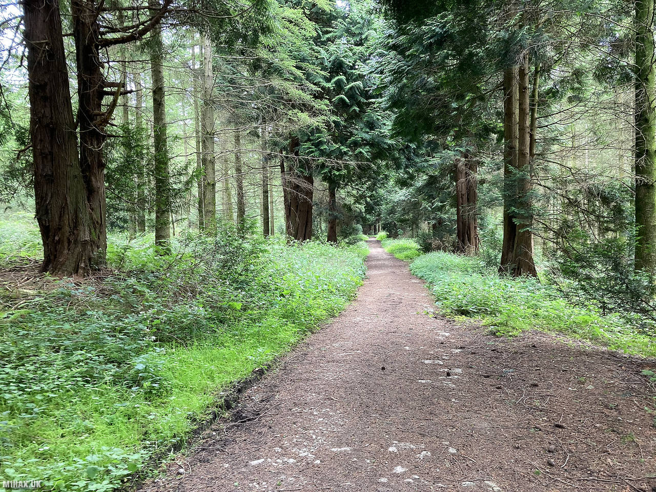
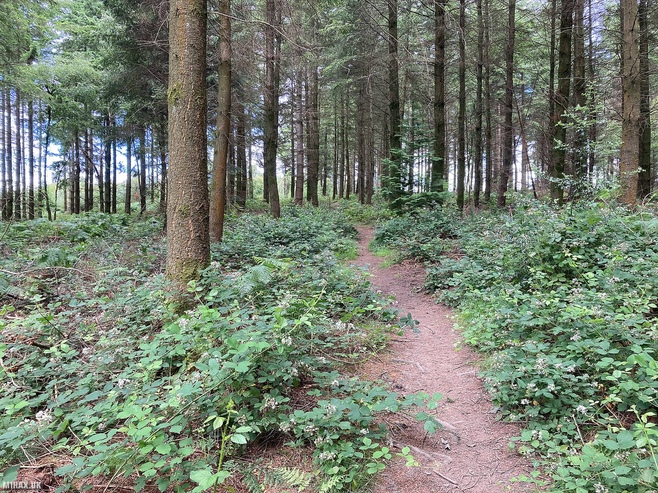
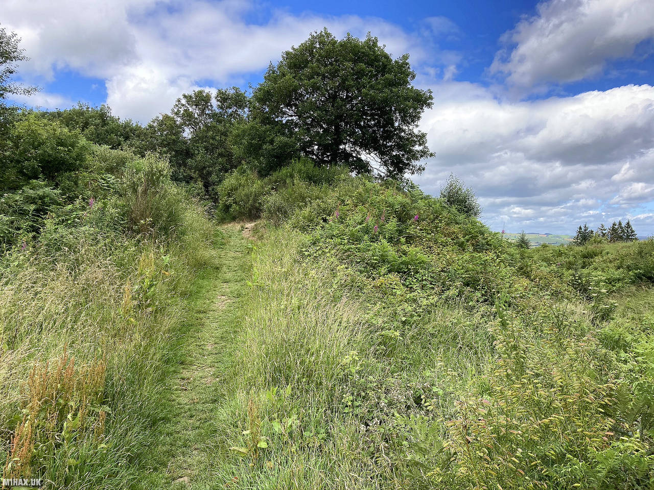
Clear footpaths and forestry tracks connect the parking area to the summit. The highest point was quite overgrown with no convenient spot to sit and activate from.
After ten minutes on the radio I had only managed to collect 5 VHF contacts and decided to retrace my steps back to the car. Wapley Hill is a pleasant place for a woodland walk, but not particularly remarkable as a Marilyn summit.
Photos
Below are some photographs taken during my activation of Wapley Hill on Sunday 5th July, 2020.


Walking Route for Wapley Hill
The interactive map below shows my GPS track taken to the SOTA activation zone for Wapley Hill. The G/WB-016 summit area is marked on the map with a blue pin icon.
You can download the route shown above as a GPX file suitable for use with most GPS devices. This file is provided for information only, to support your own walk planning and research (it may contain navigation errors, detours and/or safety hazards). The route downloads provided here are governed by the Creative Commons BY-NC-SA 4.0 licence.
Station Log
I logged the following 5 amateur radio contacts operating as M1HAX/P from G/WB-016 Wapley Hill on Sunday 5th July, 2020 (all times shown are UTC):
| Time | Callsign | Band | Mode | Notes |
|---|---|---|---|---|
| 11:47 | 2E0MDJ | 2m | FM | Matt, 5/9 |
| 11:49 | G0LGS | 2m | FM | Stewart, 5/9 |
| 11:50 | 2E0GGT | 2m | FM | Graham, 5/9 |
| 11:56 | 2W1ADO | 2m | FM | Ken, 5/5 |
| 11:58 | G8XYJ | 2m | FM | Matt, 5/9 |
In the notes field I will usually log the other operator’s name and the signal report they provided. In accordance with the Summits on the Air rules, I do not make a log entry where a complete exchange of callsigns and signal reports was unsuccessful.
Additional Information
The following resources may be helpful to walkers, mountaineers and SOTA activators interested in Wapley Hill:
- Sotl.as Summit Page for G/WB-016 Wapley Hill.
- Hill Bagging UK Summit Page for Wapley Hill.
- Google Maps Page for Wapley Hill.
- Wikipedia entry for Wapley Hill.
If you found this content valuable, why not Buy Me a Coffee?