Beinn a' Chlaidheimh - GM/NS-022 SOTA (2020)

Summits on the Air Activation Report
Activation Date: Friday 14th August, 2020.
Activator(s): Richard M1HAX.
Summit: Beinn a' Chlaidheimh, Northern Scotland, Scotland.
Summit ID: SOTA reference GM/NS-022 (6 points).
Summit Height: 914m elevation, 268m prominence.
Summit Location: Lat./Long. 57.74592, -5.25907. Maidenhead Grid IO77ir.
Also Activated: GM/NS-006, GM/NS-010, GM/NS-016.
Distance: 15.7km travelled with 1587m of ascent.
Difficulty: SAC Grade T3.(?)
Elapsed Time: 12hr 35m (incl. operating and other summit(s) on the same hike).
Weather: Feels like 12.8°C, 4 kph ENE wind, 99% humidity.
Radio Equipment: Yaesu VX6, Diamond SRH770S, Yaesu FT891, Linked Dipole, Zippy 8400mAh 4S LiFePo4.
Callsign Used: MM1HAX/P.
Contacts: 10 (2m FM, 40m SSB).
Trip Notes
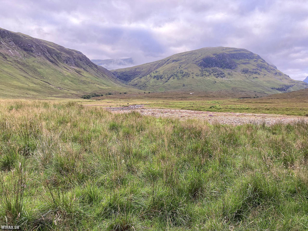
Nestled within the Fisherfield Forest, also known as the Great Wilderness, lie Scotland’s most secluded Munros. The region unveils a breathtaking display of dramatic peaks and ridges, offering some of the most spectacular views in all of Scotland. The Fisherfield Five route encompasses five Munros and one Corbett, with the journey commencing and concluding at Shenavall bothy or a nearby wild camp. The terrain poses challenges, featuring steep hillsides, scree, boulder fields, and broad grass slopes. Walkers should be prepared for sections of easy scrambling and serious river crossings along the way.
On this trip I would activate six Summits on the Air mountains as part of a three-night wild camping trip, bagging a total of 38 SOTA activator points. In addition to my camping equipment and food, I carried a Yaesu FT891 100-watt radio, SOTAbeams Band Hopper III linked dipole antenna and 8400mAh 4S LiFePo4 battery. I also took a Yaesu VX6 2m/70cm handheld radio (primarily to convince myself it was entirely necessary to carry the heavy Yaesu FT891 setup!).
The sequence of summits for this circular walk was GM/NS-022 (914m), GM/NS-010 (989m), GM/NS-006 (1015m), GM/NS-016 (934m), GM/NS-013 (967m), and GM/NS-021 (919m).
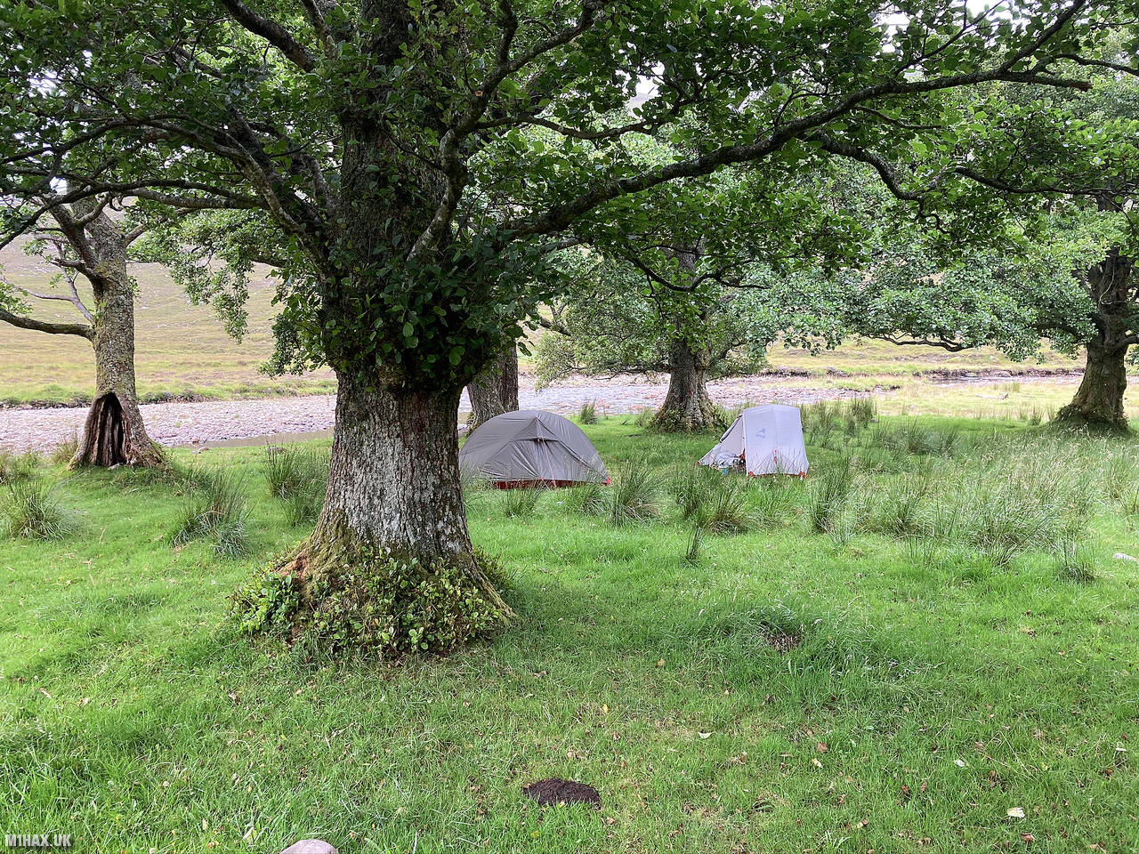
After a long drive north, we parked in a busy layby southeast of Dundonnell where a track heads south towards Shenavall bothy. An easy walk along a track took us to our first campsite in a small wooded area on the banks of the Abhainn Srath na Sealga river. The camping ground was very beautiful but the stay was marred by a truly apocalyptic quantity of midges (flies).
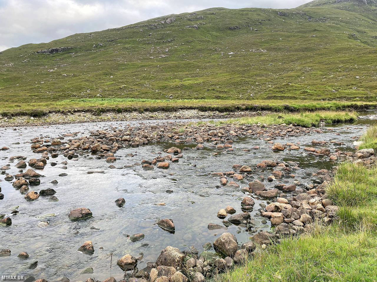
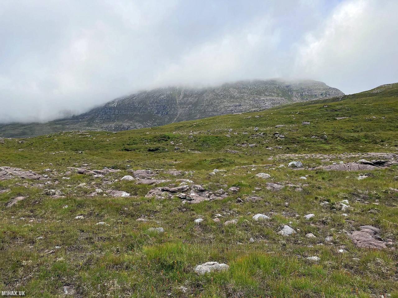
The following morning, we packed up the tents, and headed west towards the summit of Beinn a’Chlaidheimh. This hill was listed as a Munro until 2012 when it was downgraded due to being lower than previously thought. After an easy river crossing, we tracked a very faint intermittent path taking us on a steady climb up totalling about 700 metres. This would be the biggest vertical ascent of the day.
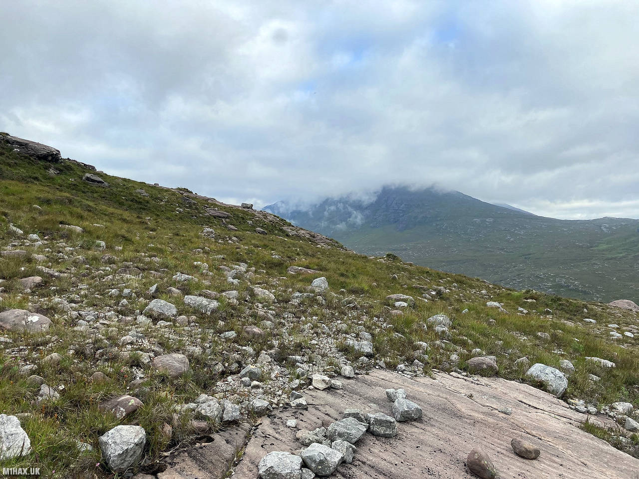
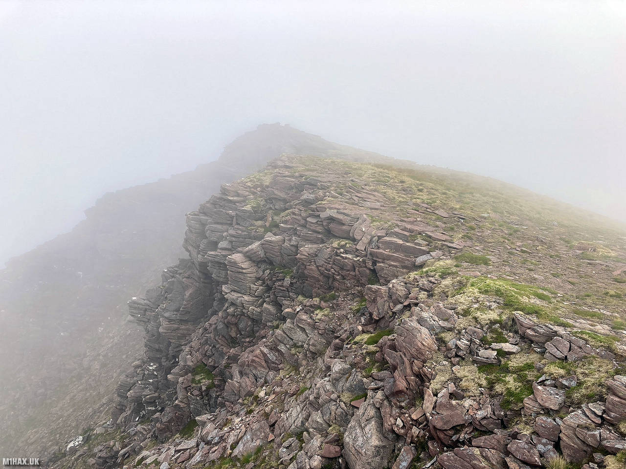
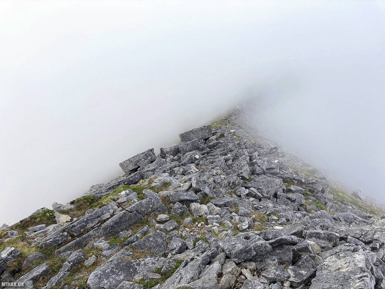
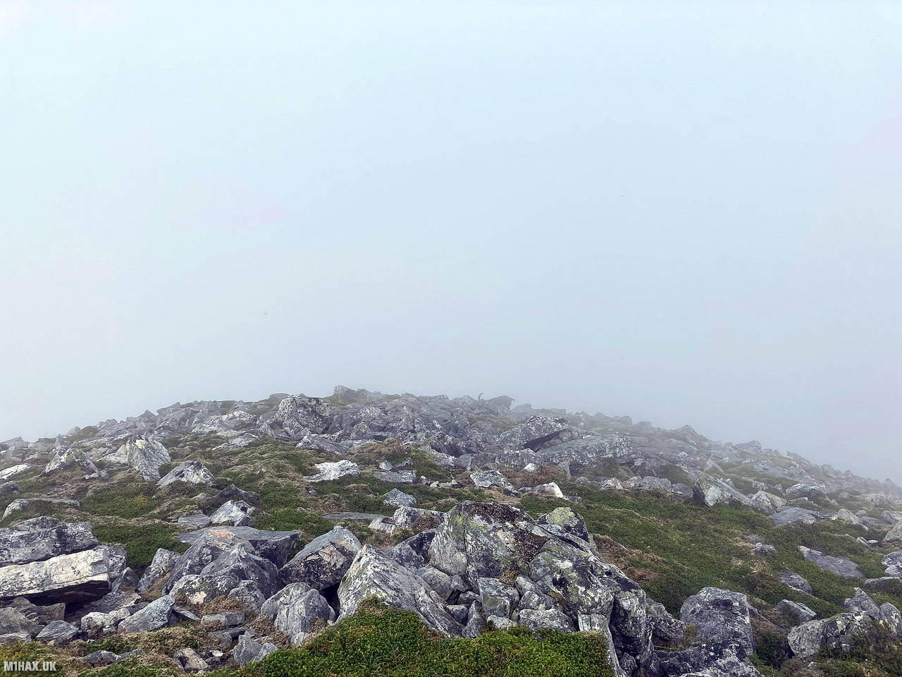
As we approached the summit, a steep seemingly impenetrable rock face lay ahead of us, but the path wound its way diagonally up without ever becoming technical. A thick fog descended on the hill, obscuring the views across the forest.
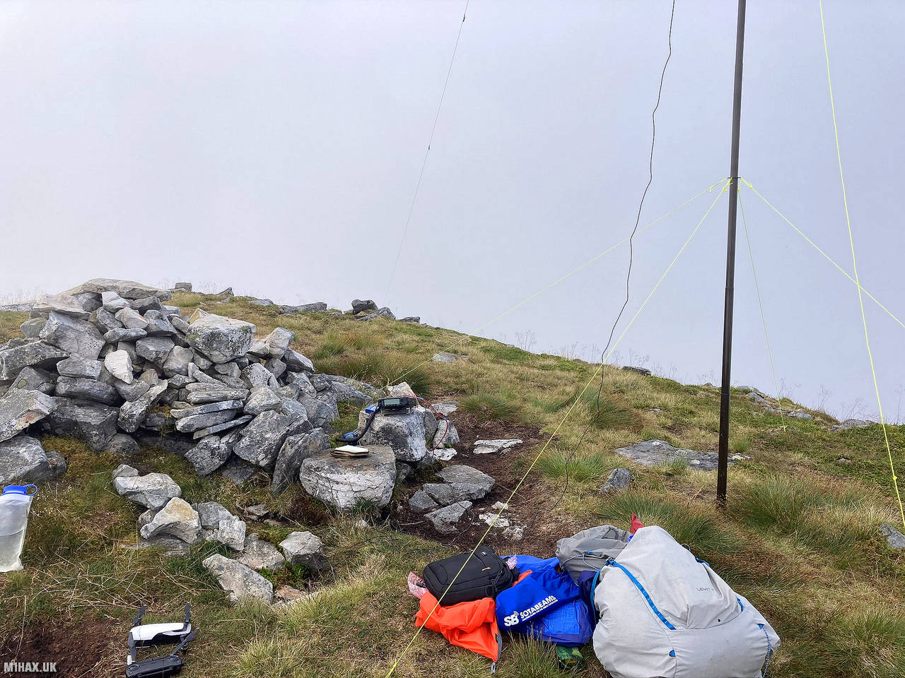
Following a rocky broad ridge, we arrived at the summit of GM/NS-022. I set up my antenna mast and prepared for what would be the second ever activation of the hill. Band conditions were not great, and after about 25 minutes I had made a handful of inter-G contacts on 40 metres, including a summit to summit with GW4TQE/P. After packing away the HF radio station, I managed to make two contacts on 2 metres using my Yaesu VX6.
We then continued south along the ridge heading towards the next summit, GM/NS-010.
Photos
Below are some photographs taken during my activation of Beinn a' Chlaidheimh on Friday 14th August, 2020.


Walking Route for Beinn a' Chlaidheimh
The interactive map below shows my GPS track taken to the SOTA activation zone for Beinn a' Chlaidheimh. Note that this summit was activated as part of a multi-summit hike and the map below shows the full route taken on the day. The GM/NS-022 summit area is marked on the map with a blue pin icon.
You can download the route shown above as a GPX file suitable for use with most GPS devices. This file is provided for information only, to support your own walk planning and research (it may contain navigation errors, detours and/or safety hazards). The route downloads provided here are governed by the Creative Commons BY-NC-SA 4.0 licence.
Station Log
I logged the following 10 amateur radio contacts operating as MM1HAX/P from GM/NS-022 Beinn a' Chlaidheimh on Friday 14th August, 2020 (all times shown are UTC):
| Time | Callsign | Band | Mode | Notes |
|---|---|---|---|---|
| 09:26 | G7BGA | 40m | SSB | Geoff, 5/7 |
| 09:31 | GW4TQE/P | 40m | SSB | John, 5/6, S2S GW/NW-061 |
| 09:33 | M1EAG | 40m | SSB | Kev, 5/8 |
| 09:37 | G3SVK | 40m | SSB | Fred, 5/7 |
| 09:40 | LA2HLA/P | 40m | SSB | Knut, 5/7 |
| 09:40 | G3NFV | 40m | SSB | Robin, 5/7 |
| 09:41 | G4BYY | 40m | SSB | Keith, 5/7 |
| 09:42 | G0FEX | 40m | SSB | Ken, 5/7 |
| 10:07 | MM0CMV/M | 2m | FM | Duncan, 5/4 |
| 10:08 | GM0DRU | 2m | FM | Ian, 5/9 |
In the notes field I will usually log the other operator’s name and the signal report they provided. In accordance with the Summits on the Air rules, I do not make a log entry where a complete exchange of callsigns and signal reports was unsuccessful.
Additional Information
The following resources may be helpful to walkers, mountaineers and SOTA activators interested in Beinn a' Chlaidheimh:
- Sotl.as Summit Page for GM/NS-022 Beinn a' Chlaidheimh.
- Hill Bagging UK Summit Page for Beinn a' Chlaidheimh.
- Google Maps Page for Beinn a' Chlaidheimh.
- Wikipedia entry for Beinn a' Chlaidheimh.
If you found this content valuable, why not Buy Me a Coffee?