Ben Nevis - GM/WS-001 SOTA (2020)

Summits on the Air Activation Report
Activation Date: Monday 31st August, 2020.
Activator(s): Richard M1HAX.
Summit: Ben Nevis, Western Scotland, Scotland.
Summit ID: SOTA reference GM/WS-001 (10 points).
Summit Height: 1345m elevation, 1345m prominence.
Summit Location: Lat./Long. 56.79689, -5.00368. Maidenhead Grid IO76lt.
Also Activated: GM/WS-003.
Distance: 19.2km travelled with 1503m of ascent.
Difficulty: SAC Grade T3.(?)
Elapsed Time: 7hr 15m (incl. operating and other summit(s) on the same hike).
Weather: Feels like -0.6°C, 19 kph SSW wind, 87% humidity.
Radio Equipment: Yaesu FTM100D, MFJ-1714, Zippy 4200mAh 4S LiFePo4. Yaesu VX6, Diamond SRH770S.
Callsign Used: MM1HAX/P.
Contacts: 9 (2m FM, 70cm FM).
Trip Notes
Ben Nevis is the highest mountain in the UK, rising 1,345 meters above sea level near Fort William in Scotland. It attracts hikers and climbers from around the world, offering various routes to its summit, with the Pony Track being the most popular. The mountain’s unpredictable weather and stunning panoramic views make it a challenging yet rewarding destination for outdoor enthusiasts.
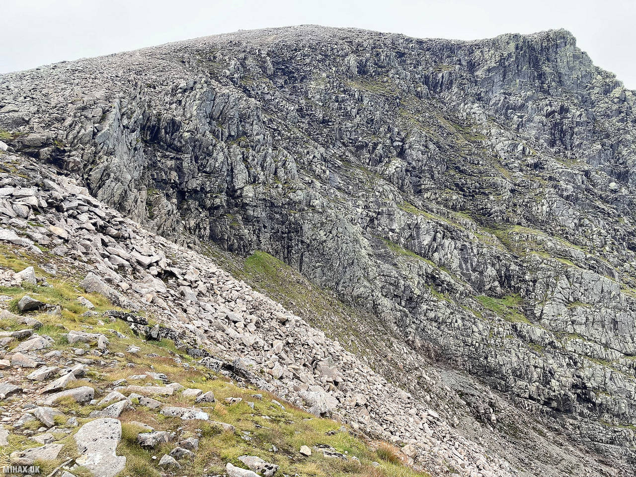
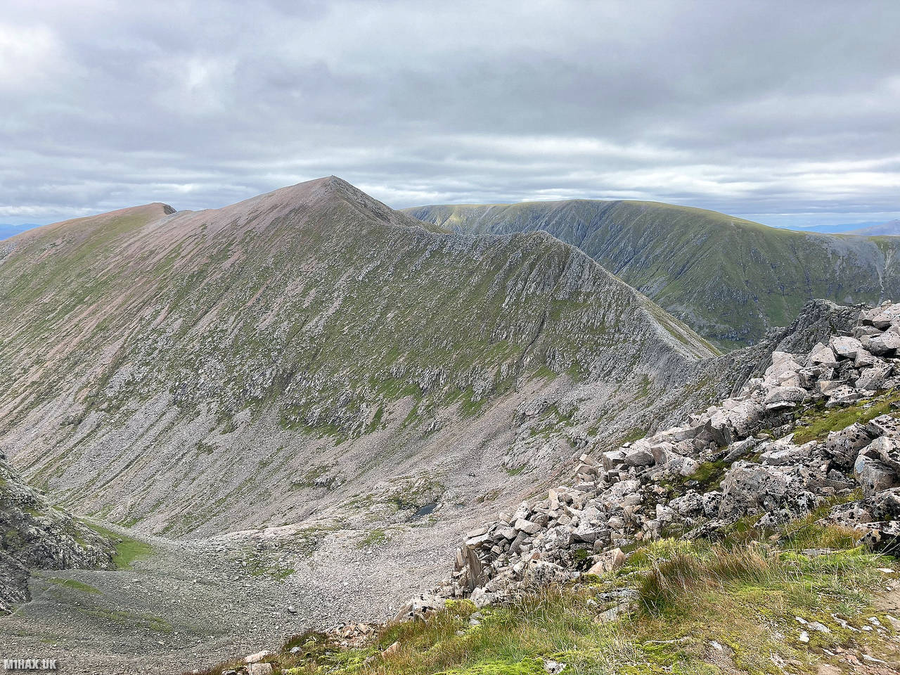
For this ascent of the mountain, I would approach via the less popular CMD Arete route, having previously summited and descended the neighbouring Munro, Carn Mor Dearg. This is a challenging and dangerous route, with the advantage of avoiding the crowds of tourists on the west face.
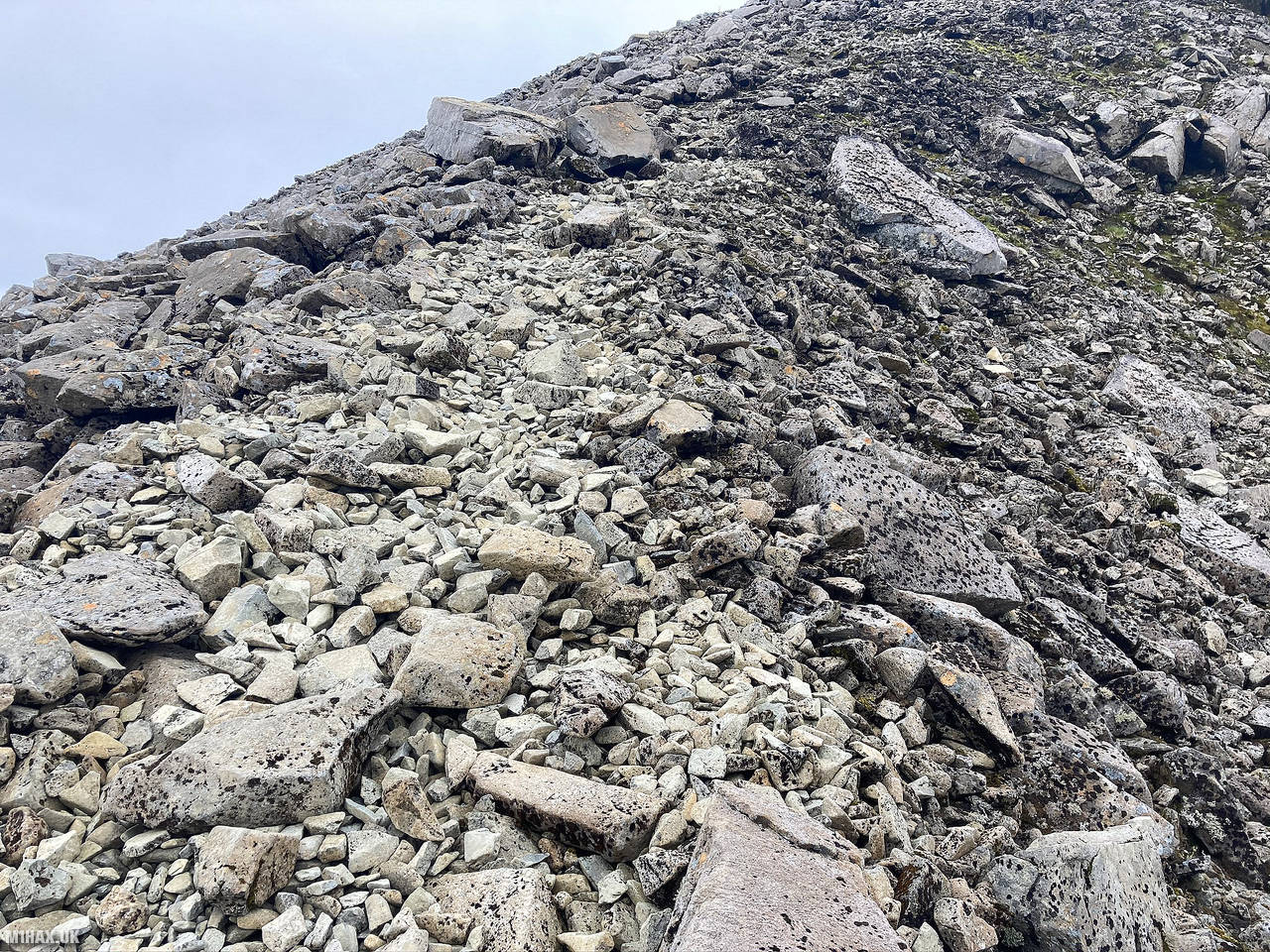
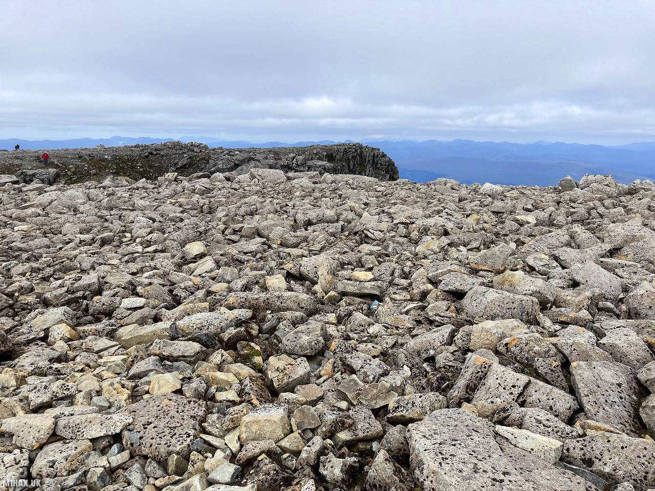
I had made good progress around the arete and after some three hours of hiking I had reached the final steep ascent up the rocky southeastern slope.
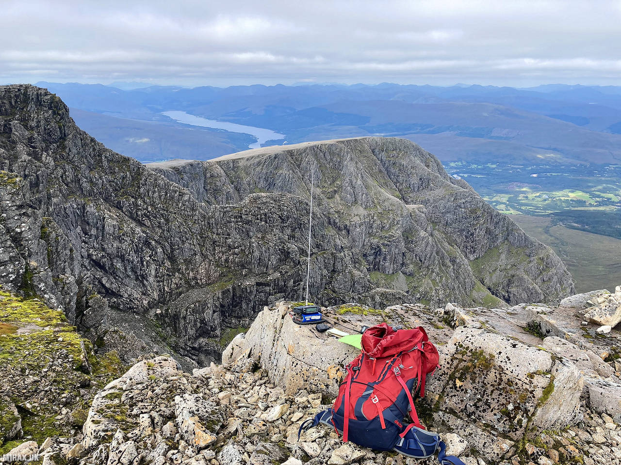
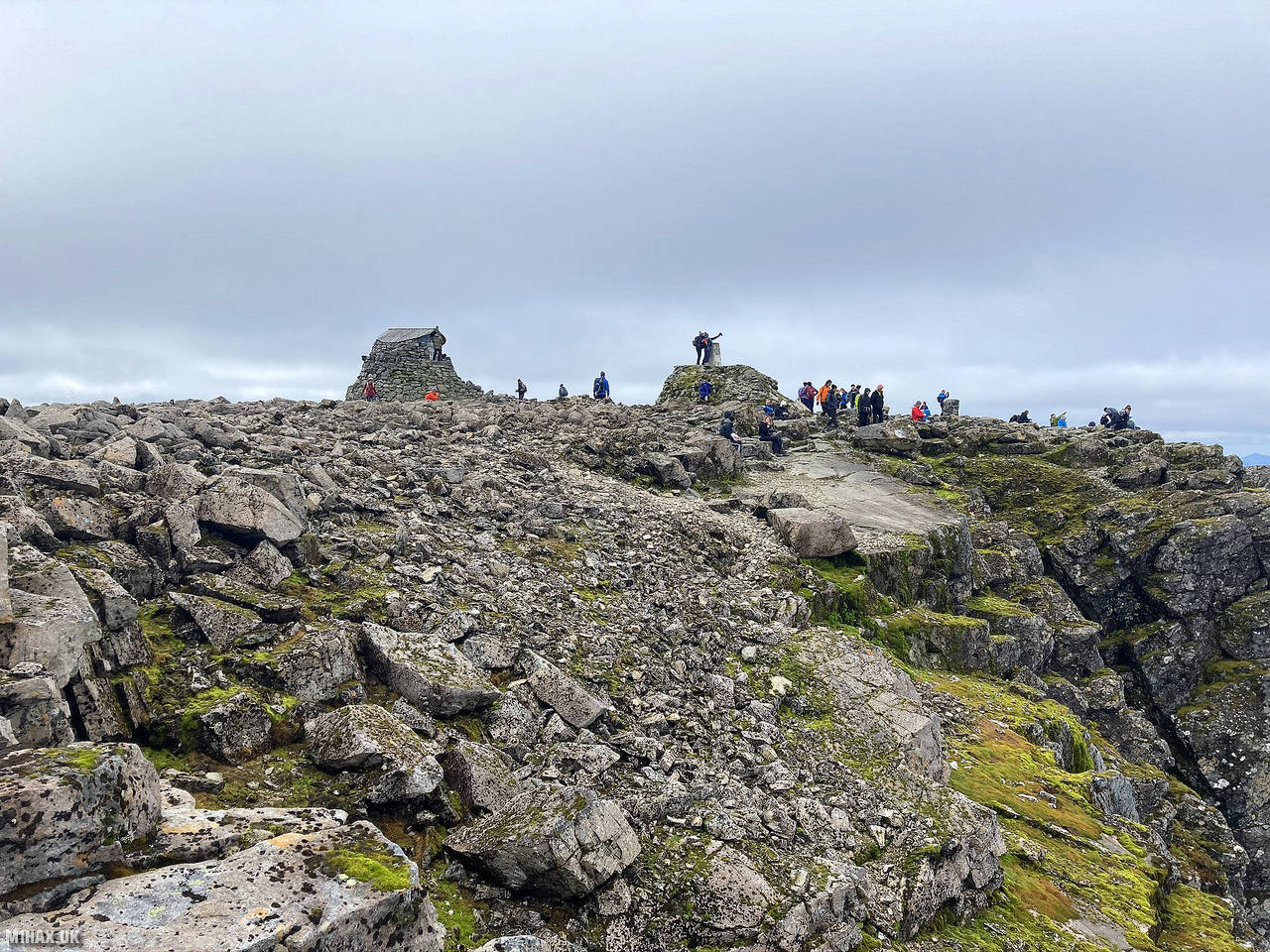
After a steady climb of about three hundred metres vertically I arrived at a very busy Ben Nevis summit. Up to this point I had passed maybe four or five people, however I was met with a noisy crowd of dozens of people.
I perched myself on a rocky outcrop away from the summit shelter area and set up my Yaesu mobile rig and VX6 handheld radio. After about twenty minutes I worked a number of local stations, and a surprising DX contact on 2-metres FM to Victor GI4ONL some 200 kilometres away near the Giants Causeway in Northern Ireland.
As with the previous summit earlier in the day, I managed to work a couple of the local operators on UHF before packing the station away. Given it was a Monday morning I accepted I was not going to be filling the logbook with a pileup today.
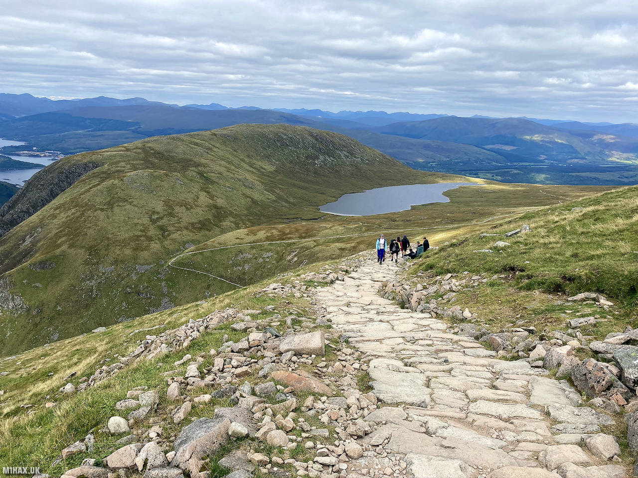
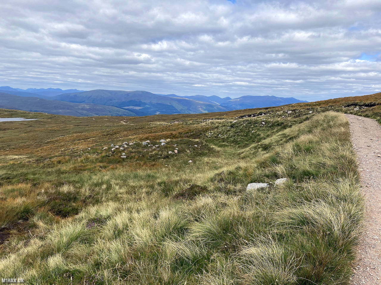
I then continued my hiking circuit by descending the pony track on the west slope of Ben Nevis. Conscious of time, I took full advantage of my rigid B2 boots and ran down much of the rocky path, progressing to a T-junction in the Ben Nevis Mountain Path near Lochan Meall an t-Suidhe. Here I left the crowds behind again, heading north, to cross the river and pick up the trail I had ascended early that morning.
After seven hours I had returned to the car and started a long drive back to Southern England. The CMD Arete horseshoe route around Ben Nevis is a classic and spectacular route and a great way to capture 20 SOTA points in a single walk. It is also a popular winter route for the more experienced mountaineer.
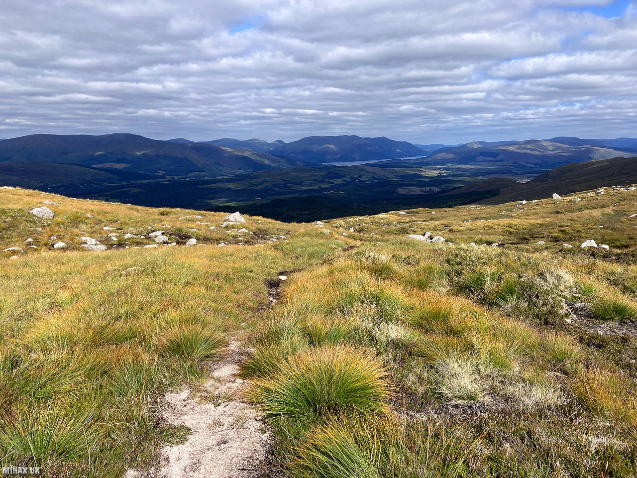
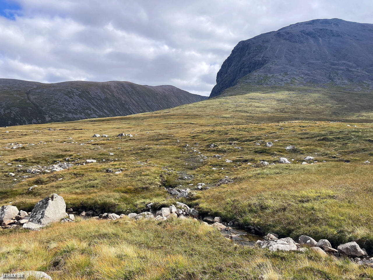
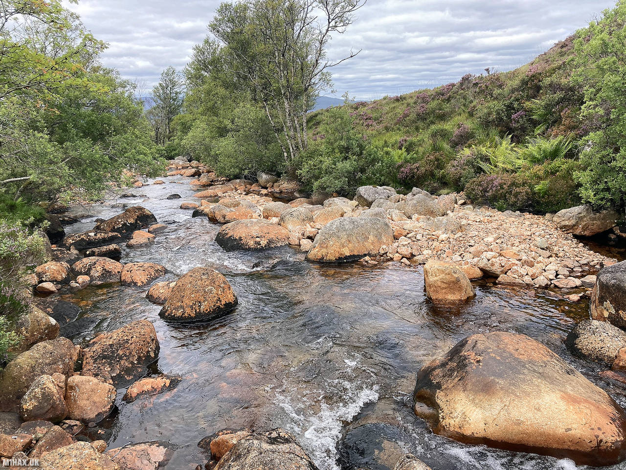
Photos
Below are some photographs taken during my activation of Ben Nevis on Monday 31st August, 2020.


Walking Route for Ben Nevis
The interactive map below shows my GPS track taken to the SOTA activation zone for Ben Nevis. Note that this summit was activated as part of a multi-summit hike and the map below shows the full route taken on the day. The GM/WS-001 summit area is marked on the map with a blue pin icon.
You can download the route shown above as a GPX file suitable for use with most GPS devices. This file is provided for information only, to support your own walk planning and research (it may contain navigation errors, detours and/or safety hazards). The route downloads provided here are governed by the Creative Commons BY-NC-SA 4.0 licence.
Station Log
I logged the following 9 amateur radio contacts operating as MM1HAX/P from GM/WS-001 Ben Nevis on Monday 31st August, 2020 (all times shown are UTC):
| Time | Callsign | Band | Mode | Notes |
|---|---|---|---|---|
| 10:29 | MM0CWJ | 2m | FM | Seamus, 5/9 |
| 10:33 | GM7PKT/P | 2m | FM | Robin, 5/9 |
| 10:34 | MM0LOZ | 2m | FM | Laurence, 5/7 |
| 10:35 | GM4OAS | 2m | FM | Gordon, 5/3 |
| 10:36 | GI4ONL | 2m | FM | Victor, 5/2 |
| 10:40 | GM4GUF | 2m | FM | Robert, 4/1 |
| 10:42 | MM0XPZ | 2m | FM | Steve, 5/5 |
| 10:46 | GM7PKT/P | 70cm | FM | Robin, 5/9 |
| 10:47 | MM0CWJ | 70cm | FM | Seamus, 5/1 |
In the notes field I will usually log the other operator’s name and the signal report they provided. In accordance with the Summits on the Air rules, I do not make a log entry where a complete exchange of callsigns and signal reports was unsuccessful.
Additional Information
The following resources may be helpful to walkers, mountaineers and SOTA activators interested in Ben Nevis:
- Sotl.as Summit Page for GM/WS-001 Ben Nevis.
- Hill Bagging UK Summit Page for Ben Nevis.
- Google Maps Page for Ben Nevis.
- Wikipedia entry for Ben Nevis.
If you found this content valuable, why not Buy Me a Coffee?