Elidir Fawr - GW/NW-005 SOTA (2020)

Summits on the Air Activation Report
Activation Date: Saturday 1st August, 2020.
Activator(s): Richard M1HAX.
Summit: Elidir Fawr, North Wales, Wales.
Summit ID: SOTA reference GW/NW-005 (8 points).
Summit Height: 924m elevation, 212m prominence.
Summit Location: Lat./Long. 53.13065, -4.07643. Maidenhead Grid IO73xd.
Distance: 24.4km travelled with 1574m of ascent.
Difficulty: SAC Grade T2.(?)
Elapsed Time: 9hr 50m (including operating).
Weather: Feels like 14.4°C, 15 kph WSW wind, 96% humidity.
Radio Equipment: Yaesu FTM100D, MFJ-1714, Zippy 4200mAh 4S LiFePo4.
Callsign Used: MW1HAX/P.
Contacts: 18 (2m FM).
Trip Notes
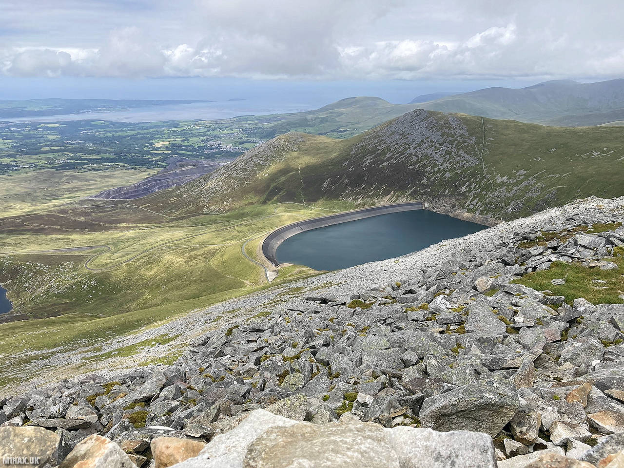
Elidir Fawr, the northernmost peak in the Glyderau range of Snowdonia, North Wales, is named after a legendary warrior king. It overlooks the small lake, Marchlyn Mawr, serving as the upper reservoir for the concealed Dinorwig power station. Elidir Fawr’s prominence from the north gives it the illusion of surpassing the taller mountains behind it.
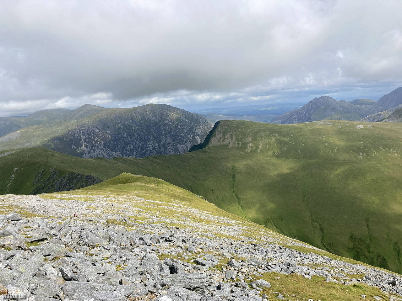
This activation of Elidir Fawr was undertaken as part of a 24km circuit also including Glyder Fawr and Y Garn. As I have previously documented these other two summits here, this write up begins descending north off the summit of Y Garn.
The walk to Elidir Fawr from Y Garn is straightforward, following a gravel path which contours around the summits of Foel Goch and Mynydd Perfedd.
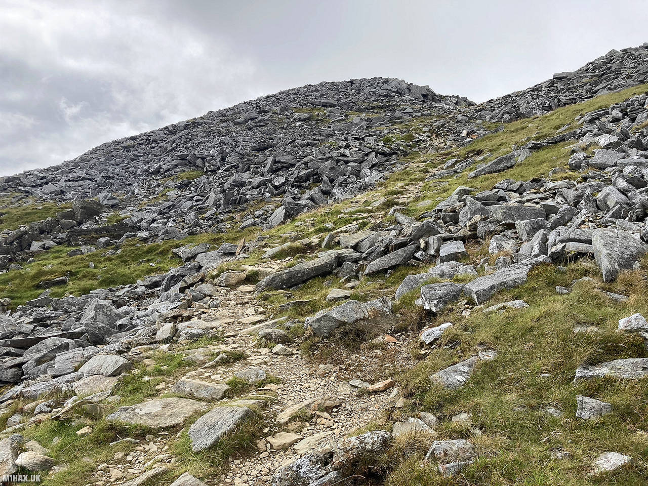
Nearing the summit, there is a small boulder field to negotiate before arriving at a substantial stone shelter. I laid out my wet waterproofs to dry and set up the radio. This is an easy summit to activate on the 2-metre band and probably the best location in North Wales to make radio contacts with Irish stations. After a productive twenty minutes I packed everything away ready to return to my distant start point at Gwern gof Isaf campsite.
As I retraced my steps around the path back towards Y Garn, I opted to cut out some unnecessary ascent and follow a sheep track around the northern face of the hill. Unless it is dry and you are surefooted, this is not a recommended shortcut for the sake of avoiding 25 metres of ascent.
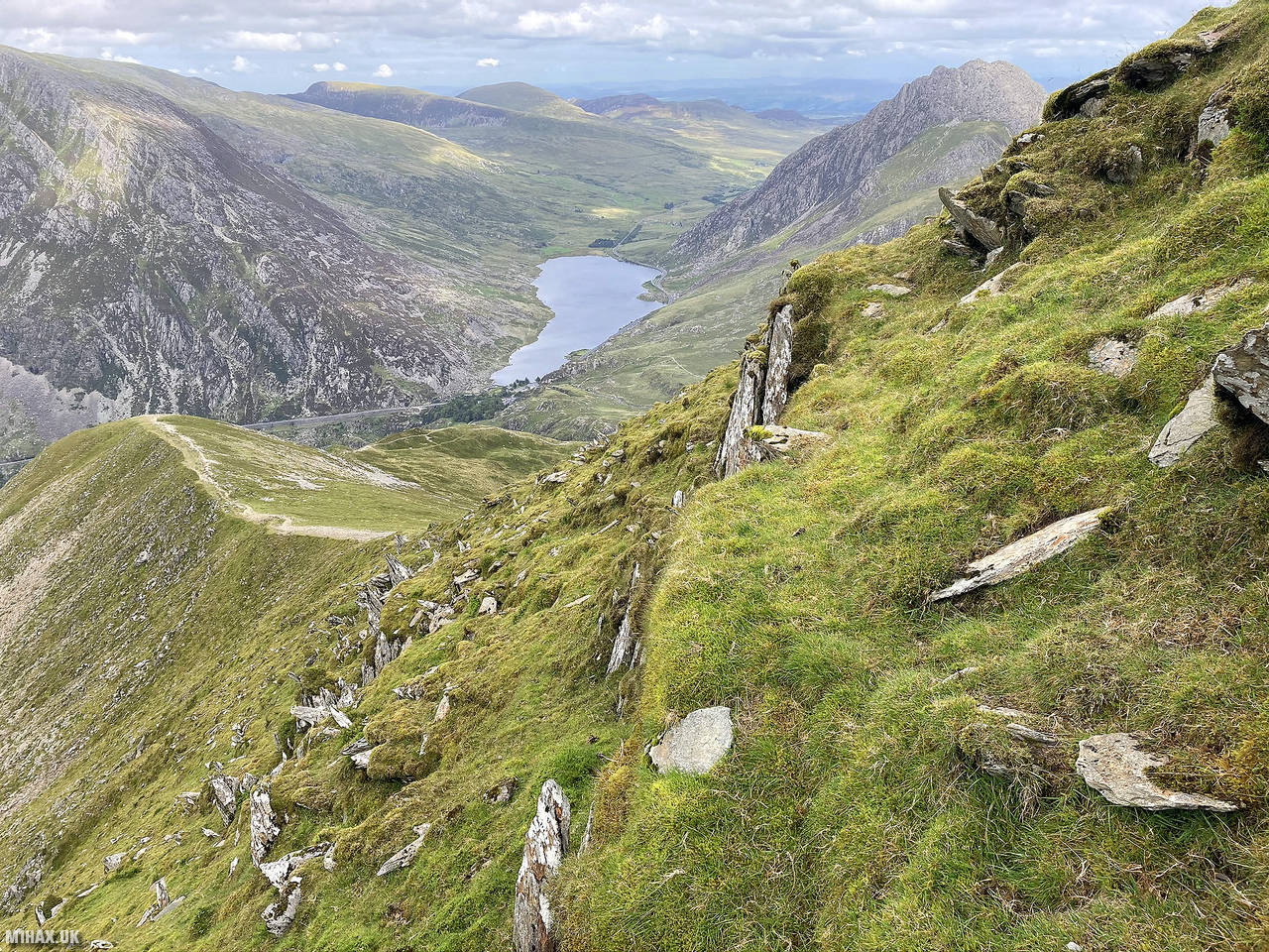
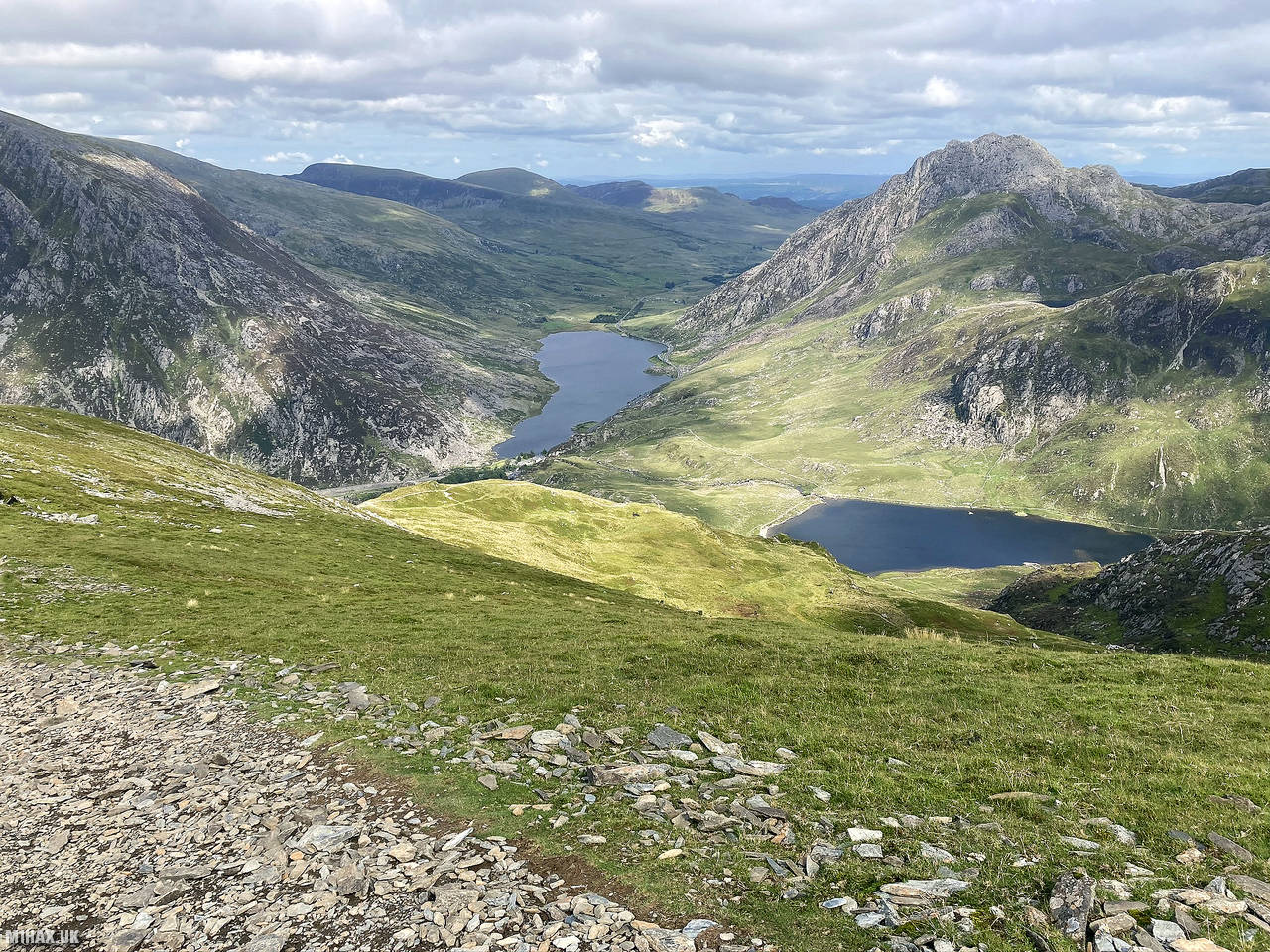
I followed the eastern descent path down towards the beach at the end of Llyn Idwal. From here I followed the foot paths back towards my start point earlier in the day.
Elidir Fawr is a great 8-point SOTA summit and a must-do hill in Snowdonia. Another good alternative route to the top of this mountain is from the north, parking at the start of the Marchlyn Mawr access road and following a footpath on the northern side of the hill.
Photos
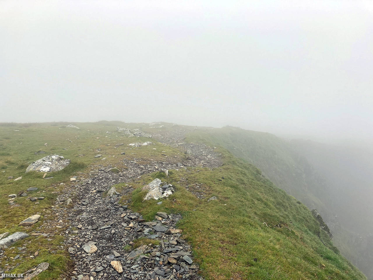
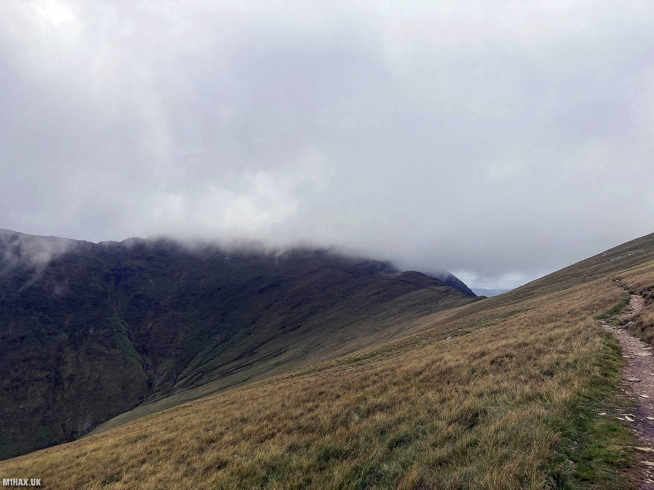
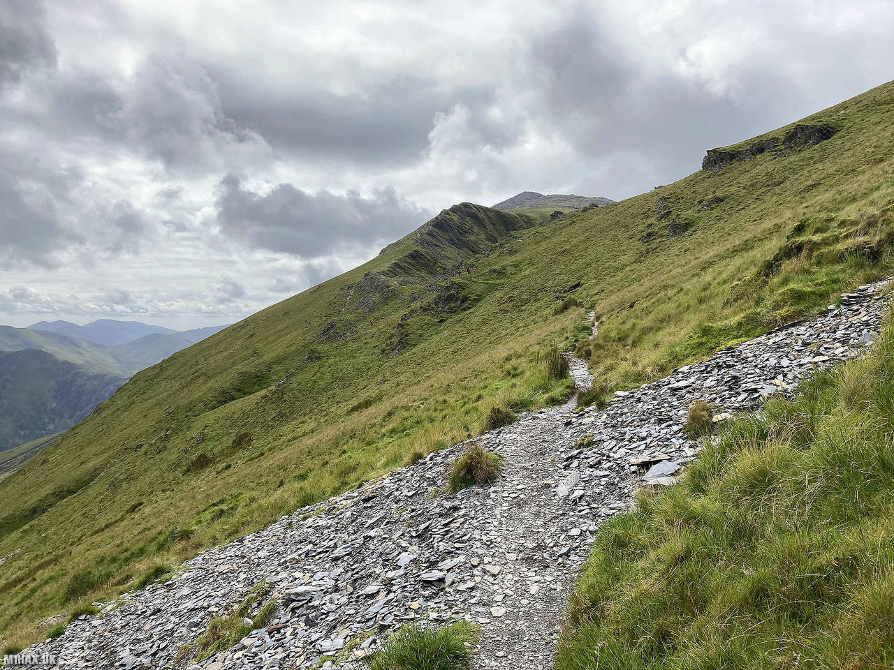
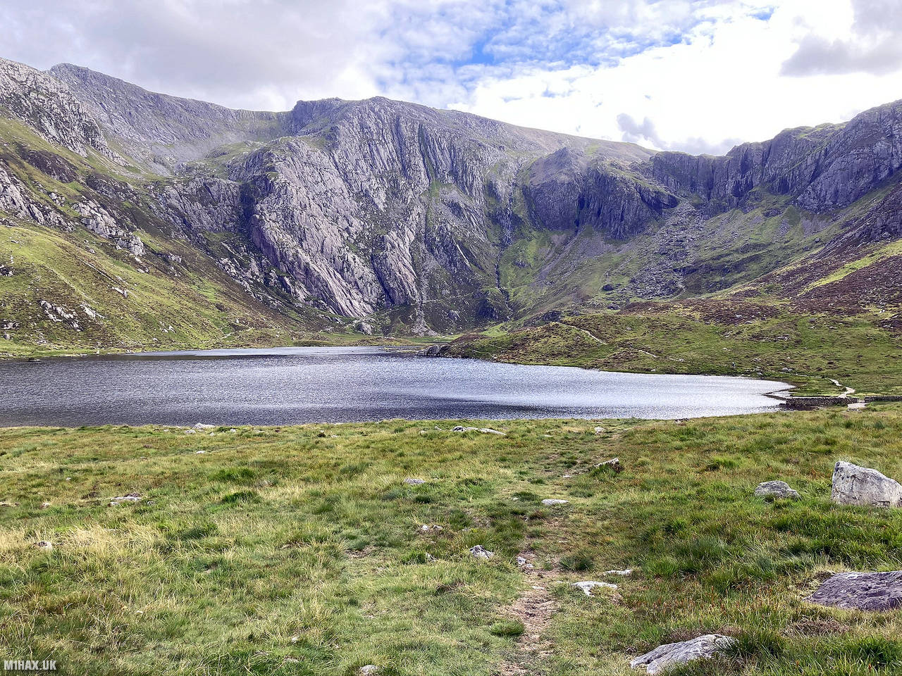
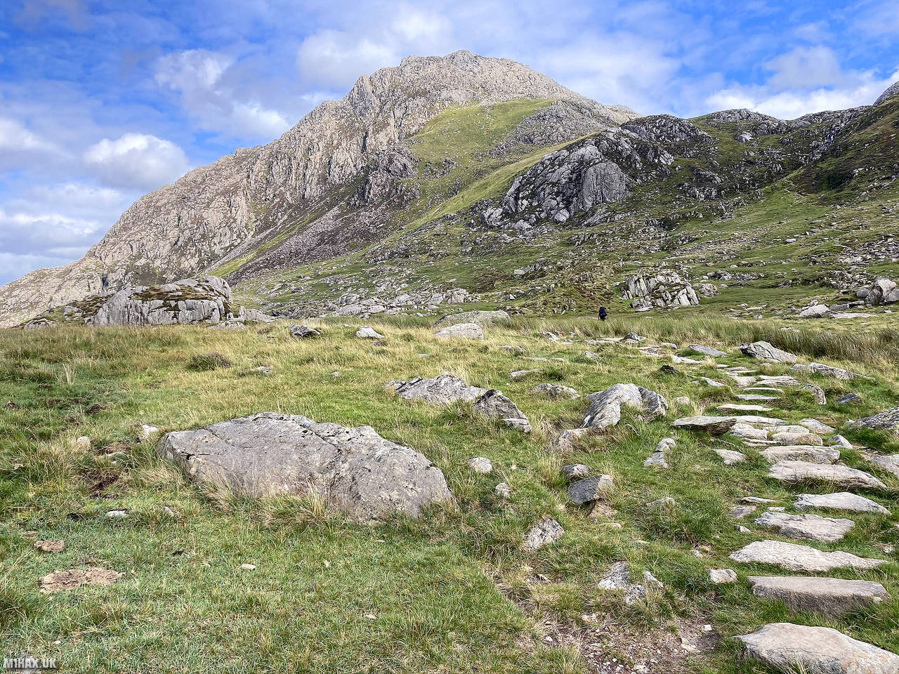
Below are some photographs taken during my activation of Elidir Fawr on Saturday 1st August, 2020.


Walking Route for Elidir Fawr
The interactive map below shows my GPS track taken to the SOTA activation zone for Elidir Fawr. The GW/NW-005 summit area is marked on the map with a blue pin icon.
You can download the route shown above as a GPX file suitable for use with most GPS devices. This file is provided for information only, to support your own walk planning and research (it may contain navigation errors, detours and/or safety hazards). The route downloads provided here are governed by the Creative Commons BY-NC-SA 4.0 licence.
Station Log
I logged the following 18 amateur radio contacts operating as MW1HAX/P from GW/NW-005 Elidir Fawr on Saturday 1st August, 2020 (all times shown are UTC):
| Time | Callsign | Band | Mode | Notes |
|---|---|---|---|---|
| 13:21 | EI3ISB | 2m | FM | John, 5/9, S2S EI/IE-066 |
| 13:24 | EI6FR/P | 2m | FM | Declan, 5/7, S2S EI/IE-066 |
| 13:25 | GW4ZPL | 2m | FM | John, 5/9 |
| 13:27 | EI3KT/P | 2m | FM | Ian, 5/9, S2S EI/IE-021 |
| 13:29 | EI4KT/P | 2m | FM | Esther, 5/9, S2S EI/IE-021 |
| 13:29 | 2E0MIX | 2m | FM | Derek, 5/9 |
| 13:30 | G0HRT | 2m | FM | Rob, 5/6 |
| 13:31 | G0NAJ | 2m | FM | John, 5/9 |
| 13:32 | MW7GNZ | 2m | FM | Gareth, 5/9 |
| 13:33 | MW0IDX | 2m | FM | Roger, 5/5 |
| 13:34 | EI6KO/P | 2m | FM | Albert, 5/9, S2S EI/IE-003 |
| 13:35 | GW4VPX | 2m | FM | Allan, 5/9 |
| 13:35 | M7XUP | 2m | FM | Steve, 5/7 |
| 13:36 | G0MHF | 2m | FM | John, 5/5 |
| 13:38 | M0NOM/P | 2m | FM | Mark, 5/9 |
| 13:39 | 2E0LDF | 2m | FM | Reg, 4/3 |
| 13:39 | M0MHW | 2m | FM | Gary, 5/3 |
| 13:40 | M1FHM | 2m | FM | Alan, 5/5 |
In the notes field I will usually log the other operator’s name and the signal report they provided. In accordance with the Summits on the Air rules, I do not make a log entry where a complete exchange of callsigns and signal reports was unsuccessful.
Additional Information
The following resources may be helpful to walkers, mountaineers and SOTA activators interested in Elidir Fawr:
- Sotl.as Summit Page for GW/NW-005 Elidir Fawr.
- Hill Bagging UK Summit Page for Elidir Fawr.
- Google Maps Page for Elidir Fawr.
- Wikipedia entry for Elidir Fawr.
- 360° Panorama near summit of GW/NW-005 Elidir Fawr.
If you found this content valuable, why not Buy Me a Coffee?