Creigiau Gleision - GW/NW-028 SOTA (2020)

Summits on the Air Activation Report
Activation Date: Saturday 26th September, 2020.
Activator(s): Richard M1HAX.
Summit: Creigiau Gleision, North Wales, Wales.
Summit ID: SOTA reference GW/NW-028 (4 points).
Summit Height: 678m elevation, 262m prominence.
Summit Location: Lat./Long. 53.13580, -3.90137. Maidenhead Grid IO83bd.
Distance: 12.4km travelled with 607m of ascent.
Difficulty: SAC Grade T2.(?)
Elapsed Time: 4hr 10m (including operating).
Weather: Feels like 6.7°C, 15 kph NNE wind, 65% humidity.
Radio Equipment: Yaesu FTM100D, MFJ-1714, Zippy 4200mAh 4S LiFePo4.
Callsign Used: MW1HAX/P.
Contacts: 20 (2m FM).
Trip Notes
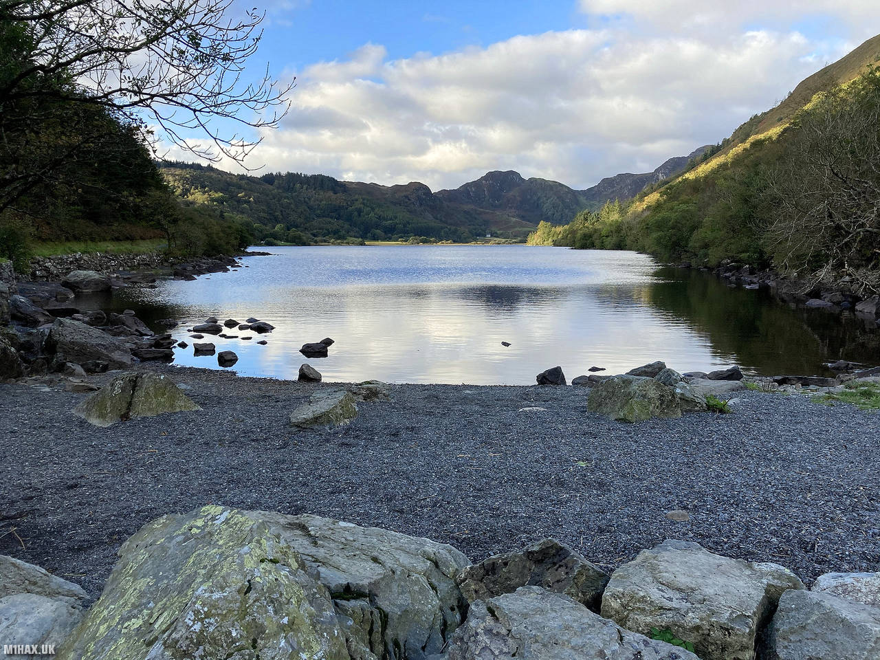
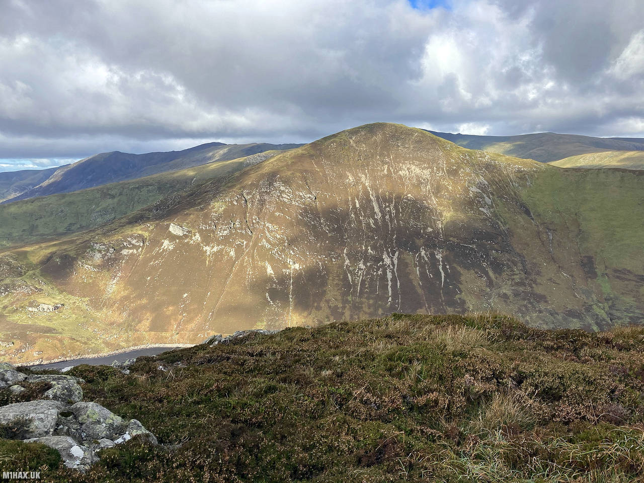
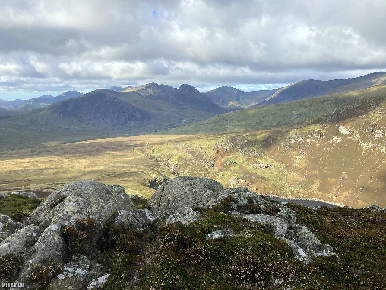
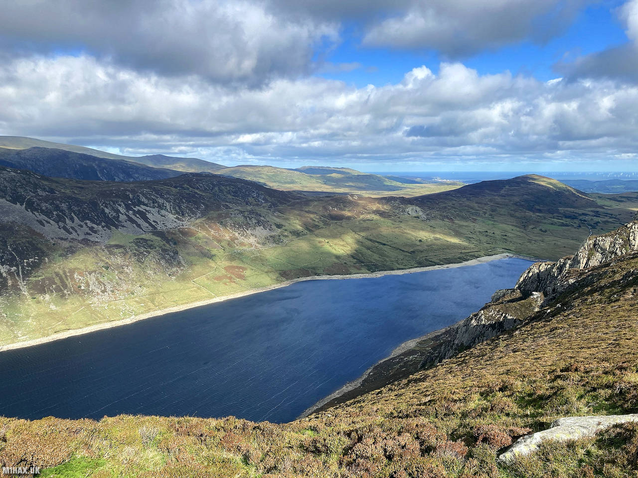
Creigiau Gleision, nestled in Snowdonia National Park, is a captivating mountain with an elevation of 678 meters. A popular destination for hikers, it offers diverse trails with grassy slopes, rocky terrain, and breathtaking panoramic views of Snowdonia’s rugged beauty, including the nearby Llyn Cowlyd and Llyn Crafnant.
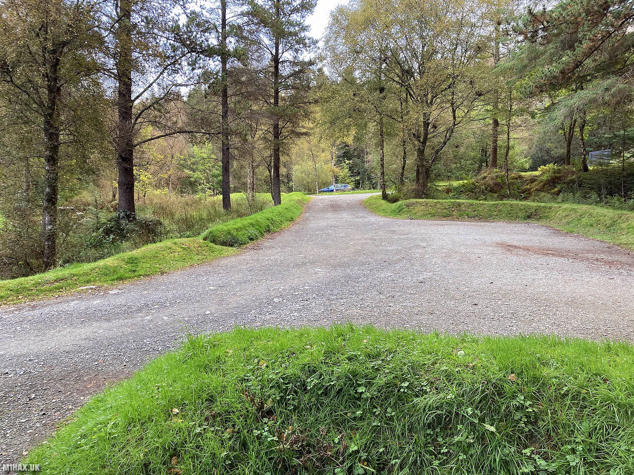
For this hike I selected a route starting in the large parking area at the Llyn Crafnant Forest Park to the east of the summit. There are public toilets located here. The car park can get busy in summer with tourists and walkers looking to enjoy the lakeside path around Llyn Crafnant.
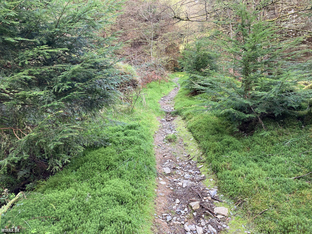
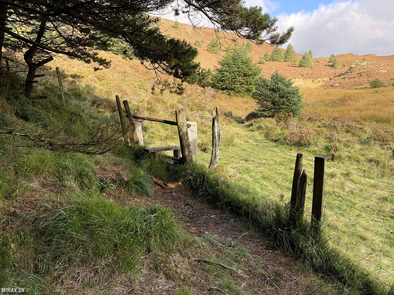
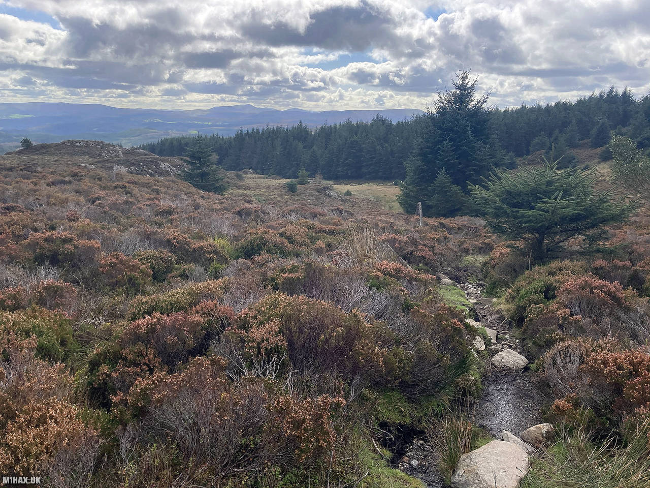
I started the walk by heading south west following the lakeside path. After about a kilometre there is a forest track which forks right heading uphill. There is a forest on this side of the mountain with a number of paths and access roads weaving through it. I continued to head north up the hill, aiming for a footpath that continues north out of the forest.
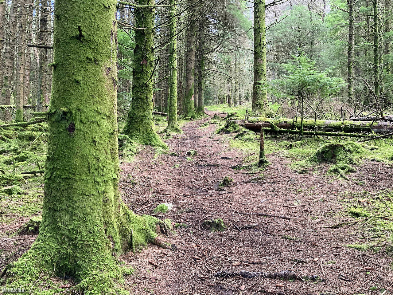
Whilst this is a relatively large walk for a Welsh 4-point SOTA summit, it is a rewarding one with a variety of terrain and views. The moss-covered forest and its various fungi were very pleasant to walk through.
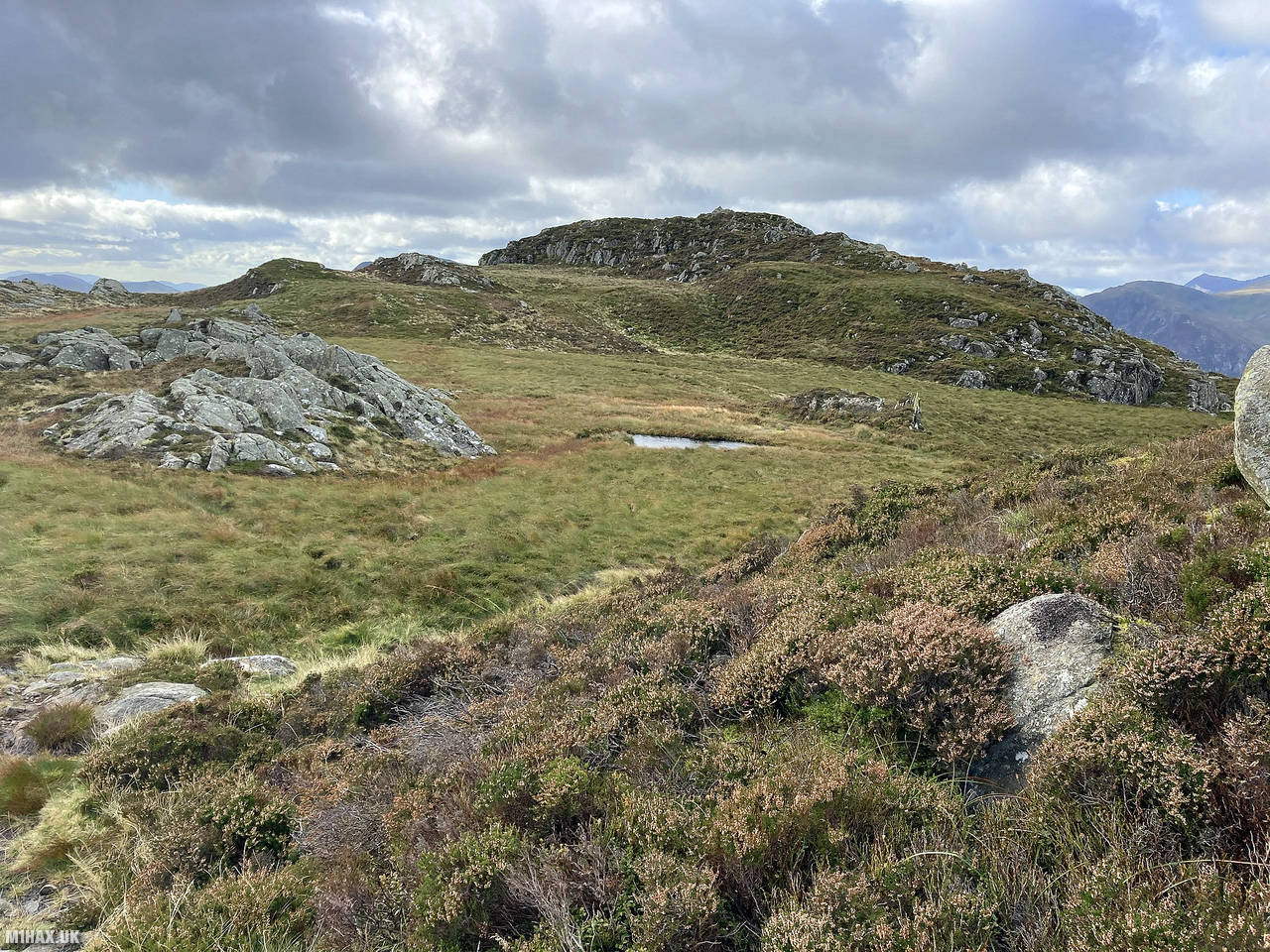
Eventually the forest is left behind and a narrow trail across heather moor continues up to the col west of Pen y Craig Gron. Here the route turns west towards the summit of Creigiau Gleision and some boggy ground has to be navigated over or around.
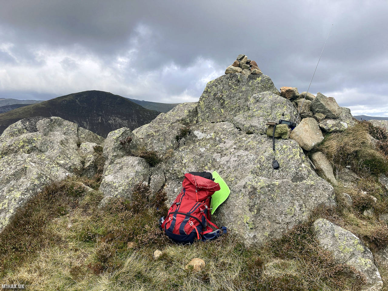
The ridge is followed for a couple of kilometres until the true summit at 678 metres is reached.
Making use of the rocky outcrops on the summit I setup my Yaesu FTM100D radio and worked a good number of local amateur radio stations on VHF. This included three summit-to-summit contacts including with Tom M1EYP, ever resident on The Cloud G/SP-015.
For the return leg I simply retraced my steps back down through the forest and past the lake back to the car park. This is a great walk to enjoy on a sunny day.
Photos
Below are some photographs taken during my activation of Creigiau Gleision on Saturday 26th September, 2020.


Walking Route for Creigiau Gleision
The interactive map below shows my GPS track taken to the SOTA activation zone for Creigiau Gleision. The GW/NW-028 summit area is marked on the map with a blue pin icon.
You can download the route shown above as a GPX file suitable for use with most GPS devices. This file is provided for information only, to support your own walk planning and research (it may contain navigation errors, detours and/or safety hazards). The route downloads provided here are governed by the Creative Commons BY-NC-SA 4.0 licence.
Station Log
I logged the following 20 amateur radio contacts operating as MW1HAX/P from GW/NW-028 Creigiau Gleision on Saturday 26th September, 2020 (all times shown are UTC):
| Time | Callsign | Band | Mode | Notes |
|---|---|---|---|---|
| 10:04 | MW0UPH/M | 2m | FM | Aled, 5/9 |
| 10:06 | GW4ZPL | 2m | FM | John, 3/2 |
| 10:07 | 2E0IXM/P | 2m | FM | David, 5/9, S2S G/LD-009 |
| 10:08 | M1EYP/P | 2m | FM | Tom, 5/9, S2S G/SP-015 |
| 10:09 | 2E0XYL | 2m | FM | Karen, 5/9 |
| 10:10 | 2E0LIU | 2m | FM | Iain, 5/9 |
| 10:11 | G6LKB | 2m | FM | David, 5/9 |
| 10:11 | G0LWU | 2m | FM | Andrew, 5/9 |
| 10:12 | M0GIB | 2m | FM | David, 5/9 |
| 10:14 | GW4CQZ | 2m | FM | Martin, 5/9 |
| 10:15 | M7HUB | 2m | FM | David, 5/7 |
| 10:16 | G0ELM/M | 2m | FM | Phil, 5/9 |
| 10:16 | M0RNW | 2m | FM | Ron, 4/7 |
| 10:17 | GW4VPX | 2m | FM | Allan, 5/3 |
| 10:19 | MW0JWP | 2m | FM | John, 5/9 |
| 10:20 | MW7LCX | 2m | FM | Liam, 5/2 |
| 10:21 | MW0OFA | 2m | FM | Frank, 5/3 |
| 10:22 | 2E0JCM | 2m | FM | John, 5/9 |
| 10:23 | GW4TJC/P | 2m | FM | Simon, 5/9, S2S GW/NW-026 |
| 10:27 | M7DRB | 2m | FM | Brian, 5/9 |
In the notes field I will usually log the other operator’s name and the signal report they provided. In accordance with the Summits on the Air rules, I do not make a log entry where a complete exchange of callsigns and signal reports was unsuccessful.
Additional Information
The following resources may be helpful to walkers, mountaineers and SOTA activators interested in Creigiau Gleision:
- Sotl.as Summit Page for GW/NW-028 Creigiau Gleision.
- Hill Bagging UK Summit Page for Creigiau Gleision.
- Google Maps Page for Creigiau Gleision.
- Wikipedia entry for Creigiau Gleision.
- 360° Panorama near summit of GW/NW-028 Creigiau Gleision.
If you found this content valuable, why not Buy Me a Coffee?