Foel Cedig - GW/NW-034 SOTA (2020)

Summits on the Air Activation Report
Activation Date: Sunday 27th September, 2020.
Activator(s): Richard M1HAX.
Summit: Foel Cedig, North Wales, Wales.
Summit ID: SOTA reference GW/NW-034 (4 points).
Summit Height: 667m elevation, 180m prominence.
Summit Location: Lat./Long. 52.84281, -3.51331. Maidenhead Grid IO82fu.
Distance: 10.2km travelled with 353m of ascent.
Difficulty: SAC Grade T1.(?)
Elapsed Time: 2hr 40m (including operating).
Weather: Feels like 11.1°C, 19 kph N wind, 64% humidity.
Radio Equipment: Yaesu FTM100D, MFJ-1714, Zippy 4200mAh 4S LiFePo4.
Callsign Used: MW1HAX/P.
Contacts: 14 (2m FM).
Trip Notes
Foel Cedig is a Marilyn (a hill with relative prominence of 150 metres or more), located on the border of Gwynedd and Powys in North Wales. In 2018, it replaced Cyrniau Nod as the prominent Marilyn for the area, leading to recompletion challenges for peak baggers due to its close proximity to Cyrniau Nod.
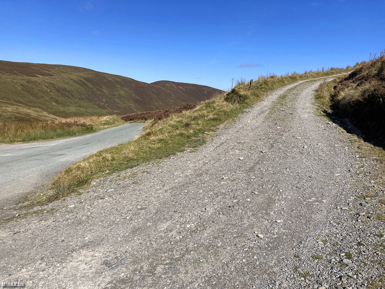
I parked on the verge of the mountain pass road near Pen Bryn-y-fawnog. There is space for three or four cars here. A gravel track heads north east from the parking area towards the summit.
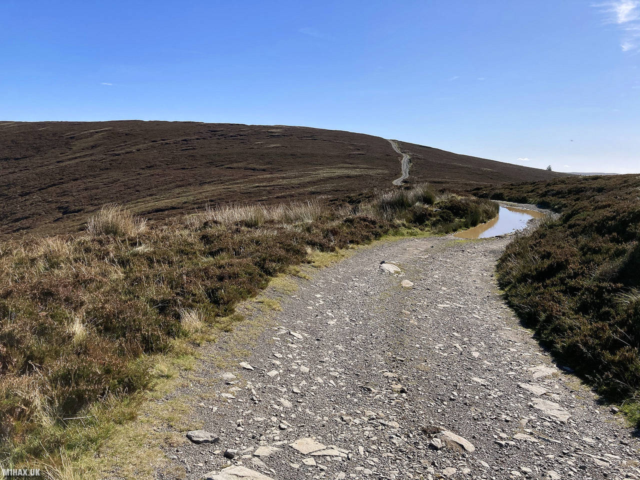
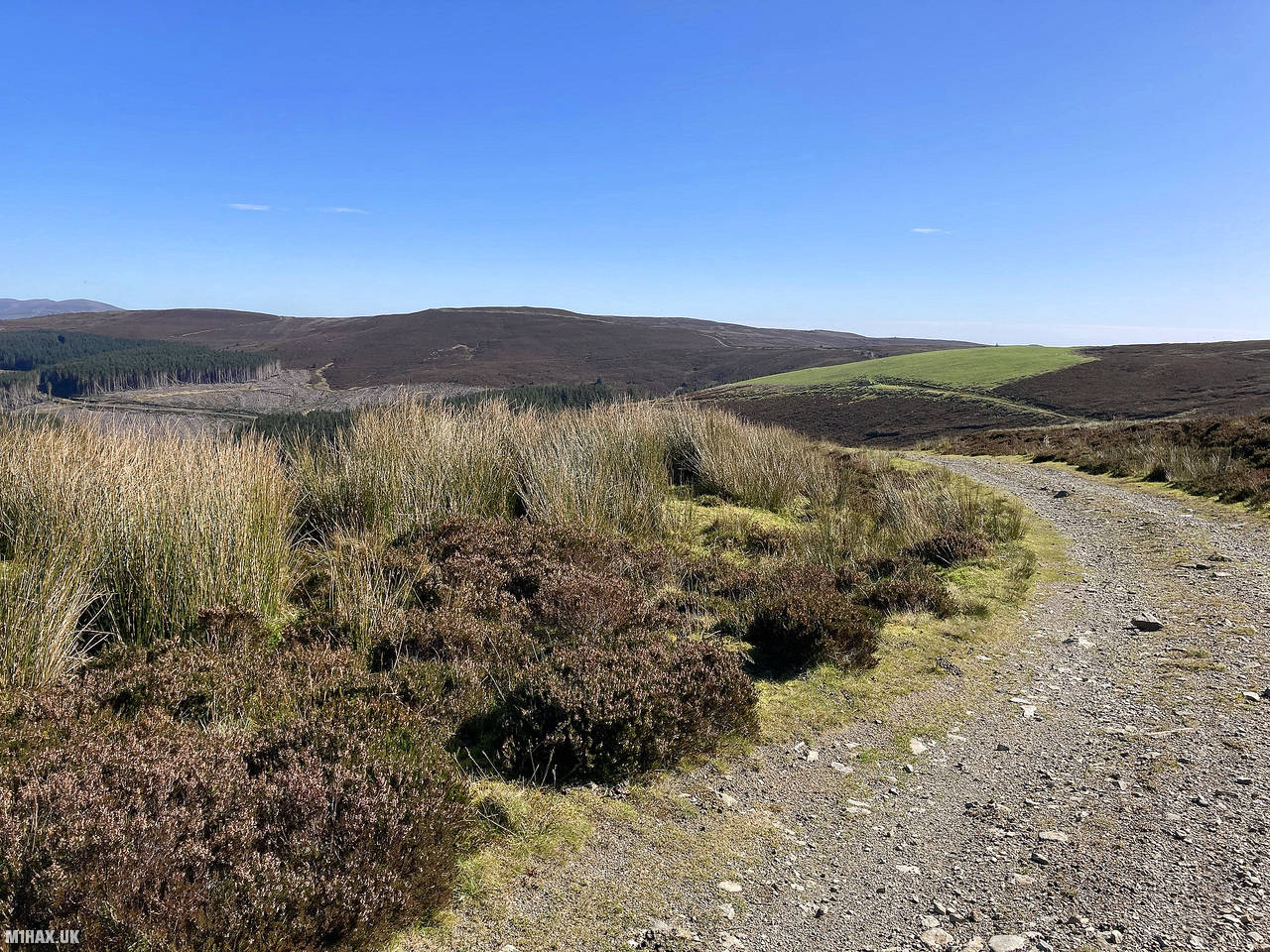
The good quality track undulates its way all the way to the activation zone. If there was ever a Summits on the Air hill which I would undertake using a bicycle, this is probably it.
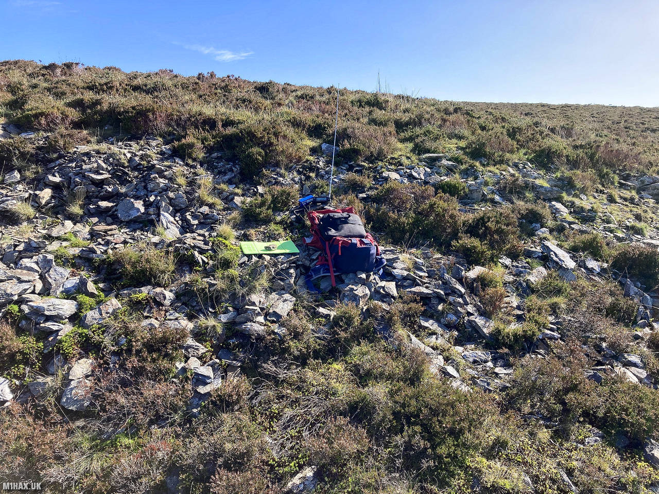
After following the track for about 5km I was inside the SOTA activation zone for Foel Cedig and opted to skip the extra 2km of walking to the true summit across the peat hags.
I set up my Yaesu radio near the track and proceeded to work a number of stations from four different regions on 2-metres. It was then a case of simply turning around and following the track back to the car.
This summit was memorable to me because as I left the parking area and drove south, I was stopped to find a cyclist lying in the road with a broken pelvis - a story for another day.
Photos
Below are some photographs taken during my activation of Foel Cedig on Sunday 27th September, 2020.


Walking Route for Foel Cedig
The interactive map below shows my GPS track taken to the SOTA activation zone for Foel Cedig. The GW/NW-034 summit area is marked on the map with a blue pin icon.
You can download the route shown above as a GPX file suitable for use with most GPS devices. This file is provided for information only, to support your own walk planning and research (it may contain navigation errors, detours and/or safety hazards). The route downloads provided here are governed by the Creative Commons BY-NC-SA 4.0 licence.
Station Log
I logged the following 14 amateur radio contacts operating as MW1HAX/P from GW/NW-034 Foel Cedig on Sunday 27th September, 2020 (all times shown are UTC):
| Time | Callsign | Band | Mode | Notes |
|---|---|---|---|---|
| 11:59 | M6KIO/P | 2m | FM | Dom, 5/5 |
| 12:00 | GW4ZPL | 2m | FM | John, 5/9 |
| 12:01 | MW0OFA | 2m | FM | Frank, 5/9 |
| 12:02 | GW4ZHI | 2m | FM | Bryn, 5/4 |
| 12:03 | MW0UPH | 2m | FM | Aled, 5/7 |
| 12:04 | MW0JWP | 2m | FM | John, 5/9 |
| 12:05 | 2W0FNA | 2m | FM | Karl, 5/7 |
| 12:07 | GW0JAI | 2m | FM | Glyn, 5/9 |
| 12:10 | MW7AUU | 2m | FM | Martin, 5/6 |
| 12:11 | GW4XXF | 2m | FM | Bruce, 5/7 |
| 12:13 | EI6KO | 2m | FM | Albert, 2/1 |
| 12:13 | GD4SVD | 2m | FM | Tony, 5/5 |
| 12:17 | MW0BUQ | 2m | FM | Dave, 5/3 |
| 12:18 | MW7ROY | 2m | FM | Don, 5/8 |
In the notes field I will usually log the other operator’s name and the signal report they provided. In accordance with the Summits on the Air rules, I do not make a log entry where a complete exchange of callsigns and signal reports was unsuccessful.
Additional Information
The following resources may be helpful to walkers, mountaineers and SOTA activators interested in Foel Cedig:
- Sotl.as Summit Page for GW/NW-034 Foel Cedig.
- Hill Bagging UK Summit Page for Foel Cedig.
- Google Maps Page for Foel Cedig.
- Wikipedia entry for Foel Cedig.
- 360° Panorama near summit of GW/NW-034 Foel Cedig.
If you found this content valuable, why not Buy Me a Coffee?