Moel Gyw - GW/NW-053 SOTA (2020)

Summits on the Air Activation Report
Activation Date: Wednesday 23rd September, 2020.
Activator(s): Richard M1HAX.
Summit: Moel Gyw, North Wales, Wales.
Summit ID: SOTA reference GW/NW-053 (1 point).
Summit Height: 467m elevation, 181m prominence.
Summit Location: Lat./Long. 53.10864, -3.23908. Maidenhead Grid IO83jc.
Distance: 4.5km travelled with 228m of ascent.
Difficulty: SAC Grade T1.(?)
Elapsed Time: 1hr 20m (including operating).
Weather: Feels like 12.2°C, 13 kph NNW wind, 94% humidity.
Radio Equipment: Yaesu FTM100D, MFJ-1714, Zippy 4200mAh 4S LiFePo4.
Callsign Used: MW1HAX/P.
Contacts: 19 (2m FM).
Trip Notes
Moel Gyw, located in Denbighshire, North Wales, is an integral part of the Clwydian Range. It is positioned to the south of Moel Famau and Foel Fenlli.
I parked in the disused car park by the derelict motel on the A494 to the north of the mountain. I also spotted a large layby to the northwest as an alternative option.
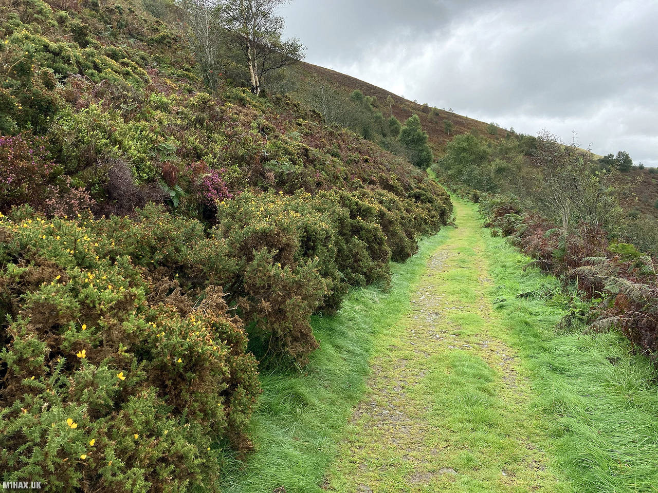
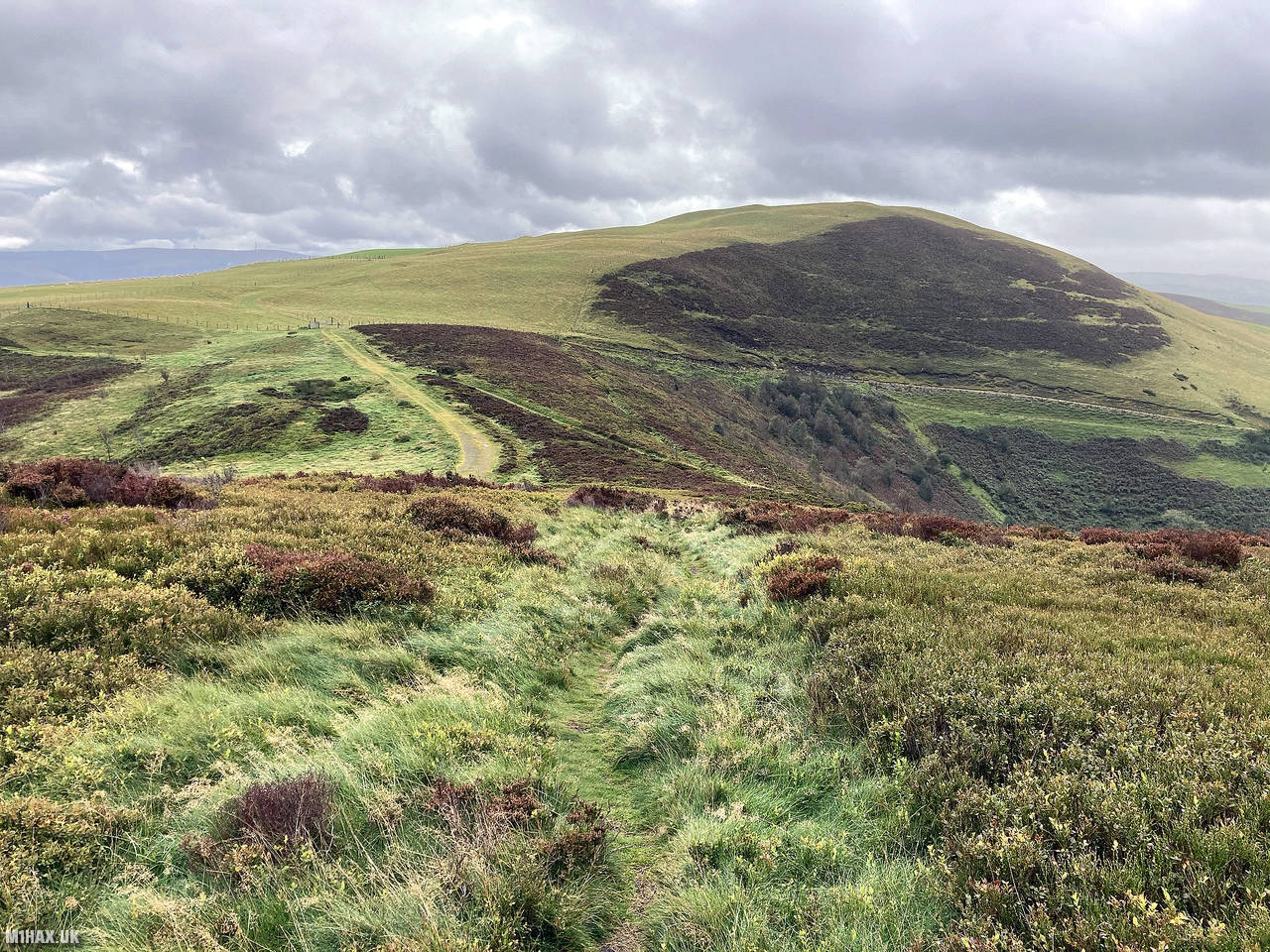
I followed the road to the south west of the car park which quickly picks up an obvious grassy path towards the mountain. The path continues south alongside the summit before turning back north to complete the climb to the top.
Despite light rain throughout the walk, I found the route to be easy going, taking me about 30 minutes or so to arrive at the trig point.
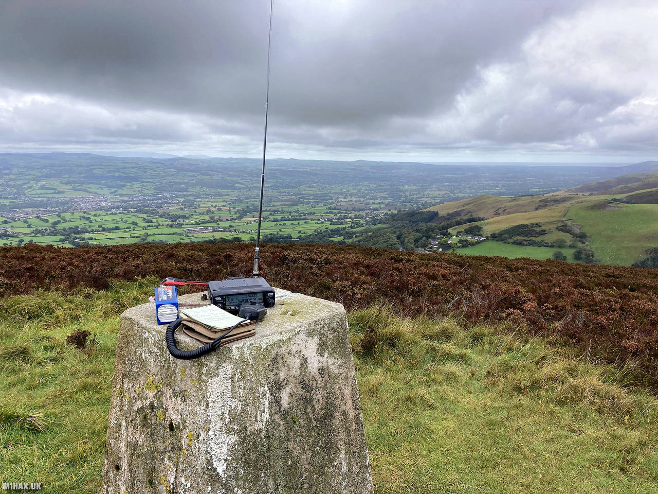
I set up my VHF radio station atop the trig point and operated for nearly half an hour. I worked a good selection of UK stations including James M0JCQ/P (of hamblog.co.uk) on the summit of Skiddaw in the Lake District.
After the pileup dissipated I packed away my equipment and retraced my steps back to the car.
Photos
Below are some photographs taken during my activation of Moel Gyw on Wednesday 23rd September, 2020.


Walking Route for Moel Gyw
The interactive map below shows my GPS track taken to the SOTA activation zone for Moel Gyw. The GW/NW-053 summit area is marked on the map with a blue pin icon.
You can download the route shown above as a GPX file suitable for use with most GPS devices. This file is provided for information only, to support your own walk planning and research (it may contain navigation errors, detours and/or safety hazards). The route downloads provided here are governed by the Creative Commons BY-NC-SA 4.0 licence.
Station Log
I logged the following 19 amateur radio contacts operating as MW1HAX/P from GW/NW-053 Moel Gyw on Wednesday 23rd September, 2020 (all times shown are UTC):
| Time | Callsign | Band | Mode | Notes |
|---|---|---|---|---|
| 11:27 | 2E0XYL | 2m | FM | Karen, 5/9 |
| 11:29 | MW0UPH/M | 2m | FM | Aled, 5/9 |
| 11:30 | G4KRN | 2m | FM | Alan, 5/9 |
| 11:32 | G3TQQ/P | 2m | FM | Dave, 5/9, S2S G/NP-010 |
| 11:33 | G4OEE/P | 2m | FM | Nick, 5/9 |
| 11:42 | M0JCQ/P | 2m | FM | James, 5/2, S2S G/LD-004 |
| 11:44 | G0EVV/P | 2m | FM | David, 5/9, S2S G/LD-013 |
| 11:45 | M0KPW/P | 2m | FM | Chris, 5/9, S2S G/LD-049 |
| 11:45 | G0UXC | 2m | FM | Peter, 5/9 |
| 11:46 | G4ZRP | 2m | FM | Brian, 5/9 |
| 11:46 | G0MHF | 2m | FM | John, 5/7 |
| 11:47 | M7OMT | 2m | FM | Mateusz, 5/7 |
| 11:48 | G8TSE | 2m | FM | Robert, 5/8 |
| 11:50 | M0OAU/M | 2m | FM | Lee, 5/5 |
| 11:51 | G0LWU | 2m | FM | Andrew, 5/4 |
| 11:51 | GW4VPX | 2m | FM | Allan, 5/1 |
| 11:51 | G0MHF | 2m | FM | John, 5/7 |
| 11:52 | G7UZA | 2m | FM | John, 5/7 |
| 11:53 | GW6EWX | 2m | FM | Nick, 5/9 |
In the notes field I will usually log the other operator’s name and the signal report they provided. In accordance with the Summits on the Air rules, I do not make a log entry where a complete exchange of callsigns and signal reports was unsuccessful.
Additional Information
The following resources may be helpful to walkers, mountaineers and SOTA activators interested in Moel Gyw:
- Sotl.as Summit Page for GW/NW-053 Moel Gyw.
- Hill Bagging UK Summit Page for Moel Gyw.
- Google Maps Page for Moel Gyw.
- Wikipedia entry for Moel Gyw.
If you found this content valuable, why not Buy Me a Coffee?