Fairfield - G/LD-007 SOTA (2020)

Summits on the Air Activation Report
Activation Date: Saturday 17th October, 2020.
Activator(s): Richard M1HAX.
Summit: Fairfield, Lake District, England.
Summit ID: SOTA reference G/LD-007 (8 points).
Summit Height: 873m elevation, 300m prominence.
Summit Location: Lat./Long. 54.49705, -2.99165. Maidenhead Grid IO84ml.
Also Activated: G/LD-003, G/LD-010, G/LD-022.
Distance: 20.2km travelled with 1637m of ascent.
Difficulty: SAC Grade T2.(?)
Elapsed Time: 8hr 25m (incl. operating and other summit(s) on the same hike).
Weather: Feels like 5.0°C, 9 kph NNW wind, 95% humidity.
Radio Equipment: Yaesu FTM100D, MFJ-1714, Zippy 4200mAh 4S LiFePo4.
Callsign Used: M1HAX/P.
Contacts: 23 (2m FM).
Trip Notes
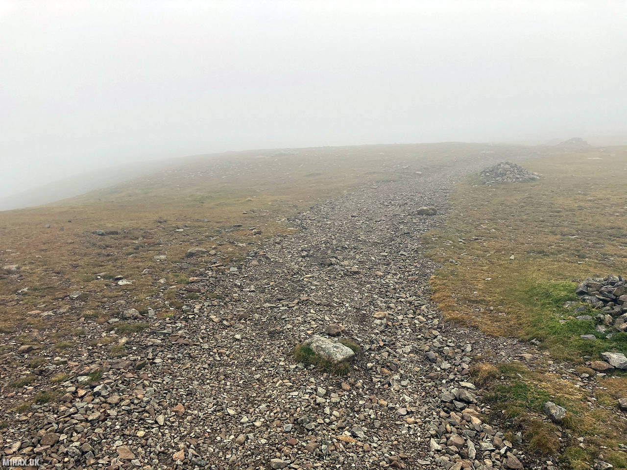
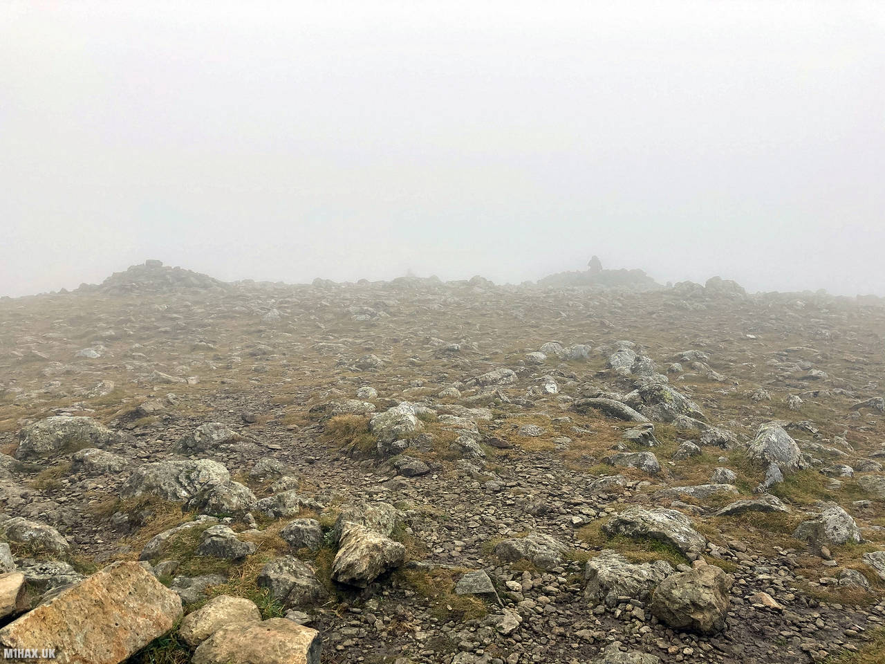
Fairfield is a prominent peak in the Eastern Fells of the English Lake District, and it’s the highest among a cluster of hills south of the Helvellyn range. Its summit is a flat, stony plateau with numerous cairns and windbreaks. While the views from the summit are impressive, guidebooks caution hikers about potential mist-related navigation challenges with the presence of cliffs to the north and west.
In this ascent of Fairfield, I started my route to the summit from the neighbouring Seat Sandal.
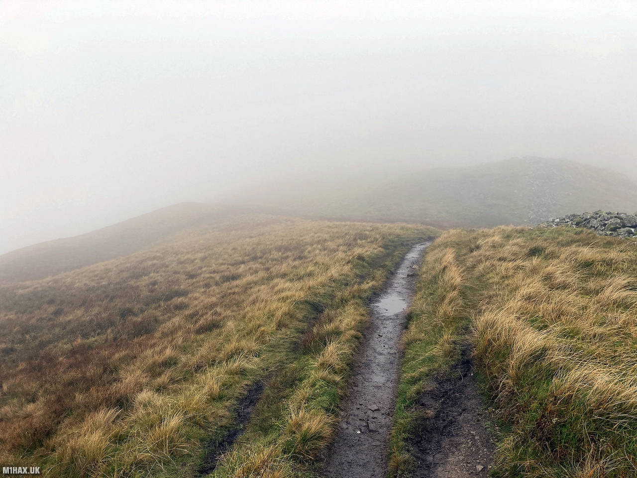
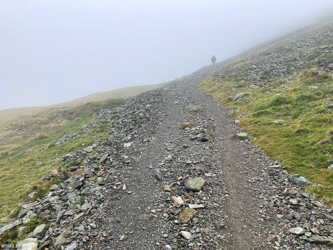
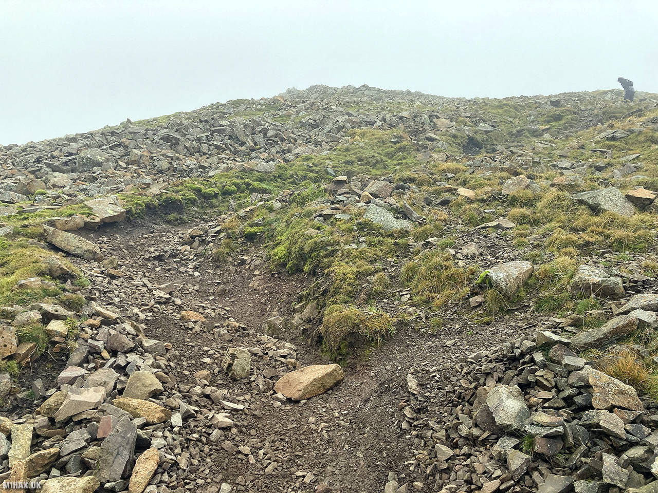
The path descending east from Seat Sandal drops down to about 590 metres ASL at Hause Gap. From here I followed the scree slope track rising almost 300 vertical metres all the way up to the summit of Fairfield.
The weather continued to be less than ideal with low cloud obscuring the view for all of this leg of the walk. After about a total of 2km covered from Seat Sandal I arrived at the rocky summit plateau of Fairfield.
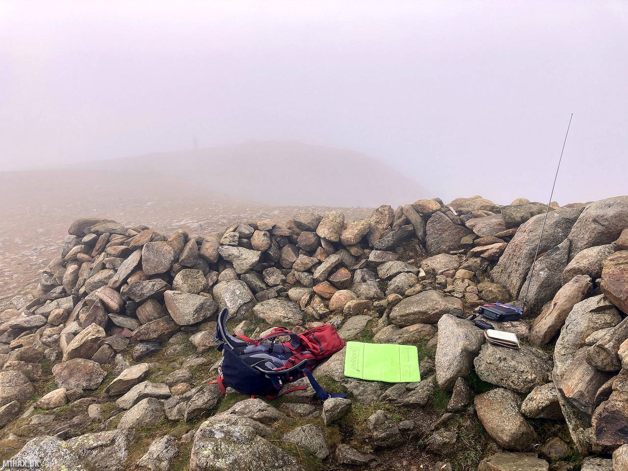
Selecting one of the various stone shelters at the summit, I set up my radio and operated on the two-metre band for almost half an hour. I worked a number of familiar chaser stations including another summit-to-summit with Andy M0DCD/P who was still on the summit of Whernside.
Once I had spoken with everybody I could hear on the radio, I packed away the station and prepared to push on to the final summit of the circuit, St Sunday Crag.
Photos
Below are some photographs taken during my activation of Fairfield on Saturday 17th October, 2020.


Walking Route for Fairfield
The interactive map below shows my GPS track taken to the SOTA activation zone for Fairfield. Note that this summit was activated as part of a multi-summit hike and the map below shows the full route taken on the day. The G/LD-007 summit area is marked on the map with a blue pin icon.
You can download the route shown above as a GPX file suitable for use with most GPS devices. This file is provided for information only, to support your own walk planning and research (it may contain navigation errors, detours and/or safety hazards). The route downloads provided here are governed by the Creative Commons BY-NC-SA 4.0 licence.
Station Log
I logged the following 23 amateur radio contacts operating as M1HAX/P from G/LD-007 Fairfield on Saturday 17th October, 2020 (all times shown are UTC):
| Time | Callsign | Band | Mode | Notes |
|---|---|---|---|---|
| 12:36 | G7CDA | 2m | FM | Douggie, 5/9 |
| 12:36 | G6LKB | 2m | FM | David, 5/9 |
| 12:36 | G1OHH | 2m | FM | Sue, 5/9 |
| 12:37 | G0TDM | 2m | FM | John, 5/9 |
| 12:37 | M7AXI | 2m | FM | Mal, 5/9 |
| 12:38 | 2E0LBI | 2m | FM | Les, 5/9 |
| 12:38 | 2E0XYL | 2m | FM | Karen, 5/1 |
| 12:39 | M7XUP | 2m | FM | Steve, 5/9 |
| 12:40 | GM4WHA | 2m | FM | Geoff, 4/2 |
| 12:40 | M1SPY | 2m | FM | Steve, 4/2 |
| 12:41 | M6MOS | 2m | FM | Malcolm, 5/9 |
| 12:43 | G4OBK | 2m | FM | Phil, 5/3 |
| 12:45 | M0DCD/P | 2m | FM | Andy, 5/9, S2S G/NP-004 |
| 12:47 | G1PIE | 2m | FM | Mark, 5/9 |
| 12:48 | GW4ZPL | 2m | FM | John, 5/5 |
| 12:49 | G8YDC | 2m | FM | John, 5/3 |
| 12:50 | M1DYU | 2m | FM | Gary, 5/7 |
| 12:51 | G3PSB/P | 2m | FM | Phil, 4/4 |
| 12:51 | GM1VLA | 2m | FM | Tony, 5/9 |
| 12:52 | G0LWU | 2m | FM | Andrew, 5/9 |
| 12:55 | M7MCG | 2m | FM | Mick, 5/7 |
| 12:56 | G0MHF | 2m | FM | John, 5/7 |
| 12:58 | MW0RSV | 2m | FM | Graham, 5/7 |
In the notes field I will usually log the other operator’s name and the signal report they provided. In accordance with the Summits on the Air rules, I do not make a log entry where a complete exchange of callsigns and signal reports was unsuccessful.
Additional Information
The following resources may be helpful to walkers, mountaineers and SOTA activators interested in Fairfield:
- Sotl.as Summit Page for G/LD-007 Fairfield.
- Hill Bagging UK Summit Page for Fairfield.
- Google Maps Page for Fairfield.
- Wikipedia entry for Fairfield.
- 360° Panorama near summit of G/LD-007 Fairfield.
If you found this content valuable, why not Buy Me a Coffee?