Great Gable - G/LD-005 SOTA (2020)

Summits on the Air Activation Report
Activation Date: Saturday 10th October, 2020.
Activator(s): Richard M1HAX.
Summit: Great Gable, Lake District, England.
Summit ID: SOTA reference G/LD-005 (8 points).
Summit Height: 899m elevation, 425m prominence.
Summit Location: Lat./Long. 54.48208, -3.21930. Maidenhead Grid IO84jl.
Also Activated: G/LD-006, G/LD-014.
Distance: 16.5km travelled with 1458m of ascent.
Difficulty: SAC Grade T2.(?)
Elapsed Time: 7hr 25m (incl. operating and other summit(s) on the same hike).
Weather: Feels like 8.9°C, 9 kph WNW wind, 92% humidity.
Radio Equipment: Yaesu FTM100D, MFJ-1714, Zippy 4200mAh 4S LiFePo4.
Callsign Used: M1HAX/P.
Contacts: 19 (2m FM).
Trip Notes
Great Gable is a mountain in the Lake District, United Kingdom, that is named after its appearance as a pyramid from Wasdale, though it is dome-shaped from most other directions. It is one of the most popular of the Lakeland fells, and there are many different routes to the summit.
For this walk, I would start at the car park at Wasdale Head, and complete a circuit which summits Great Gable, Kirk Fell and finally Pillar before returning to the car. This is a challenging walking route but one that is well worth the effort.
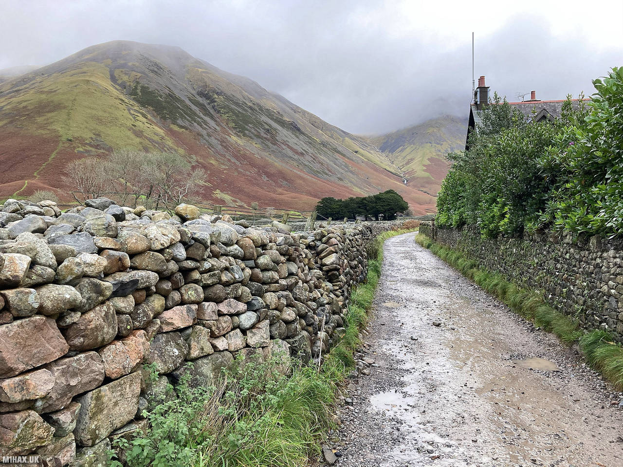
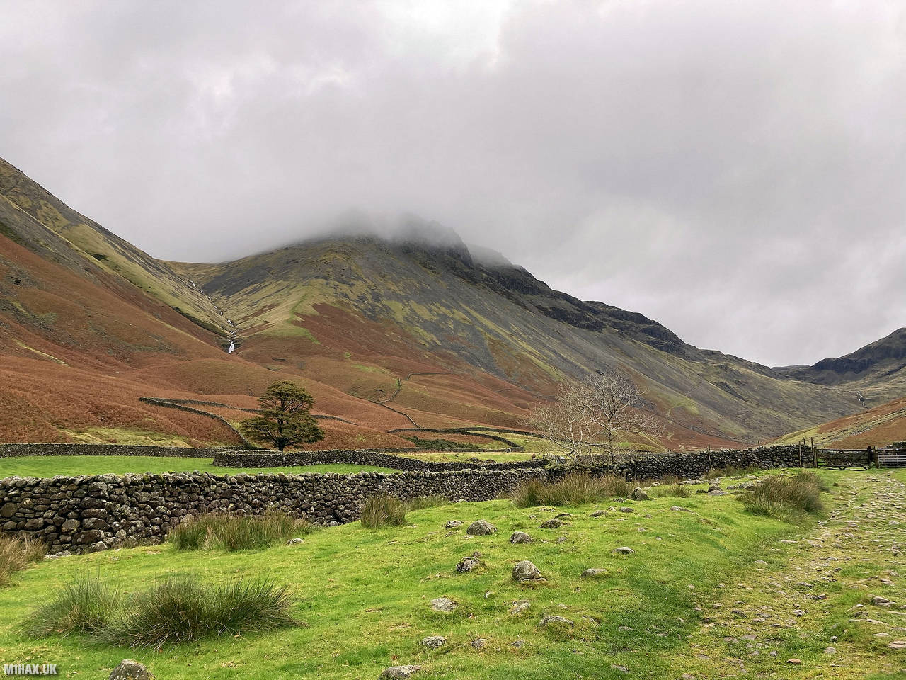
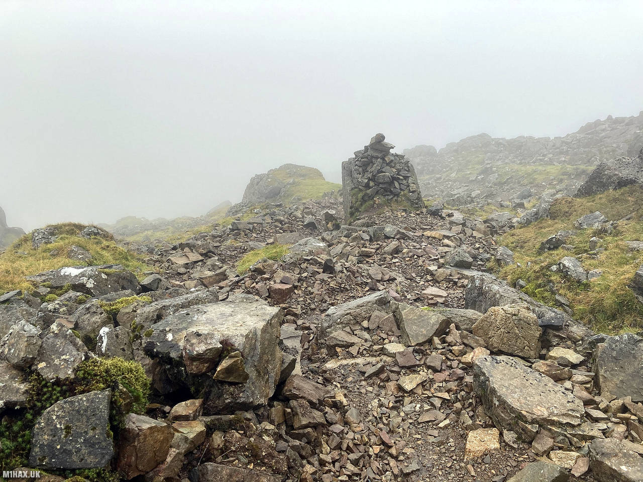
The route starts by heading north east away from the car along a farm track, before following a rocky trail from Gavel Neese towards Beck Head. This steady climb leads up towards a col between Kirk Fell and Great Gable. I then turned south east at a path junction to then complete the final ascent to Great Gable.
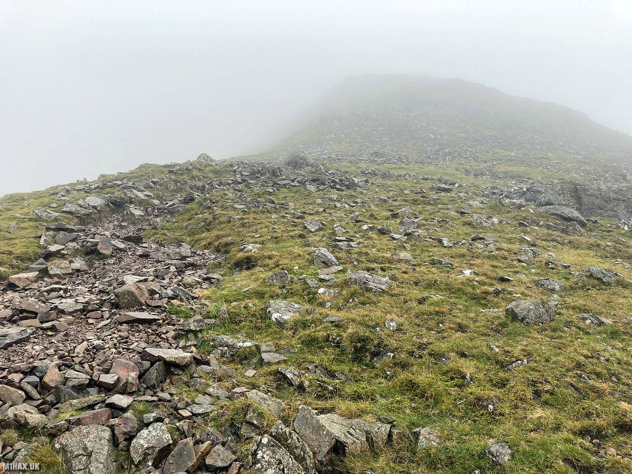
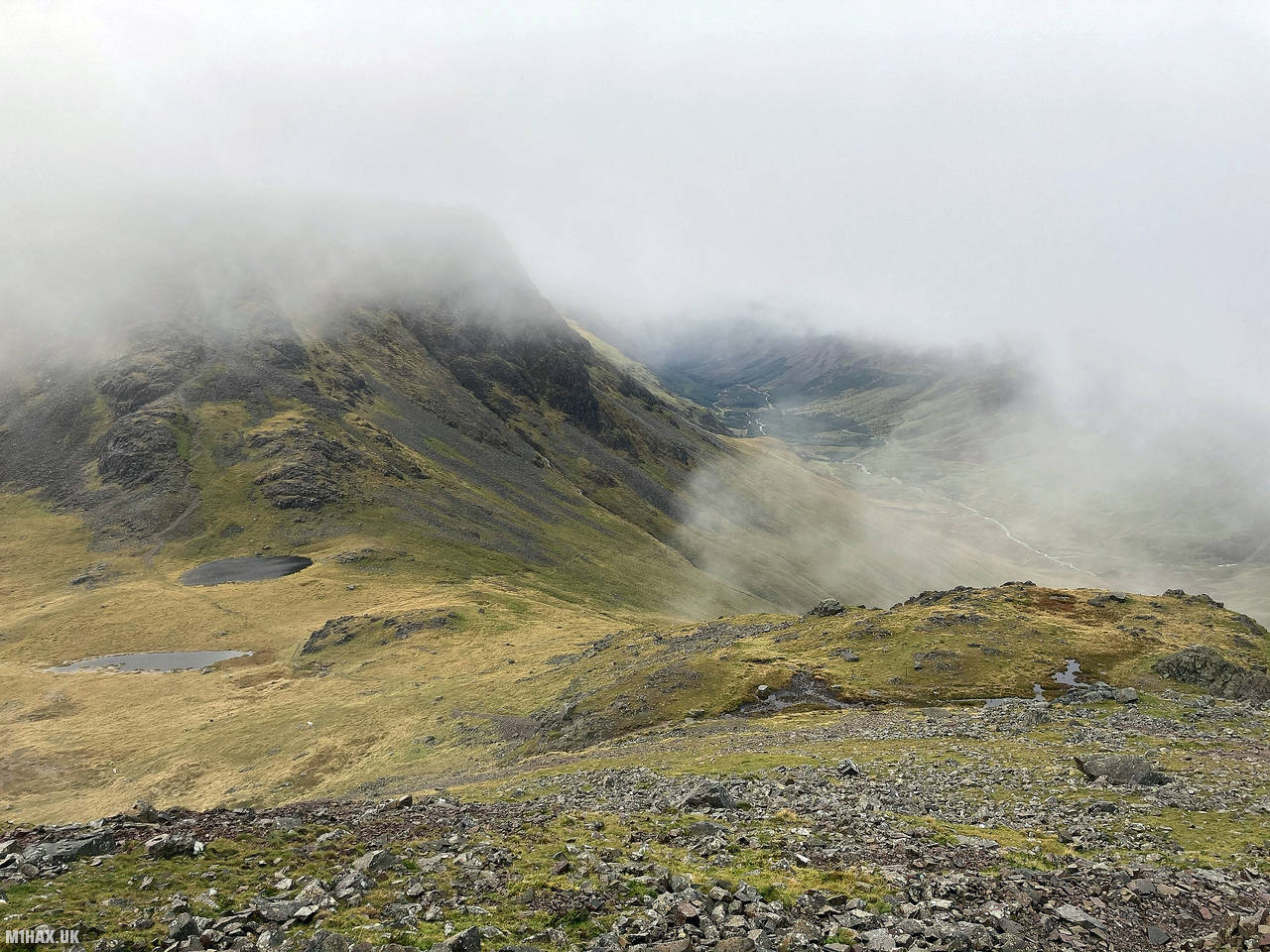
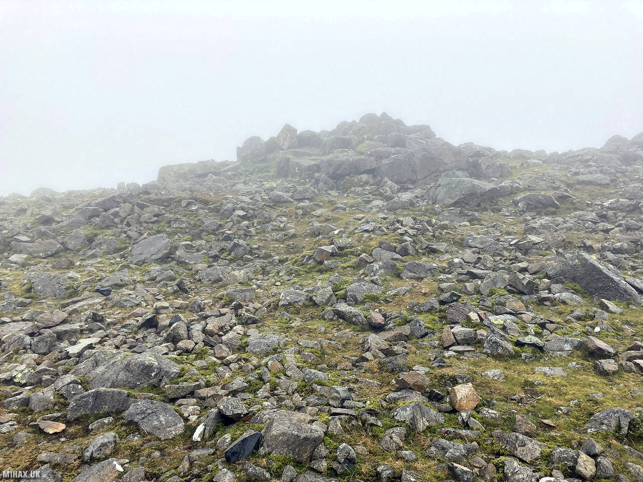
As I progressed towards the summit there were fine views back down in to the col when there was a break in the clouds. The terrain under foot was slippery rock.
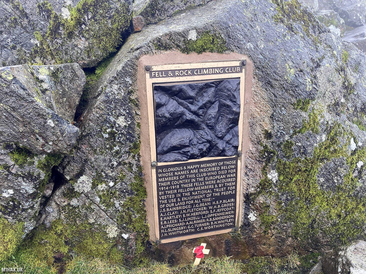
At the summit there is the Fell and Rock Climbing Club WW1 memorial. I set up my VHF radio nearby and worked a good pileup of Summits on the Air chasers on the 2-metre band.
After I had packed away the radio I descended back towards the col before continuing onwards to Kirk Fell.
Photos
Below are some photographs taken during my activation of Great Gable on Saturday 10th October, 2020.


Walking Route for Great Gable
The interactive map below shows my GPS track taken to the SOTA activation zone for Great Gable. Note that this summit was activated as part of a multi-summit hike and the map below shows the full route taken on the day. The G/LD-005 summit area is marked on the map with a blue pin icon.
You can download the route shown above as a GPX file suitable for use with most GPS devices. This file is provided for information only, to support your own walk planning and research (it may contain navigation errors, detours and/or safety hazards). The route downloads provided here are governed by the Creative Commons BY-NC-SA 4.0 licence.
Station Log
I logged the following 19 amateur radio contacts operating as M1HAX/P from G/LD-005 Great Gable on Saturday 10th October, 2020 (all times shown are UTC):
| Time | Callsign | Band | Mode | Notes |
|---|---|---|---|---|
| 09:35 | M7BCE | 2m | FM | Daniel, 5/9 |
| 09:36 | 2E0XLG/M | 2m | FM | Chris, 5/9 |
| 09:37 | GW4ZPL | 2m | FM | John, 5/9 |
| 09:37 | M0DXT | 2m | FM | Bill, 5/9 |
| 09:38 | GM4WHA | 2m | FM | Geoff, 5/8 |
| 09:39 | MW3VQJ | 2m | FM | Graham, 5/8 |
| 09:39 | G0TDM | 2m | FM | John, 5/6 |
| 09:40 | G0MHF | 2m | FM | John, 5/9 |
| 09:41 | 2E0OMB | 2m | FM | Matthew, 5/9, S2S G/LD-025 |
| 09:42 | 2E0IKM | 2m | FM | Mike, 5/7 |
| 09:43 | G0LWU | 2m | FM | Andrew, 5/9 |
| 09:44 | M0TRI | 2m | FM | Andrew, 5/5 |
| 09:44 | G6LKB | 2m | FM | David, 5/9 |
| 09:45 | G7CDA | 2m | FM | Douggie, 5/6 |
| 09:45 | 2E0VRX | 2m | FM | Craig, 5/7 |
| 09:45 | M6MOS | 2m | FM | Malcolm, 5/9 |
| 09:46 | G4JNN | 2m | FM | Paul, 5/8 |
| 09:47 | G1JYB | 2m | FM | Baz, 5/9 |
| 09:47 | G0LWU | 2m | FM | Andrew, 5/9 |
In the notes field I will usually log the other operator’s name and the signal report they provided. In accordance with the Summits on the Air rules, I do not make a log entry where a complete exchange of callsigns and signal reports was unsuccessful.
Additional Information
The following resources may be helpful to walkers, mountaineers and SOTA activators interested in Great Gable:
- Sotl.as Summit Page for G/LD-005 Great Gable.
- Hill Bagging UK Summit Page for Great Gable.
- Google Maps Page for Great Gable.
- Wikipedia entry for Great Gable.
If you found this content valuable, why not Buy Me a Coffee?