Helvellyn - G/LD-003 SOTA (2020)

Summits on the Air Activation Report
Activation Date: Saturday 17th October, 2020.
Activator(s): Richard M1HAX.
Summit: Helvellyn, Lake District, England.
Summit ID: SOTA reference G/LD-003 (10 points).
Summit Height: 950m elevation, 713m prominence.
Summit Location: Lat./Long. 54.52700, -3.01751. Maidenhead Grid IO84lm.
Also Activated: G/LD-007, G/LD-010, G/LD-022.
Distance: 20.2km travelled with 1637m of ascent.
Difficulty: SAC Grade T3 / Grade 1 Scramble.(?)
Elapsed Time: 8hr 25m (incl. operating and other summit(s) on the same hike).
Weather: Feels like 5.0°C, 9 kph NNW wind, 95% humidity.
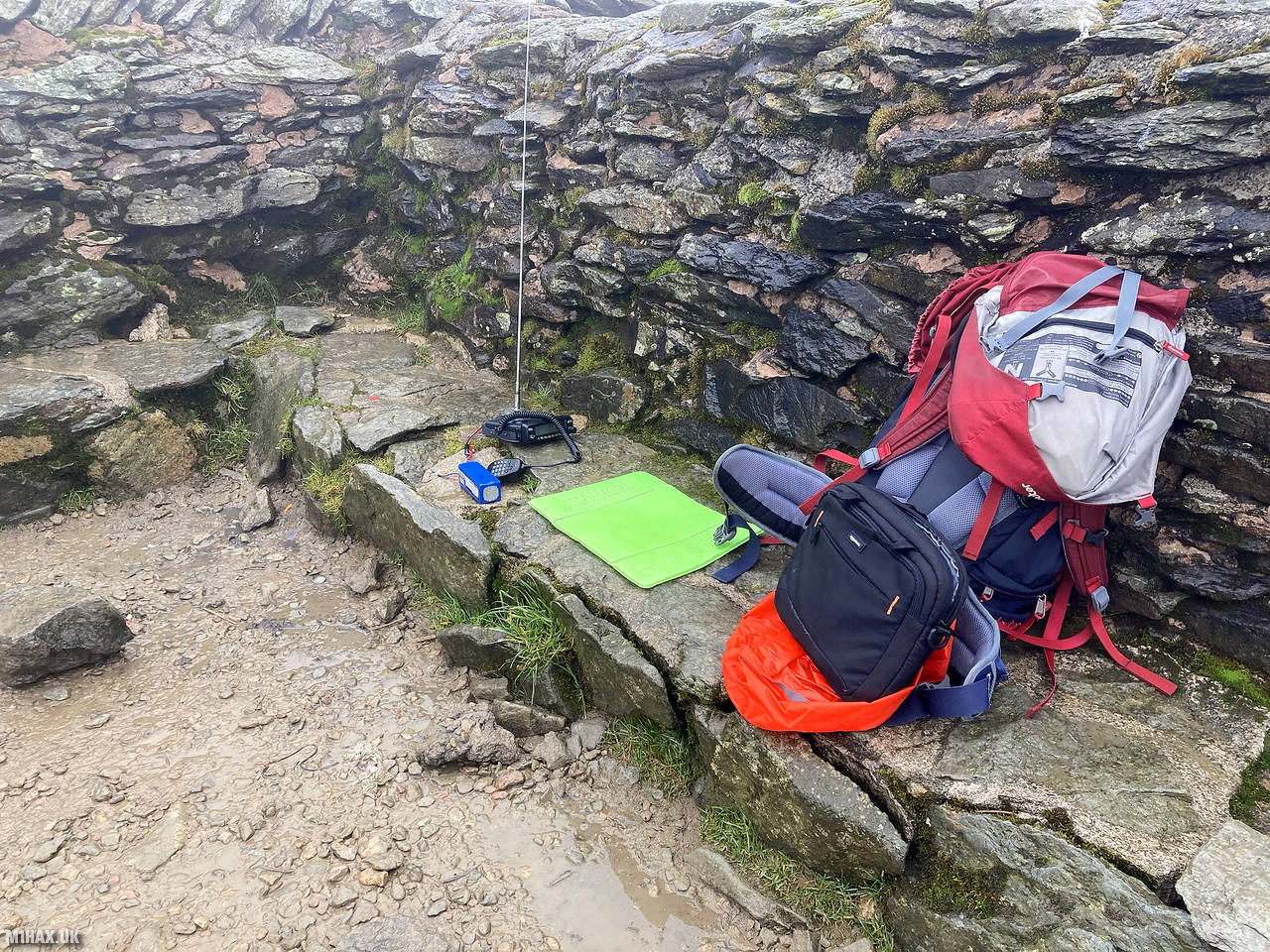
Radio Equipment: Yaesu FTM100D, MFJ-1714, Zippy 4200mAh 4S LiFePo4.
Callsign Used: M1HAX/P.
Contacts: 15 (2m FM).
Trip Notes
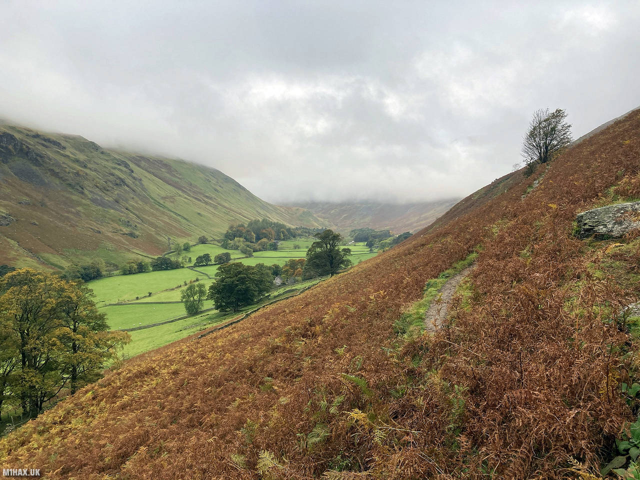
Helvellyn is the third-highest peak in England and the Lake District, located in the north of Ambleside between Thirlmere and Ullswater. It offers a stunning landscape with glacial coves and two sharp-topped ridges on the eastern side, Striding Edge and Swirral Edge. While it has a rich history of attracting early walkers and explorers, it’s not without risks, with several fatalities over the years.
This beautifully scenic circular walk starts in Patterdale where there is a reasonable sized pay and display car park by the roadside. This is a popular spot for walkers and the car park is sure to fill up early on a sunny day.
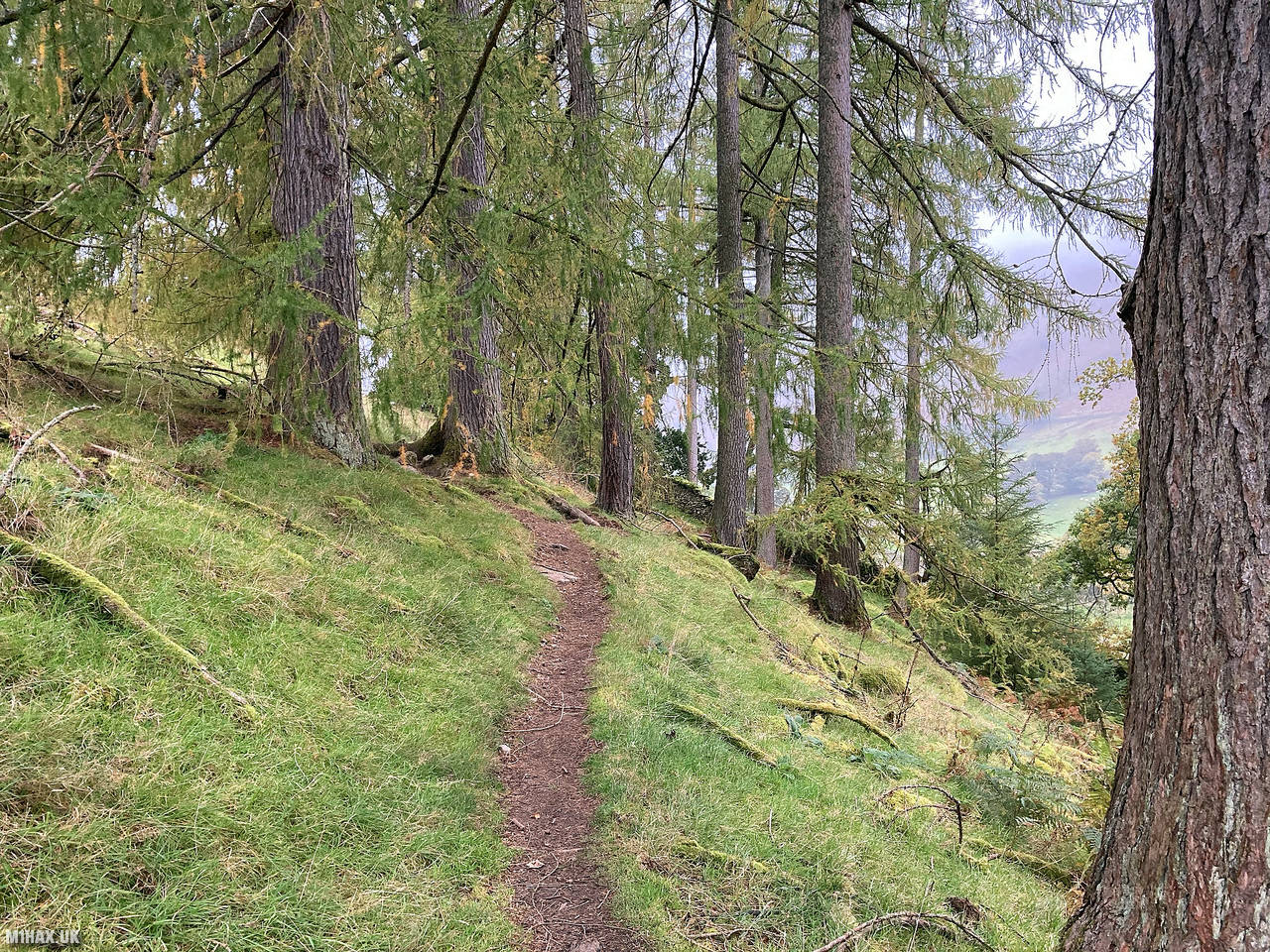
The route starts by walking through the Patterdale Hotel car park and picking up a well-established track skirting the lower slopes of Arnison Crag and Birks. The path turns north crossing through farm land towards Banklands Plantation.
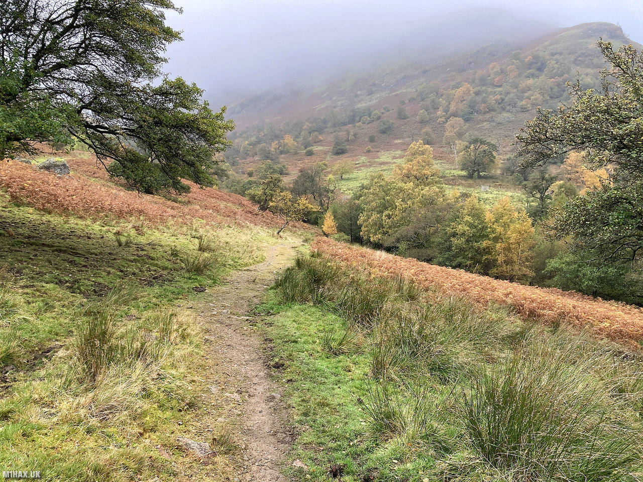
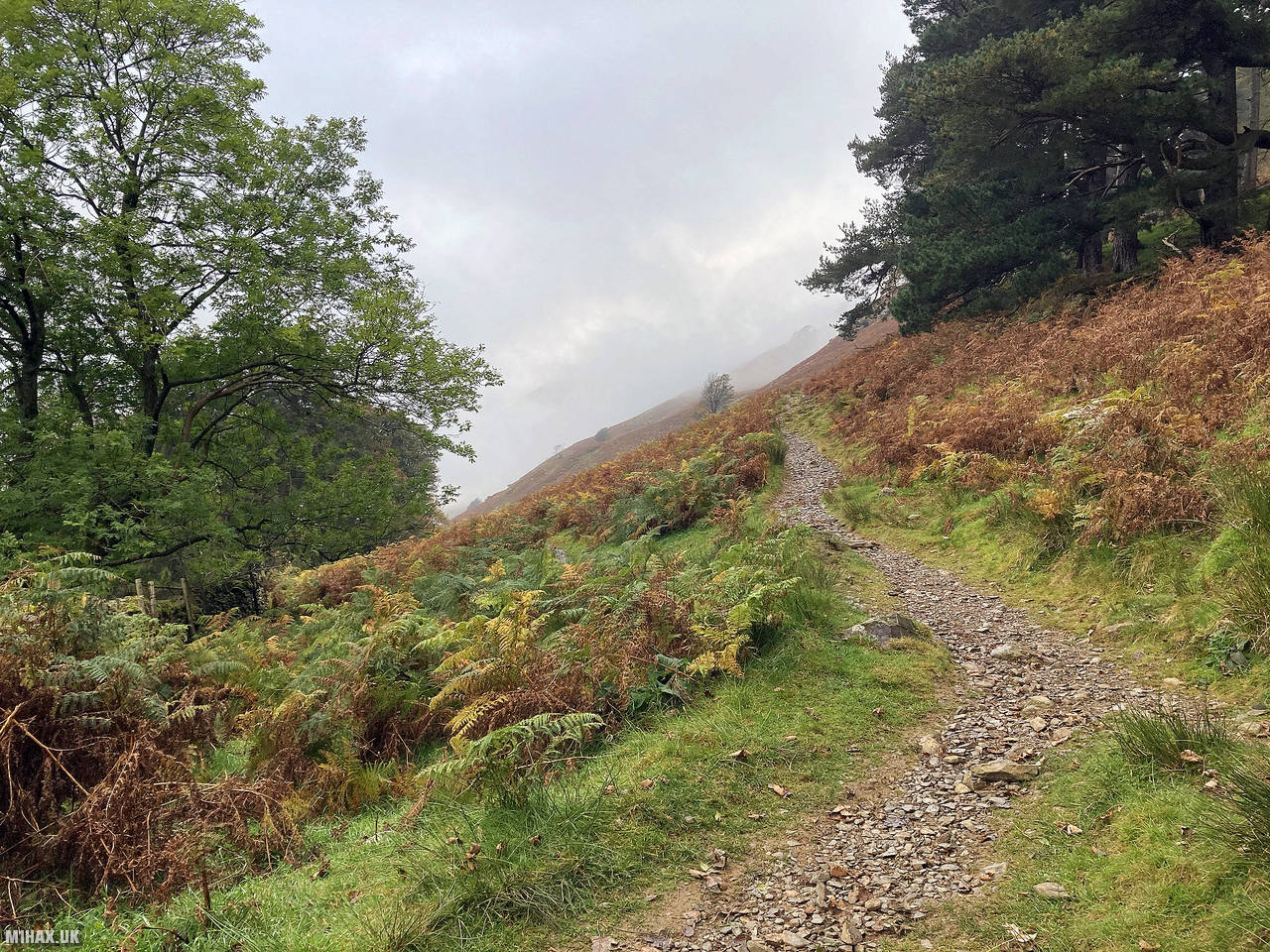
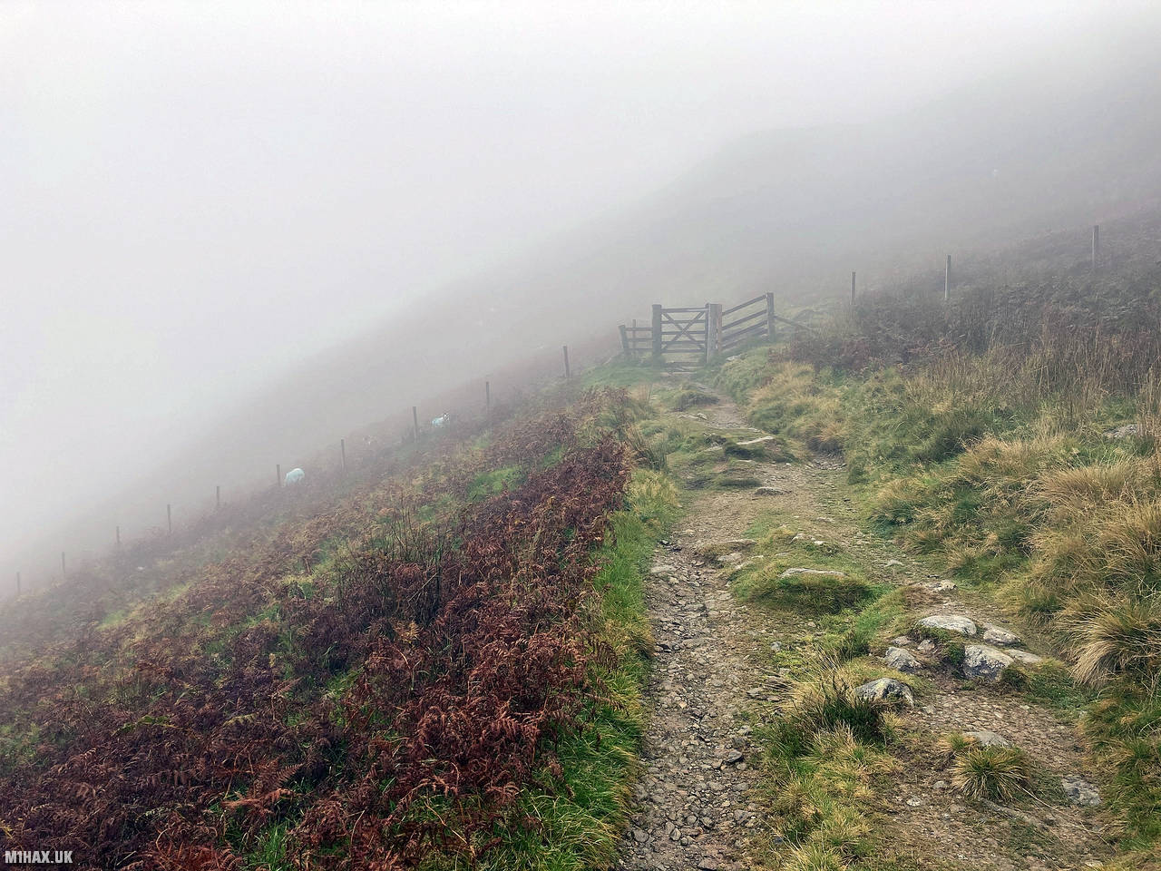
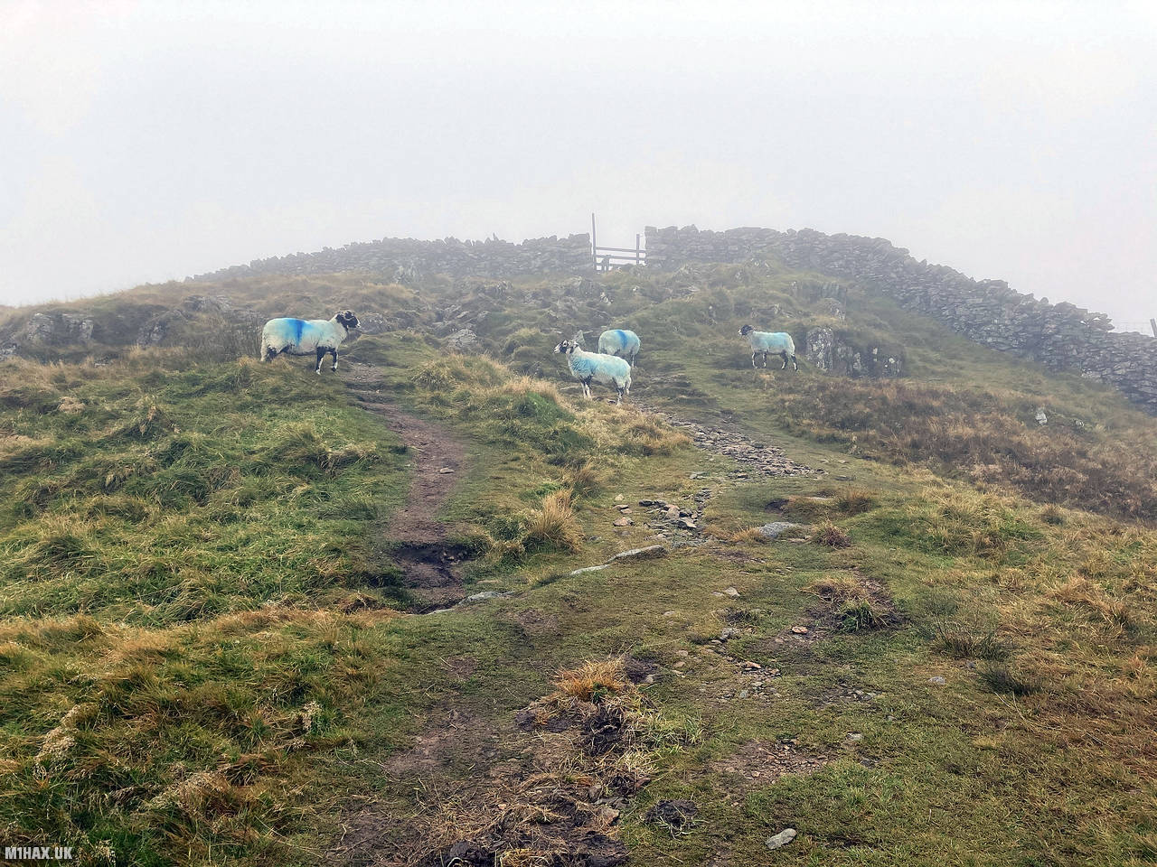
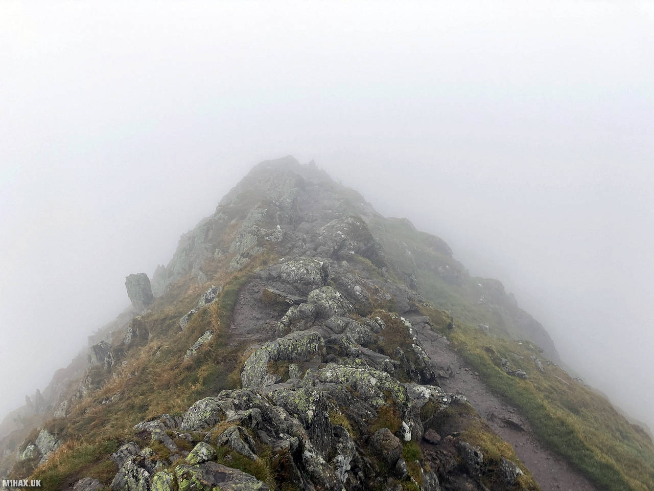
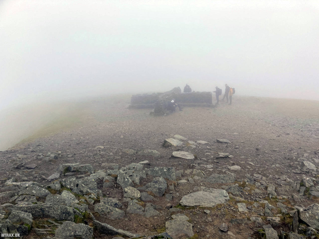
From this point a gradually rising path ascends the southern slope of Birkhouse Moor in a westerly direction. Eventually the path converges with several others at a stile marked “Hole in the Wall” on my map. The damp, misty weather meant there were limited views of the countryside.
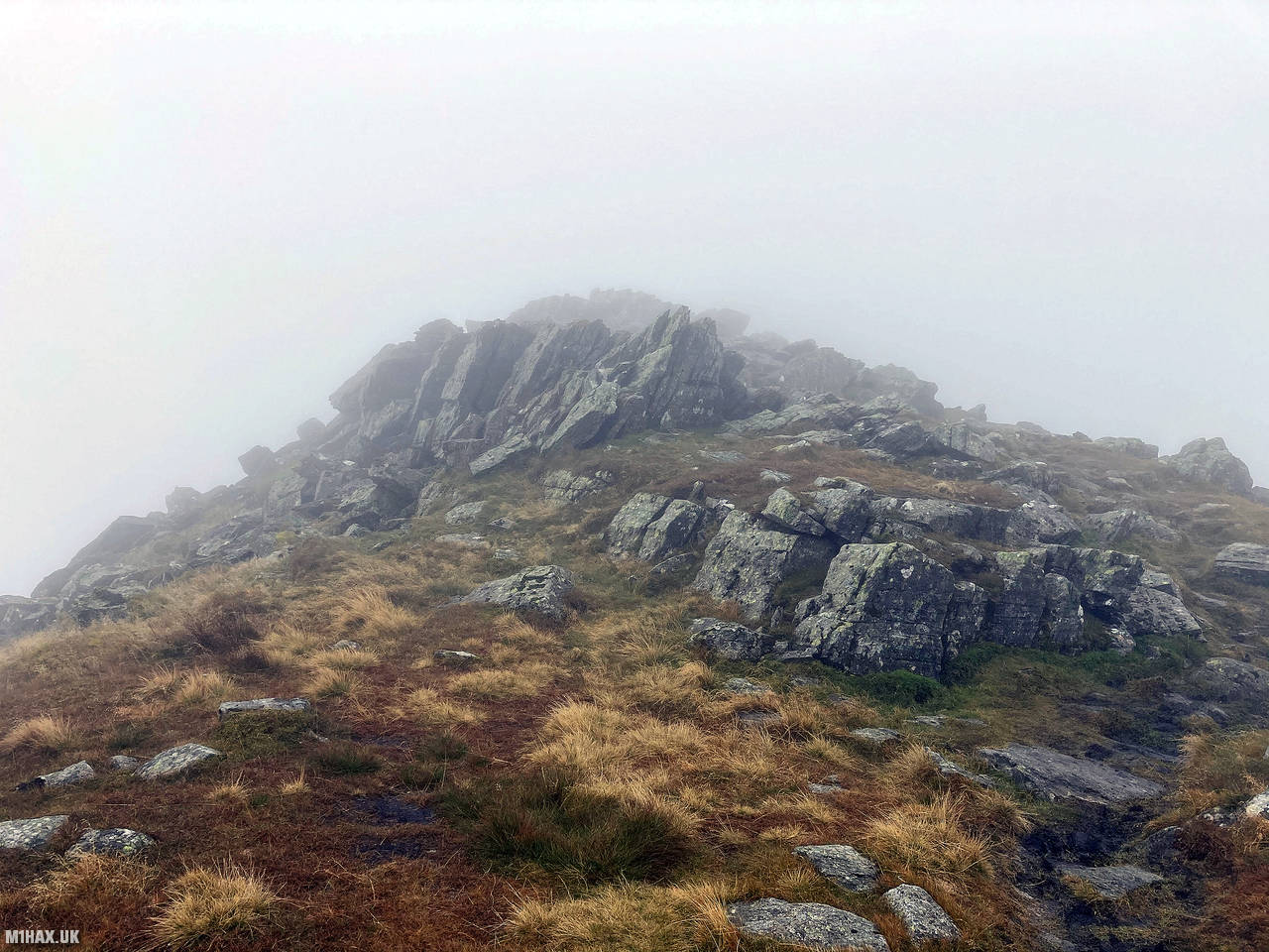
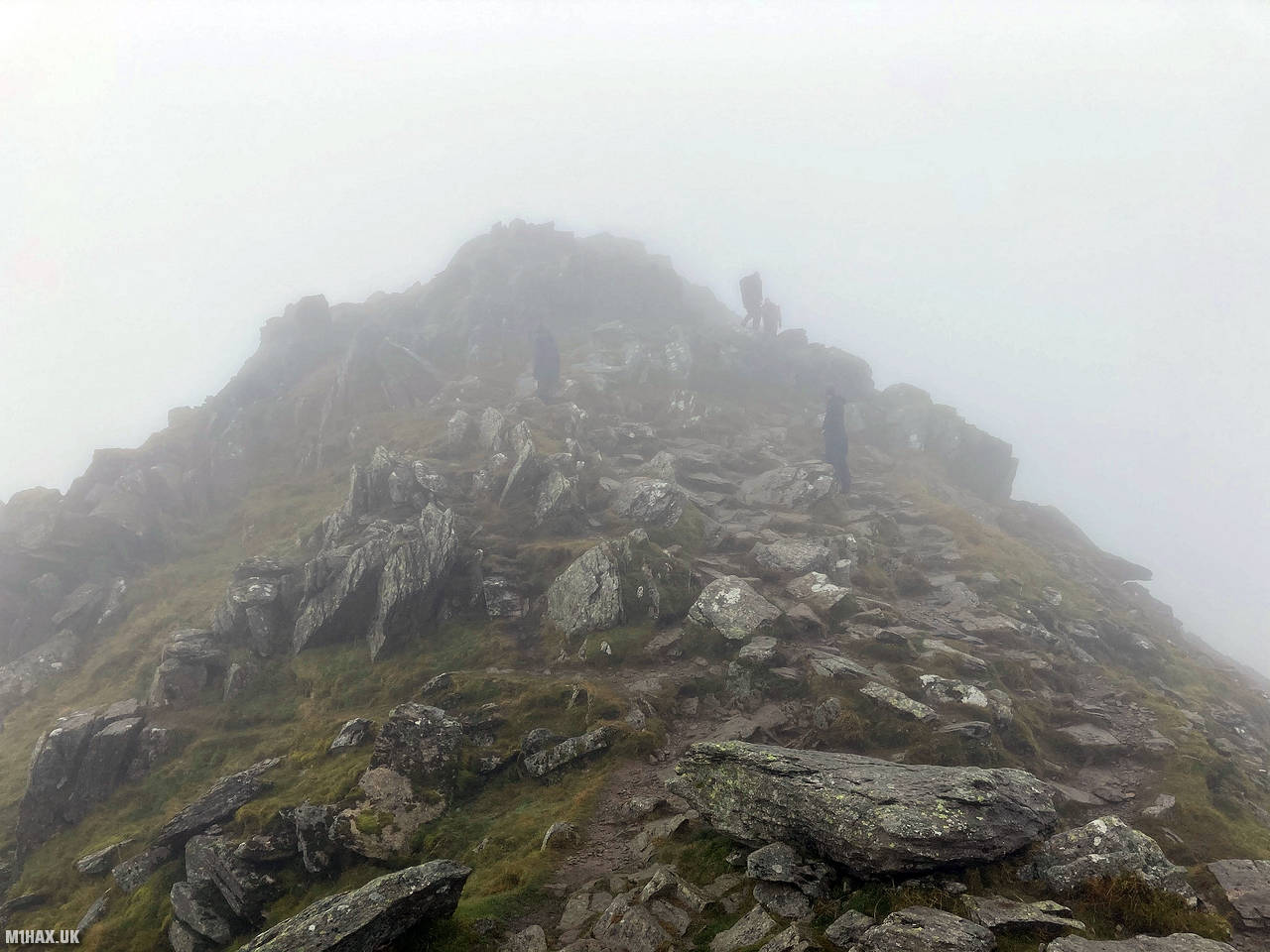
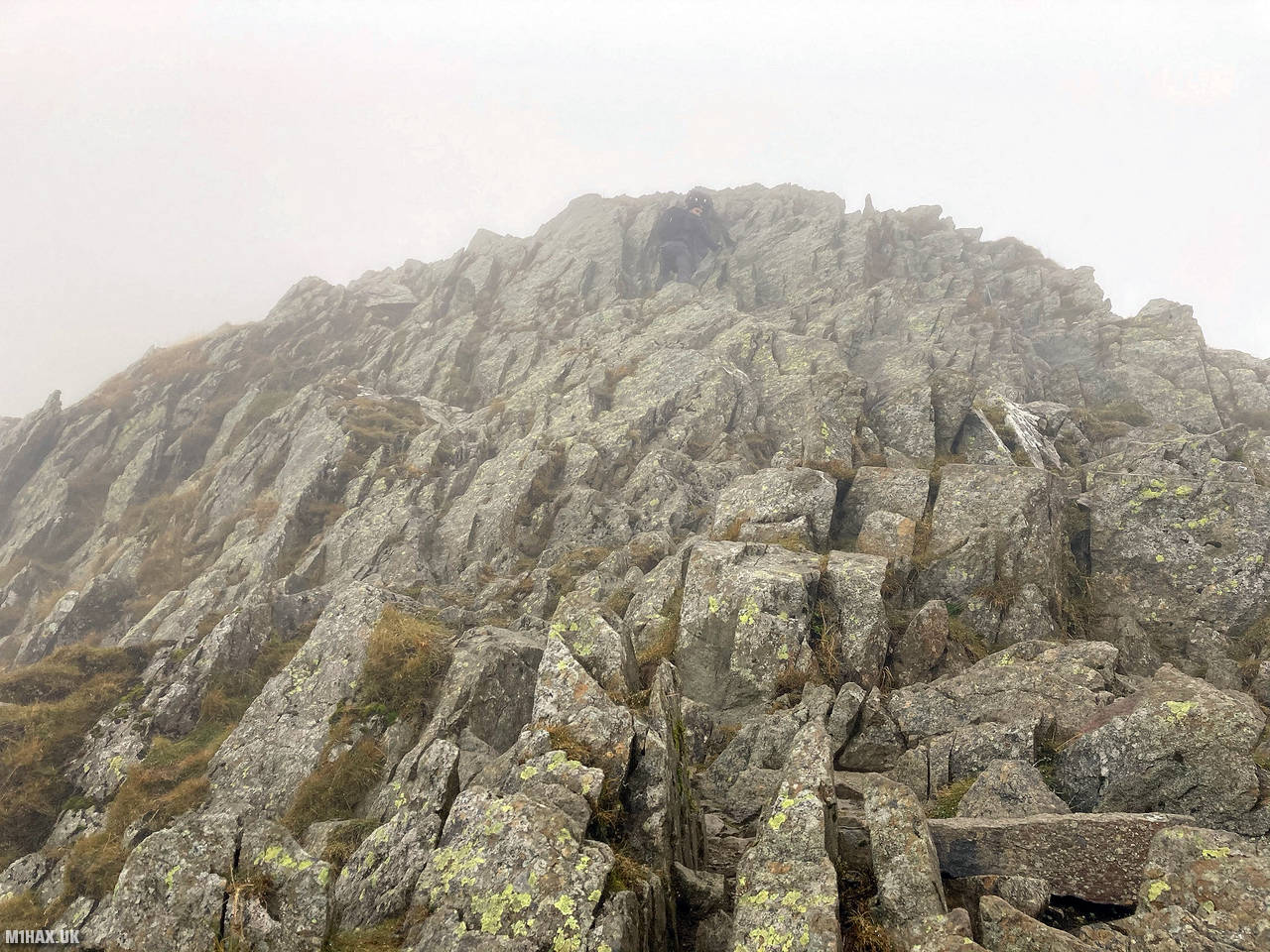
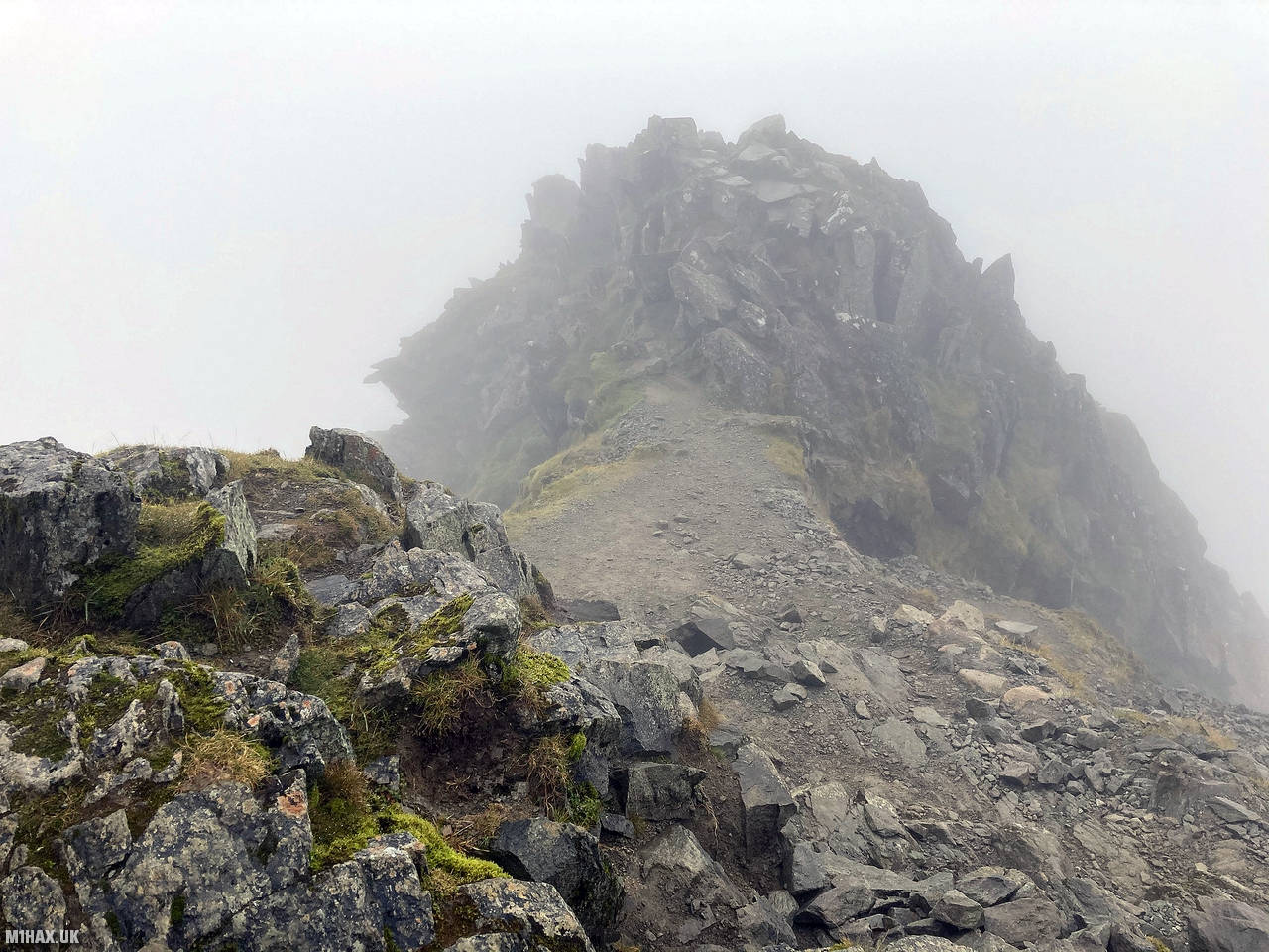
The prominent ridge is gained to the south west where this then becomes the famous Striding Edge grade 1 scrambling route which leads to the summit of Helvellyn. The scramble offers options for all abilities with bypass paths for the majority of the challenges. I sought to make the most of the route sticking to the most difficult lines. Towards the end of the route a short downclimb is required (perhaps the highlight of the entire scramble) - this can be bypassed by continuing ahead.
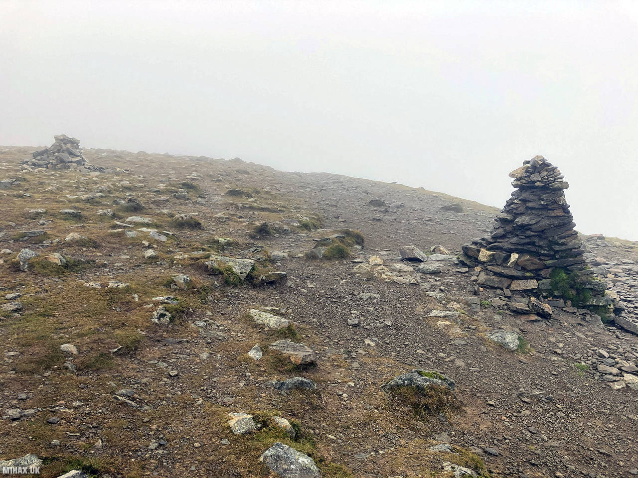
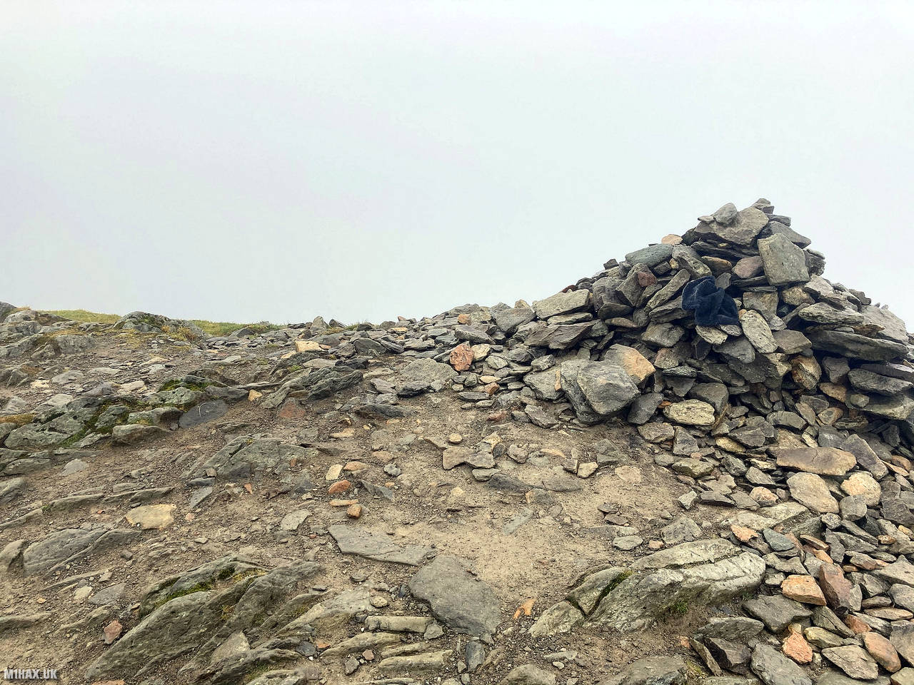
Reaching a damp and misty summit I setup my Yaesu mobile radio and operated for about ten minutes before continuing along the circular route heading south towards Seat Sandal.
Photos
Below are some photographs taken during my activation of Helvellyn on Saturday 17th October, 2020.


Walking Route for Helvellyn
The interactive map below shows my GPS track taken to the SOTA activation zone for Helvellyn. Note that this summit was activated as part of a multi-summit hike and the map below shows the full route taken on the day. The G/LD-003 summit area is marked on the map with a blue pin icon.
You can download the route shown above as a GPX file suitable for use with most GPS devices. This file is provided for information only, to support your own walk planning and research (it may contain navigation errors, detours and/or safety hazards). The route downloads provided here are governed by the Creative Commons BY-NC-SA 4.0 licence.
Station Log
I logged the following 15 amateur radio contacts operating as M1HAX/P from G/LD-003 Helvellyn on Saturday 17th October, 2020 (all times shown are UTC):
| Time | Callsign | Band | Mode | Notes |
|---|---|---|---|---|
| 09:45 | 2E0CSS | 2m | FM | Karl, 5/9 |
| 09:47 | G0TDM | 2m | FM | John, 5/9 |
| 09:48 | 2E0WDX/M | 2m | FM | Vin, 5/5 |
| 09:48 | 2E0EVD | 2m | FM | Clive, 5/9 |
| 09:49 | M0LJH | 2m | FM | Les, 5/9 |
| 09:50 | G7CDA | 2m | FM | Douggie, 5/9 |
| 09:50 | G1OHH | 2m | FM | Sue, 5/9 |
| 09:50 | M1DYU | 2m | FM | Gary, 5/7 |
| 09:51 | G6LKB | 2m | FM | David, 5/9 |
| 09:51 | M0KPW | 2m | FM | Chris, 5/9 |
| 09:52 | M0NOM | 2m | FM | Mark, 5/9 |
| 09:53 | GM4WHA | 2m | FM | Geoff, 5/2 |
| 09:54 | 2E0LIU | 2m | FM | Iain, 5/5 |
| 09:54 | G4OBK | 2m | FM | Phil, 5/3 |
| 09:55 | G0LWU | 2m | FM | Andrew, 5/9 |
In the notes field I will usually log the other operator’s name and the signal report they provided. In accordance with the Summits on the Air rules, I do not make a log entry where a complete exchange of callsigns and signal reports was unsuccessful.
Additional Information
The following resources may be helpful to walkers, mountaineers and SOTA activators interested in Helvellyn:
- Sotl.as Summit Page for G/LD-003 Helvellyn.
- Hill Bagging UK Summit Page for Helvellyn.
- Google Maps Page for Helvellyn.
- Wikipedia entry for Helvellyn.
- 360° Panorama near summit of G/LD-003 Helvellyn.
If you found this content valuable, why not Buy Me a Coffee?