Kirk Fell - G/LD-014 SOTA (2020)

Summits on the Air Activation Report
Activation Date: Saturday 10th October, 2020.
Activator(s): Richard M1HAX.
Summit: Kirk Fell, Lake District, England.
Summit ID: SOTA reference G/LD-014 (8 points).
Summit Height: 802m elevation, 181m prominence.
Summit Location: Lat./Long. 54.48332, -3.24412. Maidenhead Grid IO84jl.
Also Activated: G/LD-005, G/LD-006.
Distance: 16.5km travelled with 1458m of ascent.
Difficulty: SAC Grade T3.(?)
Elapsed Time: 7hr 25m (incl. operating and other summit(s) on the same hike).
Weather: Feels like 8.9°C, 9 kph WNW wind, 92% humidity.
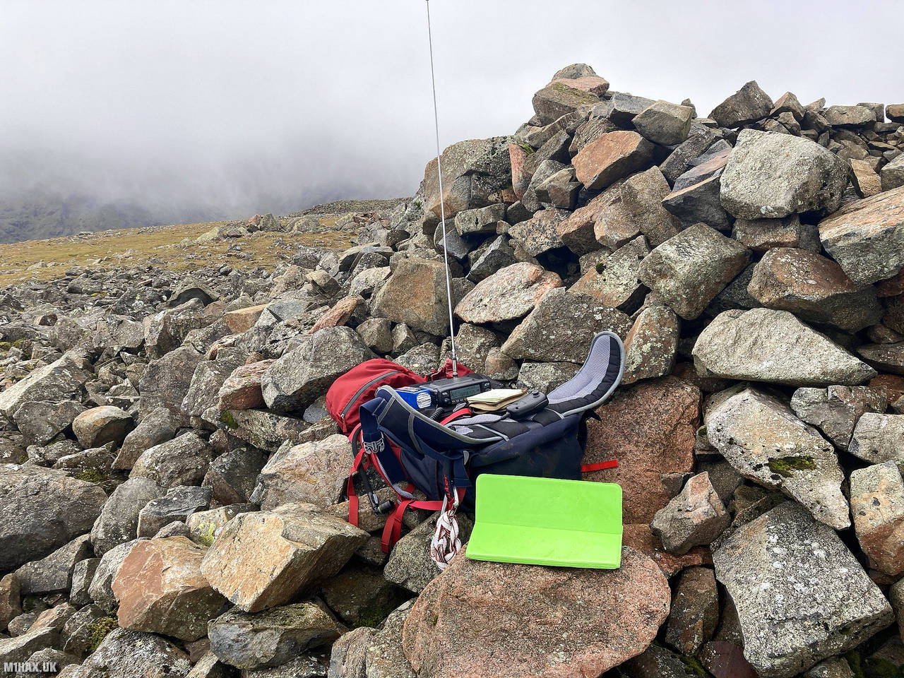
Radio Equipment: Yaesu FTM100D, MFJ-1714, Zippy 4200mAh 4S LiFePo4.
Callsign Used: M1HAX/P.
Contacts: 17 (2m FM).
Trip Notes
Kirk Fell is a prominent mountain in England’s Lake District National Park, standing at an elevation of 802 meters. It is part of the Wasdale Fells, a group of peaks known for their dramatic and rugged terrain.
For this hike to the summit of Kirk Fell, I would begin from the neighbouring summit of Great Gable which I had summitted earlier in the day.
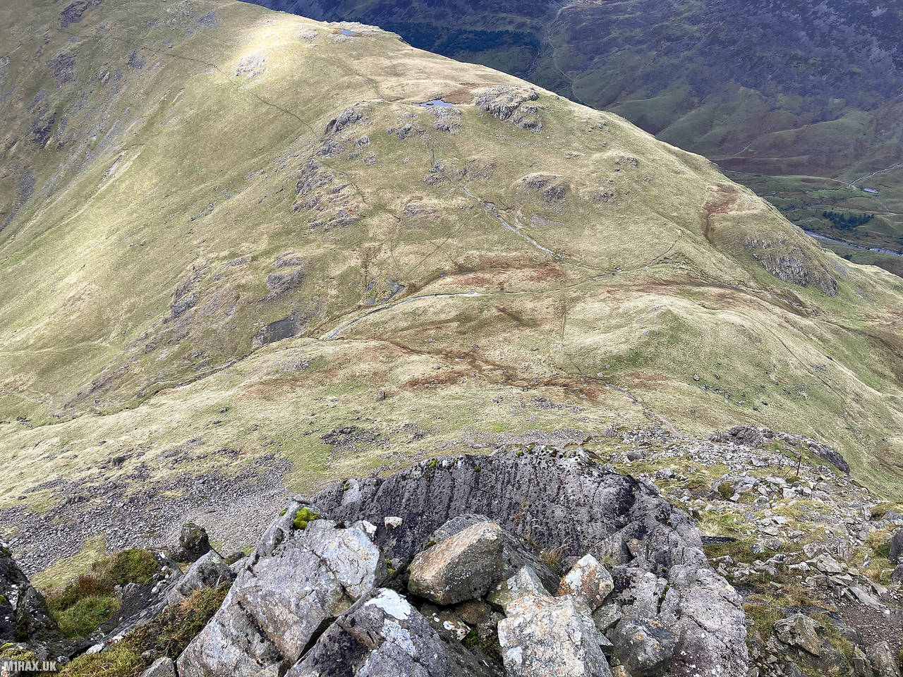
I descended west back down to the col between the two mountains and proceeded to cross the boggy ground around Beck Head towards Rib End.
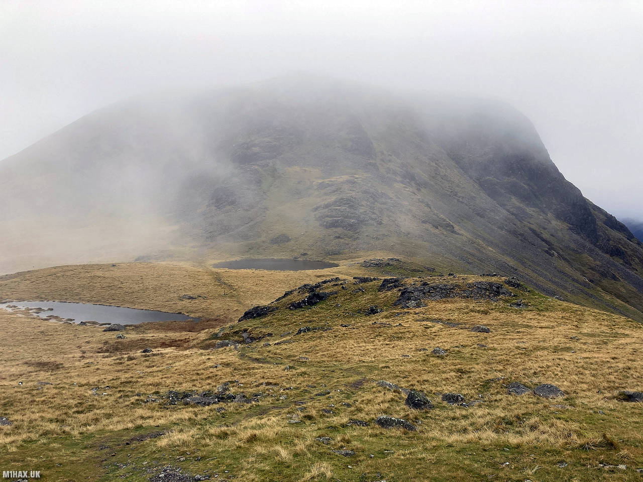
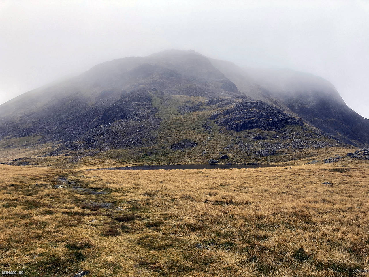
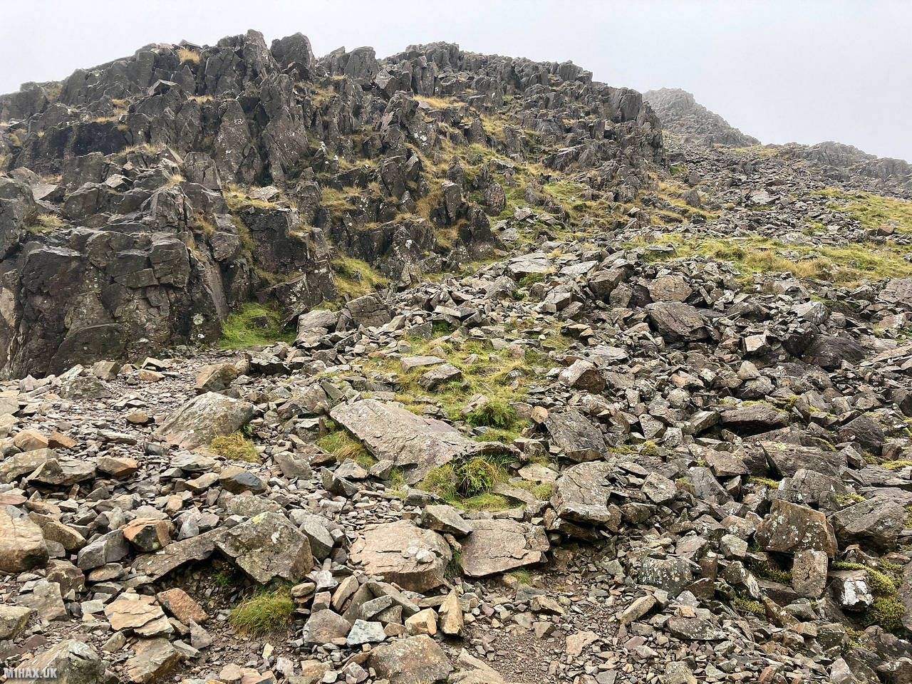
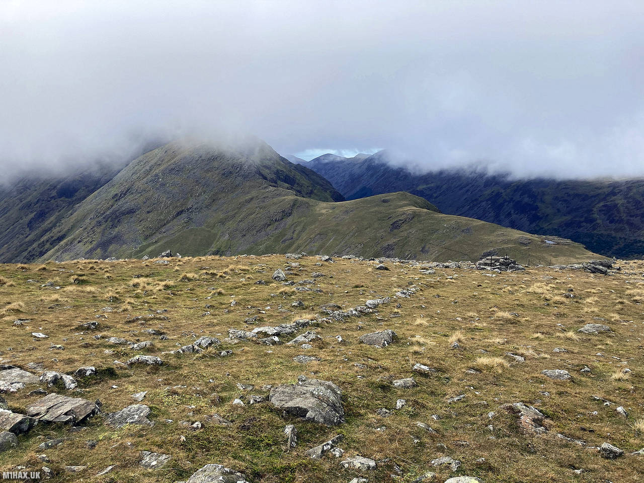
A steep and loose rocky walk leads up on to the plateau of Kirk Fell. I followed the footpath west towards the summit at 802 metres. It was a cold and damp day with low cloud, but occasionally I would catch a glimpse of fine views across the fells.
Arriving at the stone shelter by the summit, I again setup my Yaesu FTM100D radio and worked many of the stations I had spoken to from the summit of Great Gable about an hour and a half earlier.
I then followed a trail NNW towards Black Sail Pass and onwards to the final summit of the day, Pillar.
Photos
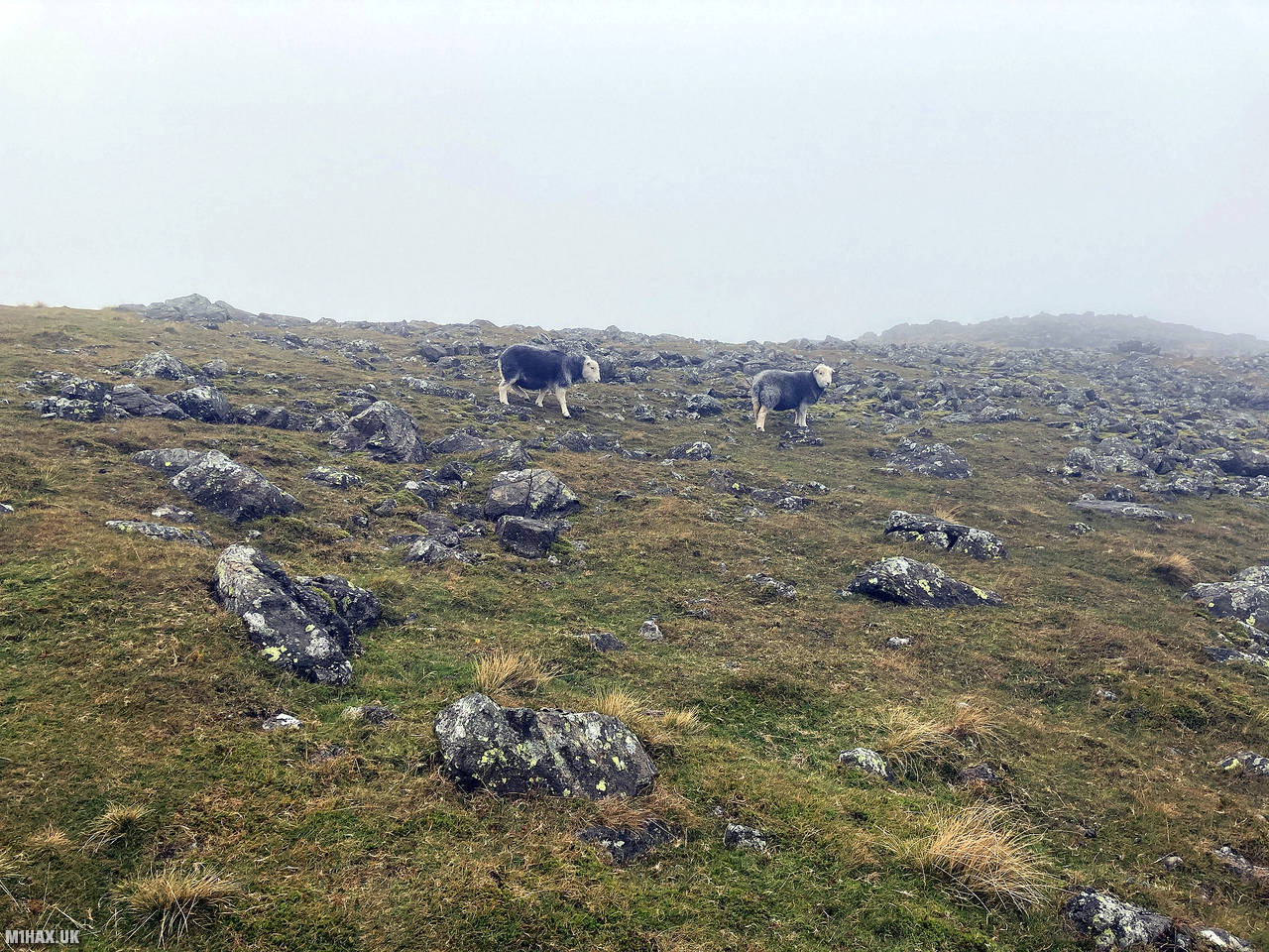
Below are some photographs taken during my activation of Kirk Fell on Saturday 10th October, 2020.


Walking Route for Kirk Fell
The interactive map below shows my GPS track taken to the SOTA activation zone for Kirk Fell. Note that this summit was activated as part of a multi-summit hike and the map below shows the full route taken on the day. The G/LD-014 summit area is marked on the map with a blue pin icon.
You can download the route shown above as a GPX file suitable for use with most GPS devices. This file is provided for information only, to support your own walk planning and research (it may contain navigation errors, detours and/or safety hazards). The route downloads provided here are governed by the Creative Commons BY-NC-SA 4.0 licence.
Station Log
I logged the following 17 amateur radio contacts operating as M1HAX/P from G/LD-014 Kirk Fell on Saturday 10th October, 2020 (all times shown are UTC):
| Time | Callsign | Band | Mode | Notes |
|---|---|---|---|---|
| 11:00 | M7KEE | 2m | FM | Simon, 5/9 |
| 11:02 | 2E0OMB | 2m | FM | Matthew, 5/9 |
| 11:03 | G6LKB/M | 2m | FM | David, 5/9 |
| 11:03 | M0DXT | 2m | FM | Bill, 5/9 |
| 11:04 | G4ZRP | 2m | FM | Brian, 5/9 |
| 11:05 | G0TDM | 2m | FM | John, 5/9 |
| 11:06 | G0MHF | 2m | FM | John, 5/9 |
| 11:06 | G0LWU | 2m | FM | Andrew, 5/9 |
| 11:06 | GM4WHA | 2m | FM | Geoff, 5/5 |
| 11:07 | 2E0XYL | 2m | FM | Karen, 5/7 |
| 11:08 | M0NOM | 2m | FM | Mark, 5/9 |
| 11:09 | M0TRI | 2m | FM | Andrew, 5/9 |
| 11:10 | 2E0CSS | 2m | FM | Karl, 5/2 |
| 11:10 | G7CDA | 2m | FM | Douggie, 5/8 |
| 11:11 | M7XUP/M | 2m | FM | Steve, 5/4 |
| 11:12 | G1OAE | 2m | FM | Tony, 5/9 |
| 11:13 | MW7LCX | 2m | FM | Liam, 5/2 |
In the notes field I will usually log the other operator’s name and the signal report they provided. In accordance with the Summits on the Air rules, I do not make a log entry where a complete exchange of callsigns and signal reports was unsuccessful.
Additional Information
The following resources may be helpful to walkers, mountaineers and SOTA activators interested in Kirk Fell:
- Sotl.as Summit Page for G/LD-014 Kirk Fell.
- Hill Bagging UK Summit Page for Kirk Fell.
- Google Maps Page for Kirk Fell.
- Wikipedia entry for Kirk Fell.
If you found this content valuable, why not Buy Me a Coffee?