Pillar - G/LD-006 SOTA (2020)

Summits on the Air Activation Report
Activation Date: Saturday 10th October, 2020.
Activator(s): Richard M1HAX.
Summit: Pillar, Lake District, England.
Summit ID: SOTA reference G/LD-006 (8 points).
Summit Height: 892m elevation, 349m prominence.
Summit Location: Lat./Long. 54.49748, -3.28113. Maidenhead Grid IO84il.
Also Activated: G/LD-005, G/LD-014.
Distance: 16.5km travelled with 1458m of ascent.
Difficulty: SAC Grade T2.(?)
Elapsed Time: 7hr 25m (incl. operating and other summit(s) on the same hike).
Weather: Feels like 8.9°C, 9 kph WNW wind, 92% humidity.
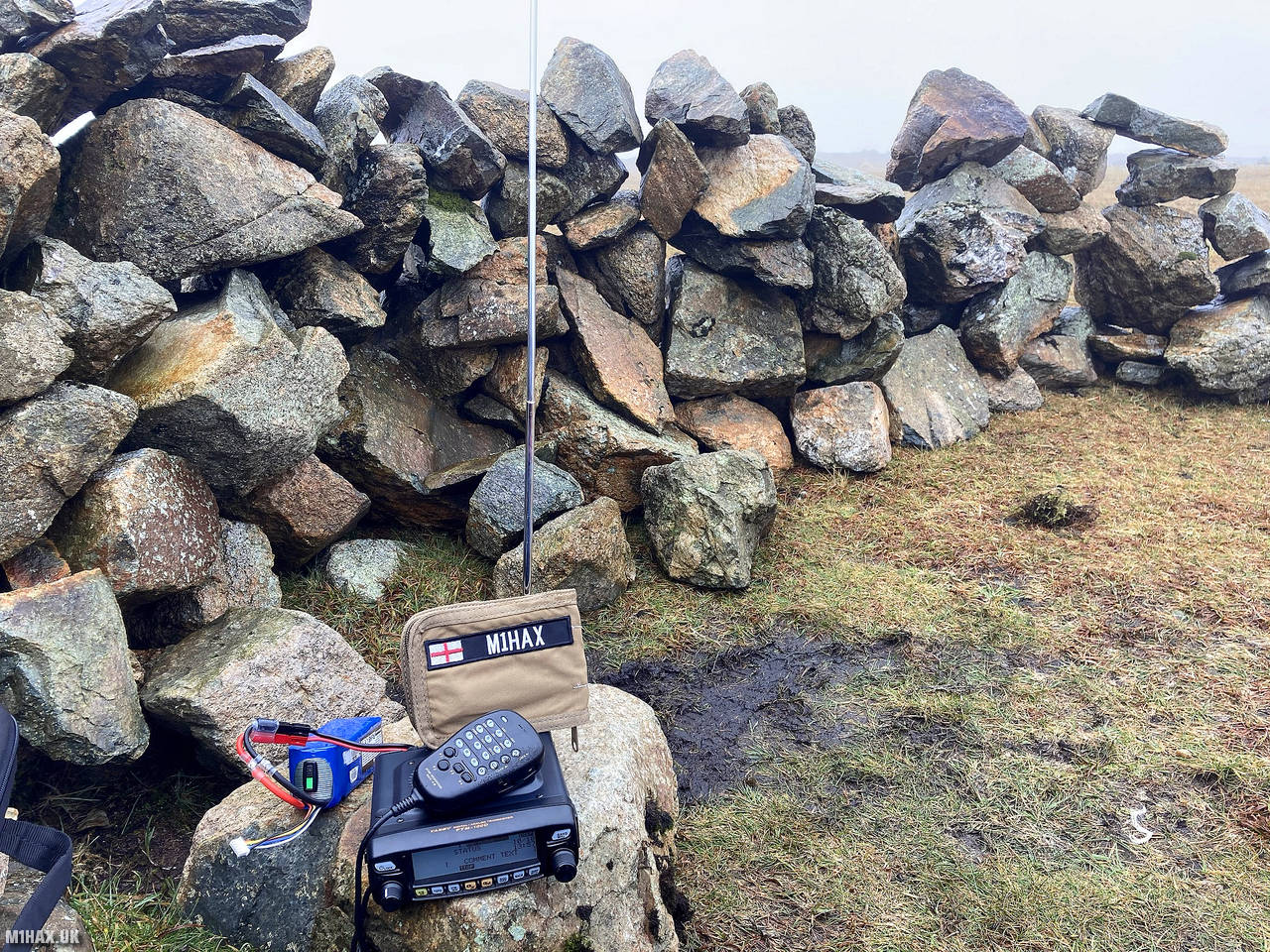
Radio Equipment: Yaesu FTM100D, MFJ-1714, Zippy 4200mAh 4S LiFePo4.
Callsign Used: M1HAX/P.
Contacts: 16 (2m FM).
Trip Notes
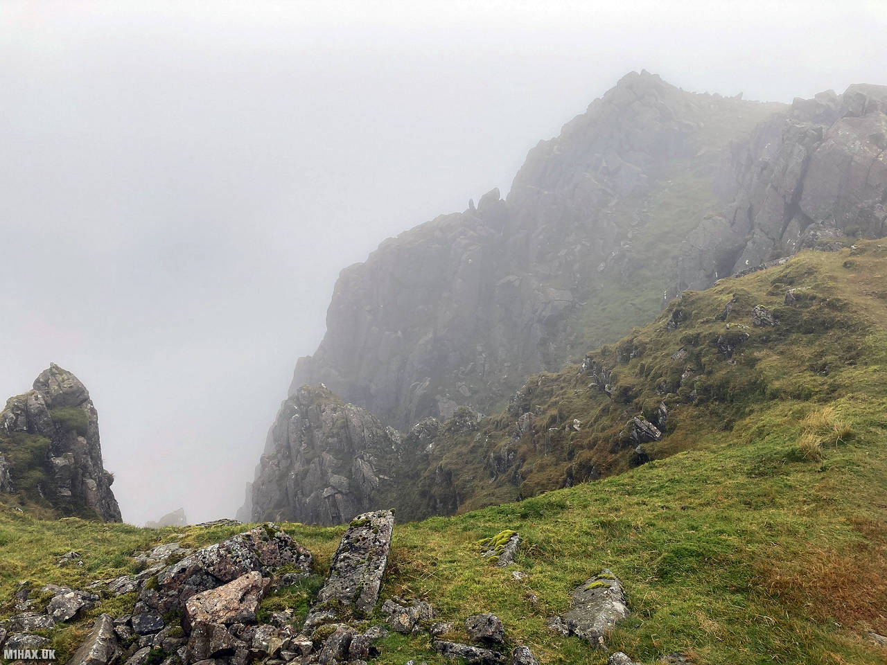
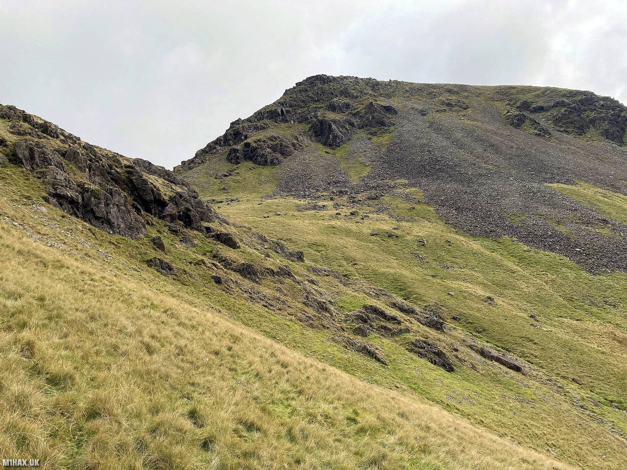
Pillar is a striking mountain located in the Lake District National Park in Cumbria, England. It stands at 892 meters (2,927 feet) above sea level and is renowned for its distinctive rock formations, including the famous Pillar Rock.
For my hike up Pillar I was starting from Kirk Fell, which I had summited earlier in the day.
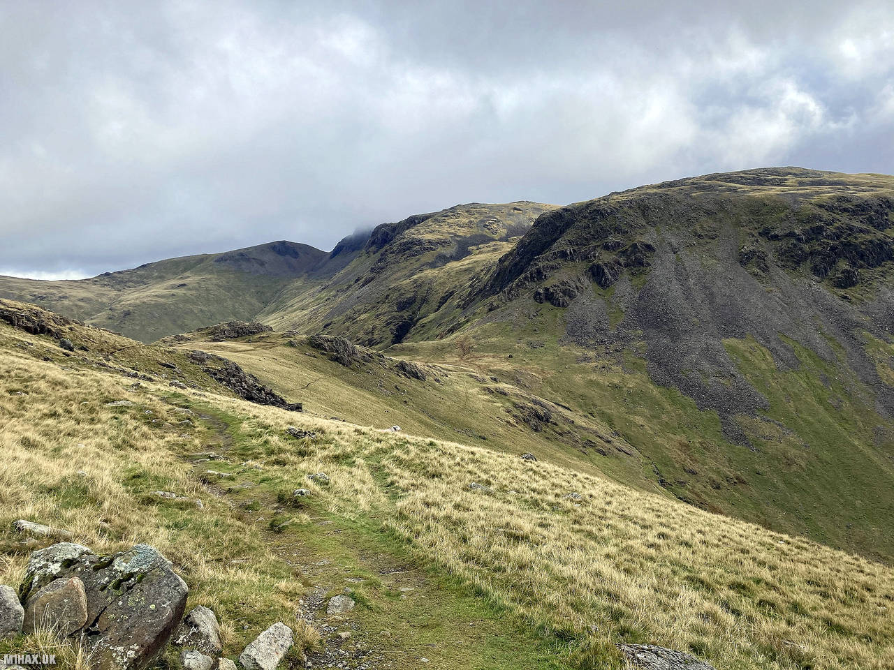
I descended NNW from Kirk Fell towards Black Sail Pass through steep craggy ground. This descent - whilst not technical - was the most challenging part of the circuit today.
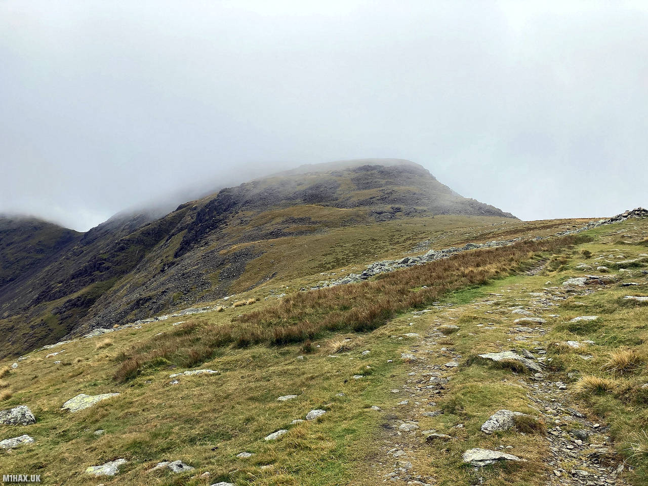
From Black Sail Pass there is a well-defined path following the ridge west all the way up to the summit of Pillar.
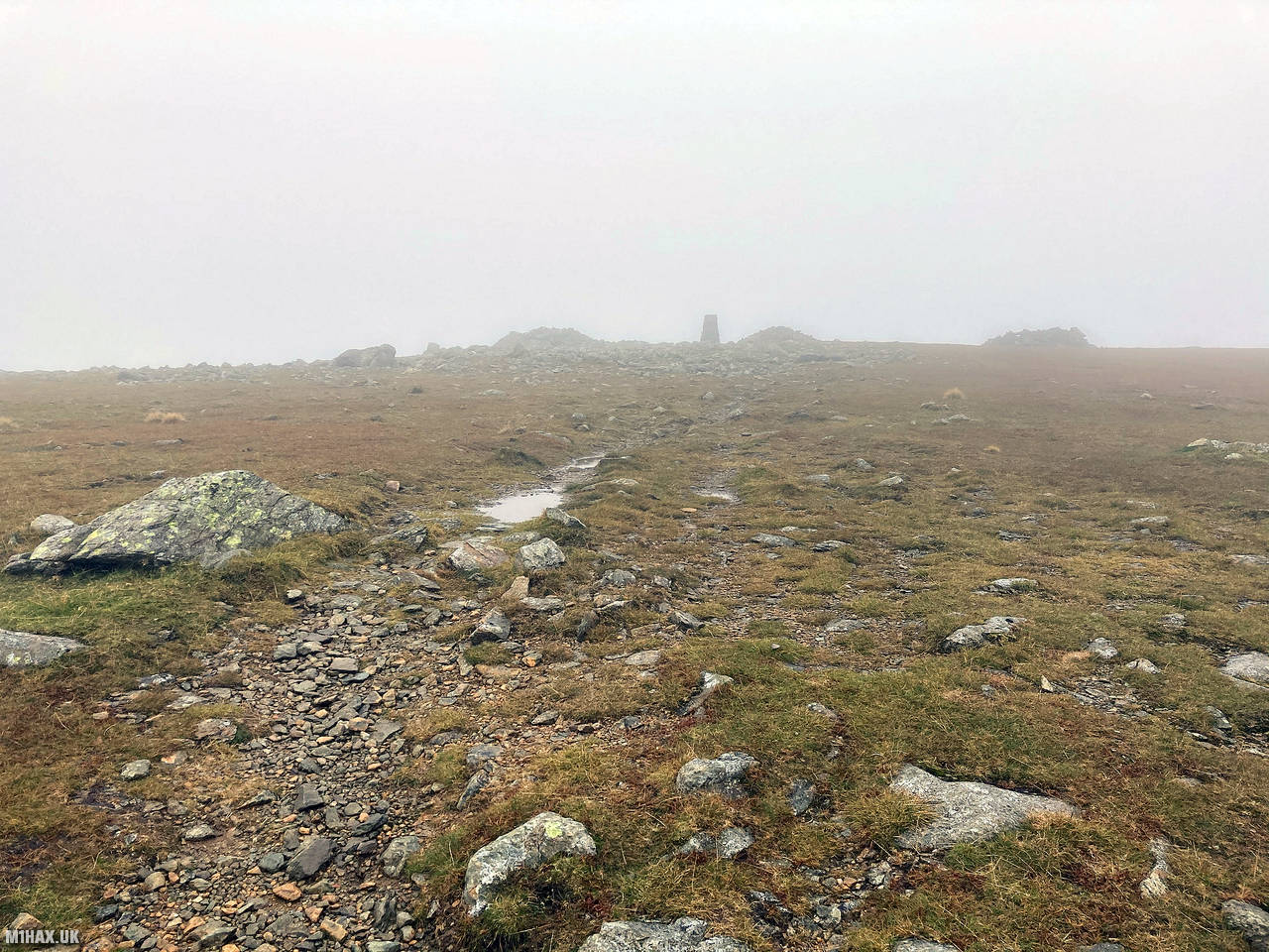
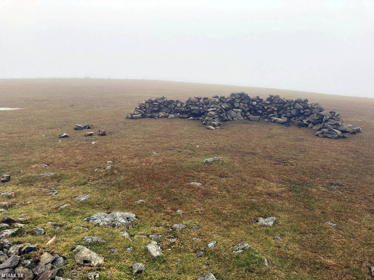
After about three kilometres I arrived at the expansive summit plateau of Pillar. Sheltering from the elements being a small stone shelter, I performed my third VHF SOTA activation of the day making sixteen contacts in just over ten minutes.
I then proceeded to follow the trail back towards Black Sail Pass, diverting southwest near Looking Stead to cut down the mountain towards the main path from Black Sail Pass towards Gatherstone Head. This shortcut is shown on maps as a path however I found the shortcut to be pathless.
After picking up the main path near Gatherstone Head I continued south returning to the car at Wasdale Head.
Photos
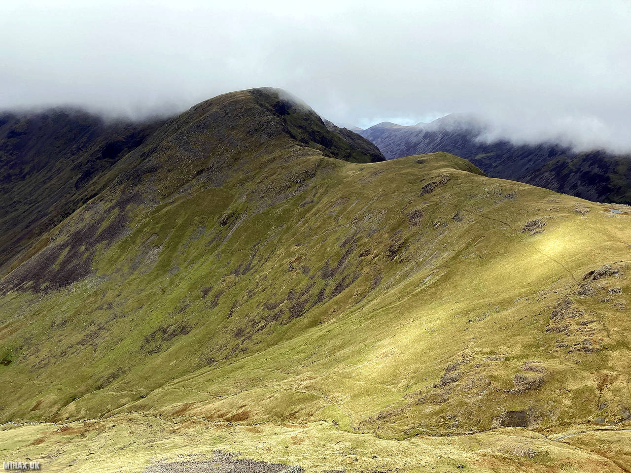
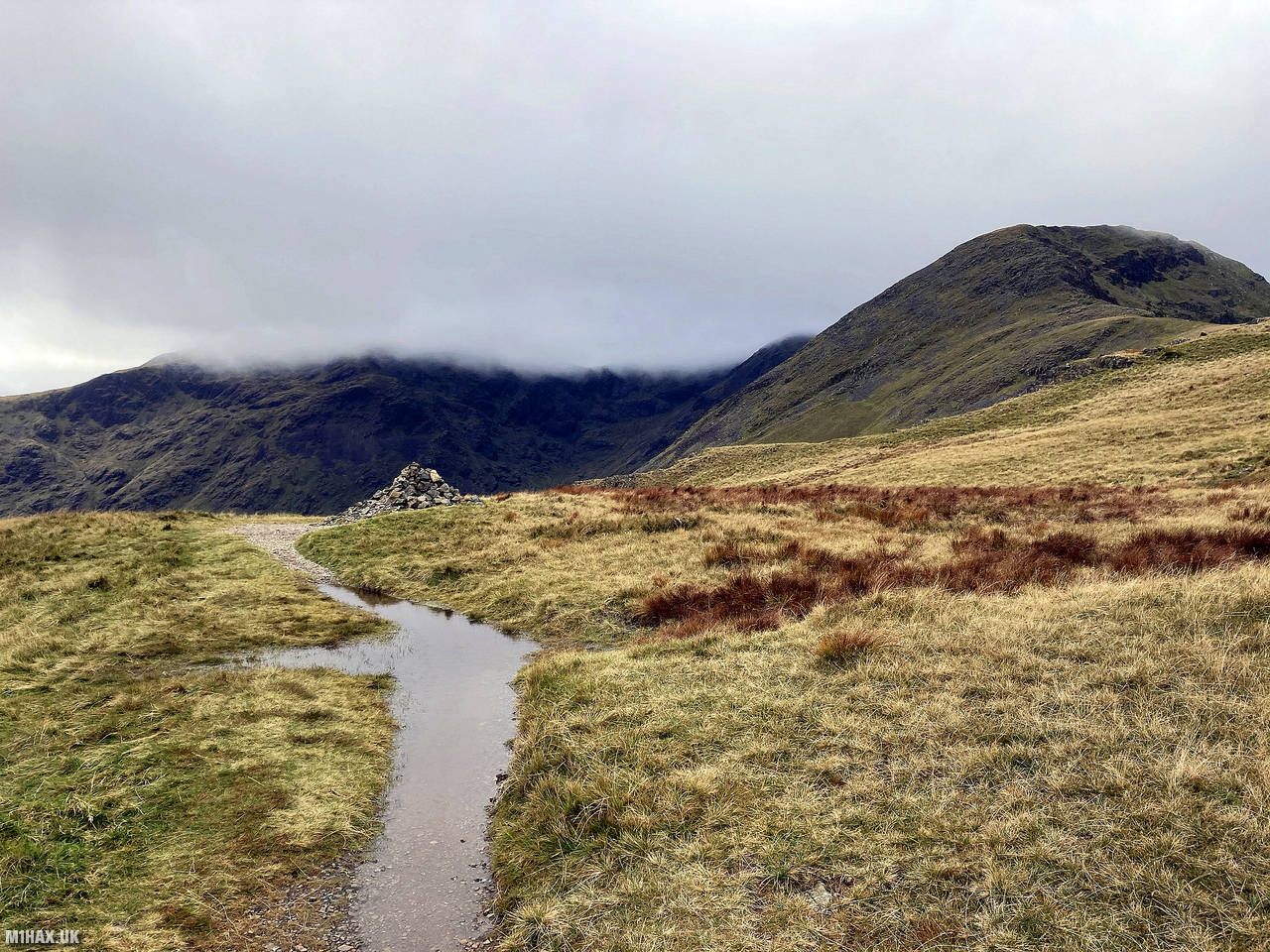
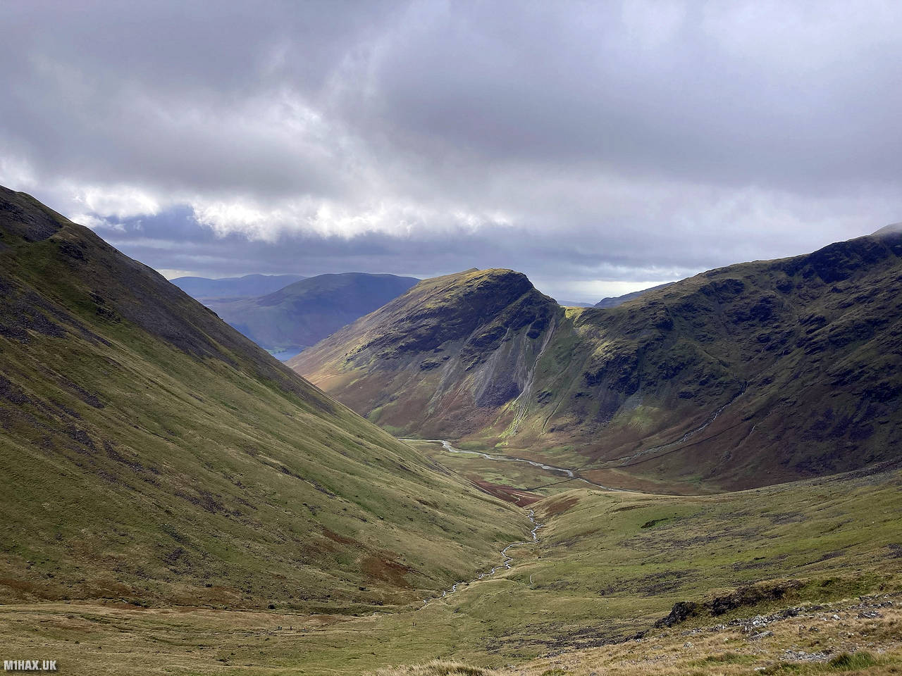
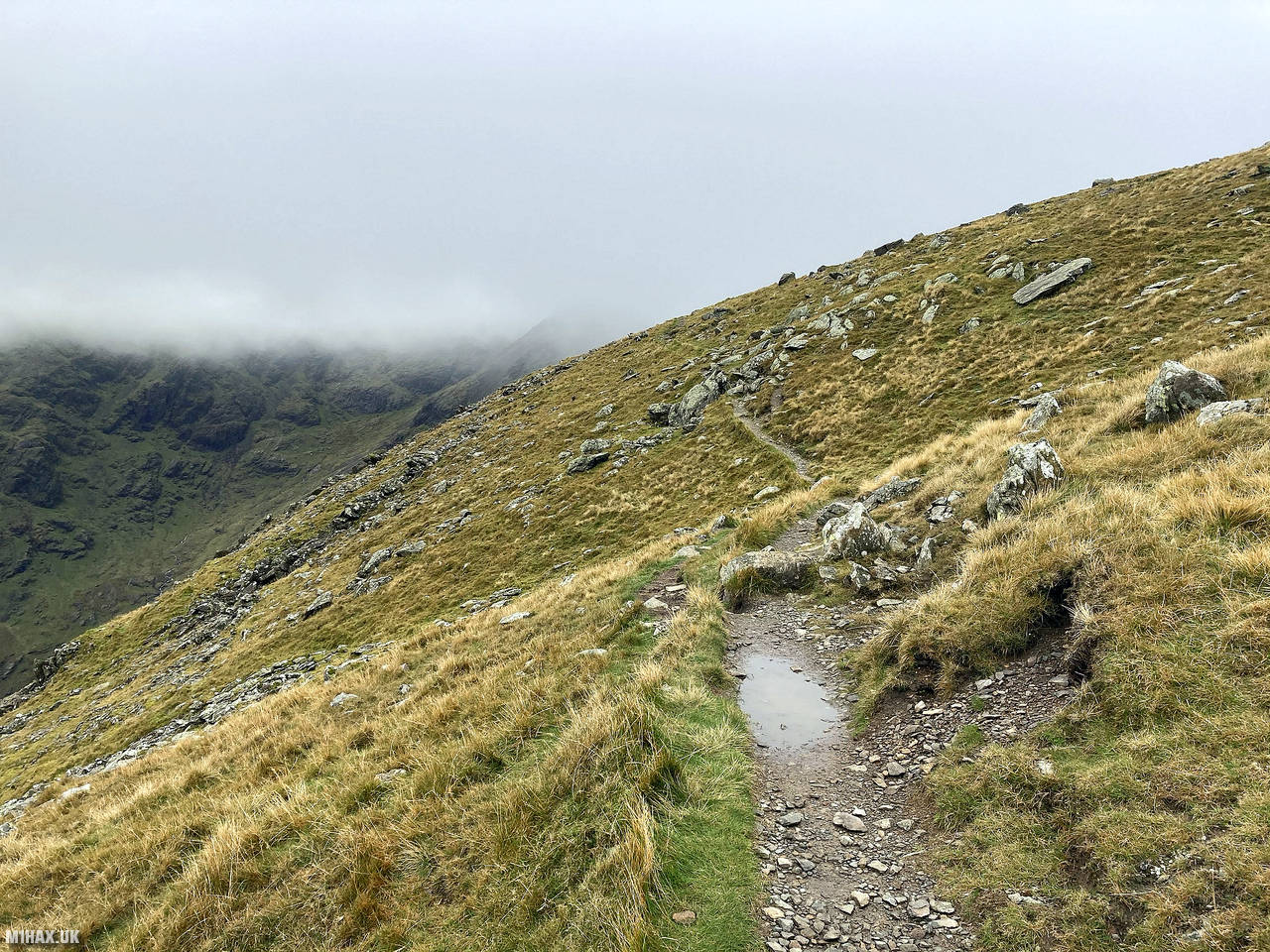
Below are some photographs taken during my activation of Pillar on Saturday 10th October, 2020.


Walking Route for Pillar
The interactive map below shows my GPS track taken to the SOTA activation zone for Pillar. Note that this summit was activated as part of a multi-summit hike and the map below shows the full route taken on the day. The G/LD-006 summit area is marked on the map with a blue pin icon.
You can download the route shown above as a GPX file suitable for use with most GPS devices. This file is provided for information only, to support your own walk planning and research (it may contain navigation errors, detours and/or safety hazards). The route downloads provided here are governed by the Creative Commons BY-NC-SA 4.0 licence.
Station Log
I logged the following 16 amateur radio contacts operating as M1HAX/P from G/LD-006 Pillar on Saturday 10th October, 2020 (all times shown are UTC):
| Time | Callsign | Band | Mode | Notes |
|---|---|---|---|---|
| 13:00 | G7CDA | 2m | FM | Douggie, 5/7 |
| 13:01 | G6LKB | 2m | FM | David, 5/9 |
| 13:02 | G1PIE | 2m | FM | Mark, 5/9 |
| 13:03 | 2E0LDF | 2m | FM | Reg, 5/9 |
| 13:04 | GW1CJJ | 2m | FM | Phil, 5/7 |
| 13:04 | G0LWU | 2m | FM | Andrew, 5/9 |
| 13:05 | G0MHF | 2m | FM | John, 5/8 |
| 13:05 | GM4WHA | 2m | FM | Geoff, 5/7 |
| 13:07 | G1OHH | 2m | FM | Sue, 5/8 |
| 13:07 | M7XUP | 2m | FM | Steve, 5/9 |
| 13:08 | G4ZRP | 2m | FM | Brian, 5/7 |
| 13:08 | G0TDM | 2m | FM | John, 5/8 |
| 13:09 | G7KSE | 2m | FM | Alex, 5/9 |
| 13:10 | 2E0XYL | 2m | FM | Karen, 5/4 |
| 13:11 | 2E0VVJ | 2m | FM | Tom, 5/9 |
| 13:11 | G4VFL | 2m | FM | Andrew, 5/9 |
In the notes field I will usually log the other operator’s name and the signal report they provided. In accordance with the Summits on the Air rules, I do not make a log entry where a complete exchange of callsigns and signal reports was unsuccessful.
Additional Information
The following resources may be helpful to walkers, mountaineers and SOTA activators interested in Pillar:
- Sotl.as Summit Page for G/LD-006 Pillar.
- Hill Bagging UK Summit Page for Pillar.
- Google Maps Page for Pillar.
- Wikipedia entry for Pillar.
If you found this content valuable, why not Buy Me a Coffee?