Allt Fawr - GW/NW-025 SOTA (2020)

Summits on the Air Activation Report
Activation Date: Saturday 12th December, 2020.
Activator(s): Richard M1HAX.
Summit: Allt Fawr, North Wales, Wales.
Summit ID: SOTA reference GW/NW-025 (4+3 points).
Summit Height: 698m elevation, 243m prominence.
Summit Location: Lat./Long. 53.00819, -3.96623. Maidenhead Grid IO83aa.
Also Activated: GW/NW-016.
Distance: 13.6km travelled with 889m of ascent.
Difficulty: SAC Grade T2.(?)
Elapsed Time: 5hr 25m (incl. operating and other summit(s) on the same hike).
Weather: Feels like 2.8°C, 19 kph WSW wind, 88% humidity.
Radio Equipment: Yaesu FTM100D, Diamond SRH770S, Zippy 4200mAh 4S LiFePo4.
Callsign Used: MW1HAX/P.
Contacts: 10 (2m FM).
Trip Notes
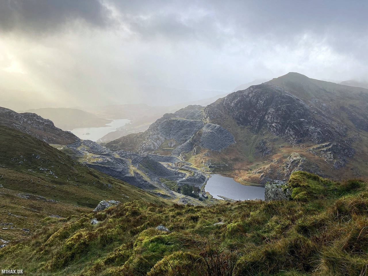
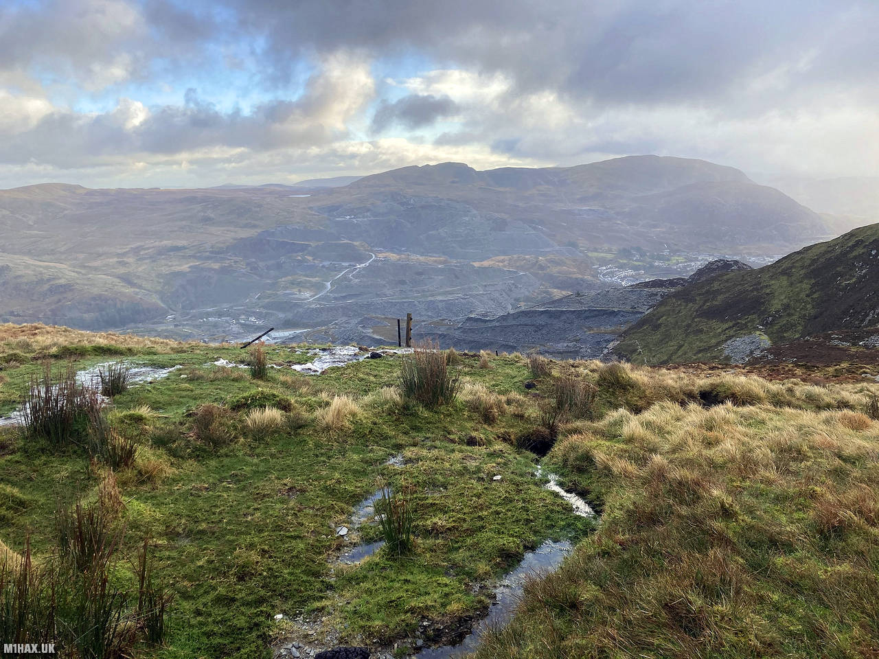
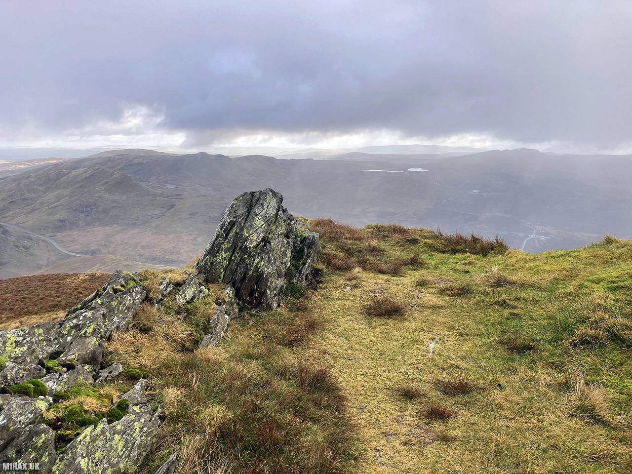
Allt-fawr is a mountain in Snowdonia, North Wales, part of the Moelwynion range. It overlooks Blaenau Ffestiniog, known for its slate quarries, and features the Oakeley Quarry on its northern slope and the Cwmorthin Quarry on its southern slope. These mines are connected beneath the summit, with visible surface collapses.
After driving through the village of Tan-y-grisiau I parked in the parking area at Afon Cwmorthin. There is free parking here for a dozen or so cars and seems to be a popular spot with locals and walkers visiting the waterfall and old quarry workings.
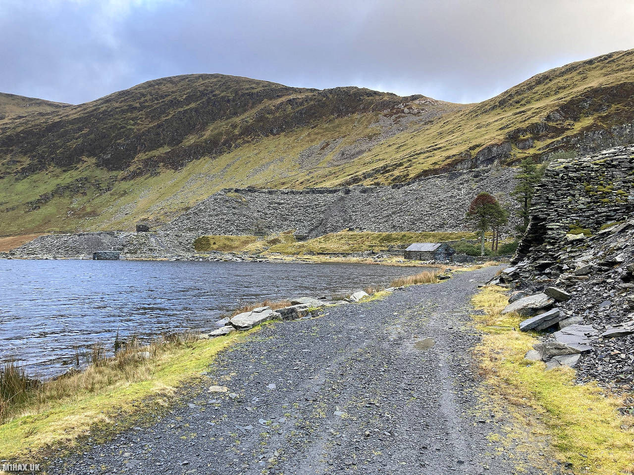
My walking route for the day would take me on a circuit first summiting Allt-fawr before heading across to the summit of Moelwyn Mawr later in the day. I started by following the gravel road up towards Llyn Cwmorthin before turning east, following a road and then footpaths up on to the mountainside. There is an old building on the eastern edge of the lake which is used as the starting point for Go Below underground adventure tours, featuring the world’s longest underground zip-line - well worth a visit.
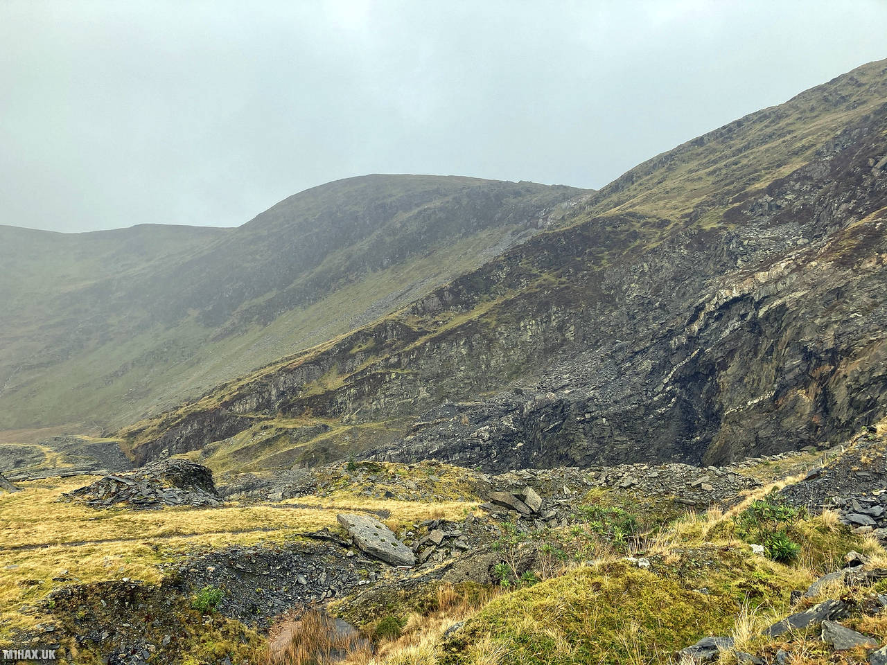
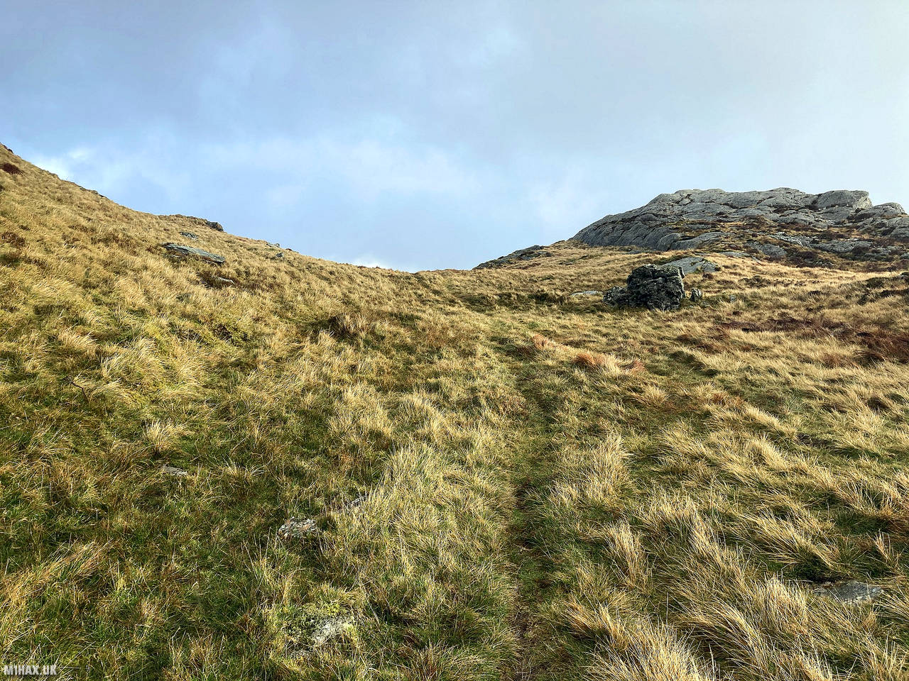
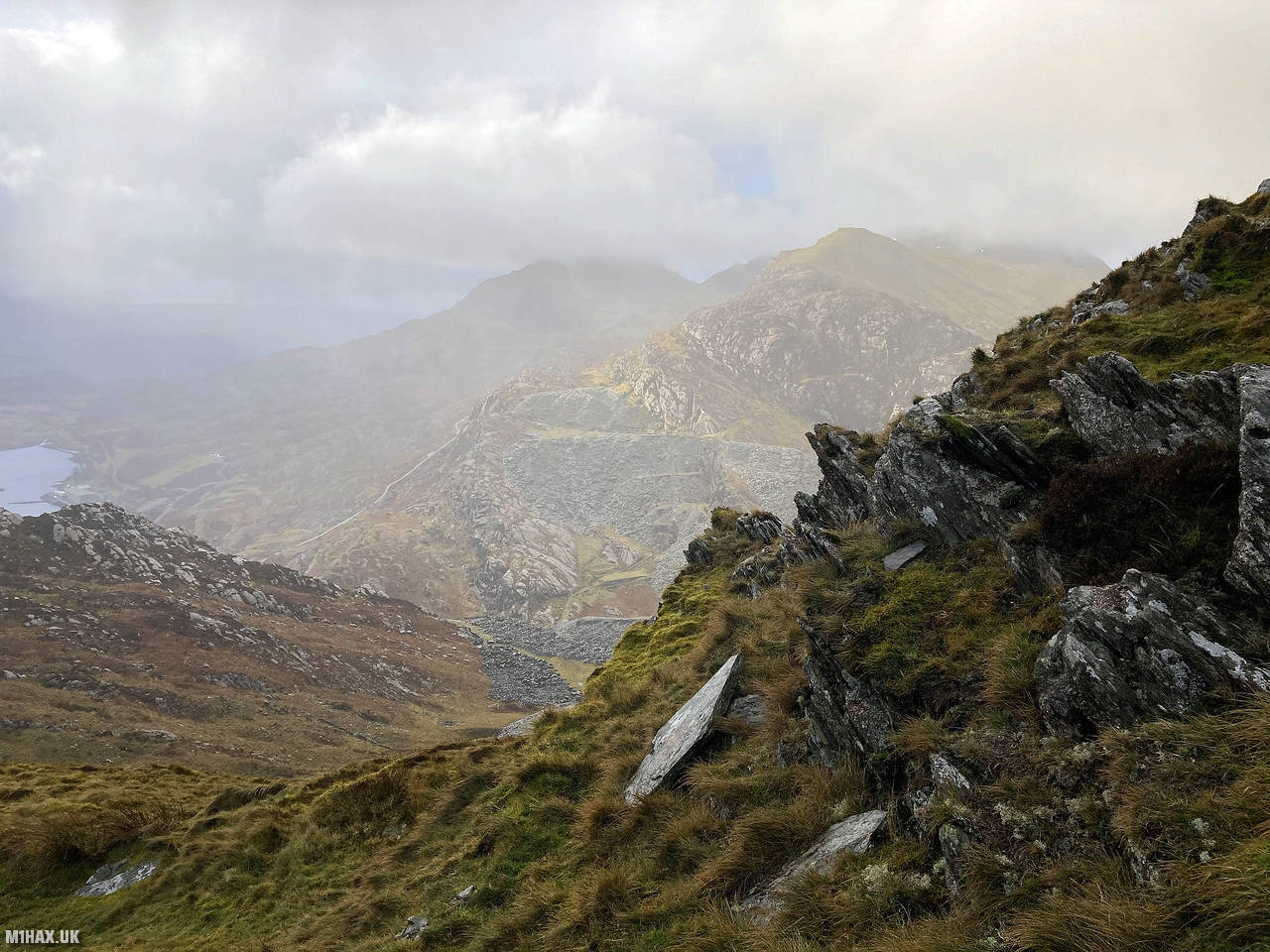
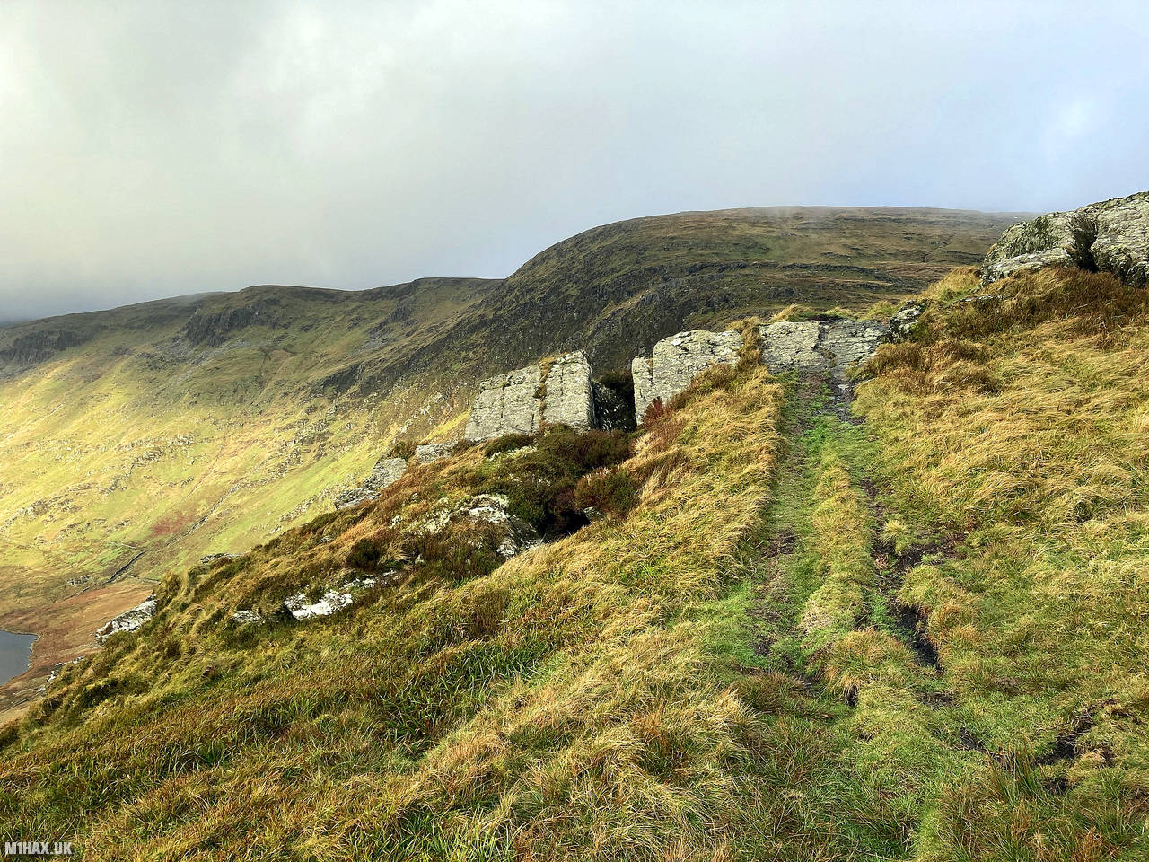
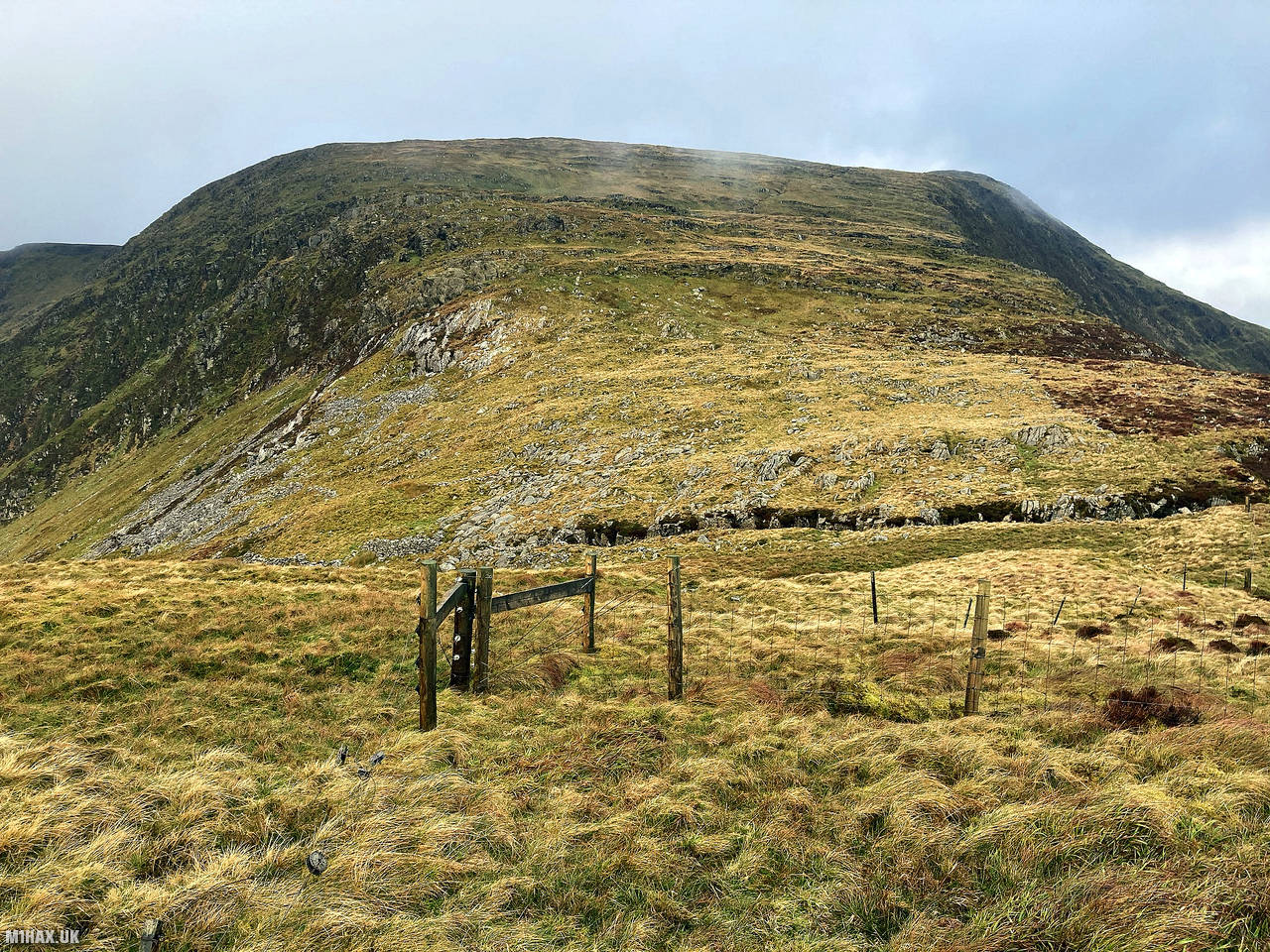
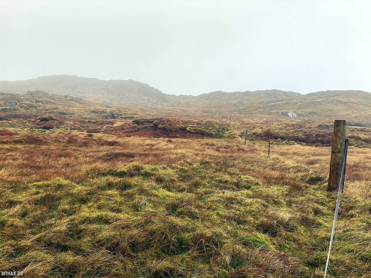
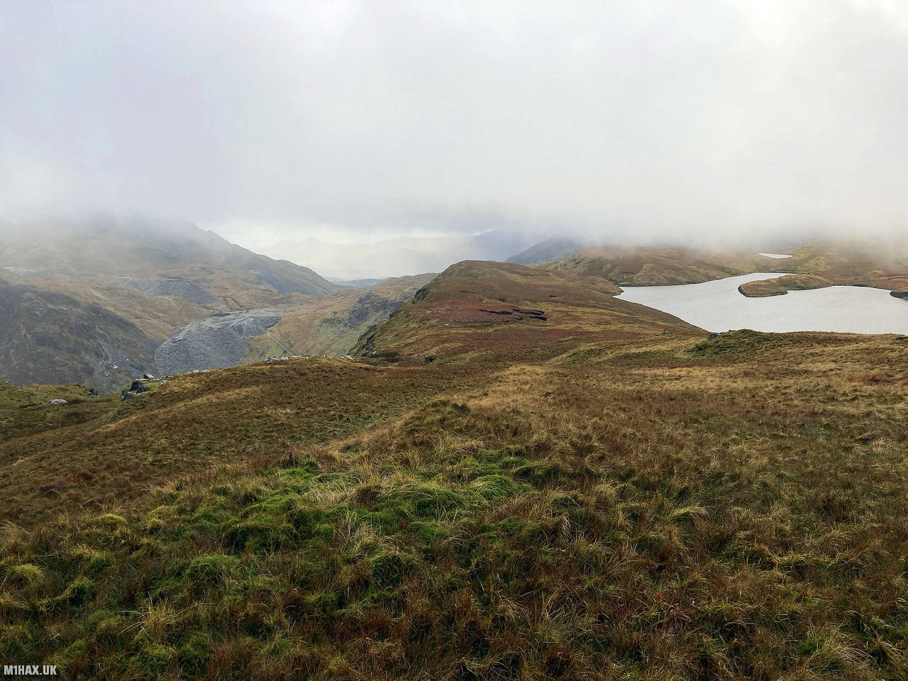
Turning northwards I followed a grassy boggy trail up the south side of Allt-fawr. Along the way I had brilliant views of the quarry workings in the valley below and over to Moelwyn Mawr which would be summitted later in the day.
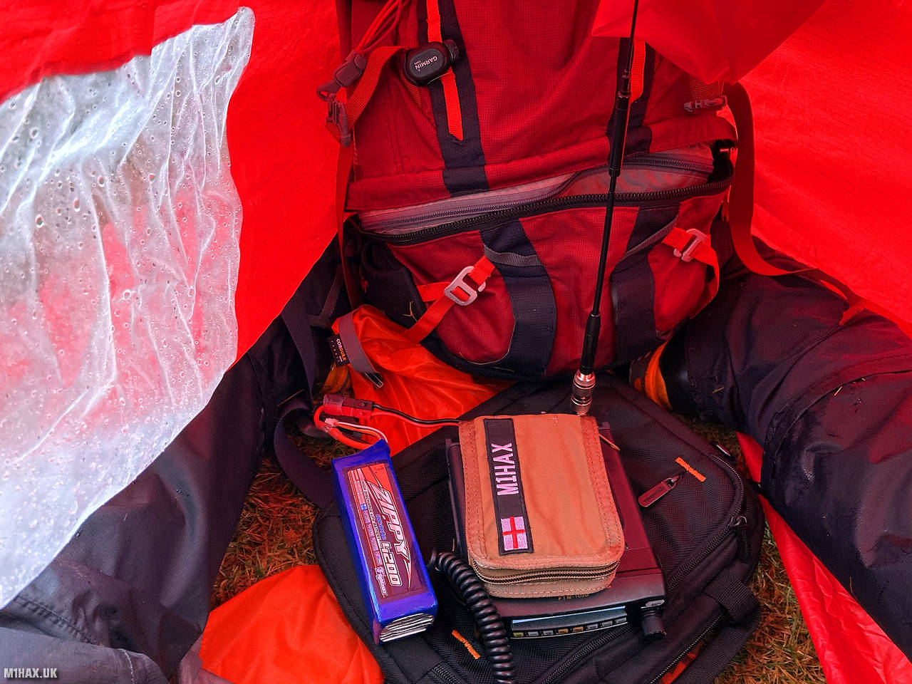
Arriving at the summit of Allt-fawr I found the ground to be uneven and boggy in places. Another rain shower had set in so I set up my radio station inside my Summitgear Supalite Bothy Bag. I made a handful of FM contacts on the two metre band, including a summit to summit contact with Kaan MW0UCL/P some distance away on the popular summit of Pen y Fan in the Brecon Beacons.
After a short while I packed away my Yaesu FTM100D radio and bothy bag and started descending to the west, heading on towards the next summit of Moelwyn Mawr. By itself the summit of Allt-Fawr is easily reached from the car park to the south and a hill which I would certainly recommend to fellow hill walkers.
Photos
Below are some photographs taken during my activation of Allt Fawr on Saturday 12th December, 2020.


Walking Route for Allt Fawr
The interactive map below shows my GPS track taken to the SOTA activation zone for Allt Fawr. Note that this summit was activated as part of a multi-summit hike and the map below shows the full route taken on the day. The GW/NW-025 summit area is marked on the map with a blue pin icon.
You can download the route shown above as a GPX file suitable for use with most GPS devices. This file is provided for information only, to support your own walk planning and research (it may contain navigation errors, detours and/or safety hazards). The route downloads provided here are governed by the Creative Commons BY-NC-SA 4.0 licence.
Station Log
I logged the following 10 amateur radio contacts operating as MW1HAX/P from GW/NW-025 Allt Fawr on Saturday 12th December, 2020 (all times shown are UTC):
| Time | Callsign | Band | Mode | Notes |
|---|---|---|---|---|
| 10:54 | GW4VPX | 2m | FM | Allan, 5/1 |
| 10:57 | GW4ZPL | 2m | FM | John, 5/9 |
| 10:58 | G1PIE | 2m | FM | Mark, 5/9 |
| 11:00 | G7OEM | 2m | FM | Tony, 5/9 |
| 11:01 | G6LKB | 2m | FM | David, 5/5 |
| 11:02 | G4TJC | 2m | FM | Simon, 5/9 |
| 11:03 | 2E0AGB | 2m | FM | Allen, 5/9 |
| 11:05 | G0HRT | 2m | FM | Rob, 5/7 |
| 11:09 | MW0UCL/P | 2m | FM | Kaan, 5/9, S2S GW/SW-001 |
| 11:11 | 2E0NPC | 2m | FM | Neil, 4/7 |
In the notes field I will usually log the other operator’s name and the signal report they provided. In accordance with the Summits on the Air rules, I do not make a log entry where a complete exchange of callsigns and signal reports was unsuccessful.
Additional Information
The following resources may be helpful to walkers, mountaineers and SOTA activators interested in Allt Fawr:
- Sotl.as Summit Page for GW/NW-025 Allt Fawr.
- Hill Bagging UK Summit Page for Allt Fawr.
- Google Maps Page for Allt Fawr.
- Wikipedia entry for Allt Fawr.
- 360° Panorama near summit of GW/NW-025 Allt Fawr.
If you found this content valuable, why not Buy Me a Coffee?