Blencathra - G/LD-008 SOTA (2020)

Summits on the Air Activation Report
Activation Date: Wednesday 9th December, 2020.
Activator(s): Richard M1HAX.
Summit: Blencathra, Lake District, England.
Summit ID: SOTA reference G/LD-008 (8 points).
Summit Height: 868m elevation, 461m prominence.
Summit Location: Lat./Long. 54.63995, -3.04979. Maidenhead Grid IO84lp.
Distance: 7.9km travelled with 665m of ascent.
Difficulty: SAC Grade T4 (Winter).(?)
Elapsed Time: 3hr 5m (including operating).
Weather: Feels like 2.6°C, 10 kph ENE wind, 97% humidity, snow/ice.
Radio Equipment: Yaesu FTM100D, Diamond SRH770S, Zippy 4200mAh 4S LiFePo4.
Callsign Used: M1HAX/P.
Contacts: 12 (2m FM).
Trip Notes
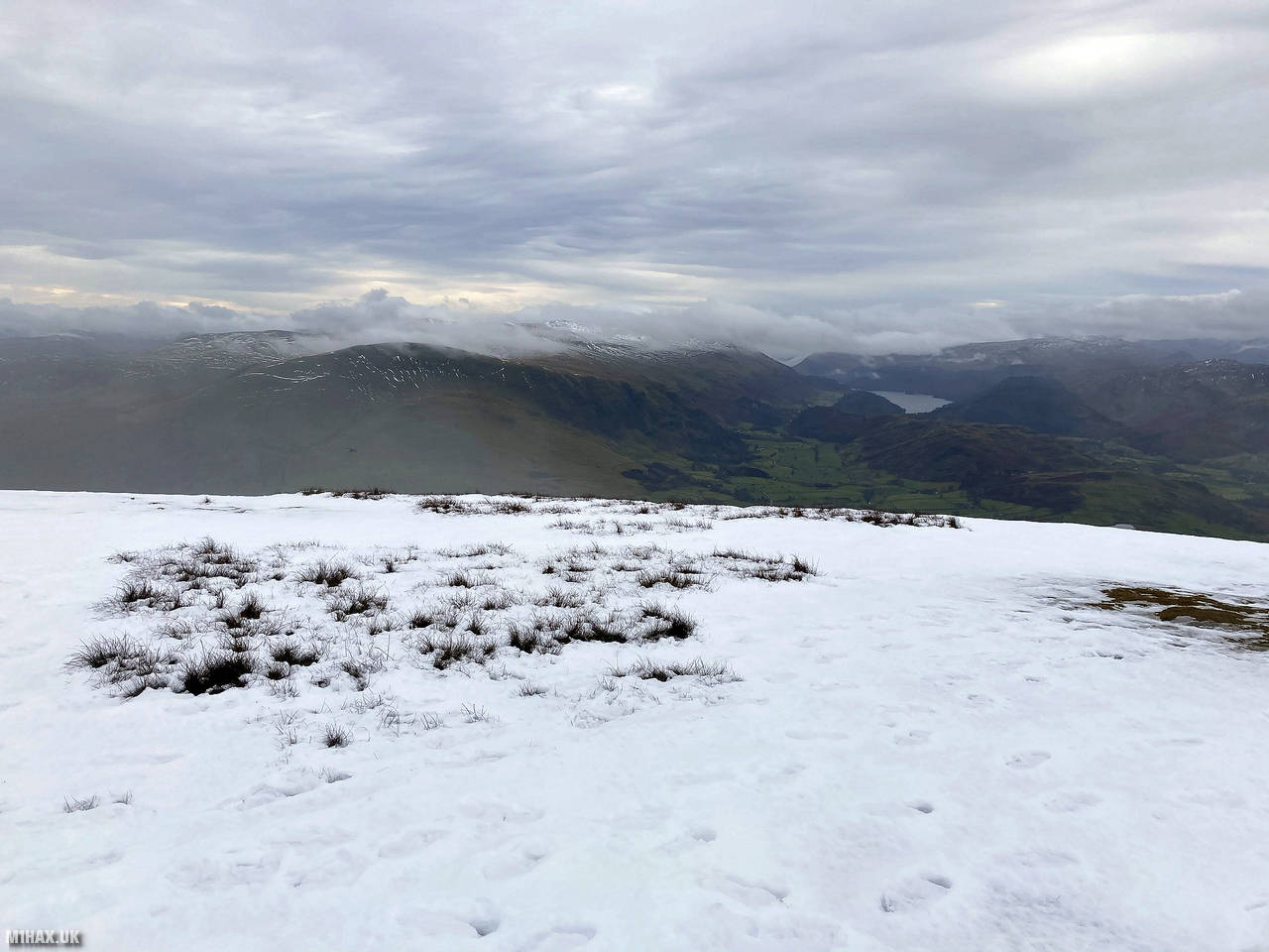
Blencathra, also called Saddleback, is a northern hill in the English Lake District, featuring six tops with Hallsfell Top as the highest at 868 meters. Initially named Saddleback by Ordnance Survey, it now goes by the Cumbric name Blencathra, popularized by Alfred Wainwright. The views from the summit are extensive, with Skiddaw to the west and Back o’Skiddaw fells to the northeast, along with distant mountains like those of Galloway, Southern Uplands and the Cheviots.
Earlier in the day I completed a separate hike to the summit of Skiddaw, before driving to park at the free car park beyond Middle Row Farm, west of Threlkeld.
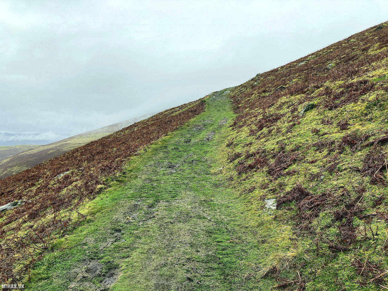
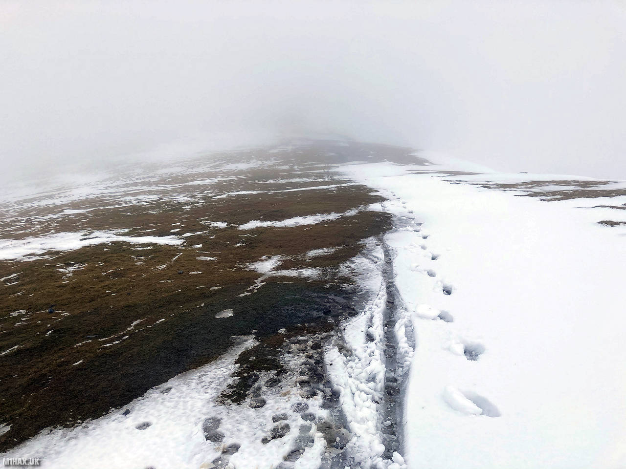
Much like Skiddaw, a well-defined path leads from the car park to the summit of Blencathra. There are a number of popular routes to the summit including Sharp Edge and Hallsfell Ridge, but this is a quieter and easier route.
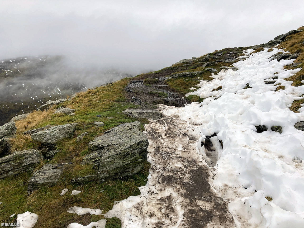
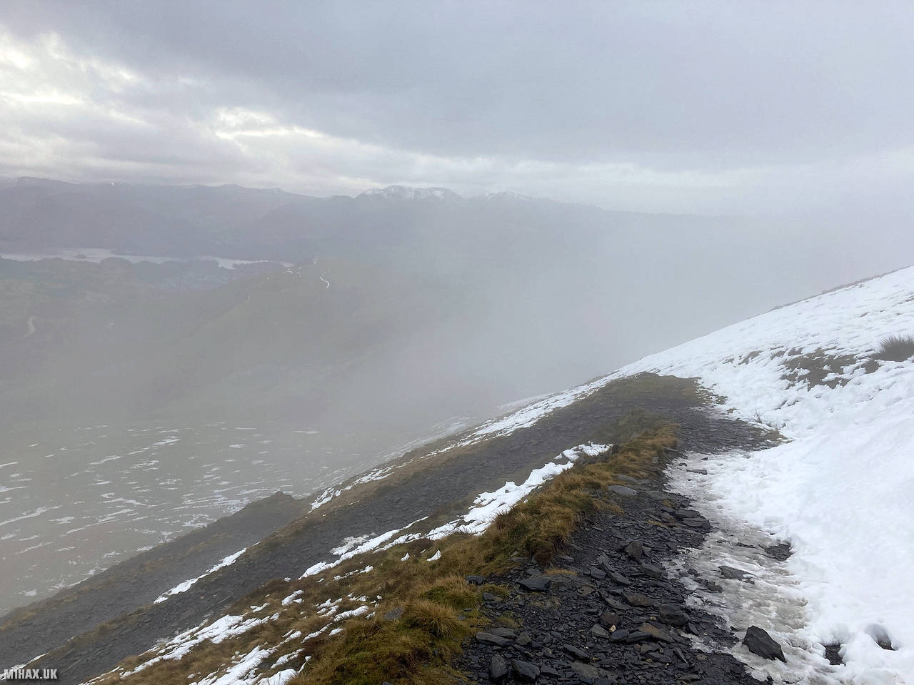
I followed the steep path up towards Blease Fell (805m) which was occasionally obscured by soft snow from about 700 metres and up. I passed a couple of people travelling in the opposite direction who were having great difficulty descending the steep snow drifts in trainers.
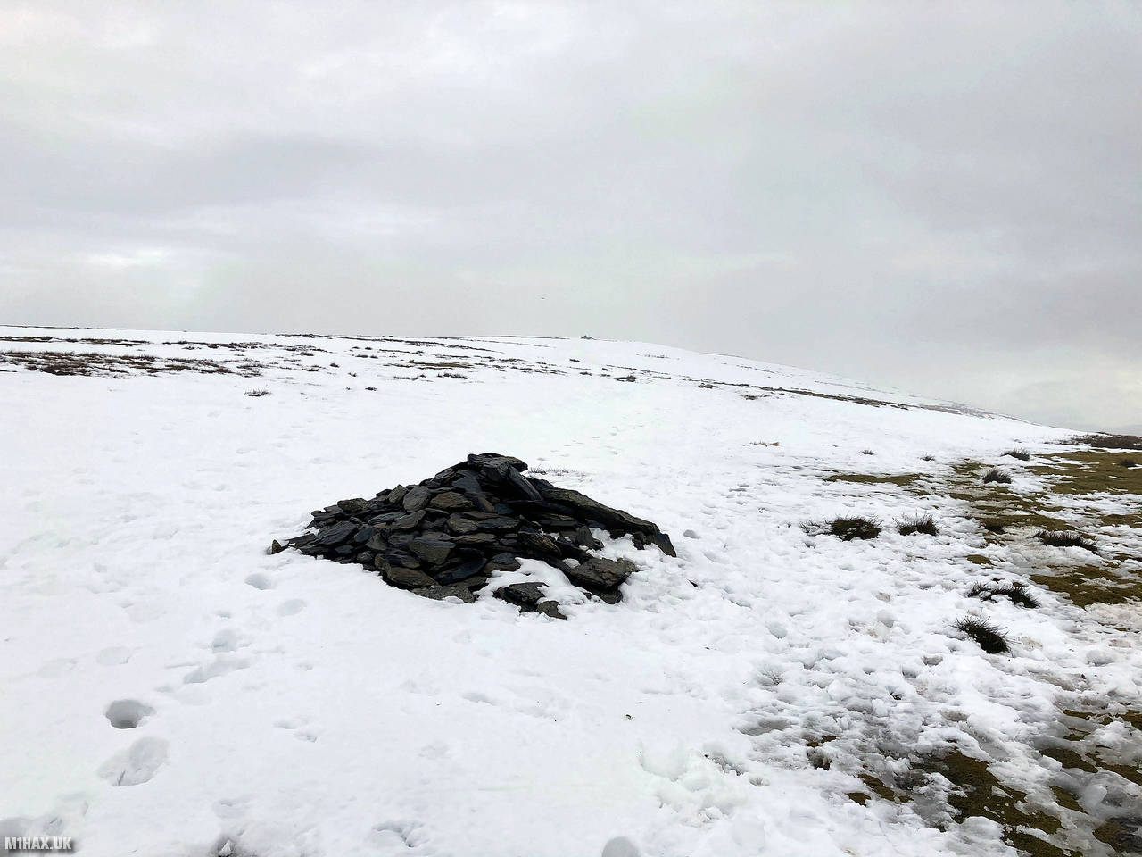
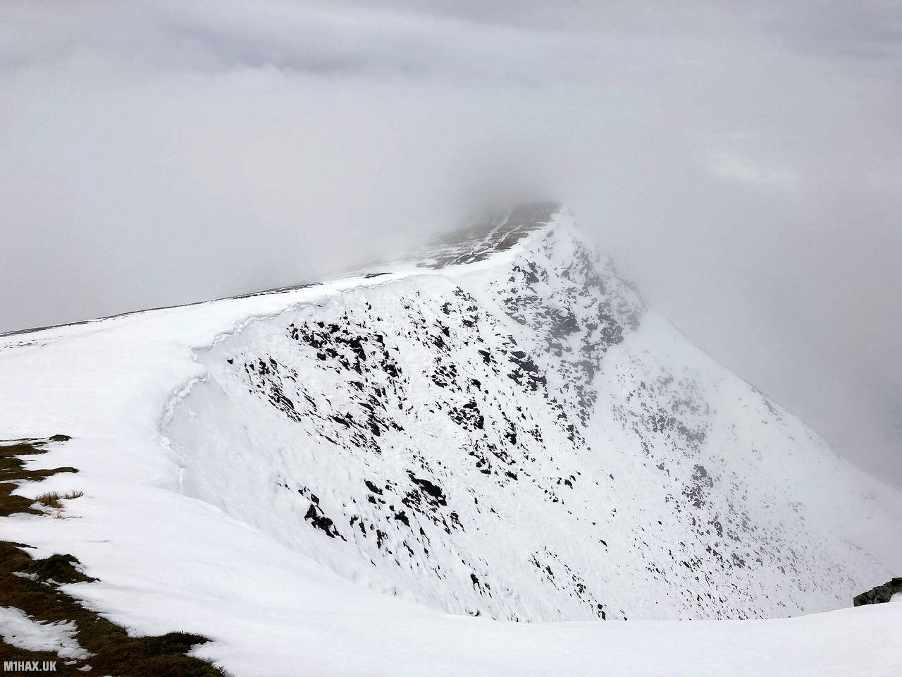
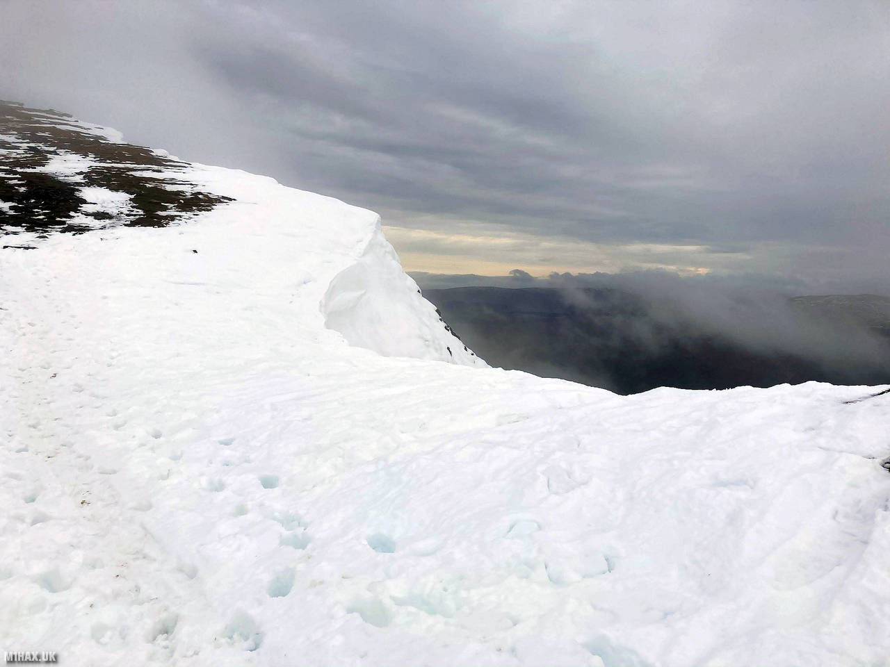
After passing Blease Fell, I stopped to admire some snow cornices which had formed around the top of Blease Gill. From here the path takes a gentler gradient, turning north east to the summit of Blencathra.
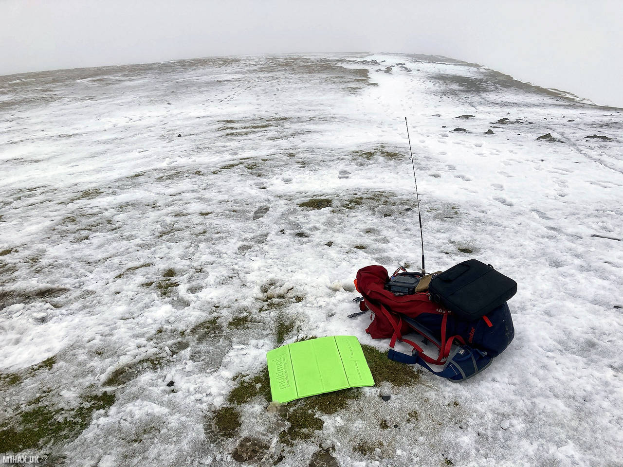
In cold winds I set up my Yaesu FTM100D radio to activate the summit for the Summits on the Air scheme. As I had broken (worn out) yet another MFJ-1714 telescopic antenna I was using a Diamond SRH770S. It didn’t seem to mind being driven at 50 watts although I’m sure the cold temperatures helped.
I made a handful of contacts on two-metres, speaking to many of the same chasers I had spoken to earlier in the day from the summit of Skiddaw.
After finishing my radio operation I retraced my steps back down towards the car, completing the hike in three hours. Factoring in the winter bonus this day trip netted me 24 SOTA points.
Photos
Below are some photographs taken during my activation of Blencathra on Wednesday 9th December, 2020.


Walking Route for Blencathra
The interactive map below shows my GPS track taken to the SOTA activation zone for Blencathra. The G/LD-008 summit area is marked on the map with a blue pin icon.
You can download the route shown above as a GPX file suitable for use with most GPS devices. This file is provided for information only, to support your own walk planning and research (it may contain navigation errors, detours and/or safety hazards). The route downloads provided here are governed by the Creative Commons BY-NC-SA 4.0 licence.
Station Log
I logged the following 12 amateur radio contacts operating as M1HAX/P from G/LD-008 Blencathra on Wednesday 9th December, 2020 (all times shown are UTC):
| Time | Callsign | Band | Mode | Notes |
|---|---|---|---|---|
| 14:01 | G0MHF | 2m | FM | John, 5/2 |
| 14:03 | G4WHA/M | 2m | FM | Geoff, 5/9 |
| 14:04 | 2E0CSS | 2m | FM | Kal, 5/9 |
| 14:04 | G1OHH | 2m | FM | Sue, 5/7 |
| 14:05 | 2E0MIX | 2m | FM | Derek, 5/9 |
| 14:05 | 2E0LDF | 2m | FM | Reg, 5/3 |
| 14:06 | M7DUM | 2m | FM | Richard, 5/5 |
| 14:06 | 2E0UMC | 2m | FM | Mal, 5/9 |
| 14:07 | G0TDM | 2m | FM | John, 5/9 |
| 14:08 | G0HRT | 2m | FM | Rob, 4/2 |
| 14:10 | M0TRI/A | 2m | FM | Andrew, 5/9 |
| 14:12 | G7CDA | 2m | FM | Douggie, 5/5 |
In the notes field I will usually log the other operator’s name and the signal report they provided. In accordance with the Summits on the Air rules, I do not make a log entry where a complete exchange of callsigns and signal reports was unsuccessful.
Additional Information
The following resources may be helpful to walkers, mountaineers and SOTA activators interested in Blencathra:
- Sotl.as Summit Page for G/LD-008 Blencathra.
- Hill Bagging UK Summit Page for Blencathra.
- Google Maps Page for Blencathra.
- Wikipedia entry for Blencathra.
- 360° Panorama near summit of G/LD-008 Blencathra.
If you found this content valuable, why not Buy Me a Coffee?