Moelwyn Mawr - GW/NW-016 SOTA (2020)

Summits on the Air Activation Report
Activation Date: Saturday 12th December, 2020.
Activator(s): Richard M1HAX.
Summit: Moelwyn Mawr, North Wales, Wales.
Summit ID: SOTA reference GW/NW-016 (6+3 points).
Summit Height: 770m elevation, 385m prominence.
Summit Location: Lat./Long. 52.98425, -4.00014. Maidenhead Grid IO72xx.
Also Activated: GW/NW-025.
Distance: 13.6km travelled with 889m of ascent.
Difficulty: SAC Grade T2.(?)
Elapsed Time: 5hr 25m (incl. operating and other summit(s) on the same hike).
Weather: Feels like 2.8°C, 19 kph WSW wind, 88% humidity.
Radio Equipment: Yaesu FTM100D, Diamond SRH770S, Zippy 4200mAh 4S LiFePo4.
Callsign Used: MW1HAX/P.
Contacts: 13 (2m FM).
Trip Notes
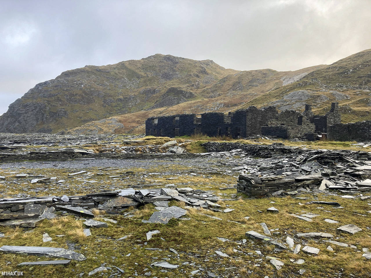
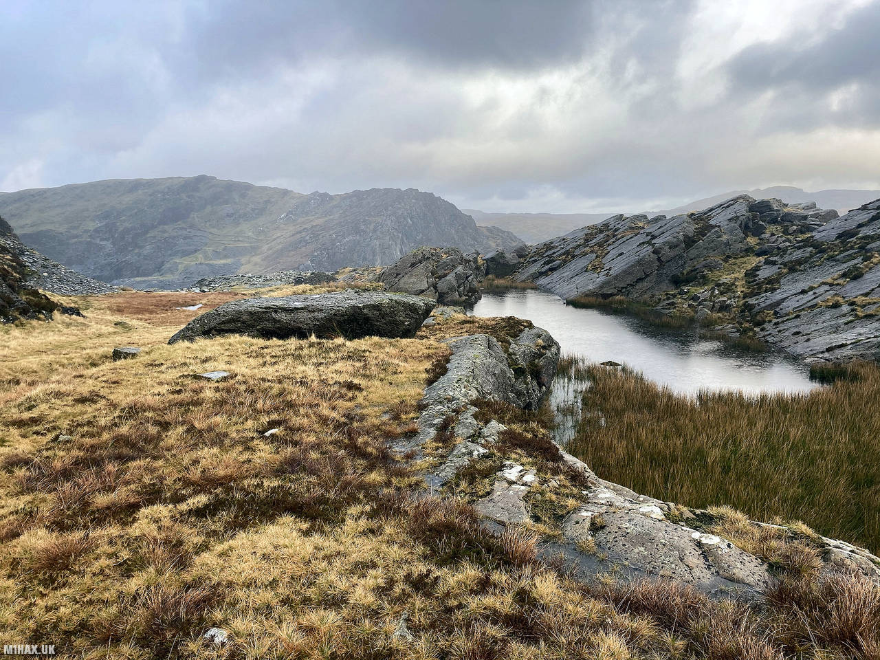
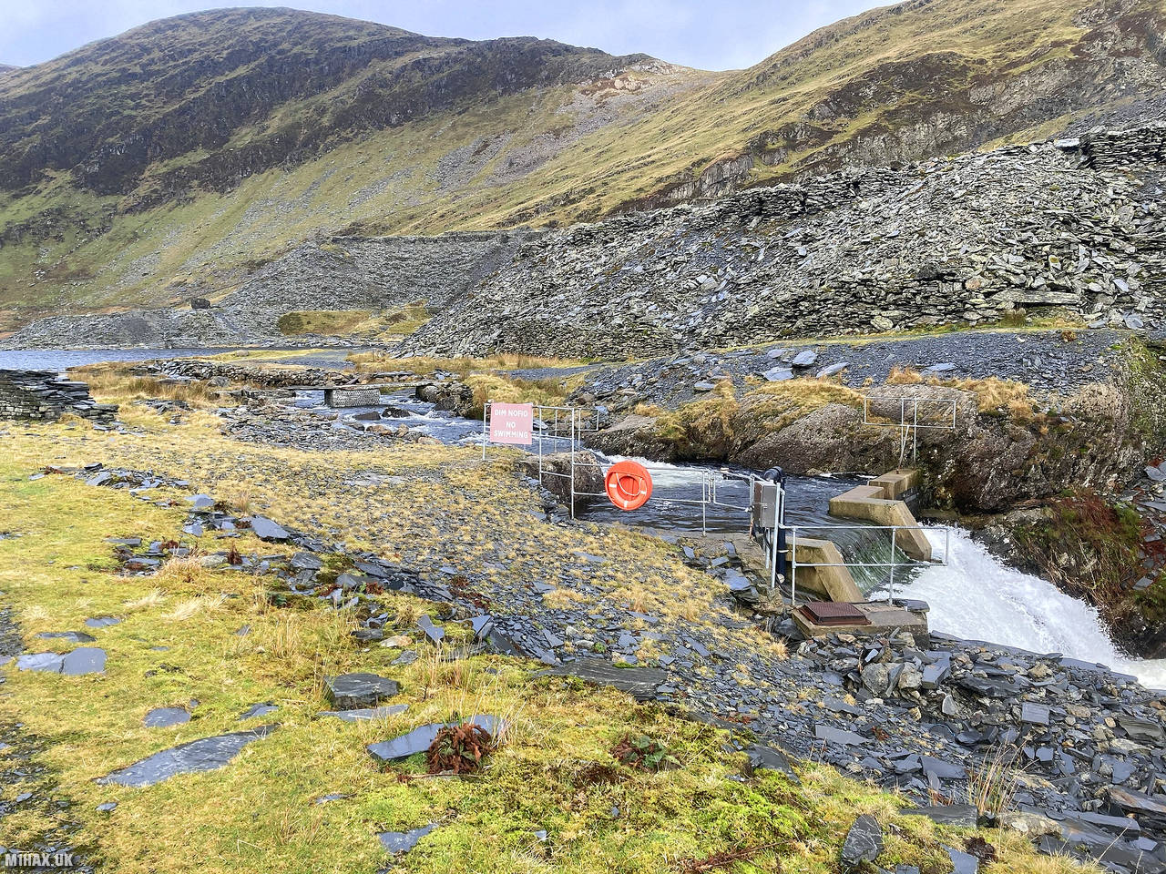
Moelwyn Mawr, in Snowdonia, North Wales, is part of the Moelwynion range. Its summit offers stunning views over the Vale of Ffestiniog. The area has a rich history of slate quarrying, with notable quarries like Croesor, Rhosydd, Conglog, and Wrysgan in the area, with Moelwyn Slate Quarry on the hill’s slopes.
I undertook this walk on a cold and damp Saturday in December. My route of choice was a circular walk from the village of Tan-y-grisiau, having previously summited the nearby Allt Fawr earlier in the day.
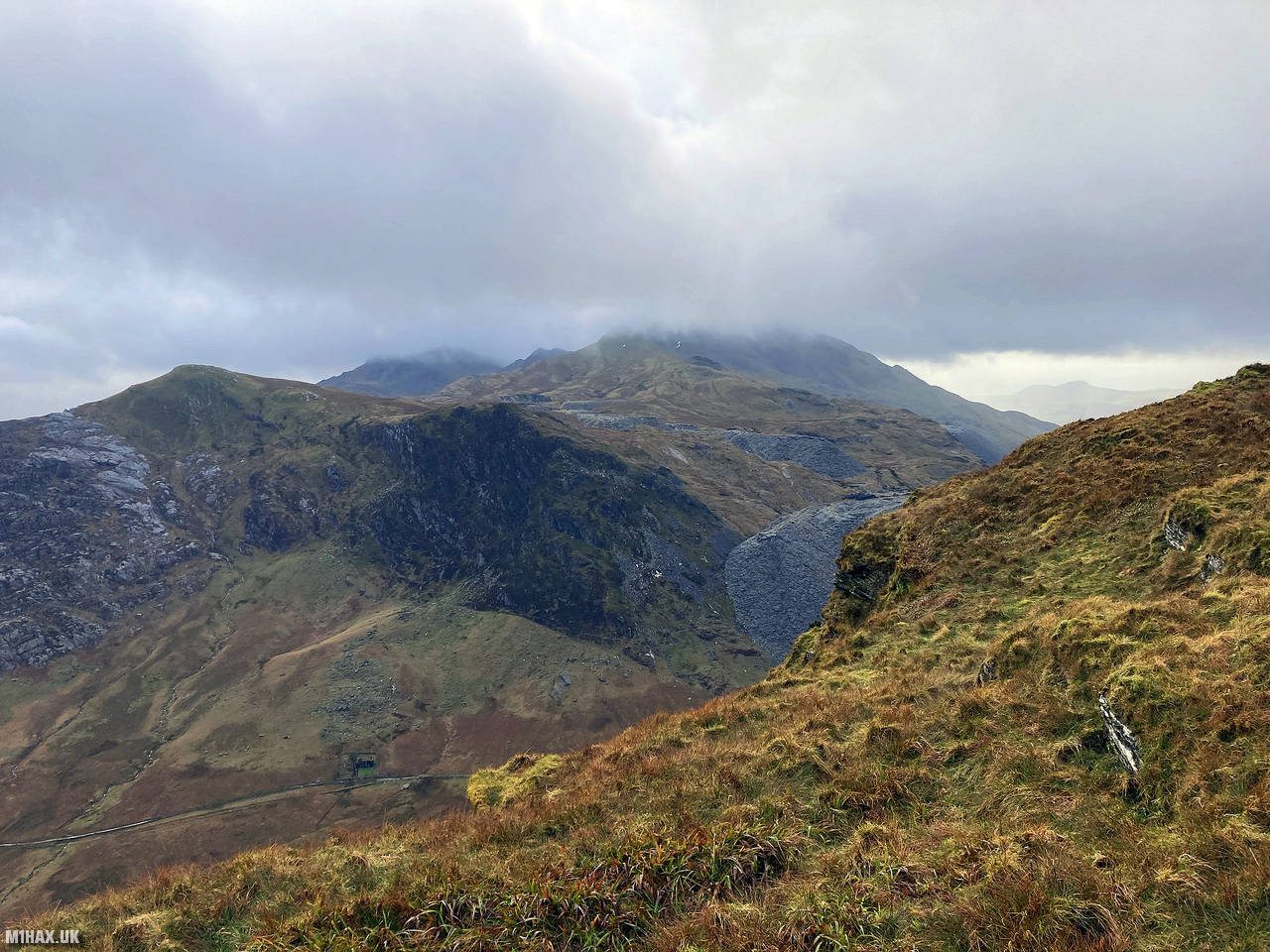
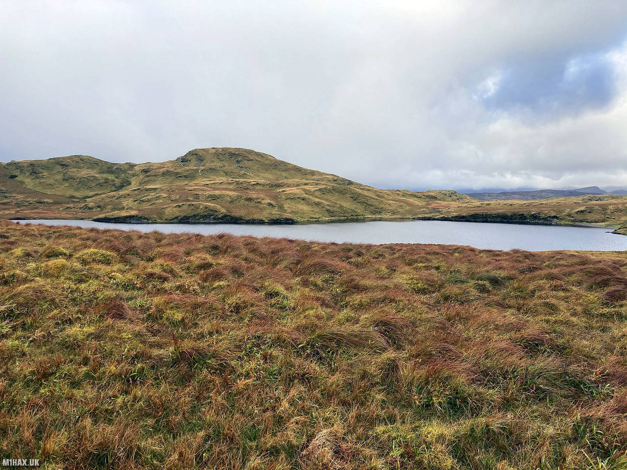
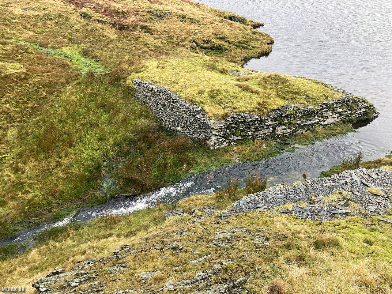
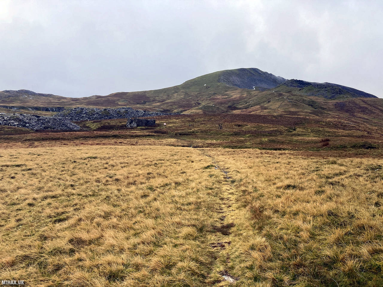
Heading west off the summit of Allt Fawr towards Llyn Conglog, I followed a feint but distinguishable grassy path towards a tricky river crossing that required commitment to jump across.
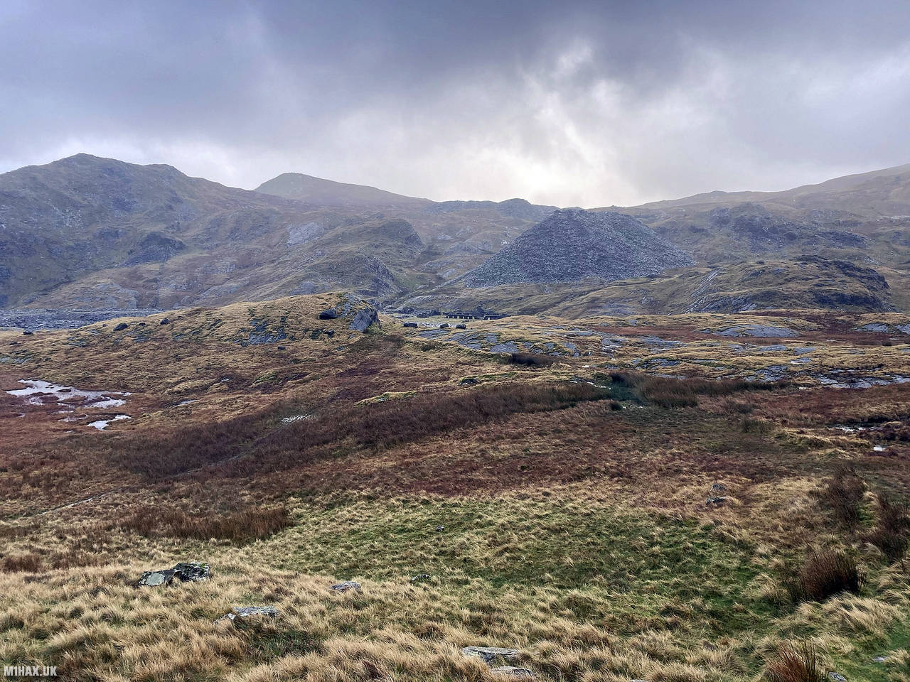
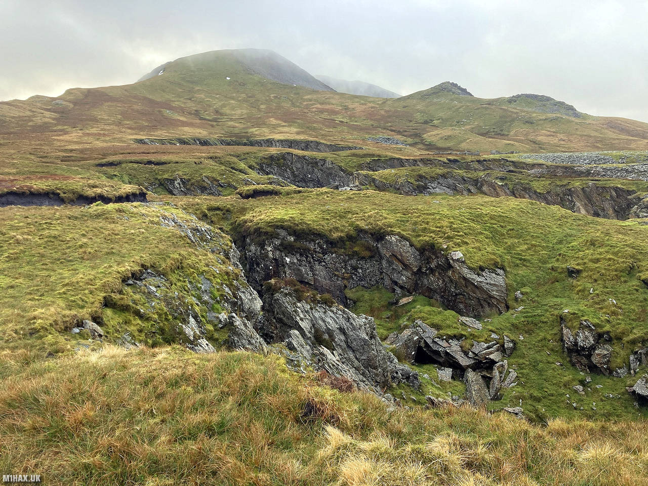
I continued towards Clogwyn Brith and on to the substantial quarry remains in the valley between the two mountains. I didn’t see any walkers around the quarry buildings which is usually a popular goal for people walking up from the waterfall car park near the village. In fact, the only people I saw all afternoon were some local youths on scrambler motorbikes climbing up towards Allt Fawr.
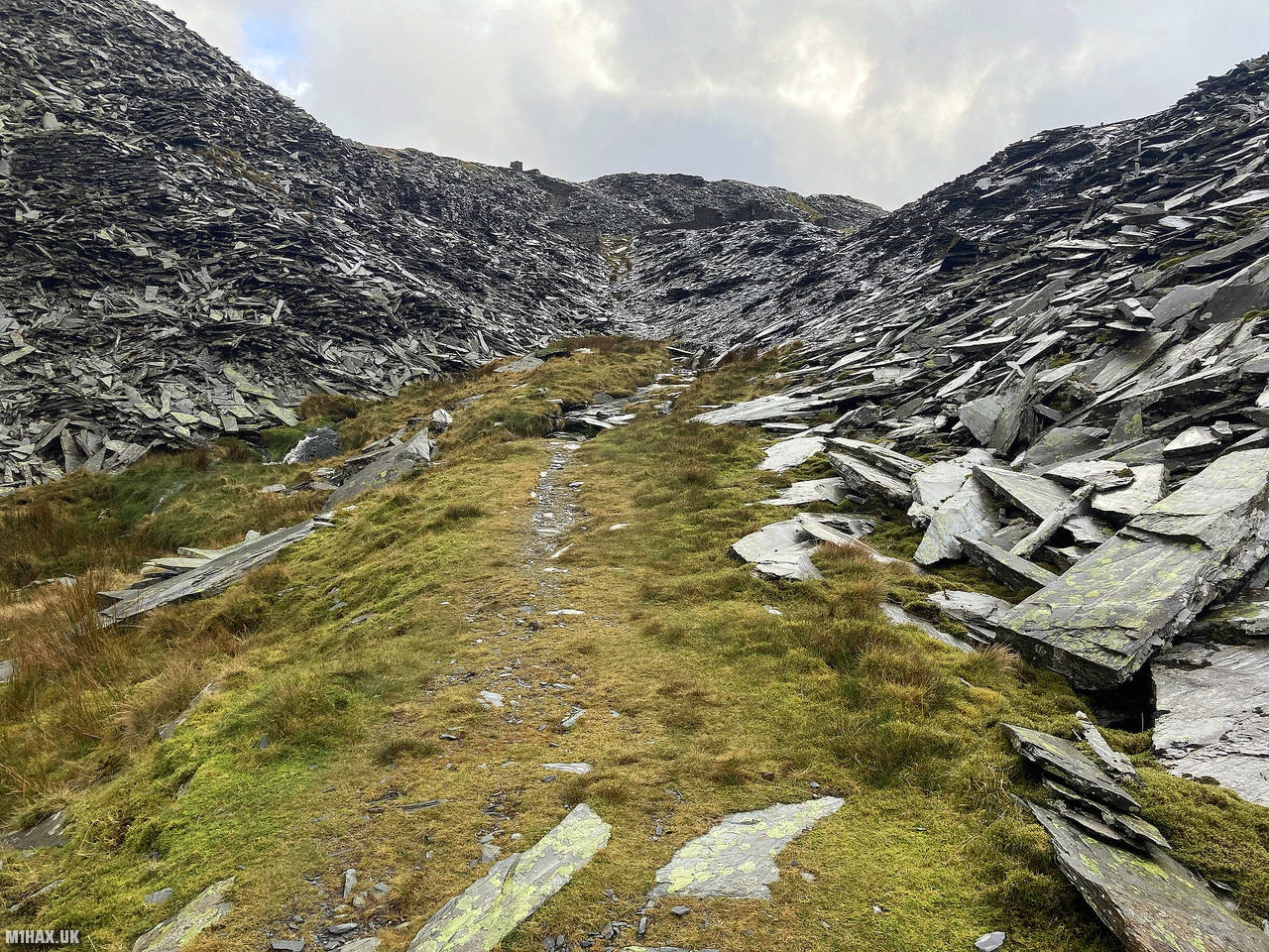
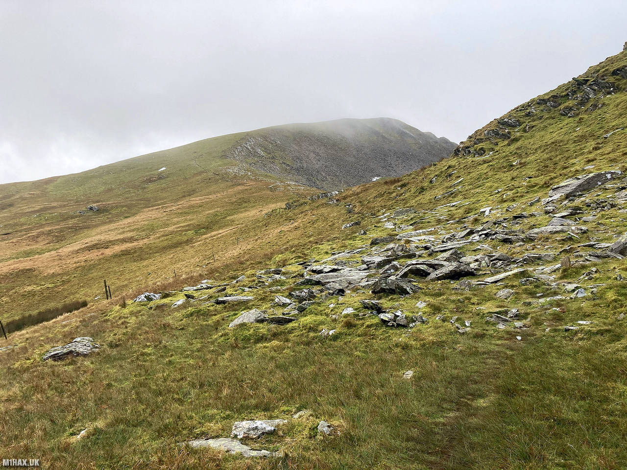
My route continued on starting the climb towards Moelwyn Mawr. Again, there is a path of sorts to follow here, and care is needed to avoid old mine shafts in the immediate vicinity.
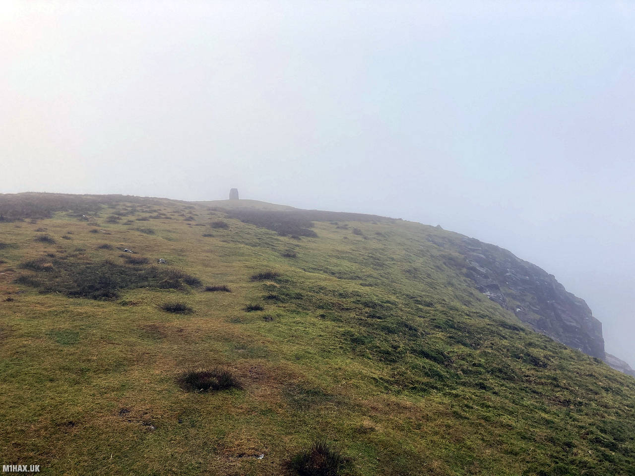
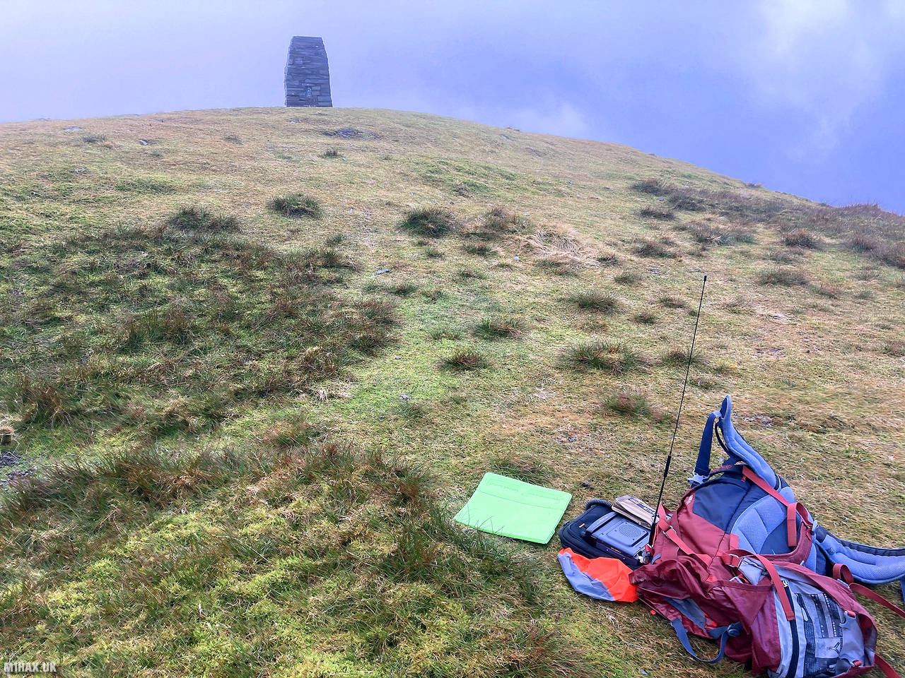
Following the ridge up the northern flank of the mountain it became very windy. Eventually a substantial slate cairn came in to view and I soon arrived at the summit whereby it promptly began to rain.
I operated my radio from within the confines of my storm shelter. I easily made a good number of contacts in ten minutes, qualifying the summit for the SOTA scheme and earning 9 points.
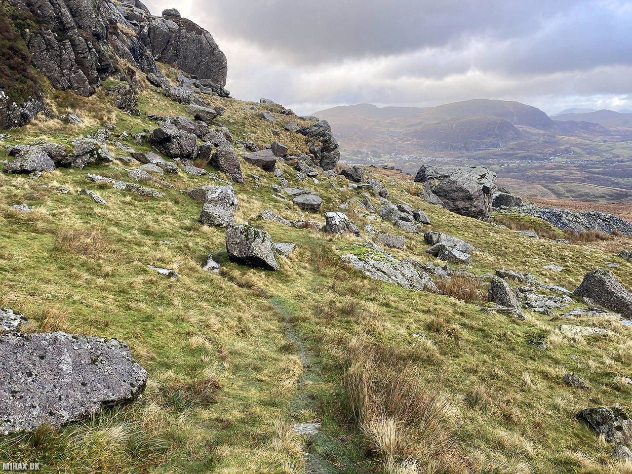
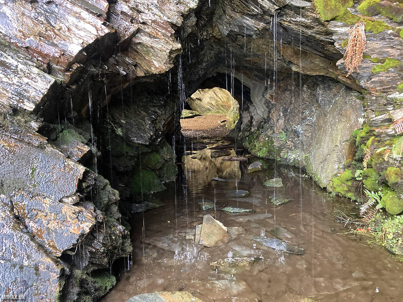
After packing up, I continued my circular walking route down towards Moel Yr Hydd and then on to the car parked by the waterfall, spotting a small cave along the way.
Some competent navigation skills will be required to avoid mining dangers and cross rivers at the best locations, but this is a fantastic ~14km walking route with spectacular views on a clear day and well worth a visit. An alternative route possibility would be to park on the main road in a large layby to the north east of Allt Fawr.
Photos
Below are some photographs taken during my activation of Moelwyn Mawr on Saturday 12th December, 2020.


Walking Route for Moelwyn Mawr
The interactive map below shows my GPS track taken to the SOTA activation zone for Moelwyn Mawr. Note that this summit was activated as part of a multi-summit hike and the map below shows the full route taken on the day. The GW/NW-016 summit area is marked on the map with a blue pin icon.
You can download the route shown above as a GPX file suitable for use with most GPS devices. This file is provided for information only, to support your own walk planning and research (it may contain navigation errors, detours and/or safety hazards). The route downloads provided here are governed by the Creative Commons BY-NC-SA 4.0 licence.
Station Log
I logged the following 13 amateur radio contacts operating as MW1HAX/P from GW/NW-016 Moelwyn Mawr on Saturday 12th December, 2020 (all times shown are UTC):
| Time | Callsign | Band | Mode | Notes |
|---|---|---|---|---|
| 13:14 | GW4ZPL | 2m | FM | John, 5/9 |
| 13:16 | G7OEM | 2m | FM | Tony, 5/9 |
| 13:17 | G4MYU | 2m | FM | Art, 5/7 |
| 13:18 | 2E0SQK | 2m | FM | Paul, 5/9 |
| 13:19 | G0LWU | 2m | FM | Andrew, 5/9 |
| 13:20 | GW0JAI | 2m | FM | Glyn, 5/5 |
| 13:20 | 2E0LKC | 2m | FM | Peter, 5/9 |
| 13:20 | 2E0LMD | 2m | FM | Anne, 5/9 |
| 13:21 | MW0WMW/M | 2m | FM | Mike, 5/9 |
| 13:22 | G0MHF | 2m | FM | John, 5/9 |
| 13:22 | GW4XXF | 2m | FM | Bruce, 5/2 |
| 13:23 | 2E0AGB | 2m | FM | Allen, 5/9 |
| 13:24 | MW6AEV | 2m | FM | Llew, 5/9 |
In the notes field I will usually log the other operator’s name and the signal report they provided. In accordance with the Summits on the Air rules, I do not make a log entry where a complete exchange of callsigns and signal reports was unsuccessful.
Additional Information
The following resources may be helpful to walkers, mountaineers and SOTA activators interested in Moelwyn Mawr:
- Sotl.as Summit Page for GW/NW-016 Moelwyn Mawr.
- Hill Bagging UK Summit Page for Moelwyn Mawr.
- Google Maps Page for Moelwyn Mawr.
- Wikipedia entry for Moelwyn Mawr.
If you found this content valuable, why not Buy Me a Coffee?