Banc Llechwedd-mawr - GW/MW-007 SOTA (2021)

Summits on the Air Activation Report
Activation Date: Sunday 13th June, 2021.
Activator(s): Richard M1HAX.
Summit: Banc Llechwedd-mawr, Mid Wales, Wales.
Summit ID: SOTA reference GW/MW-007 (2 points).
Summit Height: 560m elevation, 161m prominence.
Summit Location: Lat./Long. 52.49269, -3.80513. Maidenhead Grid IO82cl.
Also Activated: GW/MW-001, GW/MW-008.
Distance: 14.9km travelled with 883m of ascent.
Difficulty: SAC Grade T3.(?)
Elapsed Time: 6hr 10m (incl. operating and other summit(s) on the same hike).
Weather: 25°C, 6 mph SSW wind, 61% humidity.
Radio Equipment: Yaesu FTM100D, MFJ-1714, Zippy 4200mAh 4S LiFePo4.
Callsign Used: MW1HAX/P.
Contacts: 5 (2m FM).
Trip Notes
Banc Llechwedd-mawr is a modest hill in the Pumlumon range of Mid Wales, standing at 560 metres with a prominence of 161 metres. The name roughly translates as “Great Slate Bank,” and the hill forms part of the watershed between the Severn and Wye river systems. Though less impressive than neighboring Pen Pumlumon Fawr, it offers excellent views across this remote part of Wales.
This summit was the second peak in my 15-kilometre circular walk, which also included Pen Pumlumon Fawr and Drosgol, yielding a total of 10 SOTA points. Banc Llechwedd-mawr represented the middle portion of what proved to be a challenging but rewarding day’s hiking on a hot summer’s day.
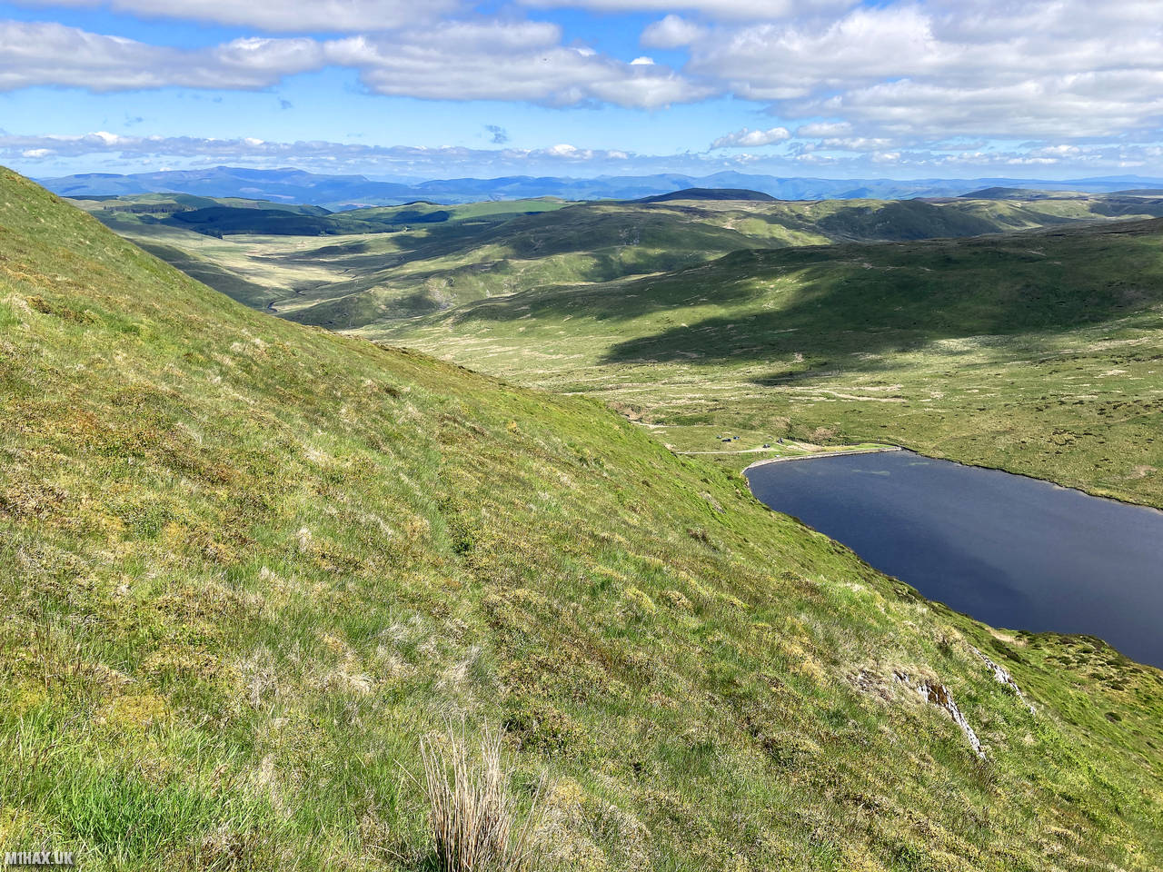
I approached this hill from the summit of Pen Pumlumon Fawr, descending north towards Pumlumon Fach with the picturesque Llyn Llygad Rheidol (a small mountain lake) coming into view ahead. I noticed a group of wild campers enjoying a swim in the lake on this warm summer day - a reminder that despite the remoteness, these mountains still attract outdoor enthusiasts.
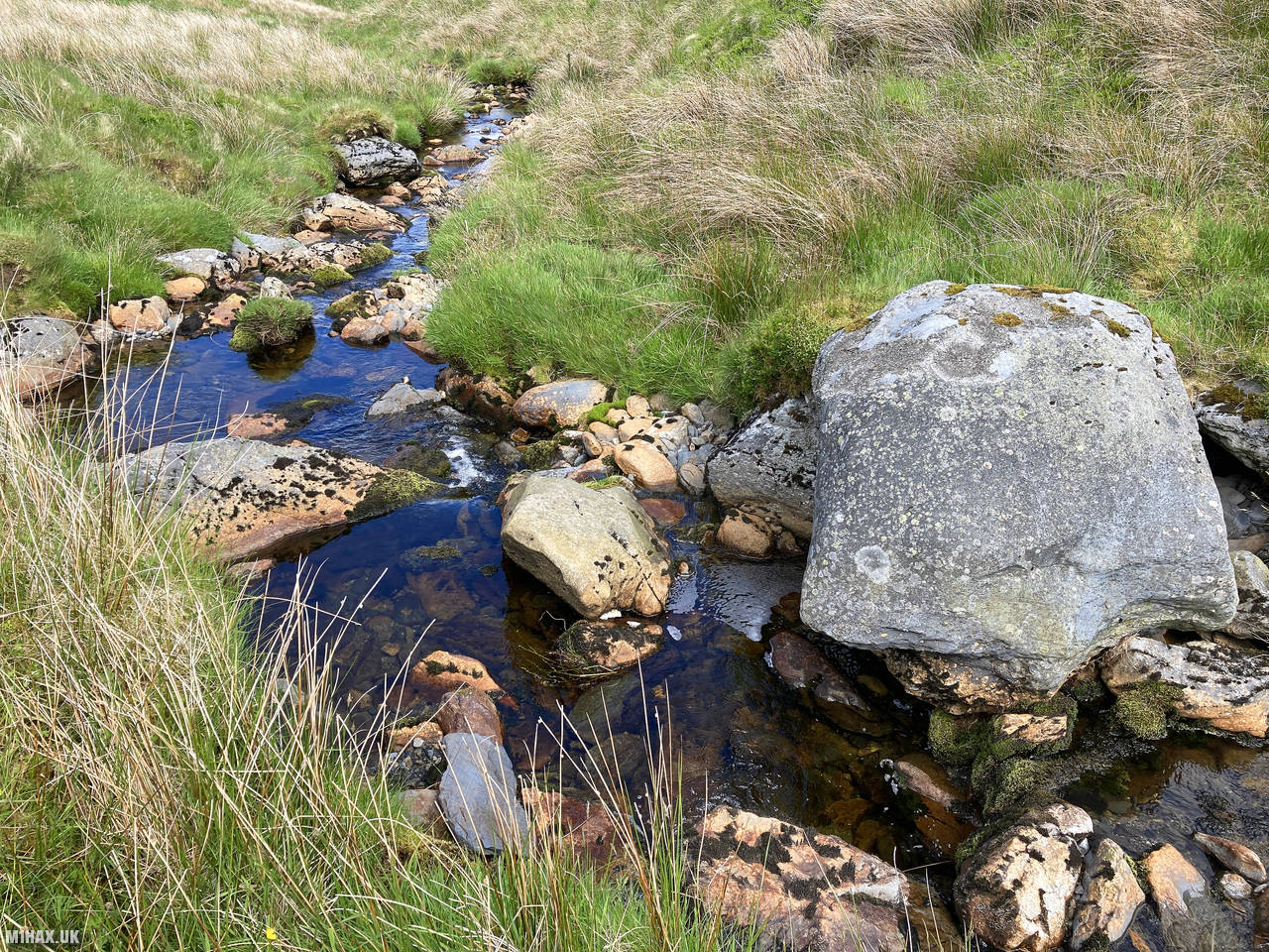
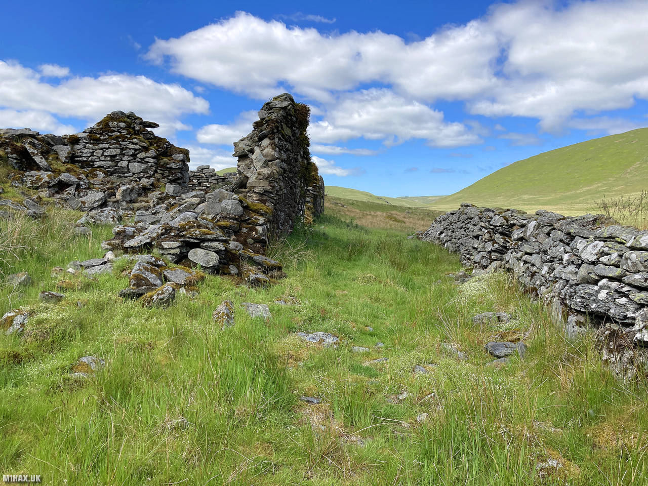
The route continued with an easy river crossing, heading towards the confluence of Nant-y-llyn and Afon Hengawn. Along the way, I passed some interesting historical building ruins - remnants of the area’s mining heritage.
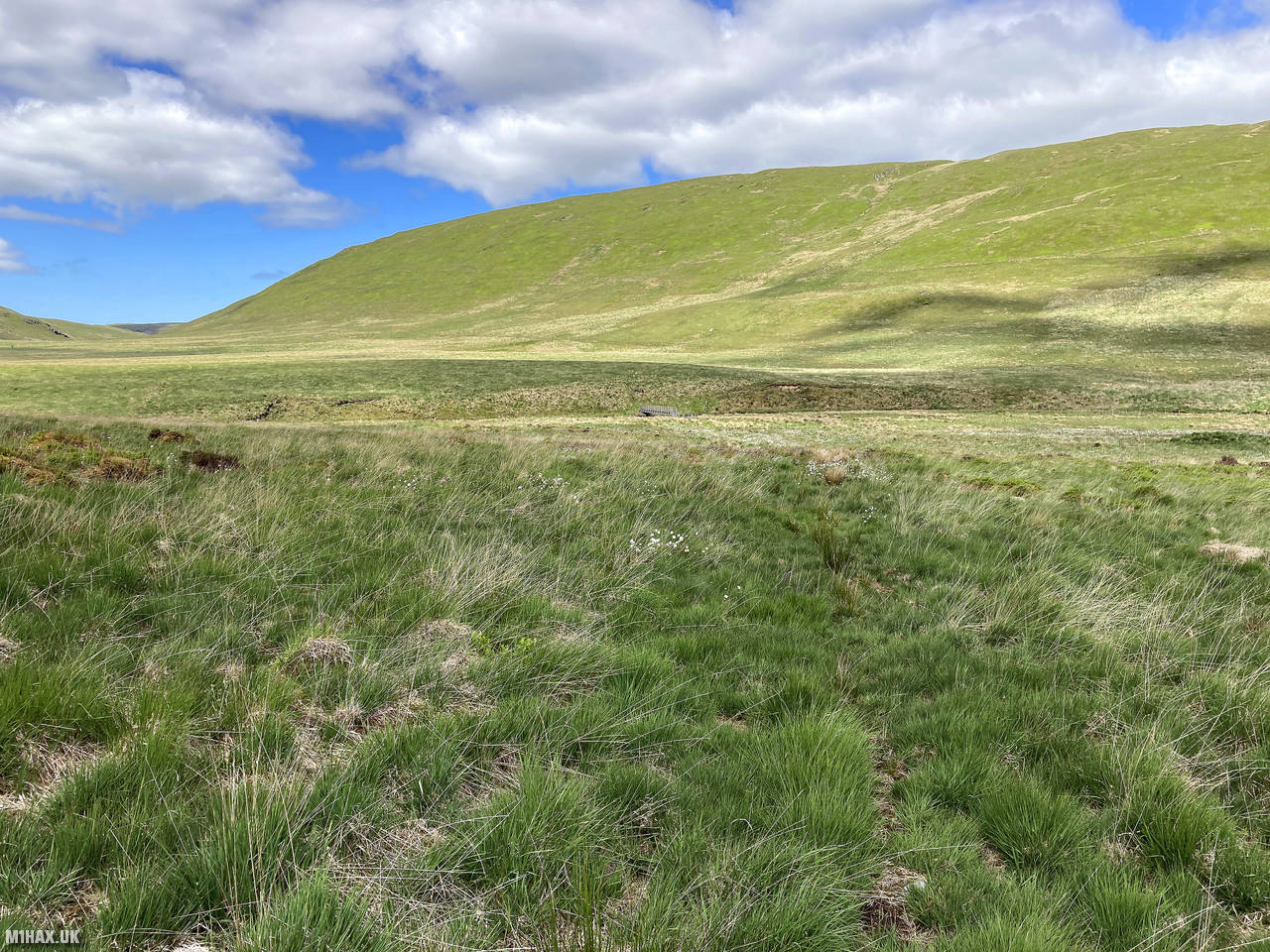
After crossing the valley floor, I navigated across grassy terrain with few established paths. This section was quite wet underfoot, but fortunately, footbridges were available at key stream crossings, preventing what could otherwise have been challenging wades.
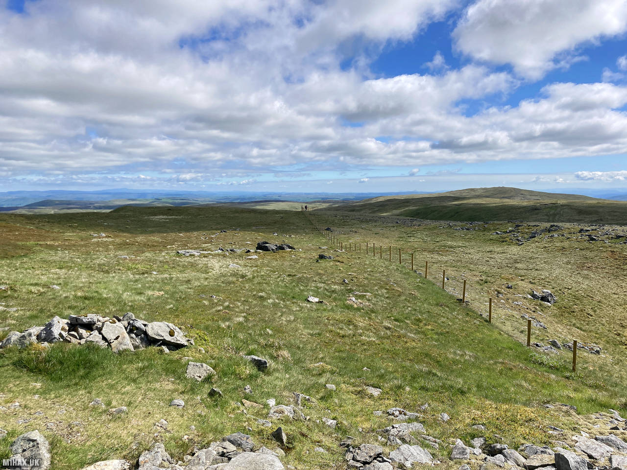
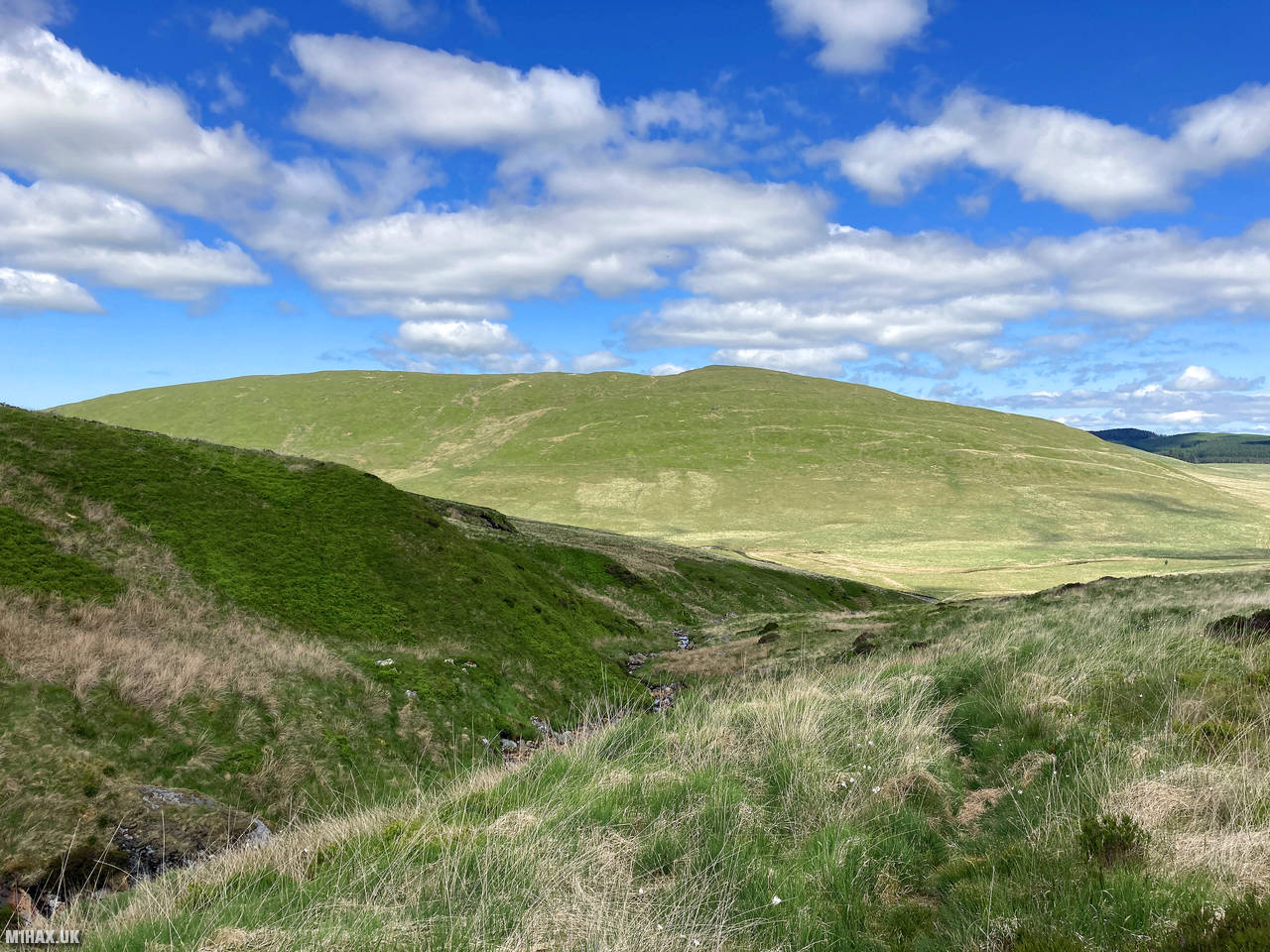
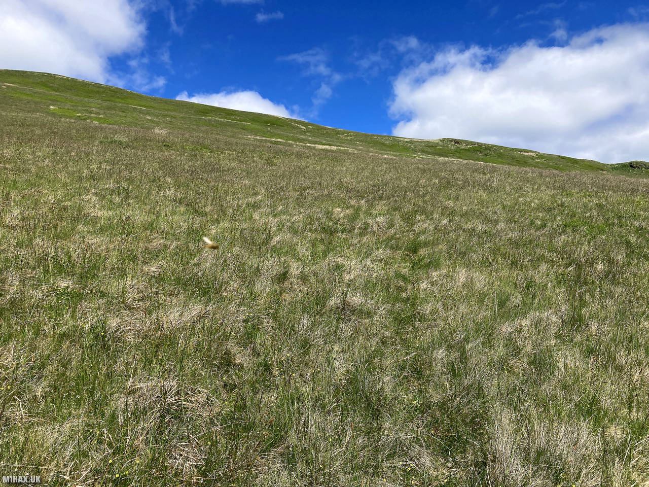
From the valley, I directly ascended the grassy southeastern slopes of Banc Llechwedd-mawr, heading toward the summit. Without a defined path, this was something of a “choose your own route” ascent across tussocky grass, requiring some careful foot placement.
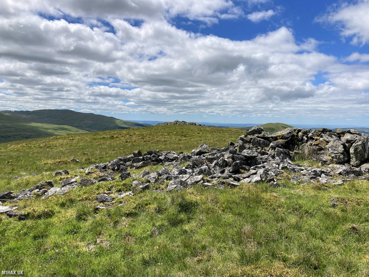
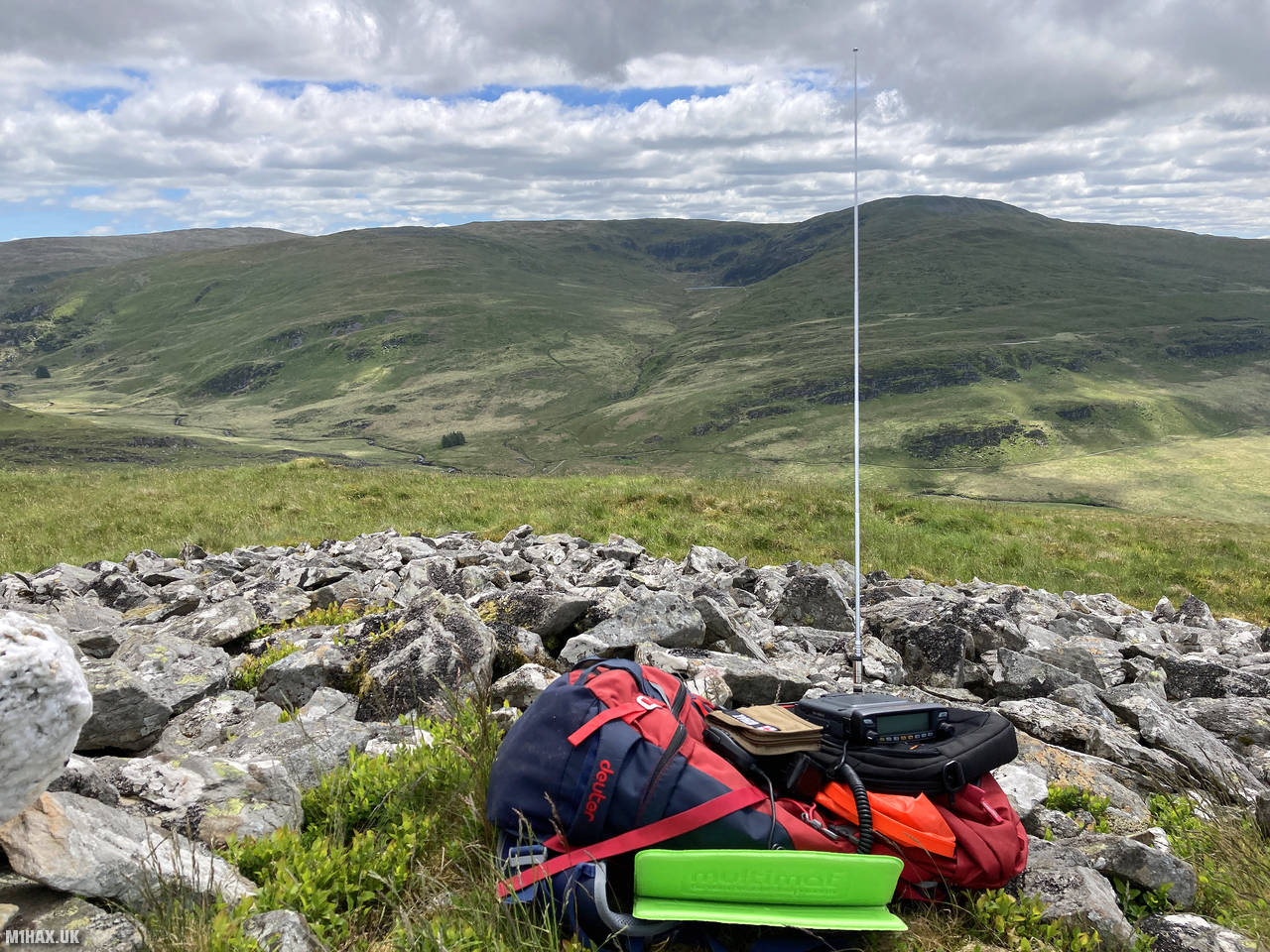
The summit itself is marked by a small pile of stones, a modest indicator compared to the trig point on Pen Pumlumon Fawr. Nevertheless, on this sunny day, the views were excellent, with panoramic vistas across the surrounding hills and valleys.
Setting up my Yaesu FTM100D and MFJ vertical antenna at the summit cairn, I performed a quick activation on the 2-metre band. Contacts were less forthcoming than on the much higher hill of Pen Pumlumon Fawr, but I still managed to make five good QSOs. These included a summit-to-summit with Allan GW4VPX/P who was operating from Creigiau Gleision (GW/NW-028).
After achieving contacts to qualify the summit for SOTA points, I packed away my equipment and prepared to continue onwards to Drosgol, the final summit of my day hike circuit.
Photos
Below are some photographs taken during my activation of Banc Llechwedd-mawr on Sunday 13th June, 2021.


Walking Route for Banc Llechwedd-mawr
The interactive map below shows my GPS track taken to the SOTA activation zone for Banc Llechwedd-mawr. Note that this summit was activated as part of a multi-summit hike and the map below shows the full route taken on the day. The GW/MW-007 summit area is marked on the map with a blue pin icon.
You can download the route shown above as a GPX file suitable for use with most GPS devices. This file is provided for information only, to support your own walk planning and research (it may contain navigation errors, detours and/or safety hazards). The route downloads provided here are governed by the Creative Commons BY-NC-SA 4.0 licence.
Station Log
I logged the following 5 amateur radio contacts operating as MW1HAX/P from GW/MW-007 Banc Llechwedd-mawr on Sunday 13th June, 2021 (all times shown are UTC):
| Time | Callsign | Band | Mode | Notes |
|---|---|---|---|---|
| 11:36 | MW0OFA | 2m | FM | Frank, 5/9 |
| 11:38 | GW4VPX/P | 2m | FM | Allan, 5/5, S2S GW/NW-028 |
| 11:39 | MW0VLO | 2m | FM | Barry, 5/9 |
| 11:40 | GW8GLW | 2m | FM | Irfon, 5/9 |
| 11:42 | 2W0LLJ | 2m | FM | Jenny, 5/9 |
In the notes field I will usually log the other operator’s name and the signal report they provided. In accordance with the Summits on the Air rules, I do not make a log entry where a complete exchange of callsigns and signal reports was unsuccessful.
Additional Information
The following resources may be helpful to walkers, mountaineers and SOTA activators interested in Banc Llechwedd-mawr:
- Sotl.as Summit Page for GW/MW-007 Banc Llechwedd-mawr.
- Hill Bagging UK Summit Page for Banc Llechwedd-mawr.
- Google Maps Page for Banc Llechwedd-mawr.
- Wikipedia entry for Banc Llechwedd-mawr.
- 360° Panorama near summit of GW/MW-007 Banc Llechwedd-mawr.
If you found this content valuable, why not Buy Me a Coffee?