Burton Hill - G/WB-020 SOTA (2021)

Summits on the Air Activation Report
Activation Date: Friday 18th June, 2021.
Activator(s): Richard M1HAX.
Summit: Burton Hill, Welsh Borders, England.
Summit ID: SOTA reference G/WB-020 (1 point).
Summit Height: 294m elevation, 196m prominence.
Summit Location: Lat./Long. 52.13408, -2.88595. Maidenhead Grid IO82nd.
Distance: 4.4km travelled with 80m of ascent.
Difficulty: SAC Grade T1.(?)
Elapsed Time: 1hr 15m (including operating).
Weather: 22°C, 7 mph SW wind, 68% humidity.
Radio Equipment: Yaesu FTM100D, MFJ-1714, Zippy 4200mAh 4S LiFePo4.
Callsign Used: M1HAX/P.
Contacts: 4 (2m FM).
Trip Notes
Burton Hill is a modest summit located in the Welsh Borders region of Herefordshire, England. Rising to 294 metres with a prominence of 196 metres, it’s classified as a Marilyn due to its prominence exceeding 150 metres. This rural hill offers peaceful countryside views and is largely covered in mixed woodland, making it a pleasant destination for a short walk.
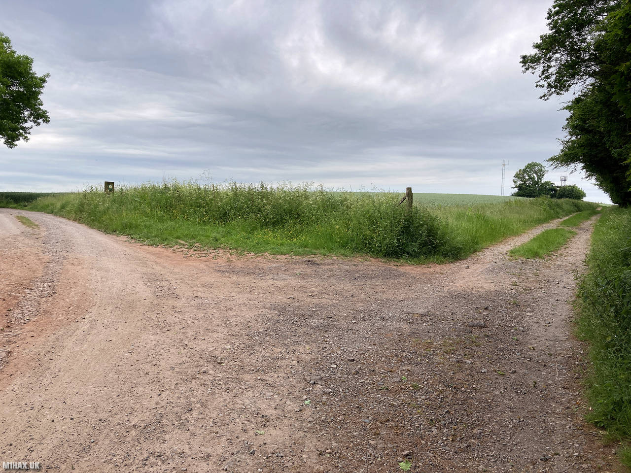
I approached the summit from the east, parking at Ostey Wood where there’s limited verge space for perhaps two cars before the road bends towards Hill Top Farm. This parking spot provides a convenient starting point for a relatively gentle ascent.
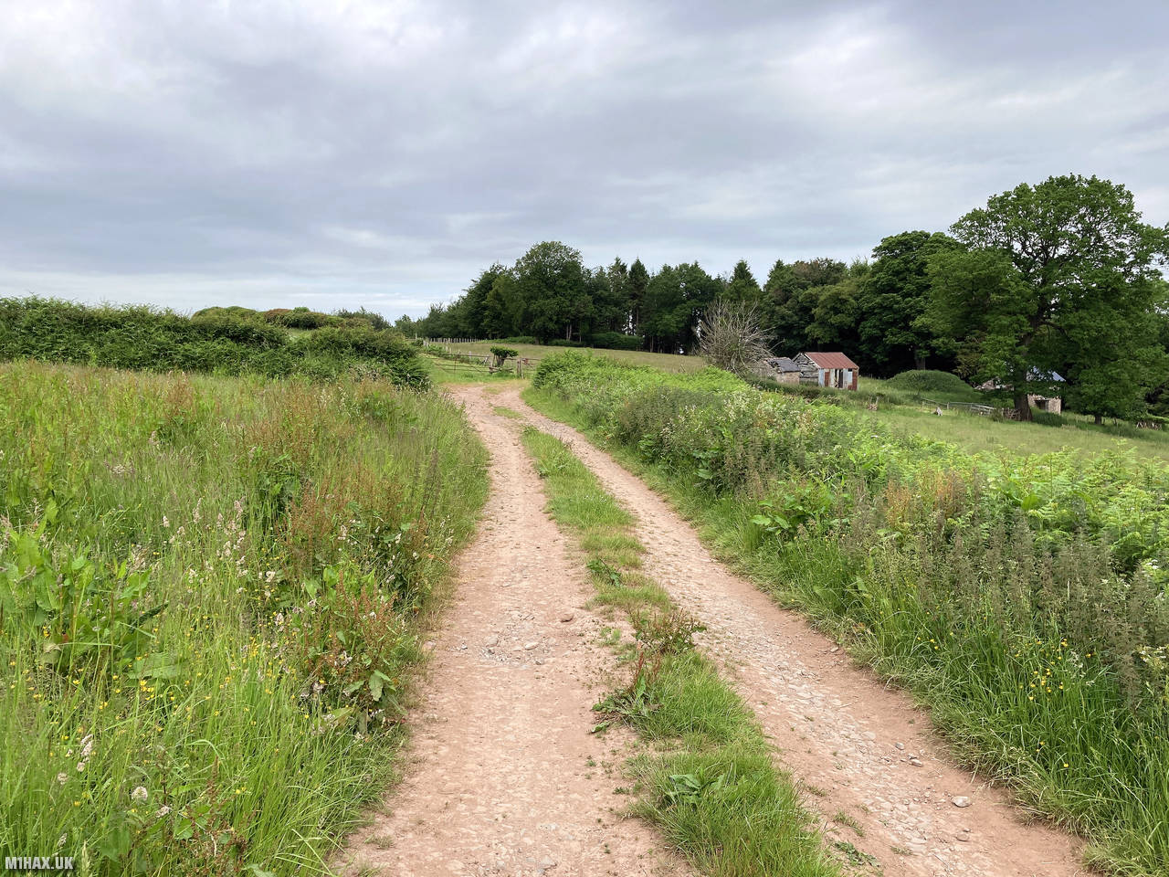
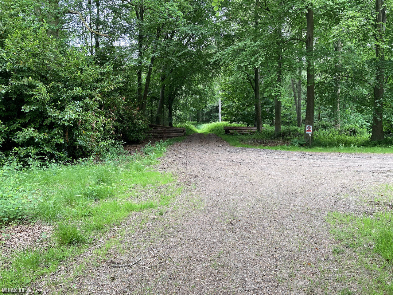
From the parking area, I followed a public right of way heading west across the side of several farm fields. The path is well-established but can be muddy after wet weather. After crossing the fields, the route arrives at the edge of woodland that covers much of the summit area.
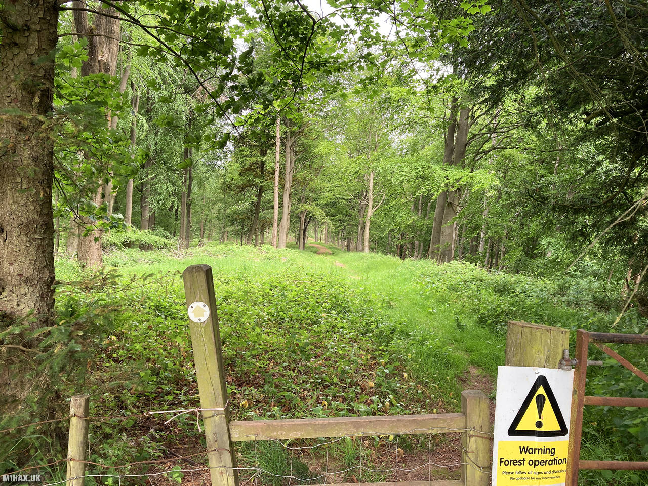
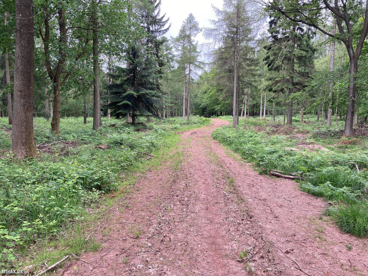
Passing through a gate into the wood, I continued along a forestry access track which provides straightforward linear navigation towards the summit. Burton Hill has a notably flat summit plateau, which results in quite an extensive SOTA activation zone. The mixed deciduous woodland creates a pleasant, shaded environment for walking, particularly welcome on this warm summer day.
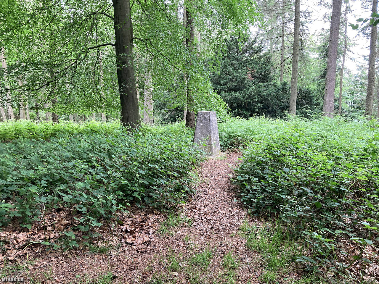
Eventually, I reached the trig point which is tucked slightly away from the main path within the trees. This concrete pillar marks the highest point of the hill at 294 metres above sea level.
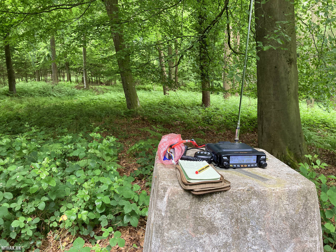
Setting up my radio equipment near the trig point, I operated using my Yaesu FTM100D mobile transceiver, running at 50 watts. The combination of woodland cover and relatively low altitude makes for challenging VHF operating conditions. Despite this, I managed to make four local contacts on the 2-metre band in about ten minutes, sufficient to qualify the summit for SOTA.
After completing the activation, I retraced my steps back to the car. The entire walk covered 4.4 kilometres with just 80 metres of ascent, making it a relatively easy outing suitable for most ability levels. The hill has the character of a dog walking woodland rather than a mountain.
For those looking for a shorter route, there is an alternative approach from the B4230 road to the northwest of the summit. However, this pleasant circular walk from the east offers a more satisfying hiking experience. If planning to activate this summit for SOTA, I would recommend bringing HF equipment rather than relying solely on VHF, as the woodland and modest elevation significantly limits VHF performance.
Photos
Below are some photographs taken during my activation of Burton Hill on Friday 18th June, 2021.


Walking Route for Burton Hill
The interactive map below shows my GPS track taken to the SOTA activation zone for Burton Hill. The G/WB-020 summit area is marked on the map with a blue pin icon.
You can download the route shown above as a GPX file suitable for use with most GPS devices. This file is provided for information only, to support your own walk planning and research (it may contain navigation errors, detours and/or safety hazards). The route downloads provided here are governed by the Creative Commons BY-NC-SA 4.0 licence.
Station Log
I logged the following 4 amateur radio contacts operating as M1HAX/P from G/WB-020 Burton Hill on Friday 18th June, 2021 (all times shown are UTC):
| Time | Callsign | Band | Mode | Notes |
|---|---|---|---|---|
| 08:57 | M0JLA | 2m | FM | Rod, 4/1 |
| 09:01 | M5RJC | 2m | FM | Rick, 5/9 |
| 09:03 | 2E0RYR | 2m | FM | Roger, 5/9 |
| 09:07 | 2W0OCY | 2m | FM | Paul, 5/7 |
In the notes field I will usually log the other operator’s name and the signal report they provided. In accordance with the Summits on the Air rules, I do not make a log entry where a complete exchange of callsigns and signal reports was unsuccessful.
Additional Information
The following resources may be helpful to walkers, mountaineers and SOTA activators interested in Burton Hill:
- Sotl.as Summit Page for G/WB-020 Burton Hill.
- Hill Bagging UK Summit Page for Burton Hill.
- Google Maps Page for Burton Hill.
- Wikipedia entry for Burton Hill.
If you found this content valuable, why not Buy Me a Coffee?