Cadair Idris - GW/NW-009 SOTA (2021)

Summits on the Air Activation Report
Activation Date: Tuesday 15th June, 2021.
Activator(s): Richard M1HAX.
Summit: Cadair Idris, North Wales, Wales.
Summit ID: SOTA reference GW/NW-009 (8 points).
Summit Height: 893m elevation, 608m prominence.
Summit Location: Lat./Long. 52.69962, -3.90878. Maidenhead Grid IO82bq.
Distance: 9.1km travelled with 756m of ascent.
Difficulty: SAC Grade T2.(?)
Elapsed Time: 4hr 45m (including operating).
Weather: 20°C, 12 mph SW wind, 55% humidity.
Radio Equipment: Yaesu FTM100D, MFJ-1714, Zippy 8400mAh 4S LiFePo4. Yaesu VX6, Diamond SRH770S.
Callsign Used: MW1HAX/P.
Contacts: 40 (2m FM, 70cm FM).
Trip Notes
Cadair Idris, standing at 893 metres in Snowdonia National Park, is one of Wales’s most iconic mountains. Its summit, Penygadair, offers sweeping views over the surrounding landscape, and the glacial lake Llyn Cau adds to its dramatic beauty. According to legend, Idris the giant used the mountain as his throne, and those who sleep on the summit are said to wake up either mad or as poets.
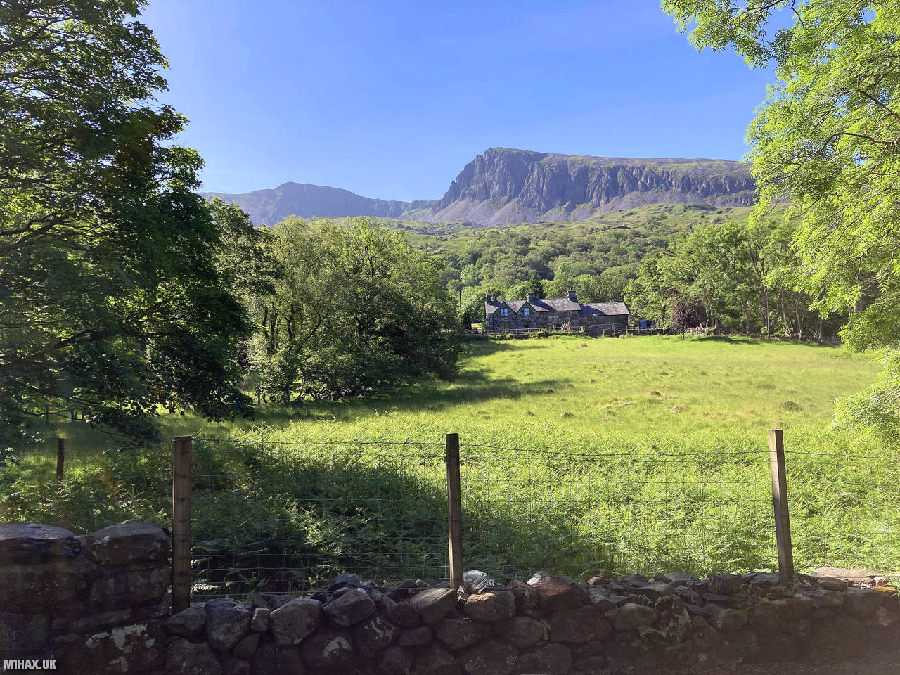
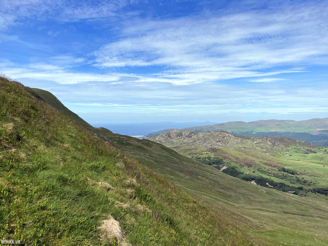
For this ascent of Cadair Idris I chose to climb via the Pony Path to the northwest of the summit. This differs from my previous activation where I ascended from the southern side using the Minffordd Path in winter conditions. The car park near Llyn Gwernan was almost full when I arrived early in the morning, highlighting this mountain’s popularity, especially on fine summer days.
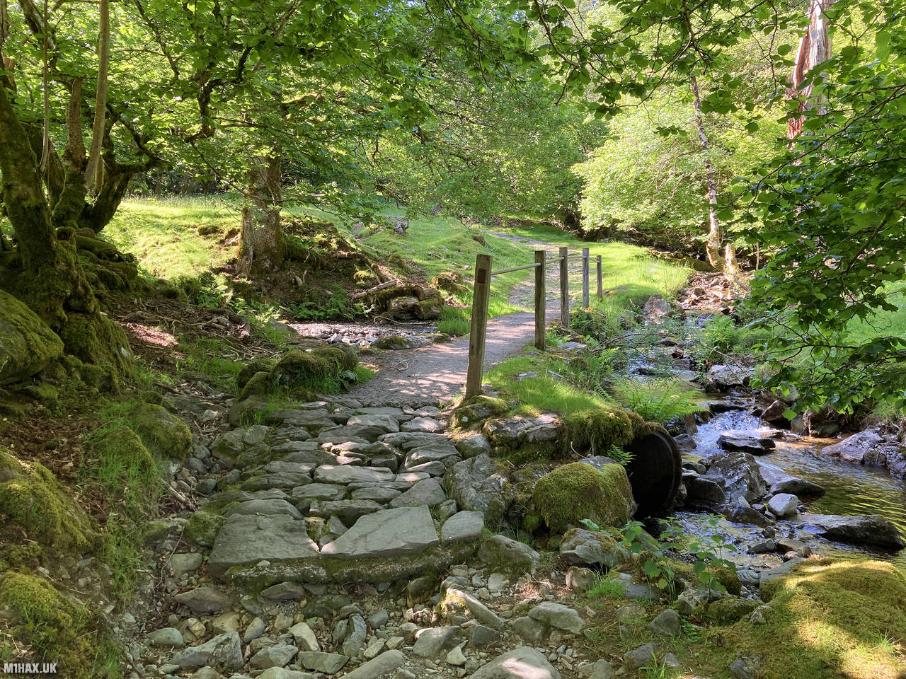
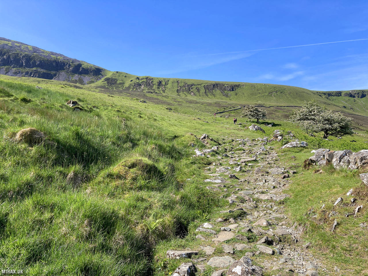
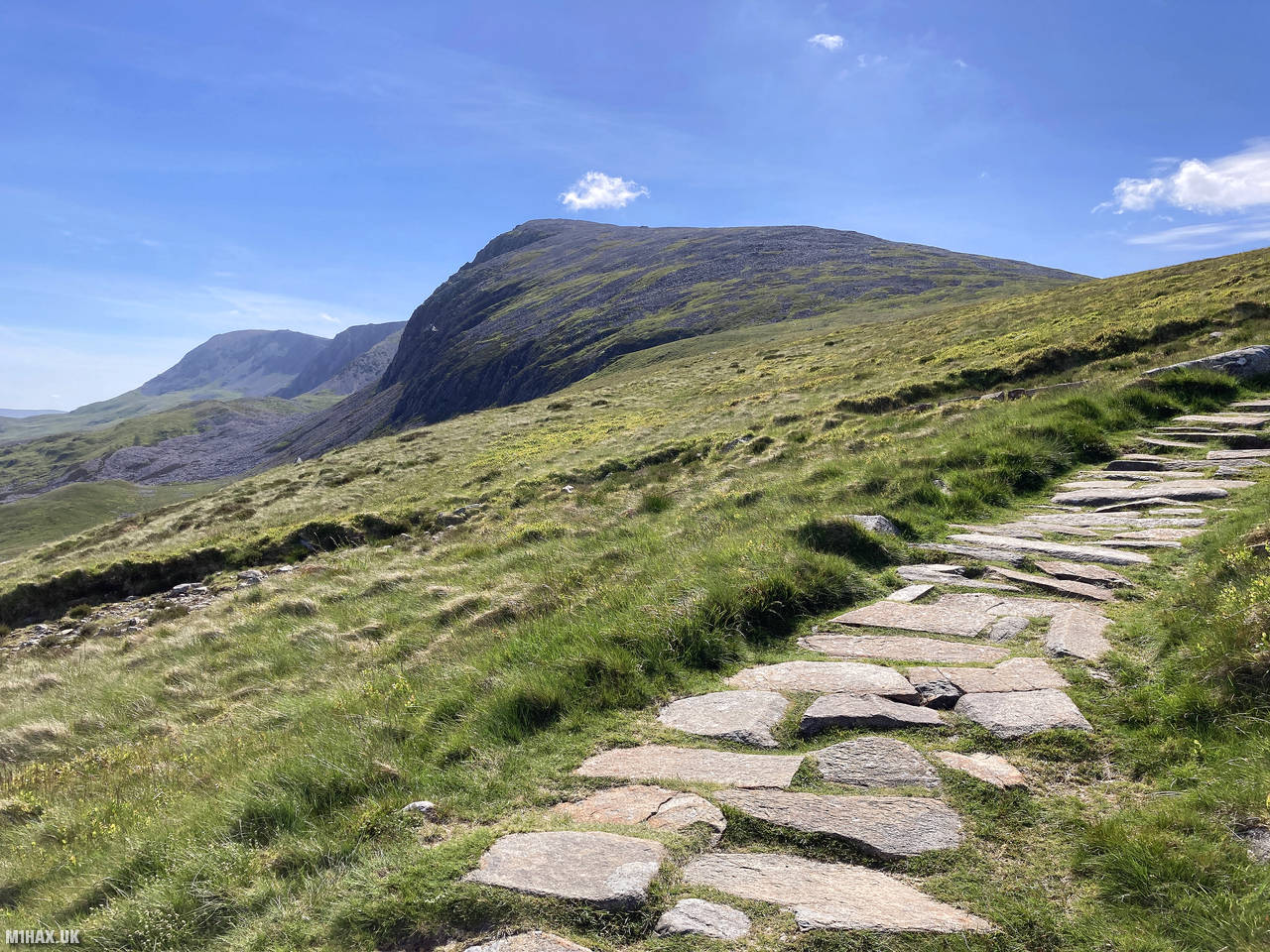
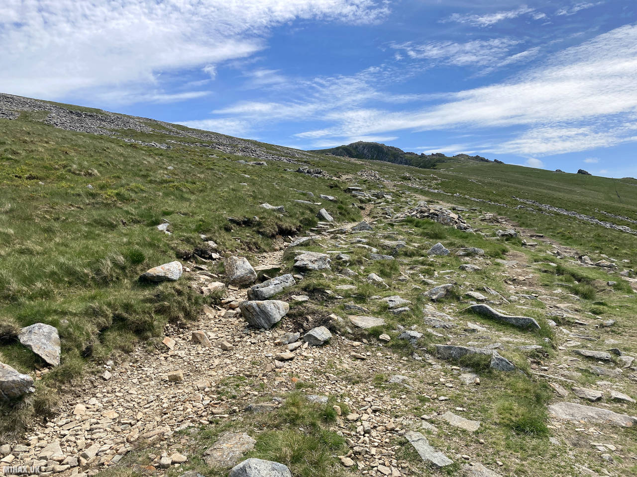
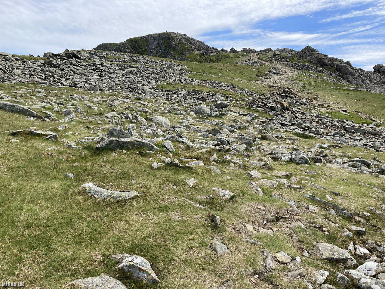
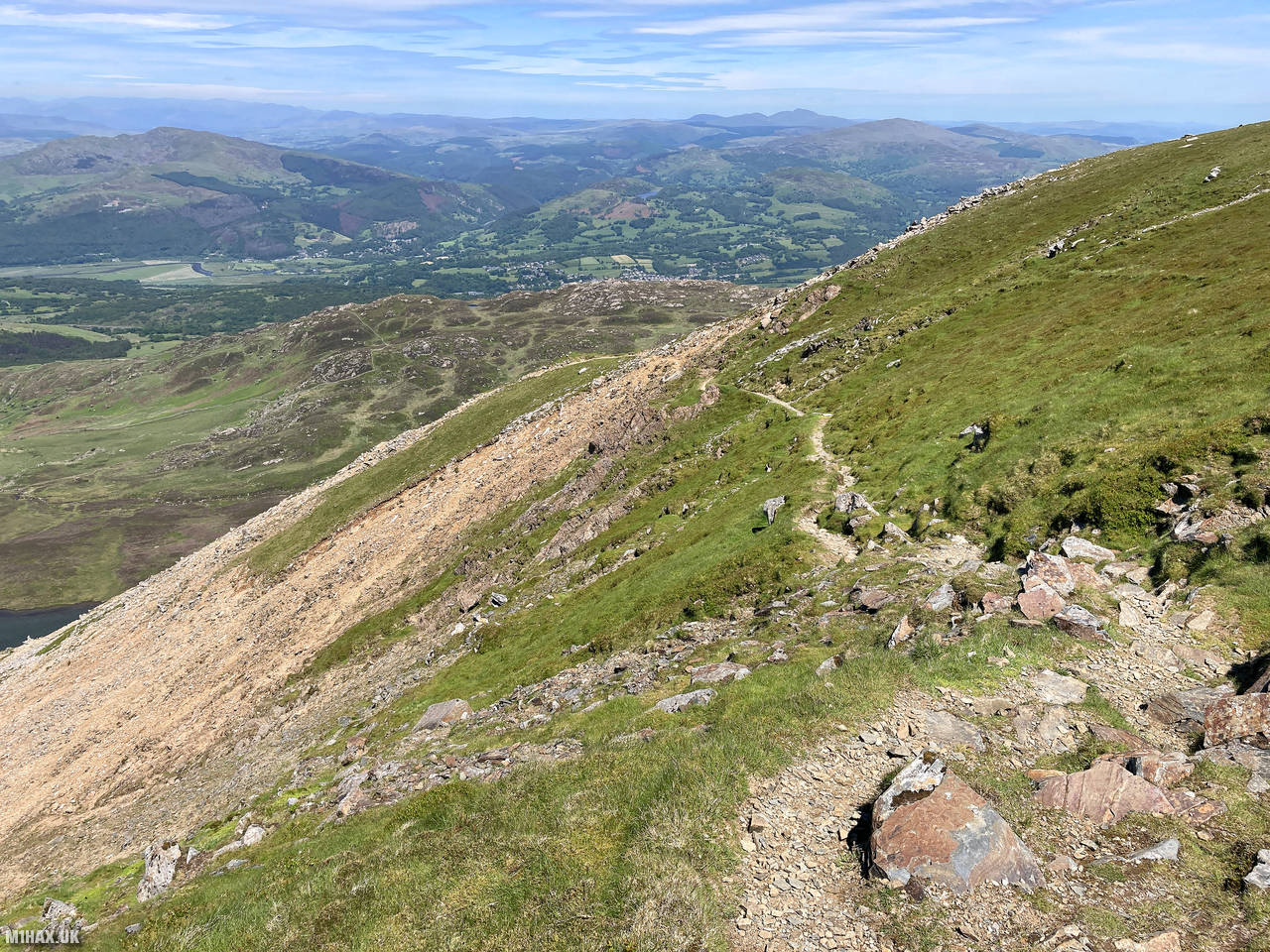
I headed south from the car park following a good quality paved footpath on the northwestern side of Cyfrwy (811m). The well-maintained path steadily rises with increasingly spectacular views of the surrounding landscape. The route eventually turns east, heading up towards the summit of Penygadair, becoming steeper but remaining clear and easy to follow throughout.
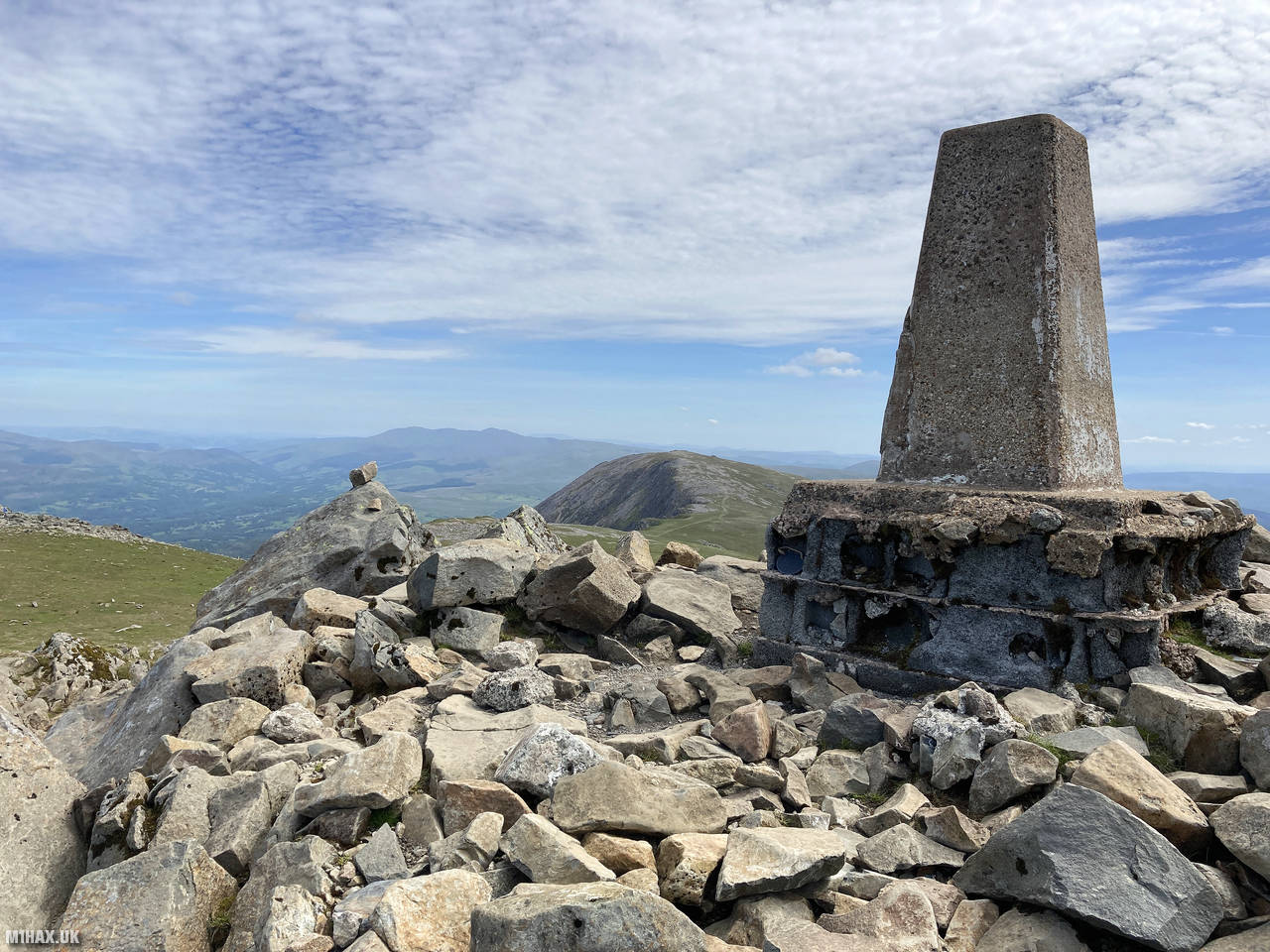
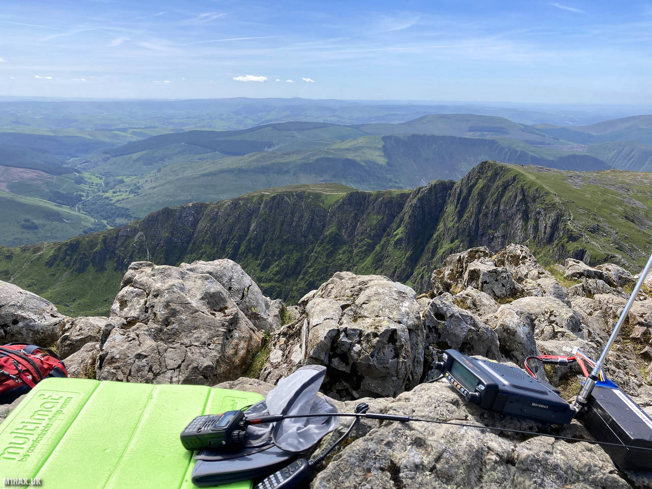
The weather was perfect for mountain walking - warm and sunny with excellent visibility. This allowed for superb views in all directions from the summit plateau, including across to Barmouth Bay and the Mawddach Estuary to the northwest, and the dramatic horseshoe of cliffs surrounding Llyn Cau to the south.
Taking advantage of the excellent weather and high elevation, I set up my portable station near the summit shelter and undertook an extended SOTA activity. Operating with my Yaesu FTM100D on 2 metres and Yaesu VX6 on 70cm, I made a satisfying 40 contacts, including numerous summit-to-summits. Notable S2S QSOs included GW4TQE/P on GW/NW-042, G4DDL/P on G/WB-009, and GW6OVD/P on GW/SW-001 (Pen y Fan).
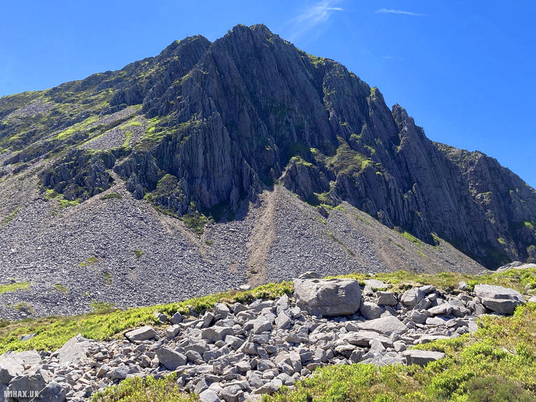
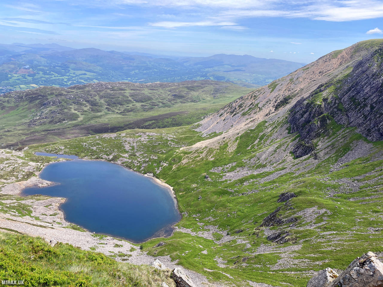
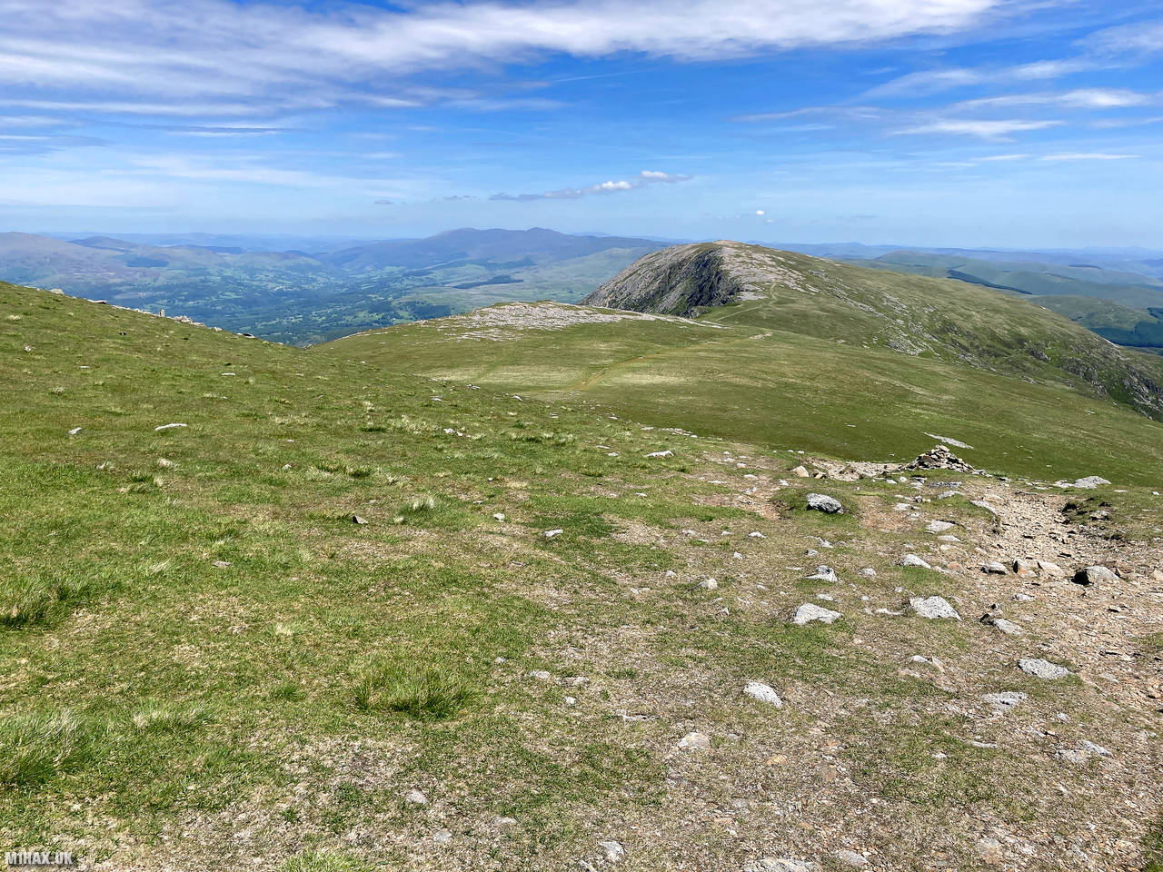
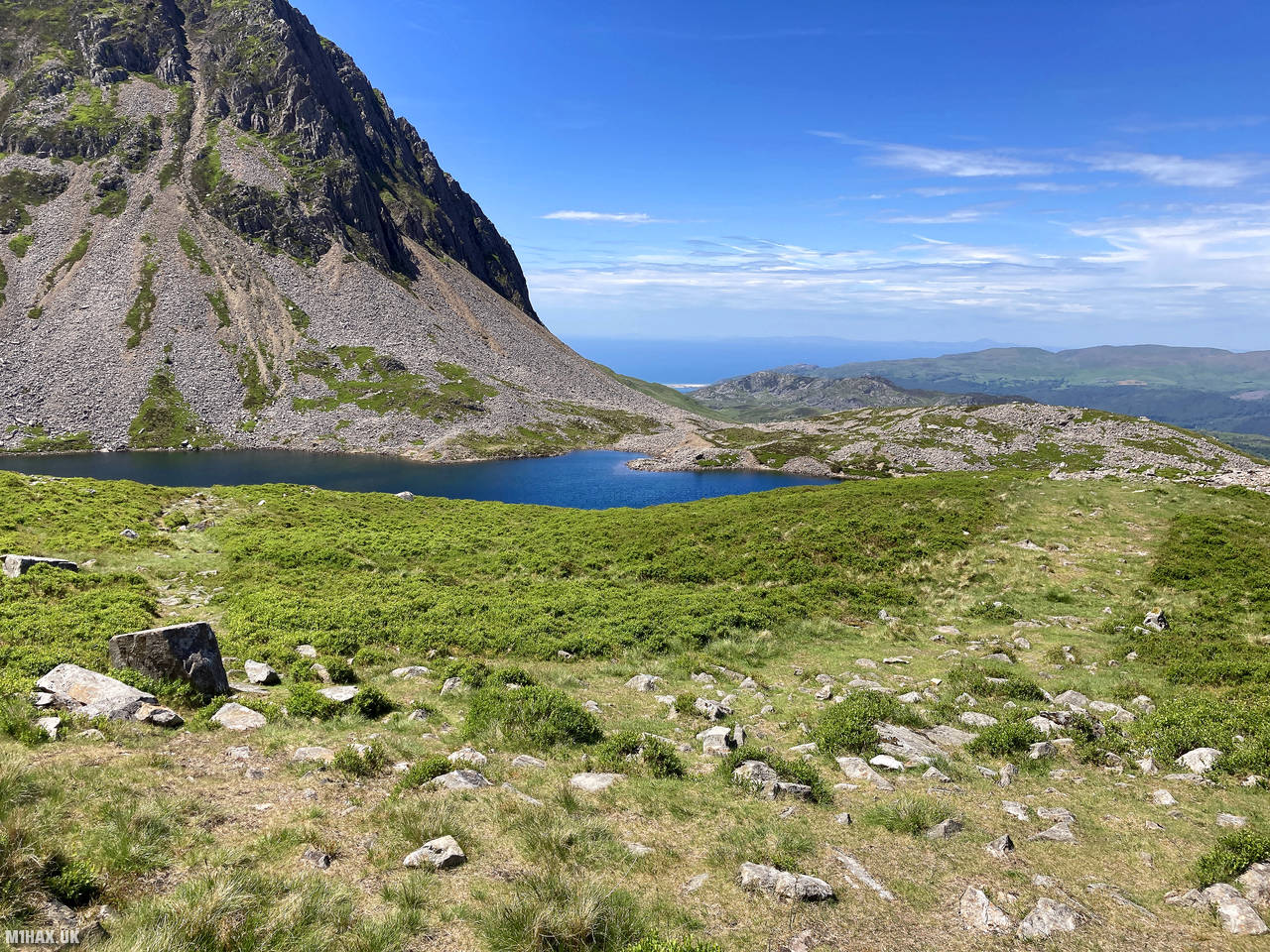
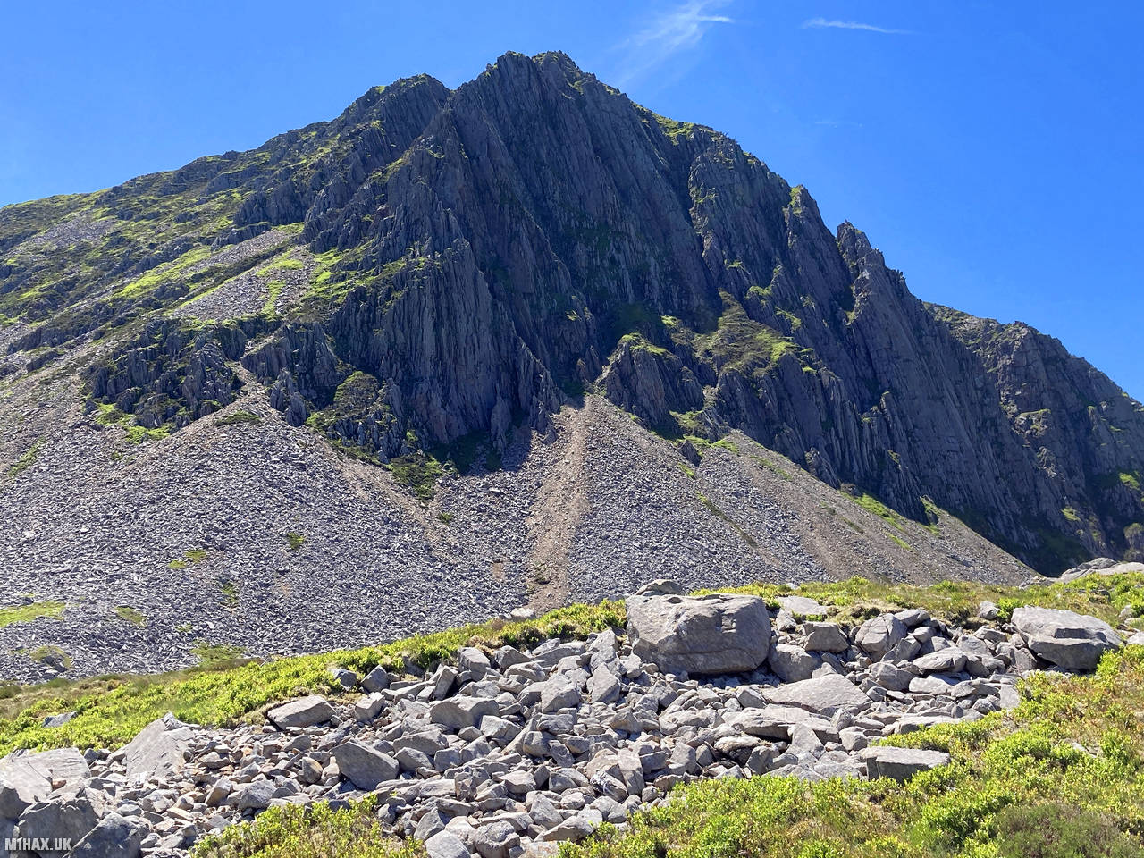
After completing my radio operation, I descended the summit to the northeast, using the Fox’s Path to descend towards the edge of Llyn y Gadair. During the descent, there was an excellent view of the Cyfrwy arete, which has a popular rock-climbing route to the summit. The Fox’s Path is notably steeper than the Pony Path, and very loose, requiring careful foot placement.
I then took a footpath heading back towards the ascent path used earlier in the day, looping round back to the car park to complete a satisfying circuit of roughly 9 kilometres. This route offers a good balance of interesting terrain, good paths, and spectacular views.
Cadair Idris is truly a magnificent mountain with multiple options for ascent. Its rich history, dramatic topography, and accessibility make it popular with hikers and tourists year-round. While the Pony Path might not be the most dramatic approach, it provides a straightforward and enjoyable route to the summit, particularly suitable for SOTA activations where carrying heavy radio equipment may be a consideration.
Photos
Below are some photographs taken during my activation of Cadair Idris on Tuesday 15th June, 2021.


Walking Route for Cadair Idris
The interactive map below shows my GPS track taken to the SOTA activation zone for Cadair Idris. The GW/NW-009 summit area is marked on the map with a blue pin icon.
You can download the route shown above as a GPX file suitable for use with most GPS devices. This file is provided for information only, to support your own walk planning and research (it may contain navigation errors, detours and/or safety hazards). The route downloads provided here are governed by the Creative Commons BY-NC-SA 4.0 licence.
Station Log
I logged the following 40 amateur radio contacts operating as MW1HAX/P from GW/NW-009 Cadair Idris on Tuesday 15th June, 2021 (all times shown are UTC):
| Time | Callsign | Band | Mode | Notes |
|---|---|---|---|---|
| 10:35 | G0RQL | 2m | FM | Don, 5/6 |
| 10:35 | GW4TQE/P | 2m | FM | John, 5/2, S2S GW/NW-042 |
| 10:36 | MW7GWR | 2m | FM | Dave, 5/9 |
| 10:37 | 2W0BML | 2m | FM | Ben, 5/9 |
| 10:38 | GW4ZPL | 2m | FM | John, 5/9 |
| 10:39 | G4DDL/P | 2m | FM | Mike, 5/9, S2S G/WB-009 |
| 10:39 | G0KSB | 2m | FM | Ade, 5/9 |
| 10:41 | 2E0MTG | 2m | FM | Mateusz, 5/5 |
| 10:42 | MW0OFA | 2m | FM | Frank, 5/9 |
| 10:42 | G7WKX | 2m | FM | Simon, 5/9 |
| 10:44 | 2E0AGB | 2m | FM | Allen, 5/9 |
| 10:45 | M0KPW/P | 2m | FM | Chris, 5/7, S2S G/LD-017 |
| 10:46 | GW4VPX | 2m | FM | Allan, 5/9 |
| 10:47 | MW0GWG/P | 2m | FM | Richard, 5/9, S2S GW/MW-008 |
| 10:48 | G8CPZ/P | 2m | FM | Andy, 5/7, S2S G/LD-034 |
| 10:50 | GW8GLW | 2m | FM | Irfon, 5/9 |
| 10:50 | G8XRS | 2m | FM | Graham, 5/5 |
| 10:52 | M6BLV | 2m | FM | John, 5/9 |
| 10:53 | G1OAE | 2m | FM | Tony, 5/3 |
| 10:54 | M0VAZ | 2m | FM | John, 5/9 |
| 10:55 | M6NSV | 2m | FM | Neil, 5/8 |
| 10:56 | M0WBG | 2m | FM | Neil, 5/3 |
| 10:57 | M6PMA | 2m | FM | Paul, 5/4 |
| 10:58 | GW7HJN | 2m | FM | Stuart, 5/9 |
| 11:00 | MW7GWR | 70cm | FM | Dave, 5/9 |
| 11:03 | MW0OFA | 70cm | FM | Frank, 5/9 |
| 11:06 | GW0PLP | 70cm | FM | Don, 5/9 |
| 11:15 | MW0OFA | 2m | DV | Frank, 5/8 |
| 11:16 | GW4VPX | 2m | DV | Allan, 5/9 |
| 11:17 | GW4VXE/M | 2m | DV | Tim, 5/9 |
| 11:18 | G0RQL | 2m | DV | Don, 5/8 |
| 11:19 | M1AEG/M | 2m | DV | Andrew, 5/8 |
| 11:23 | G6WSB/P | 2m | FM | Shane, 5/3, S2S G/NP-004 |
| 11:26 | M5RJC | 2m | FM | Rick, 5/9, S2S G/WB-015 |
| 11:27 | G7RHF | 2m | FM | Al, 5/7 |
| 11:29 | M1JMH | 2m | FM | John, 5/8 |
| 11:31 | GW4XXF | 2m | FM | Bruce, 5/9 |
| 11:32 | GW4XXF | 70cm | FM | Bruce, 5/9 |
| 11:34 | GW6OVD/P | 2m | FM | Mal, 5/9, S2S GW/SW-001 |
| 11:36 | 2W0IWM/P | 2m | FM | Ian, 5/9, S2S GW/SW-001 |
In the notes field I will usually log the other operator’s name and the signal report they provided. In accordance with the Summits on the Air rules, I do not make a log entry where a complete exchange of callsigns and signal reports was unsuccessful.
Additional Information
The following resources may be helpful to walkers, mountaineers and SOTA activators interested in Cadair Idris:
- Sotl.as Summit Page for GW/NW-009 Cadair Idris.
- Hill Bagging UK Summit Page for Cadair Idris.
- Google Maps Page for Cadair Idris.
- Wikipedia entry for Cadair Idris.
- 360° Panorama near summit of GW/NW-009 Cadair Idris.
If you found this content valuable, why not Buy Me a Coffee?