Caer Caradoc Hill - G/WB-006 SOTA (2021)

Summits on the Air Activation Report
Activation Date: Saturday 12th June, 2021.
Activator(s): Richard M1HAX.
Summit: Caer Caradoc Hill, Welsh Borders, England.
Summit ID: SOTA reference G/WB-006 (1 point).
Summit Height: 460m elevation, 272m prominence.
Summit Location: Lat./Long. 52.55384, -2.77212. Maidenhead Grid IO82on.
Distance: 3.7km travelled with 287m of ascent.
Difficulty: SAC Grade T1.(?)
Elapsed Time: 1hr 30m (including operating).
Weather: 20°C, 8 mph WNW wind, 58% humidity.
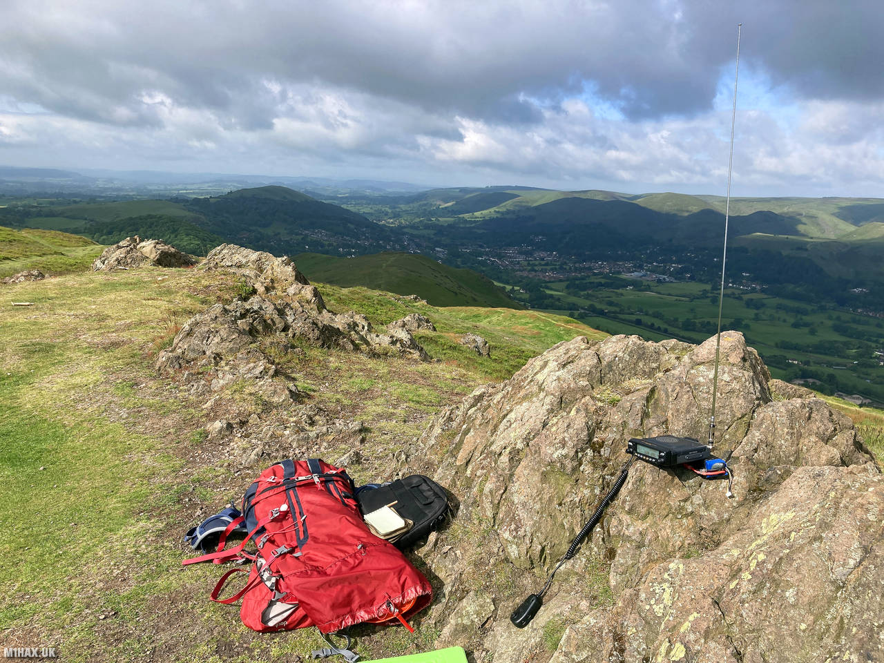
Radio Equipment: Yaesu FTM100D, MFJ-1714, Zippy 4200mAh 4S LiFePo4.
Callsign Used: M1HAX/P.
Contacts: 10 (2m FM).
Trip Notes
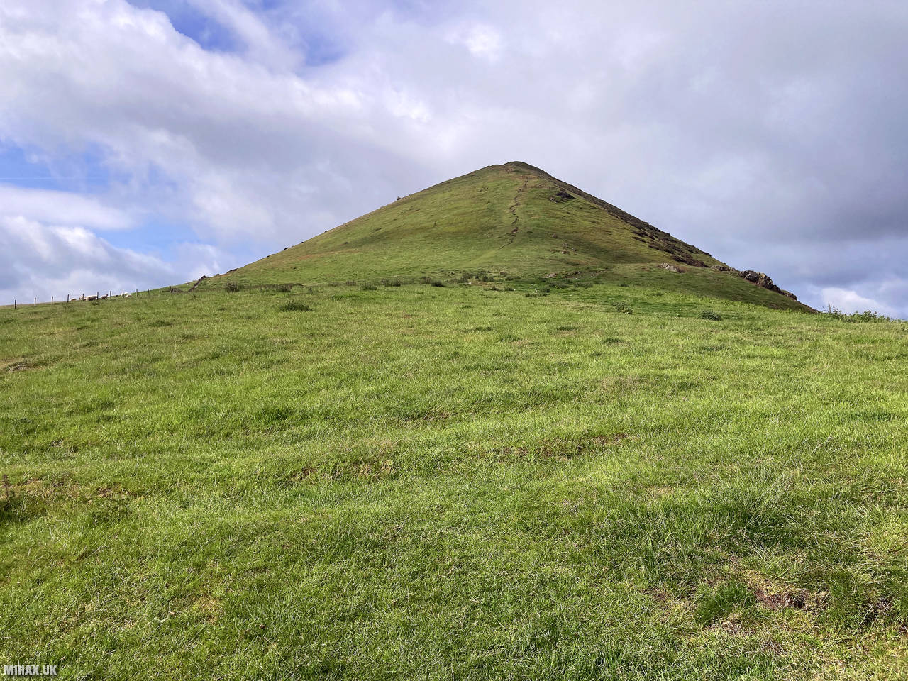
Caer Caradoc Hill is a distinctive hill located in the Shropshire Hills National Landscape area, near the town of Church Stretton. Standing at 460 metres, it is notable for its striking profile and the remains of an ancient hill fort on its summit, allegedly used by the British chieftain Caractacus in his resistance against the Roman invasion.
This summit activation was part of an ambitious day trip where I planned to activate five one-point hills in the Shropshire Hills area: Caer Caradoc Hill, Heath Mynd, Burrow, View Edge, and Callow Hill. Caer Caradoc was my first target of the day.
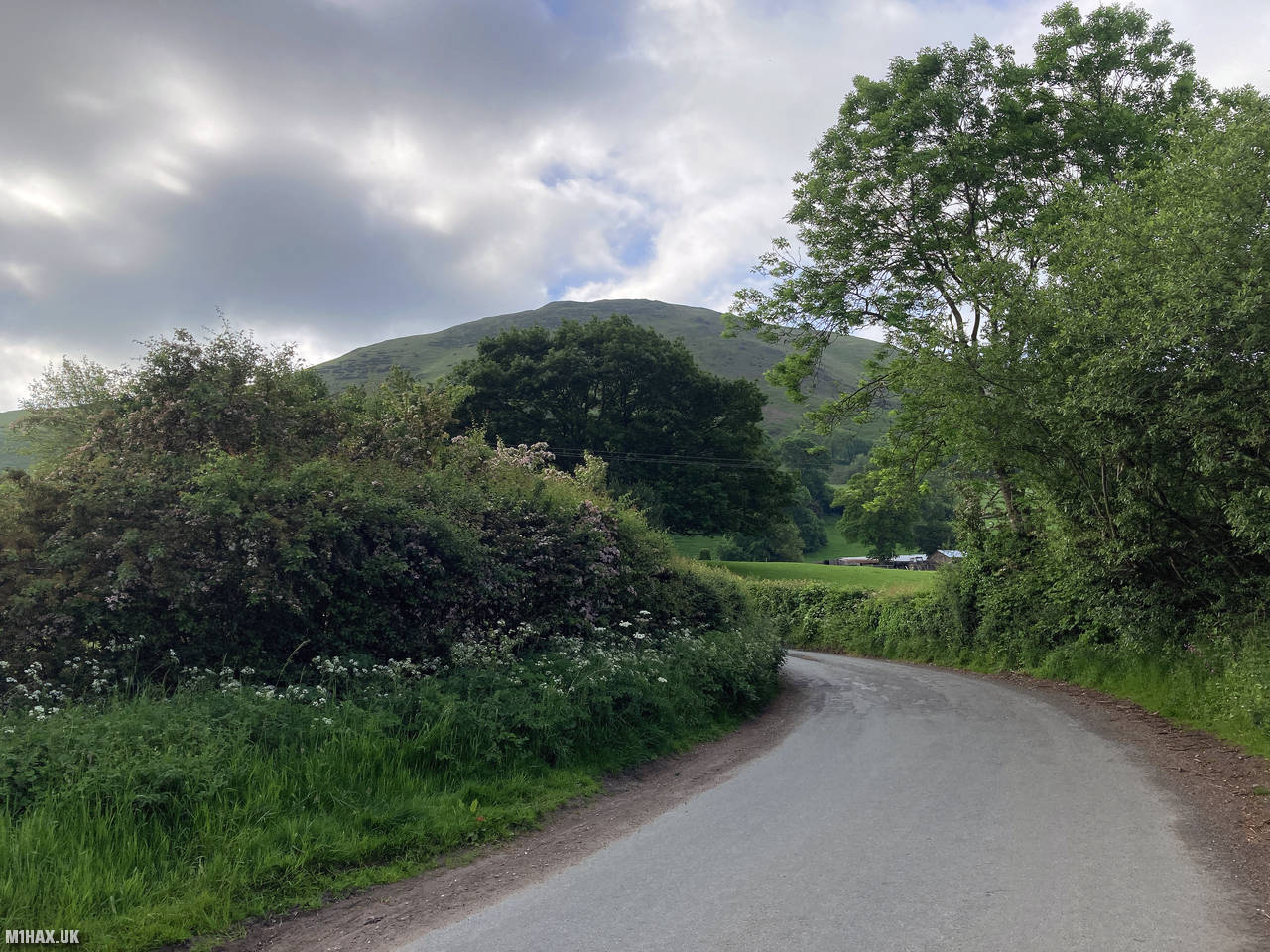
I parked just off the main road near the small settlement of Botvyle to the northwest of the hill. This provides easier access than the more popular southern approach from Church Stretton, which involves a steeper climb.
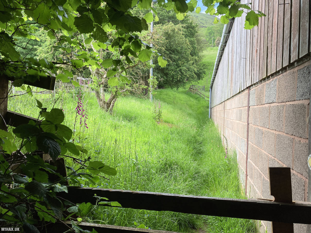
From the parking area, I followed a minor road for a short distance, then picked up a faint track that winds around a farm and leads toward the hillside. The path becomes more distinct as it climbs up the upper slopes of the hill.
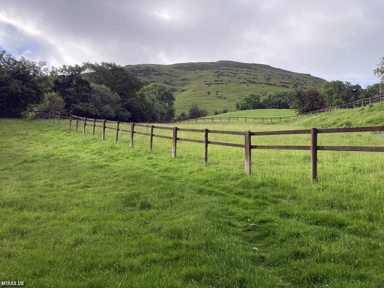
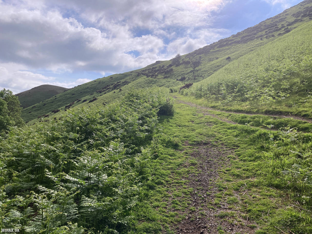
The ascent is straightforward but reasonably steep in places, gaining about 287 metres of elevation over less than 2 kilometres of walking. The morning was pleasant with good visibility and comfortable temperatures.
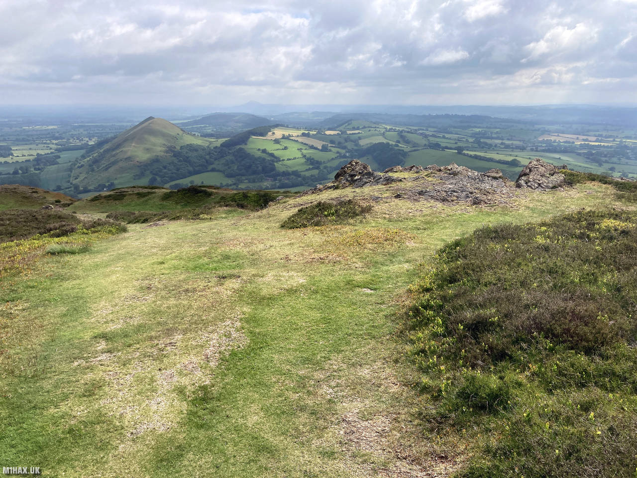
At the summit, I found pleasant rocky outcrops breaking through the grass remnants of the ancient hill fort. These provide excellent spots to set up a radio station while enjoying the panoramic views across Shropshire and into Wales.
I quickly made ten contacts on the 2-metre band, including two notable summit-to-summit (S2S) connections: one with Tom M1EYP/P on The Cloud (G/SP-015) and another with John GW4TQE/P on Allt y Main (GW/NW-059). The operating conditions were excellent for this early morning operation.
After completing my activation, I retraced my route back to the car before moving on to my next target of the day, Callow Hill. The entire hike on Caer Caradoc took about 90 minutes.
This very pleasant hill is well worth visiting if you’re in the vicinity of Church Stretton. While it can be approached from multiple directions, the northwestern route shown here is perhaps the most direct and avoids the steeper southern slopes.
Photos
Below are some photographs taken during my activation of Caer Caradoc Hill on Saturday 12th June, 2021.


Walking Route for Caer Caradoc Hill
The interactive map below shows my GPS track taken to the SOTA activation zone for Caer Caradoc Hill. The G/WB-006 summit area is marked on the map with a blue pin icon.
You can download the route shown above as a GPX file suitable for use with most GPS devices. This file is provided for information only, to support your own walk planning and research (it may contain navigation errors, detours and/or safety hazards). The route downloads provided here are governed by the Creative Commons BY-NC-SA 4.0 licence.
Station Log
I logged the following 10 amateur radio contacts operating as M1HAX/P from G/WB-006 Caer Caradoc Hill on Saturday 12th June, 2021 (all times shown are UTC):
| Time | Callsign | Band | Mode | Notes |
|---|---|---|---|---|
| 07:58 | M1EYP/P | 2m | FM | Tom, 5/9, S2S G/SP-015 |
| 08:01 | G6NHW | 2m | FM | Pete, 5/5 |
| 08:02 | GW4TQE/P | 2m | FM | John, 5/9, S2S GW/NW-059 |
| 08:03 | M5RJC | 2m | FM | Rick, 5/9 |
| 08:03 | MW6AQT | 2m | FM | Lee, 5/6 |
| 08:04 | M7SDO | 2m | FM | James, 5/9 |
| 08:07 | M0TXX/P | 2m | FM | Greg, 5/9 |
| 08:10 | M0JZR | 2m | FM | Max, 5/9 |
| 08:12 | G6ZFZ | 2m | FM | Malcolm, 5/9 |
| 08:12 | G8AOJ | 2m | FM | George, 5/3 |
In the notes field I will usually log the other operator’s name and the signal report they provided. In accordance with the Summits on the Air rules, I do not make a log entry where a complete exchange of callsigns and signal reports was unsuccessful.
Additional Information
The following resources may be helpful to walkers, mountaineers and SOTA activators interested in Caer Caradoc Hill:
- Sotl.as Summit Page for G/WB-006 Caer Caradoc Hill.
- Hill Bagging UK Summit Page for Caer Caradoc Hill.
- Google Maps Page for Caer Caradoc Hill.
- Wikipedia entry for Caer Caradoc Hill.
- 360° Panorama near summit of G/WB-006 Caer Caradoc Hill.
If you found this content valuable, why not Buy Me a Coffee?