Creigiau Gleision - GW/NW-028 SOTA (2021)

Summits on the Air Activation Report
Activation Date: Saturday 26th June, 2021.
Activator(s): Richard M1HAX.
Summit: Creigiau Gleision, North Wales, Wales.
Summit ID: SOTA reference GW/NW-028 (4 points).
Summit Height: 678m elevation, 262m prominence.
Summit Location: Lat./Long. 53.13580, -3.90137. Maidenhead Grid IO83bd.
Also Activated: GW/NW-013.
Distance: 16.8km travelled with 850m of ascent.
Difficulty: SAC Grade T2.(?)
Elapsed Time: 5hr 55m (incl. operating and other summit(s) on the same hike).
Weather: 18°C, 13 mph NE wind, 82% humidity.
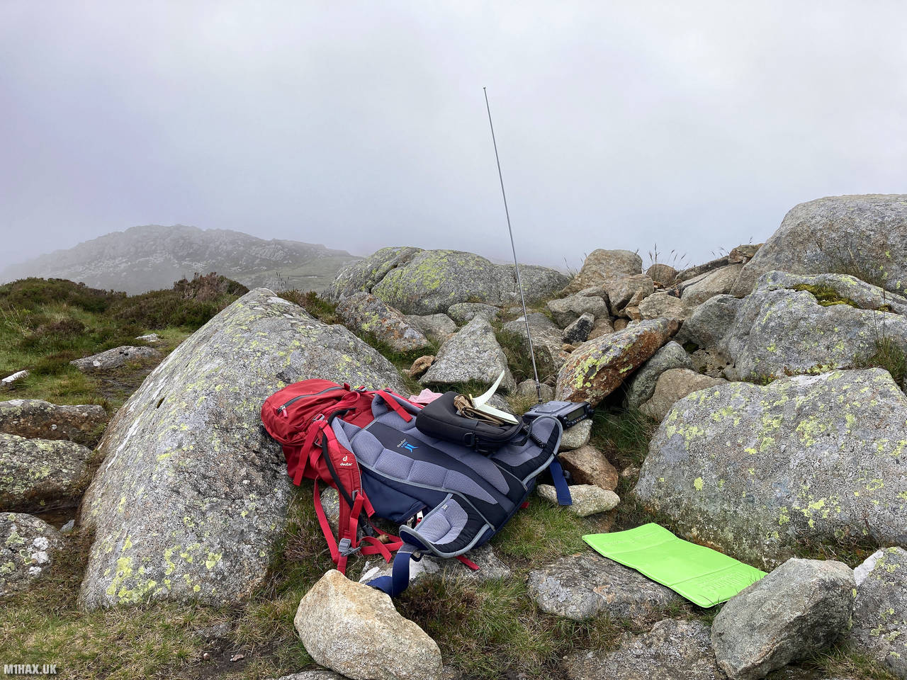
Radio Equipment: Yaesu FTM100D, MFJ-1714, Zippy 4200mAh 4S LiFePo4.
Callsign Used: MW1HAX/P.
Contacts: 19 (2m FM).
Trip Notes
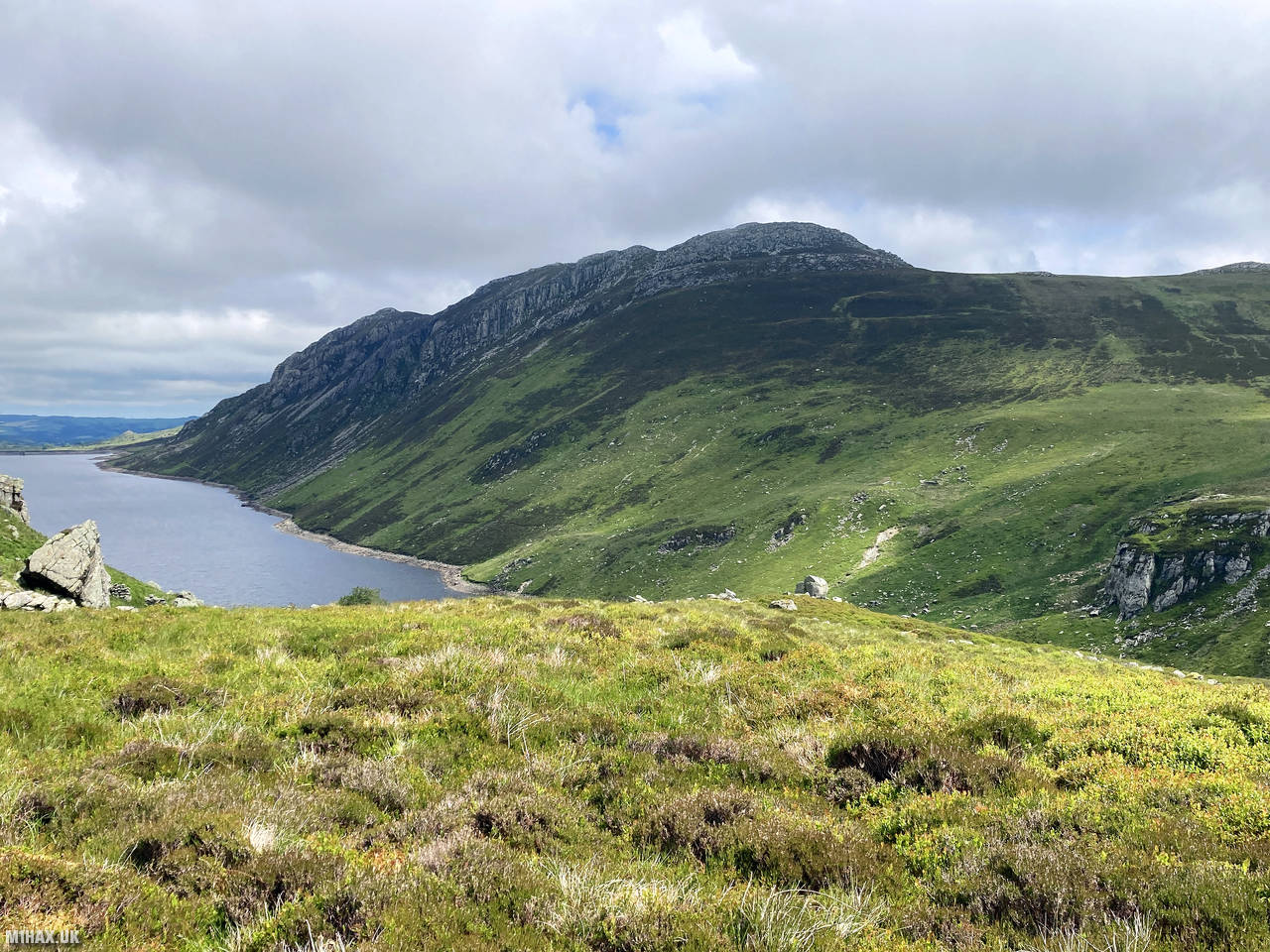
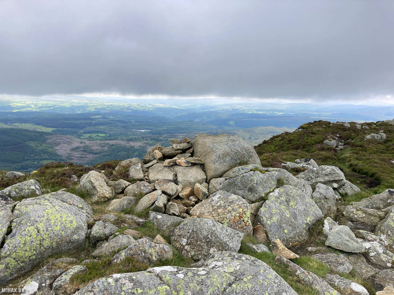
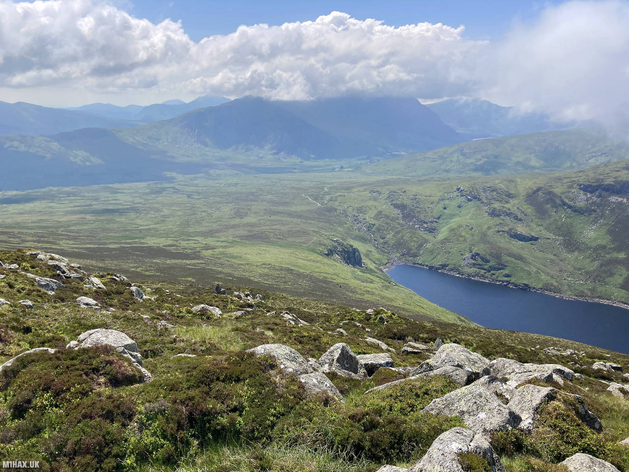
Creigiau Gleision, meaning “Blue Rocks” in Welsh, is a distinctive 678-metre mountain in the eastern Carneddau range of Snowdonia. The name aptly describes its slate-grey rocky outcrops that dominate the summit area. This relatively less-frequented peak offers spectacular views over Llyn Crafnant and Llyn Cowlyd reservoirs, as well as across to the higher Carneddau mountains. I previously wrote about hiking this summit from the Llyn Crafnant side in 2020.
This activation formed the second part of my circuit hike, having already summited Pen Llithrig y Wrach (GW/NW-013) earlier in the day. From the peak of Pen Llithrig y Wrach, I began the journey south towards Creigiau Gleision, following a faint and intermittent grassy path that frequently disappeared among the tussocky terrain.
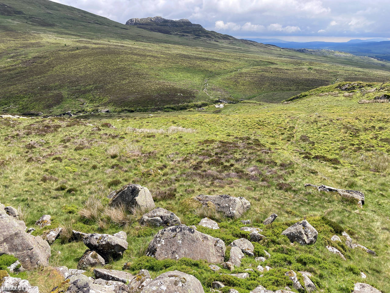
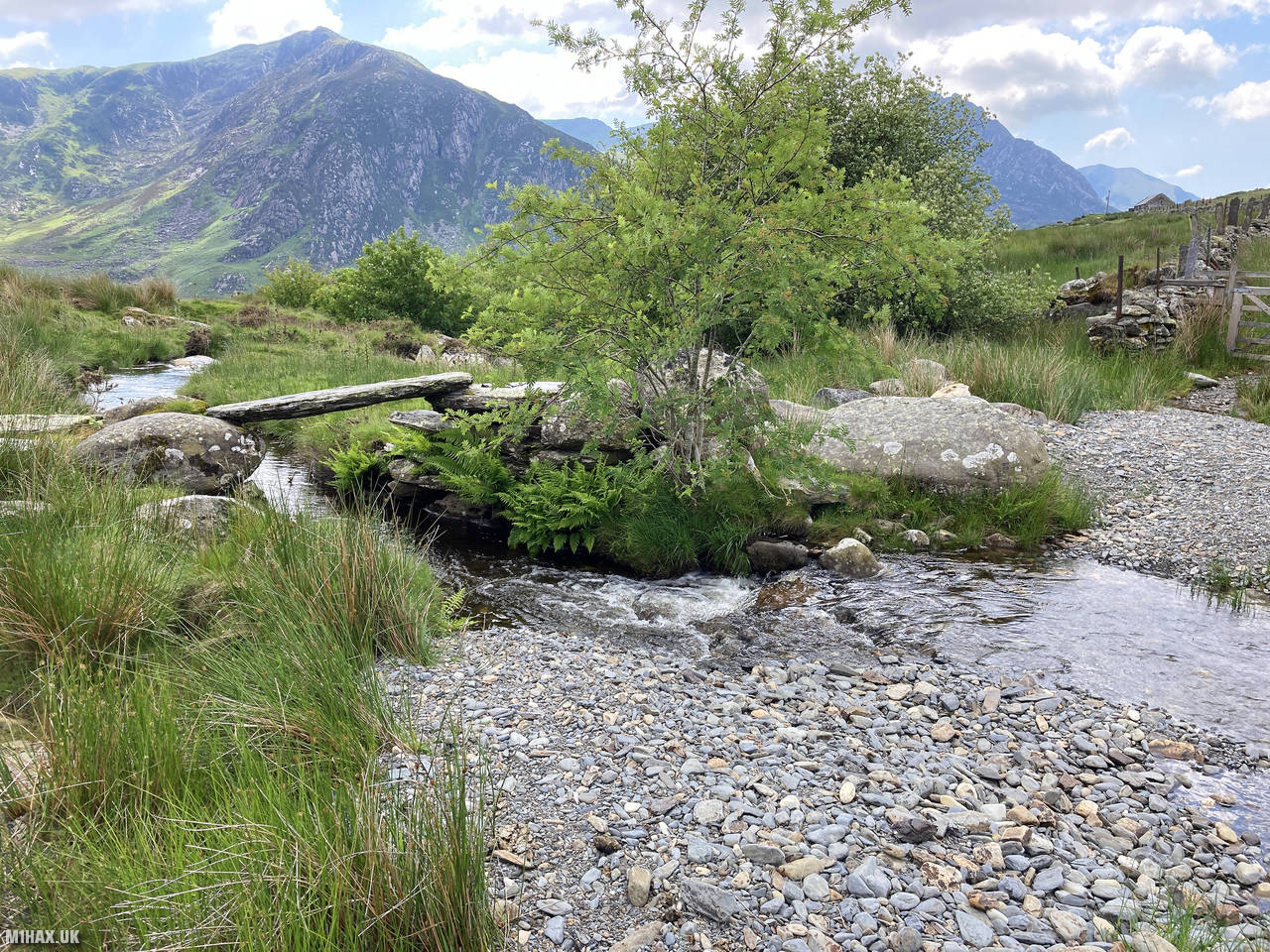
The descent route took me towards Carreg-ar-y-rhos, with navigation guided by spotting a footbridge visible in the valley below. This section required careful attention to route-finding, as defined paths are scarce in this less-trodden area of Snowdonia. After a steady descent across open hillside, I reached and crossed the stream at the footbridge.
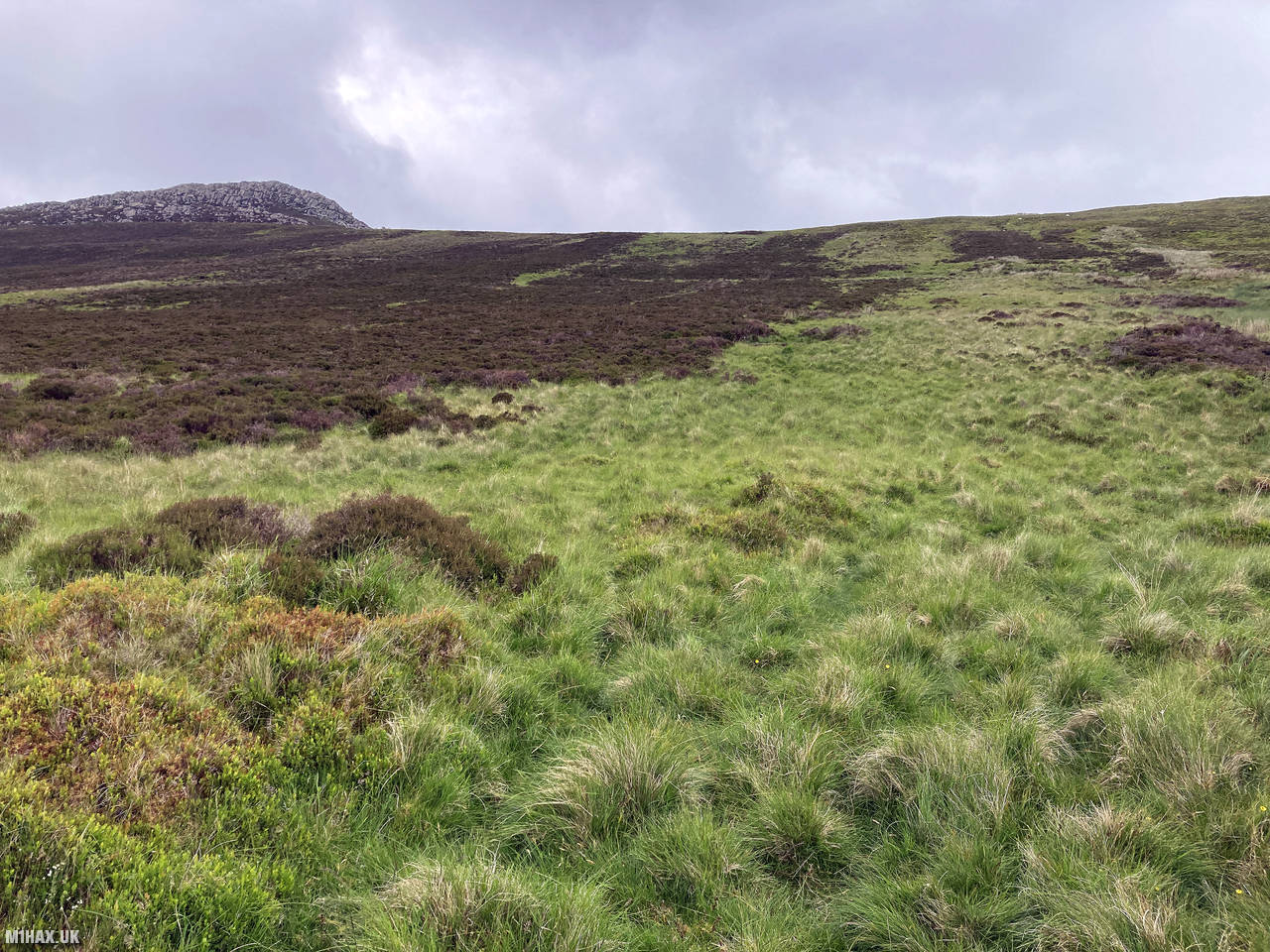
After crossing, I headed east across what can only be described as challenging, pathless terrain. The ground here was dominated by tussocky grass and boggy sections that made progress slower than the distance might suggest. The 3-kilometre journey from Pen Llithrig y Wrach to Creigiau Gleision may seem modest on paper, but the combination of wet, long grass and the ascent made it quite demanding.
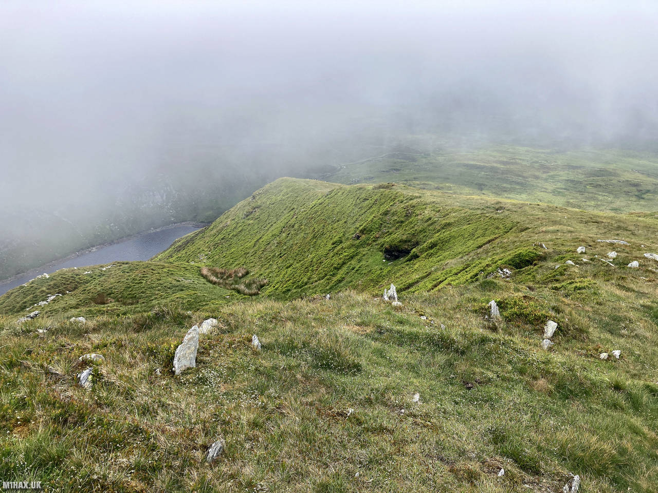
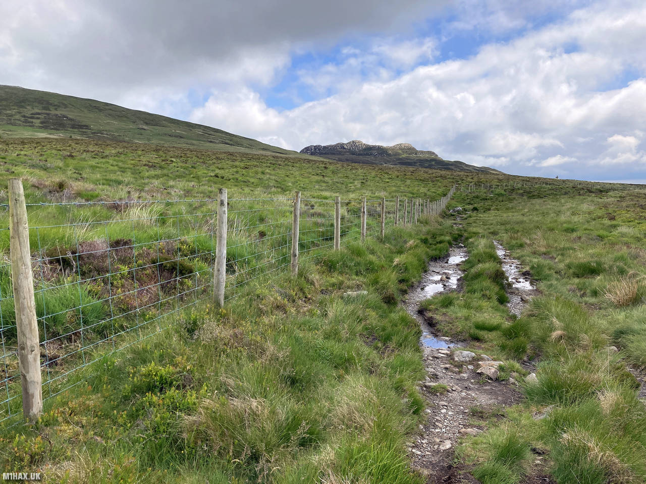
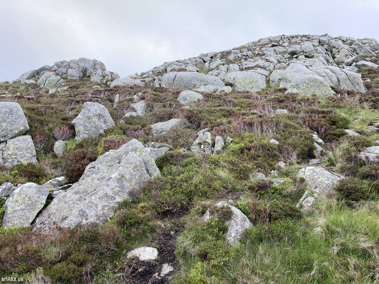
As I gained height, the terrain gradually became rockier, and more distinct paths began to emerge. The final approach to the summit involved negotiating the characteristic rocky outcrops that give the mountain its name. The summit area offers a dramatic viewpoint, with particularly fine vistas west toward the Ogwen Valley and the central Snowdonia peaks.
Setting up my radio equipment on the summit rocks, I began operating on 2 metres FM and was rewarded with plenty of QSOs. I logged 19 contacts in total, including the particular highlight of three summit-to-summit (S2S) contacts with operators on peaks in the Southern Pennines: Dan (M7DTE/P) on Kinder Scout (G/SP-001), Martin (M7BIA/P) on Gun (G/SP-013), and Andy (G6PJZ/P) on Longridge Fell (G/SP-014).
After completing the activation and taking time to appreciate the spectacular views, I began the homeward leg of my circuit. Descending the western flanks of Creigiau Gleision, I picked up farm tracks that led me back toward the A5 road. These tracks provided much easier walking than the terrain encountered earlier, allowing for better progress as I completed the journey back to my starting point at Gwern Gof Uchaf campsite.
This 16.8-kilometre circuit with 850 metres of ascent makes for a rewarding day in the hills, particularly appealing to those looking to explore beyond the more popular and well-trodden paths of Snowdonia. The combination of two SOTA summits, challenging navigation, and stunning views creates an experience that keen hillwalkers will appreciate. For SOTA enthusiasts, the excellent VHF propagation from these summits offers the potential for impressive contact logbooks, especially on summer weekends.
Photos
Below are some photographs taken during my activation of Creigiau Gleision on Saturday 26th June, 2021.


Walking Route for Creigiau Gleision
The interactive map below shows my GPS track taken to the SOTA activation zone for Creigiau Gleision. Note that this summit was activated as part of a multi-summit hike and the map below shows the full route taken on the day. The GW/NW-028 summit area is marked on the map with a blue pin icon.
You can download the route shown above as a GPX file suitable for use with most GPS devices. This file is provided for information only, to support your own walk planning and research (it may contain navigation errors, detours and/or safety hazards). The route downloads provided here are governed by the Creative Commons BY-NC-SA 4.0 licence.
Station Log
I logged the following 19 amateur radio contacts operating as MW1HAX/P from GW/NW-028 Creigiau Gleision on Saturday 26th June, 2021 (all times shown are UTC):
| Time | Callsign | Band | Mode | Notes |
|---|---|---|---|---|
| 13:06 | G7KSE | 2m | FM | Alex, 5/4 |
| 13:08 | MW0JZH/M | 2m | FM | John, 5/9 |
| 13:10 | GW4ZPL | 2m | FM | John, 5/5 |
| 13:10 | 2E1CYM/P | 2m | FM | Nick, 5/5 |
| 13:11 | M7DTE/P | 2m | FM | Dan, 5/7, S2S G/SP-001 |
| 13:13 | M7BIA/P | 2m | FM | Martin, 5/8, S2S G/SP-013 |
| 13:14 | MW0IDX | 2m | FM | Roger, 5/9 |
| 13:14 | G1PIE | 2m | FM | Mark, 5/9 |
| 13:15 | MW0OFA | 2m | FM | Frank, 5/3 |
| 13:15 | GW4VPX | 2m | FM | Allan, 5/3 |
| 13:17 | M0WBG | 2m | FM | Neil, 5/9 |
| 13:18 | GW4HKX | 2m | FM | Richard, 5/9 |
| 13:19 | G6LKB | 2m | FM | David, 5/5 |
| 13:19 | 2W0STO | 2m | FM | John, 5/9 |
| 13:21 | G0CTR | 2m | FM | Peter, 5/6 |
| 13:21 | G7UZA | 2m | FM | John, 5/9 |
| 13:23 | M0JFE | 2m | FM | John, 5/9 |
| 13:24 | M3HGH | 2m | FM | Ken, 5/7 |
| 13:28 | G6PJZ/P | 2m | FM | Andy, 5/9, S2S G/SP-014 |
In the notes field I will usually log the other operator’s name and the signal report they provided. In accordance with the Summits on the Air rules, I do not make a log entry where a complete exchange of callsigns and signal reports was unsuccessful.
Additional Information
The following resources may be helpful to walkers, mountaineers and SOTA activators interested in Creigiau Gleision:
- Sotl.as Summit Page for GW/NW-028 Creigiau Gleision.
- Hill Bagging UK Summit Page for Creigiau Gleision.
- Google Maps Page for Creigiau Gleision.
- Wikipedia entry for Creigiau Gleision.
- 360° Panorama near summit of GW/NW-028 Creigiau Gleision.
If you found this content valuable, why not Buy Me a Coffee?