Drosgol - GW/MW-008 SOTA (2021)

Summits on the Air Activation Report
Activation Date: Sunday 13th June, 2021.
Activator(s): Richard M1HAX.
Summit: Drosgol, Mid Wales, Wales.
Summit ID: SOTA reference GW/MW-008 (2 points).
Summit Height: 550m elevation, 195m prominence.
Summit Location: Lat./Long. 52.47453, -3.82768. Maidenhead Grid IO82cl.
Also Activated: GW/MW-001, GW/MW-007.
Distance: 14.9km travelled with 883m of ascent.
Difficulty: SAC Grade T3.(?)
Elapsed Time: 6hr 10m (incl. operating and other summit(s) on the same hike).
Weather: 25°C, 6 mph SSW wind, 61% humidity.
Radio Equipment: Yaesu FTM100D, MFJ-1714, Zippy 4200mAh 4S LiFePo4.
Callsign Used: MW1HAX/P.
Contacts: 7 (2m FM).
Trip Notes
Drosgol is a modest but remote hill in the Pumlumon range of Mid Wales, standing at 550 metres with a prominence of 195 metres. The hill is less frequently visited than its neighbour Pen Pumlumon Fawr, giving it a wild and isolated character that epitomizes the remote beauty of the Cambrian Mountains.
This summit was the third and final peak in my ambitious 15-kilometre circular walk, which also included Pen Pumlumon Fawr and Banc Llechwedd-mawr, yielding a total of 10 SOTA points. Drosgol represented the culmination of a full day’s hiking through this magnificent but challenging terrain.
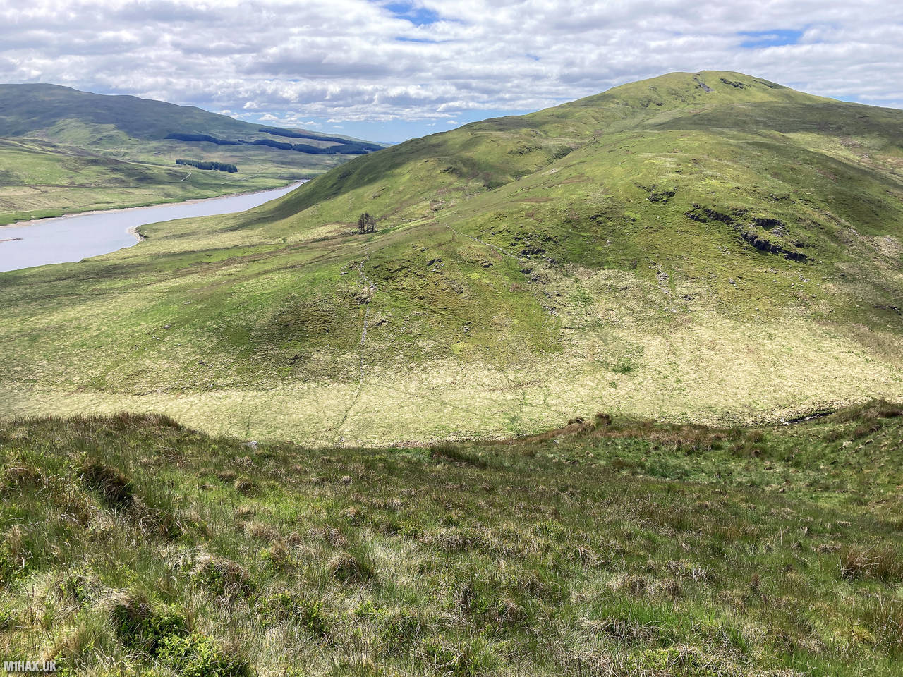
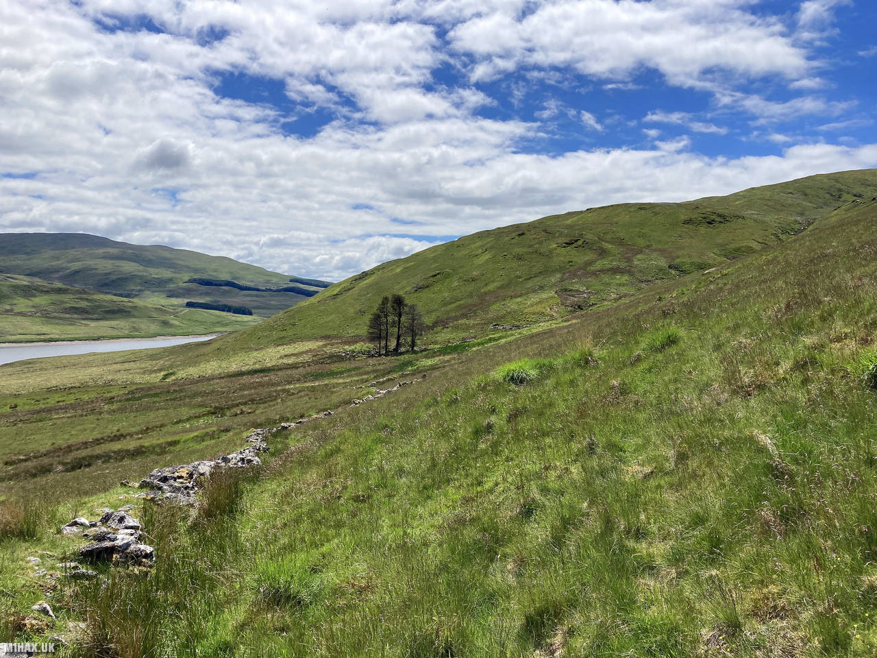
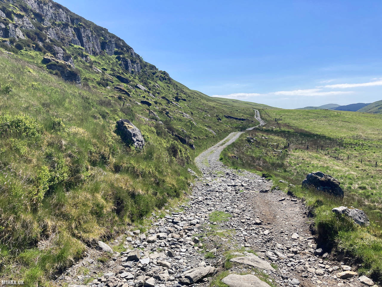
I approached Drosgol from the summit of Banc Llechwedd-mawr, which I had activated earlier. From there, I descended in a south-westerly direction across grassy terrain with very little in the way of established paths. This section required careful navigation, with the landscape consisting primarily of open moorland.
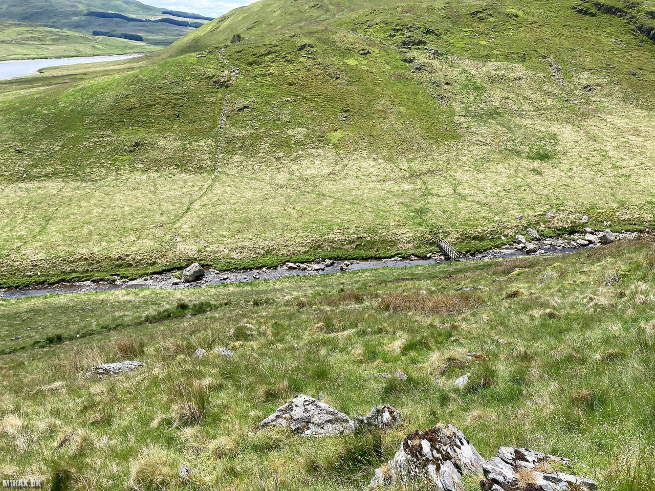
My waypoint for this section was a footbridge crossing the river, which I could see while descending from Banc Llechwedd-mawr. After crossing the river, I headed toward some old settlement ruins visible on the northeastern flank of Drosgol.
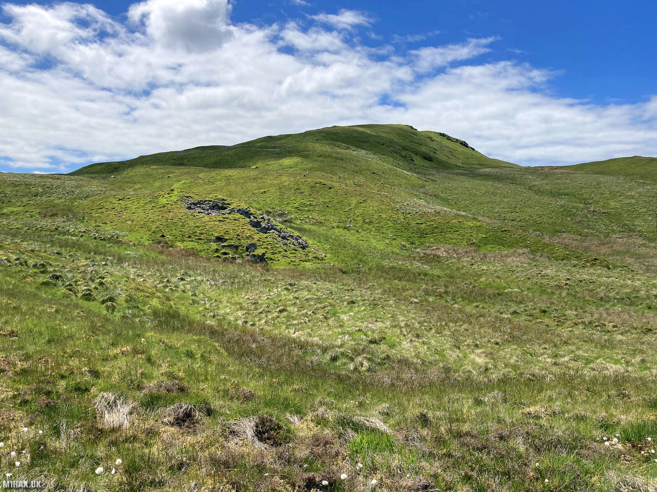
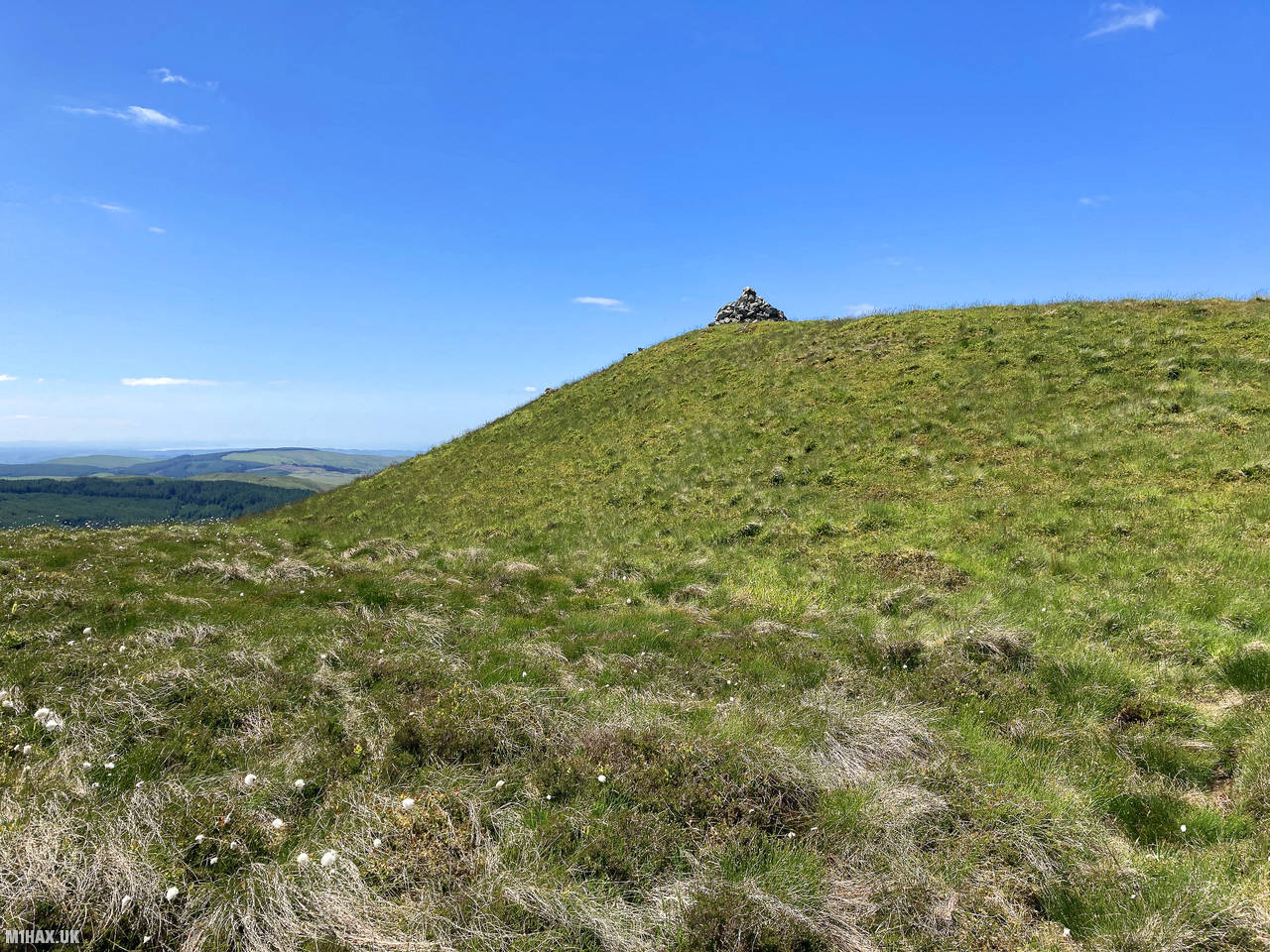
The ascent from the river to the summit was challenging, with no established paths to follow. Progress was slow across the tussocky terrain, requiring careful foot placement to avoid a turned ankle. The combination of boggy ground and long grass made this ascent quite arduous despite the modest elevation gain.
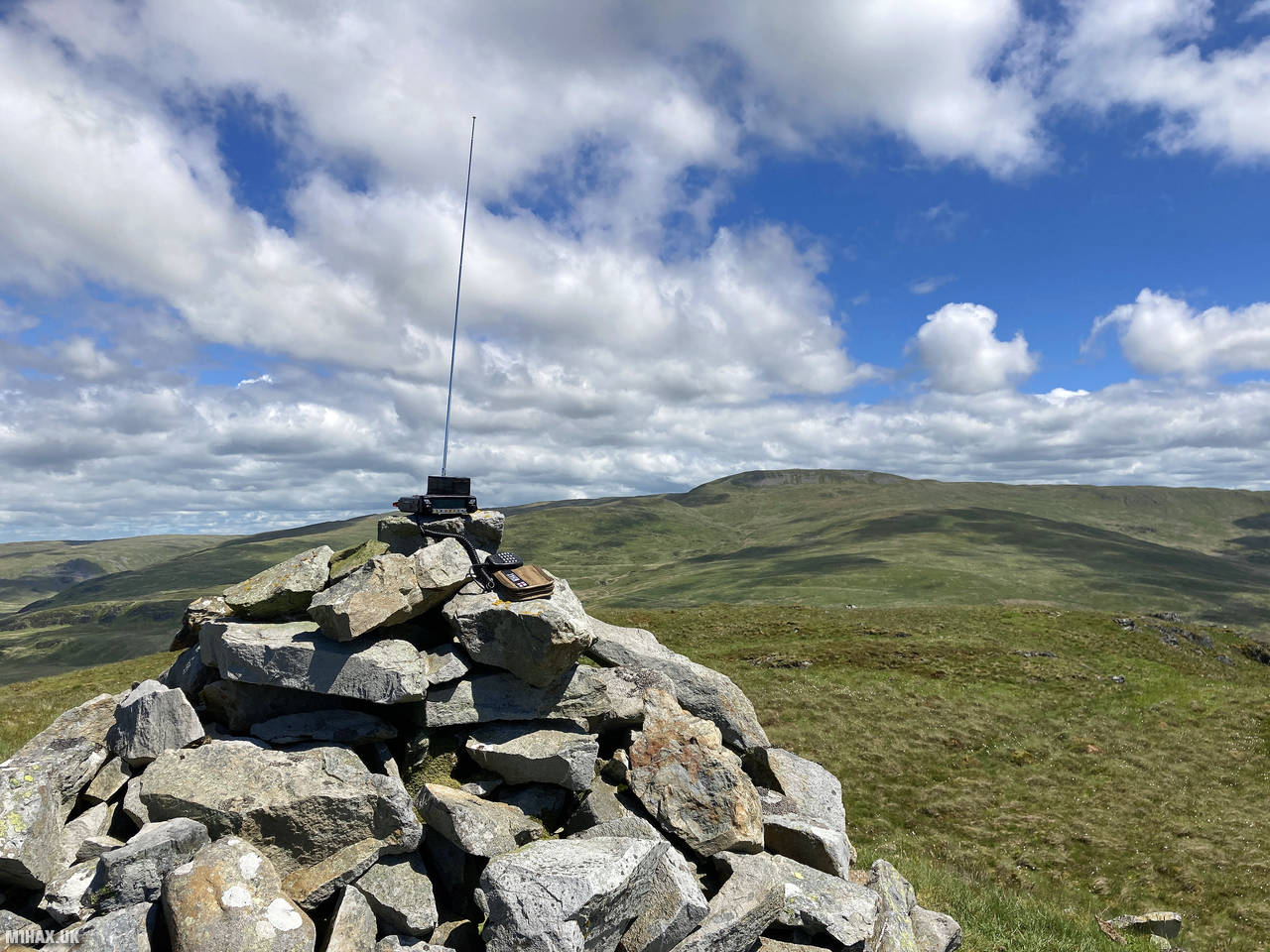
When I eventually reached the summit, I was surprised to find a large cairn structure marking the top. This was unexpected given how remote and seemingly unfrequented this hill appears compared to the popular nearby Pen Pumlumon Fawr.
Setting up my Yaesu FTM100D with the MFJ vertical antenna by the cairn, I successfully activated the summit on the 2-metre band, making seven contacts. The highlight was a summit-to-summit (S2S) connection with Kaan MW0UCL/P who was operating from Fan Brycheiniog (GW/SW-003) in South Wales.
After completing my activation, I began the final leg of my circuit by descending to the north, taking a slightly different route back toward the footbridge. From there, I headed east and then south to loop back to my starting point at the car parking spot on the other side of the Nant-y-moch reservoir.
Upon returning to the car, I discovered I had picked up a tick from the long grass - a reminder of the hazards of off-path hiking in such terrain. While this circular route provided an excellent way to activate these three summits together, the pathless and tussocky nature of Drosgol and Banc Llechwedd-mawr made for challenging walking.
Having now “ticked off” these summits, I would be more inclined to return to Pen Pumlumon Fawr on its own rather than repeat the full circuit again the future.
Photos
Below are some photographs taken during my activation of Drosgol on Sunday 13th June, 2021.


Walking Route for Drosgol
The interactive map below shows my GPS track taken to the SOTA activation zone for Drosgol. Note that this summit was activated as part of a multi-summit hike and the map below shows the full route taken on the day. The GW/MW-008 summit area is marked on the map with a blue pin icon.
You can download the route shown above as a GPX file suitable for use with most GPS devices. This file is provided for information only, to support your own walk planning and research (it may contain navigation errors, detours and/or safety hazards). The route downloads provided here are governed by the Creative Commons BY-NC-SA 4.0 licence.
Station Log
I logged the following 7 amateur radio contacts operating as MW1HAX/P from GW/MW-008 Drosgol on Sunday 13th June, 2021 (all times shown are UTC):
| Time | Callsign | Band | Mode | Notes |
|---|---|---|---|---|
| 13:01 | MW0UCL/P | 2m | FM | Kaan, 5/9, S2S GW/SW-003 |
| 13:03 | MW7GWR | 2m | FM | Dave, 5/7 |
| 13:04 | MW0WEE | 2m | FM | Andy, 5/9 |
| 13:05 | MW0OFA | 2m | FM | Frank, 5/9 |
| 13:07 | GW8SFT | 2m | FM | Dave, 5/9 |
| 13:07 | GW4ZPL | 2m | FM | John, 5/3 |
| 13:08 | G0RQL | 2m | FM | Don, 5/3 |
In the notes field I will usually log the other operator’s name and the signal report they provided. In accordance with the Summits on the Air rules, I do not make a log entry where a complete exchange of callsigns and signal reports was unsuccessful.
Additional Information
The following resources may be helpful to walkers, mountaineers and SOTA activators interested in Drosgol:
- Sotl.as Summit Page for GW/MW-008 Drosgol.
- Hill Bagging UK Summit Page for Drosgol.
- Google Maps Page for Drosgol.
- Wikipedia entry for Drosgol.
- 360° Panorama near summit of GW/MW-008 Drosgol.
If you found this content valuable, why not Buy Me a Coffee?