Pen Llithrig y Wrach - GW/NW-013 SOTA (2021)

Summits on the Air Activation Report
Activation Date: Saturday 26th June, 2021.
Activator(s): Richard M1HAX.
Summit: Pen Llithrig y Wrach, North Wales, Wales.
Summit ID: SOTA reference GW/NW-013 (6 points).
Summit Height: 799m elevation, 180m prominence.
Summit Location: Lat./Long. 53.14226, -3.92075. Maidenhead Grid IO83ad.
Also Activated: GW/NW-028.
Distance: 16.8km travelled with 850m of ascent.
Difficulty: SAC Grade T2.(?)
Elapsed Time: 5hr 55m (incl. operating and other summit(s) on the same hike).
Weather: 18°C, 13 mph NE wind, 82% humidity.
Radio Equipment: Yaesu FTM100D, MFJ-1714, Zippy 4200mAh 4S LiFePo4.
Callsign Used: MW1HAX/P.
Contacts: 10 (2m FM).
Trip Notes
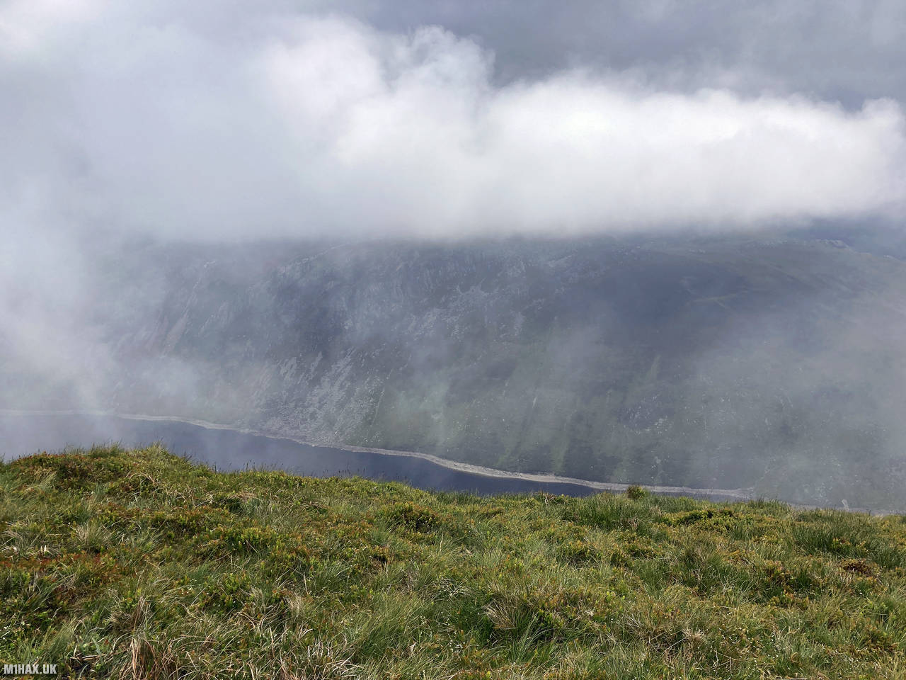
Pen Llithrig y Wrach, which translates to “Slippery Peak of the Witch” in Welsh, is a distinctive 799-metre mountain in the eastern Carneddau range of Snowdonia. Its name is rather apt, as the mountain’s slopes can indeed be treacherously slippery in wet conditions. This impressive peak offers commanding views over Llyn Cowlyd reservoir and the surrounding Carneddau mountains.
I began my hike from the excellently situated Gwern Gof Uchaf campsite in the Ogwen Valley. This popular campsite provides an ideal base for exploring the surrounding mountains and is frequently used by hikers tackling routes in this part of Snowdonia.
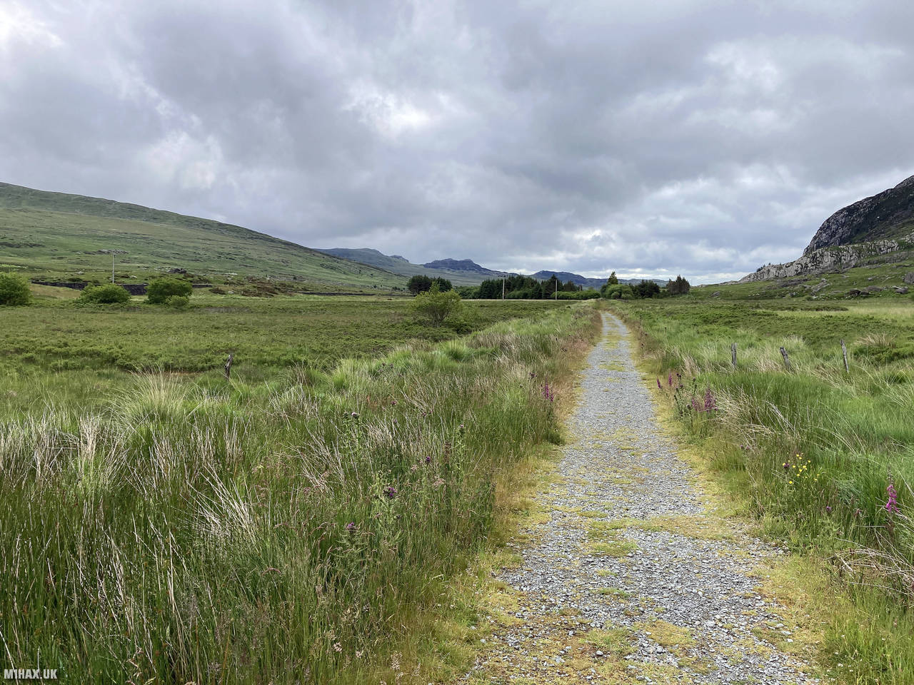
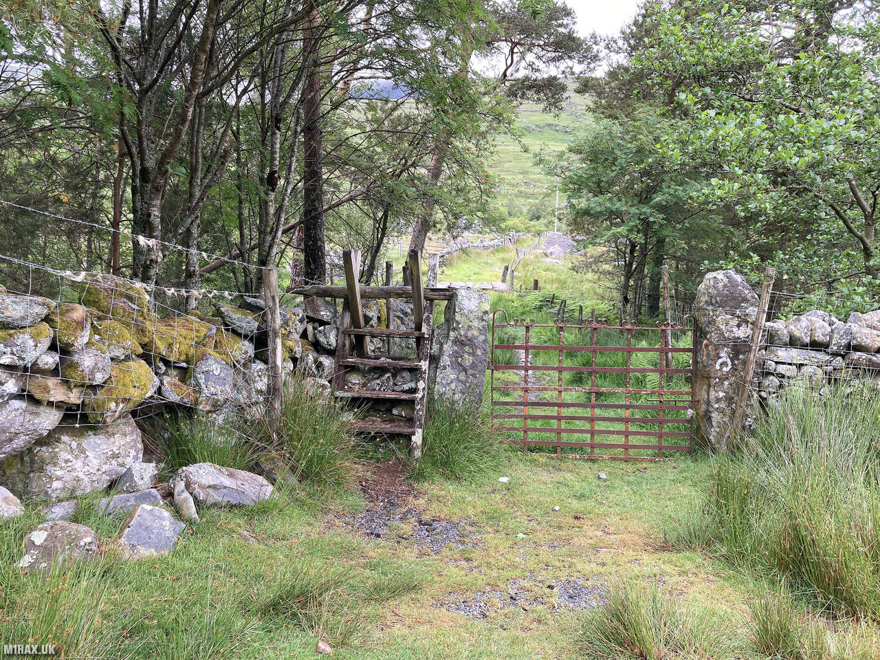
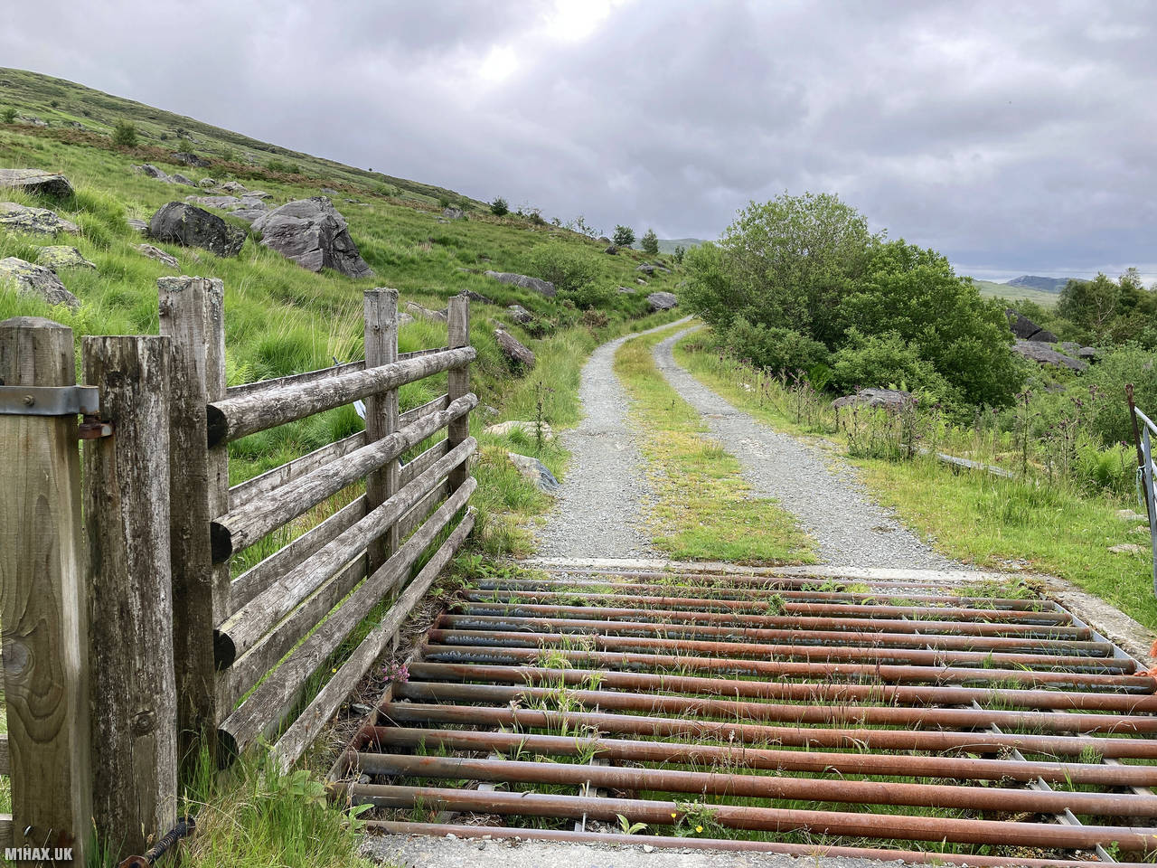
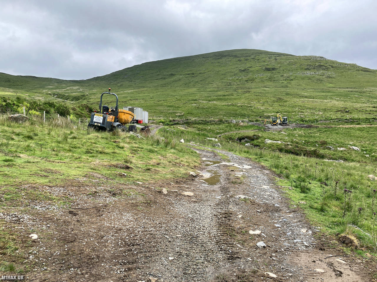
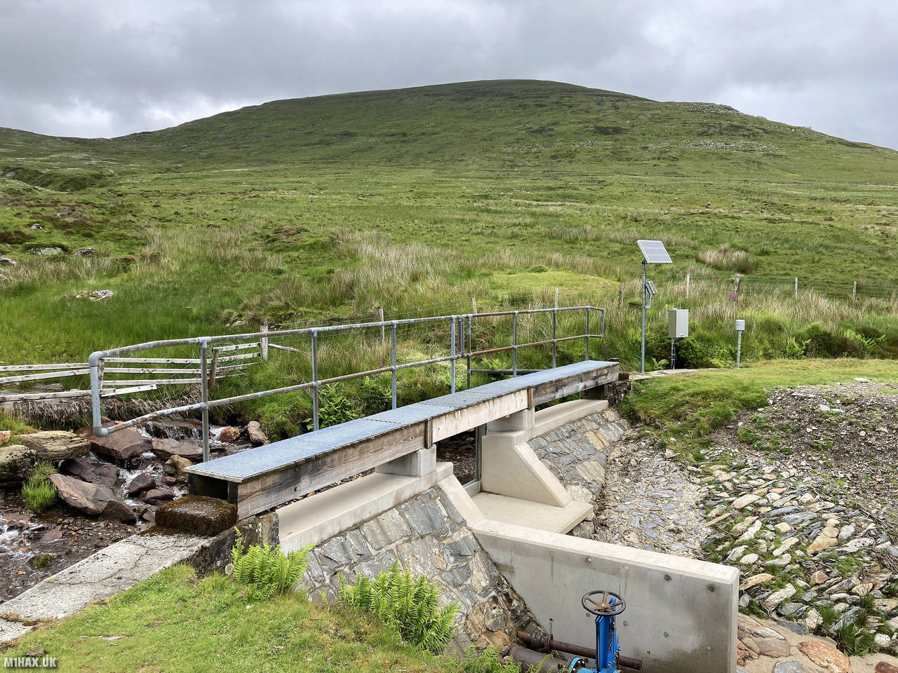
Setting off eastward, I initially followed the Snowdonia Slate Trail, crossing the A5 road before heading northeast on a faint footpath that passes beyond the farm buildings at Tal-y-braich-uchaf. The route continues along a series of paths and tracks towards the weir in Cwm Tal-y-braich, an area notorious for its boggy terrain, particularly during winter months.
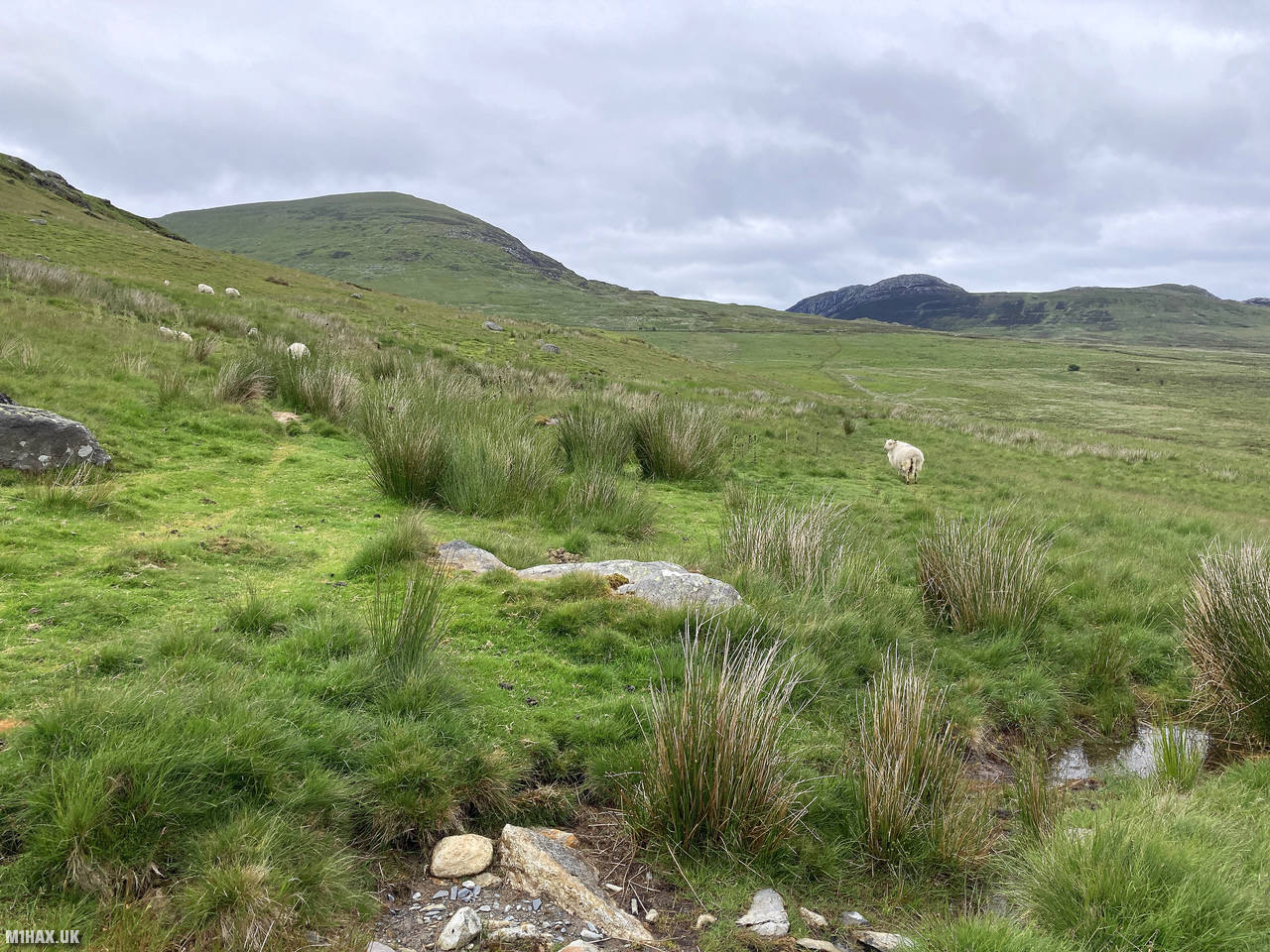
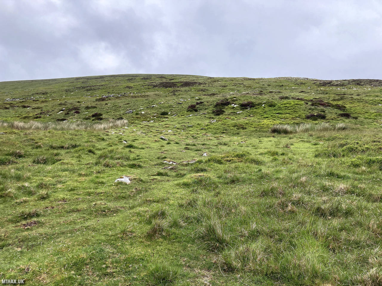
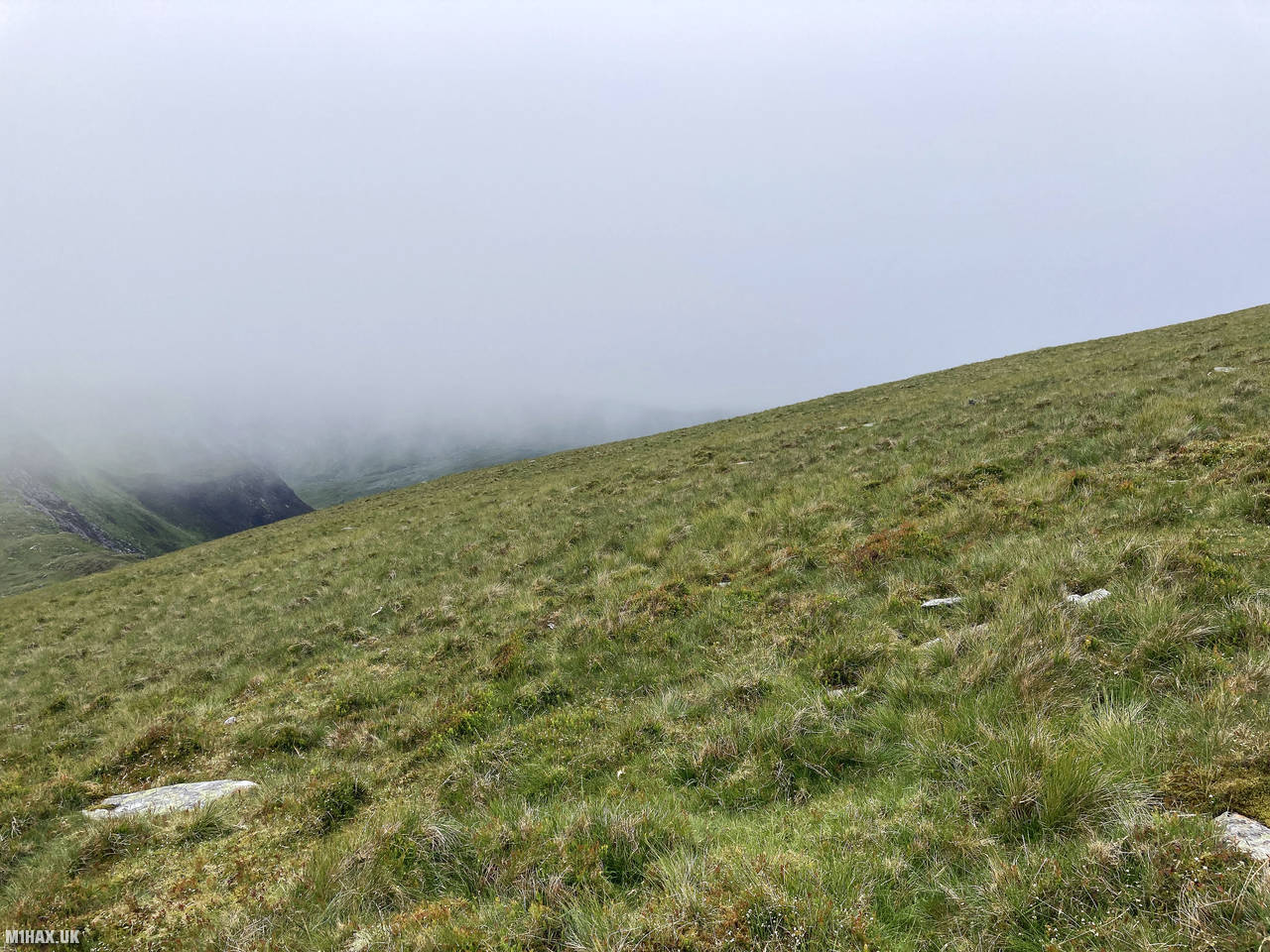
After reaching the weir, I turned east, beginning the ascent proper up the western slopes of Pen Llithrig y Wrach. This section of the route involved some pathless terrain requiring navigation. The gradient steadily increases as you gain height. Despite being summer, parts of the route remained quite wet underfoot, giving a hint as to how the mountain earned its name.
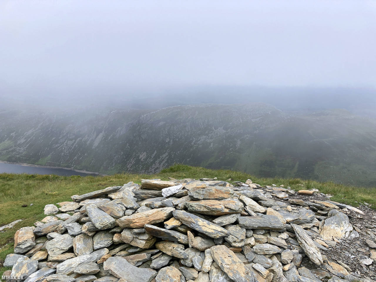
After a steady climb covering just over 5 kilometres from the start point, I reached the summit, which is marked by a modest pile of stones rather than a trig point. The summit plateau offers impressive panoramic views, with Llyn Cowlyd reservoir clearly visible to the east. To the south, I could see my next target, Creigiau Gleision, although it was partially obscured by wisps of low cloud.
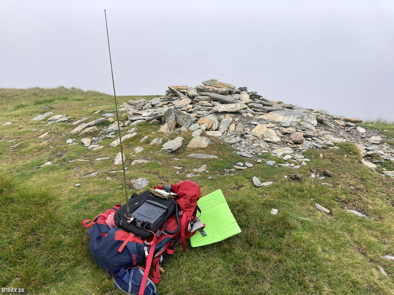
I set up my VHF radio station at the summit cairn, using the Yaesu FTM100D with the MFJ telescopic antenna. Operating from these higher Snowdonia summits on weekends typically yields plenty of contacts, and this activation was no exception. Within about ten minutes, I had logged ten contacts on the 2-metre band, including several stations from impressive distances away, demonstrating the excellent radio propagation that these higher Welsh summits can provide.
After completing the activation and enjoying a brief rest while taking in the views, I packed away my equipment and prepared for the next leg of my journey. From here, I would head south towards Creigiau Gleision (GW/NW-028), continuing what would ultimately be a significant 16.8-kilometre circuit with 850 metres of ascent.
This route covers considerable distance over sometimes pathless and boggy terrain, requiring good navigational skills, especially if the weather deteriorates. However, for experienced hillwalkers, it offers a rewarding day in the less-frequented eastern Carneddau, with two SOTA summits and magnificent views throughout.
Photos
Below are some photographs taken during my activation of Pen Llithrig y Wrach on Saturday 26th June, 2021.


Walking Route for Pen Llithrig y Wrach
The interactive map below shows my GPS track taken to the SOTA activation zone for Pen Llithrig y Wrach. Note that this summit was activated as part of a multi-summit hike and the map below shows the full route taken on the day. The GW/NW-013 summit area is marked on the map with a blue pin icon.
You can download the route shown above as a GPX file suitable for use with most GPS devices. This file is provided for information only, to support your own walk planning and research (it may contain navigation errors, detours and/or safety hazards). The route downloads provided here are governed by the Creative Commons BY-NC-SA 4.0 licence.
Station Log
I logged the following 10 amateur radio contacts operating as MW1HAX/P from GW/NW-013 Pen Llithrig y Wrach on Saturday 26th June, 2021 (all times shown are UTC):
| Time | Callsign | Band | Mode | Notes |
|---|---|---|---|---|
| 11:21 | GW4ZPL | 2m | FM | John, 5/5 |
| 11:22 | MW0BYS | 2m | FM | Bill, 5/9 |
| 11:23 | G3NWR | 2m | FM | Dave, 5/9 |
| 11:24 | MW0OFA | 2m | FM | Frank, 5/9 |
| 11:25 | MW0WMW/M | 2m | FM | Mike, 5/9 |
| 11:25 | GW6WBS/A | 2m | FM | Shane, 5/9 |
| 11:27 | MW0UPH | 2m | FM | Aled, /9 |
| 11:28 | 2E0MTG | 2m | FM | Mateusz, 5/5 |
| 11:29 | G0MHF | 2m | FM | John, 5/9 |
| 11:30 | MW7GWR | 2m | FM | Dave, 5/9 |
In the notes field I will usually log the other operator’s name and the signal report they provided. In accordance with the Summits on the Air rules, I do not make a log entry where a complete exchange of callsigns and signal reports was unsuccessful.
Additional Information
The following resources may be helpful to walkers, mountaineers and SOTA activators interested in Pen Llithrig y Wrach:
- Sotl.as Summit Page for GW/NW-013 Pen Llithrig y Wrach.
- Hill Bagging UK Summit Page for Pen Llithrig y Wrach.
- Google Maps Page for Pen Llithrig y Wrach.
- Wikipedia entry for Pen Llithrig y Wrach.
- 360° Panorama near summit of GW/NW-013 Pen Llithrig y Wrach.
If you found this content valuable, why not Buy Me a Coffee?