Pen Pumlumon Fawr - GW/MW-001 SOTA (2021)

Summits on the Air Activation Report
Activation Date: Sunday 13th June, 2021.
Activator(s): Richard M1HAX.
Summit: Pen Pumlumon Fawr, Mid Wales, Wales.
Summit ID: SOTA reference GW/MW-001 (6 points).
Summit Height: 752m elevation, 526m prominence.
Summit Location: Lat./Long. 52.46696, -3.78305. Maidenhead Grid IO82cl.
Also Activated: GW/MW-007, GW/MW-008.
Distance: 14.9km travelled with 883m of ascent.
Difficulty: SAC Grade T3.(?)
Elapsed Time: 6hr 10m (incl. operating and other summit(s) on the same hike).
Weather: 25°C, 6 mph SSW wind, 61% humidity.
Radio Equipment: Yaesu FTM100D, MFJ-1714, Zippy 4200mAh 4S LiFePo4.
Callsign Used: MW1HAX/P.
Contacts: 13 (2m FM, 2m C4FM).
Trip Notes
Pen Pumlumon Fawr is the highest point in Mid Wales, standing at 752 metres elevation with a prominence of 526 metres. The mountain is part of the Pumlumon range in the Cambrian Mountains and commands impressive views across central Wales. The area is known for its remote beauty and is the source of major rivers including the Severn and the Wye.
This activation was part of a 15-kilometre circular walk encompassing three Marilyn summits: Pen Pumlumon Fawr, Banc Llechwedd-mawr, and Drosgol, for a total of 10 SOTA points. This circuit offered an excellent opportunity to explore this beautiful part of Wales.
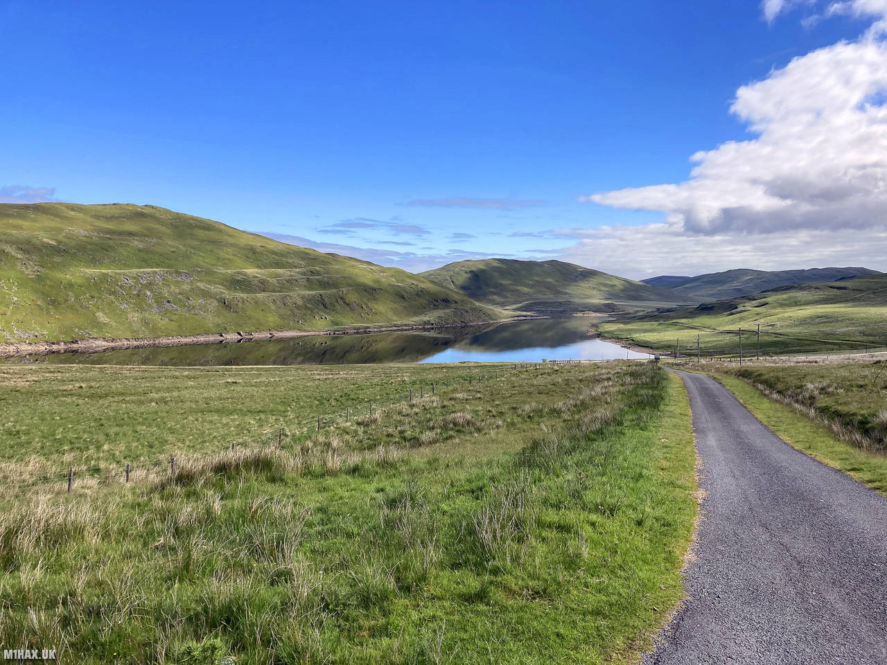
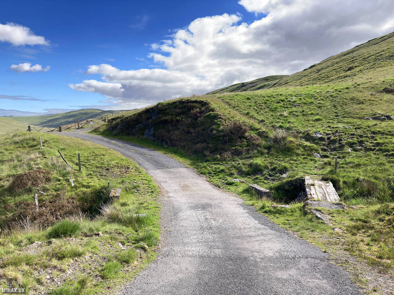
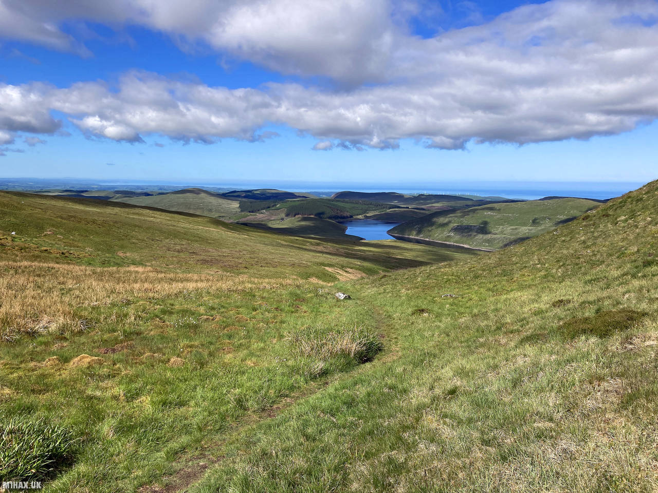
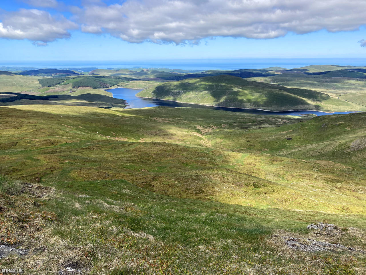
I began by parking at the end of a single-track road on the eastern side of Nant-y-moch reservoir. This remote location is peaceful and scenic, with limited parking space but rarely crowded due to its isolated position.
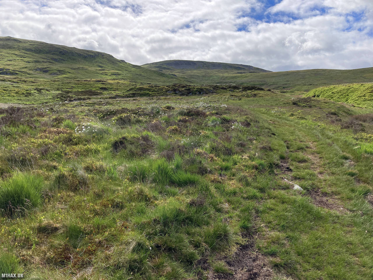
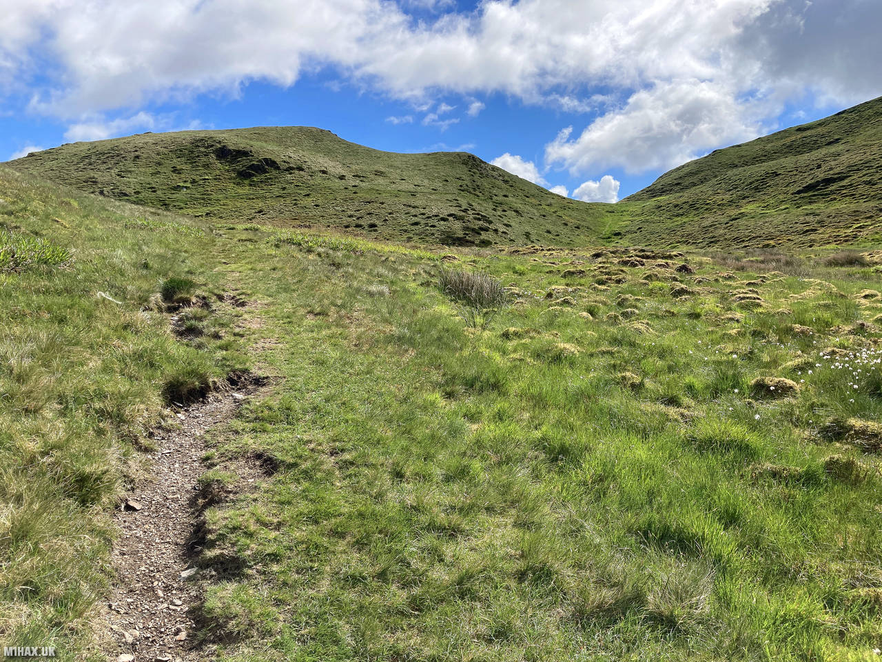
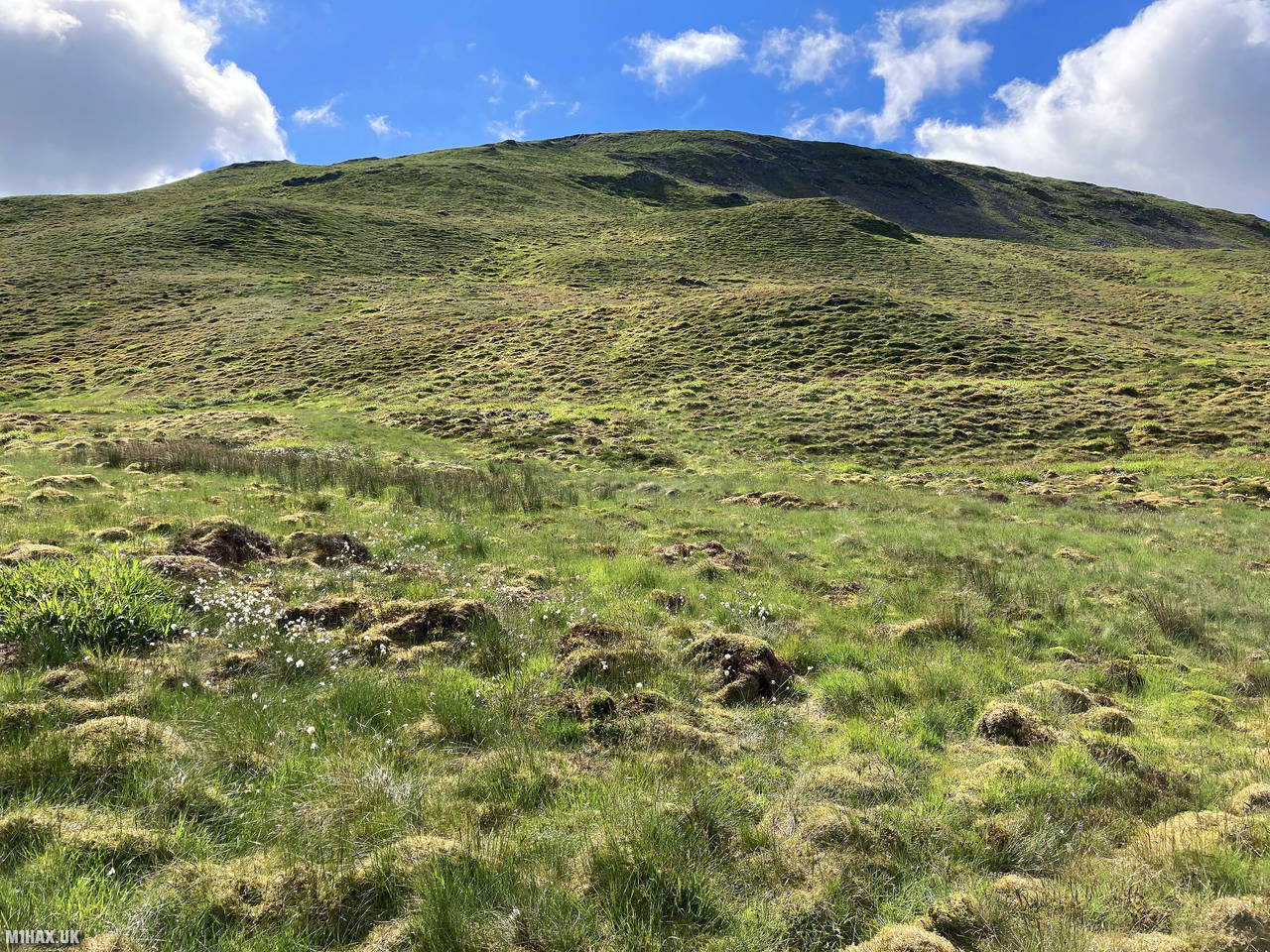
The route to the summit of Pen Pumlumon Fawr follows a grassy trail heading eastward. While this is the most direct path to the summit, it’s also quite steep, gaining about 550 metres of elevation over roughly 2.5 kilometres of walking distance.
Despite the steepness, I made steady progress, stopping occasionally to take in the spectacular panoramic views of the Welsh countryside. The path is generally obvious, though can be boggy in places after wet weather.
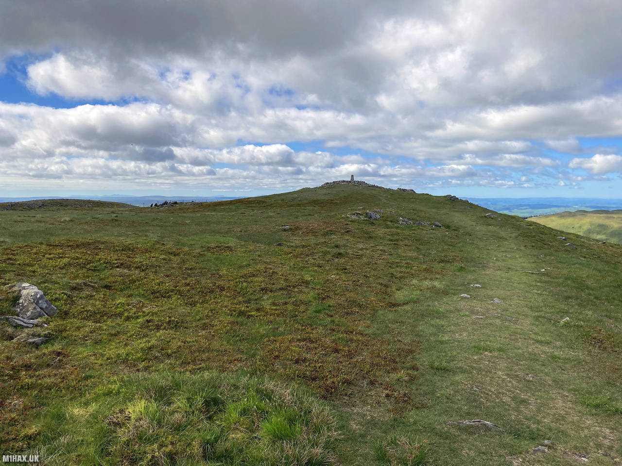
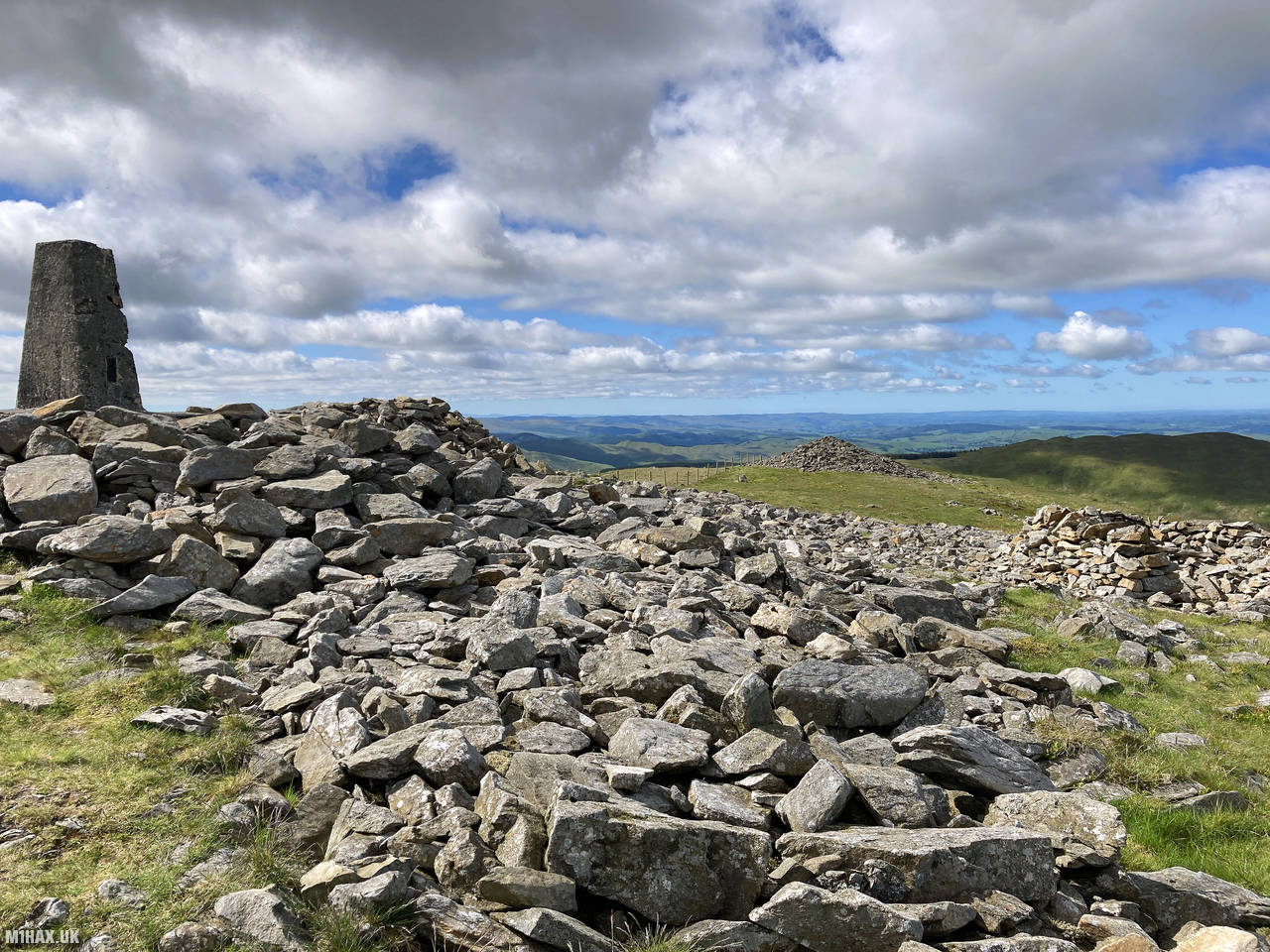
After a relatively short but strenuous climb, I reached the summit where a trig point and stone shelters marked the top. The grassy summit area is reasonably spacious and interspersed with piles of stones. Two stone summit shelters provide welcome refuge from the wind, with either offering an excellent operating position.
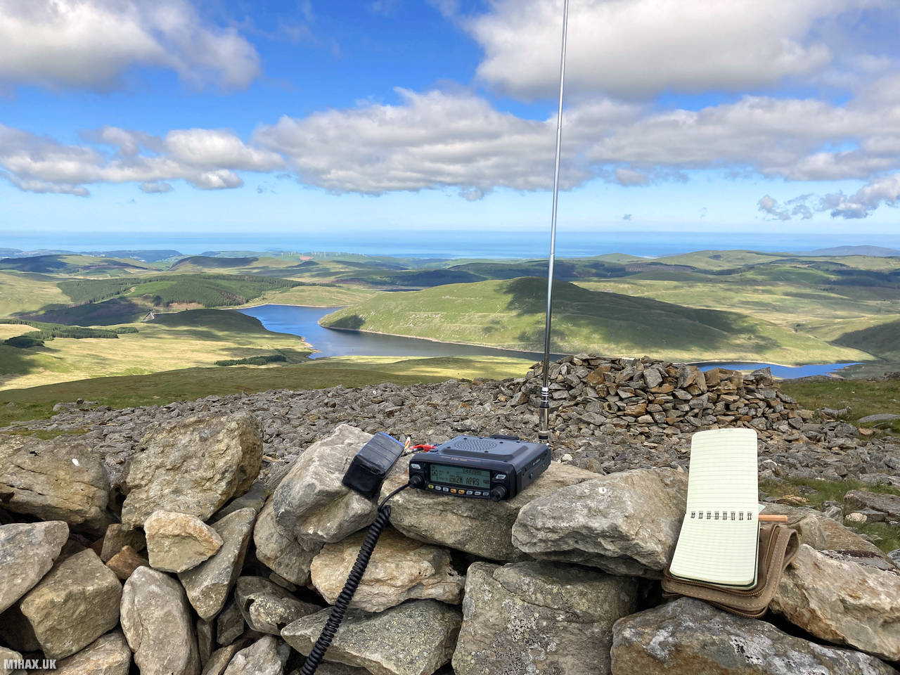
I set up my Yaesu FTM100D radio in the larger of the two shelters. From this superb vantage point, I had clear views of the next two summits on my planned circuit, helping me to visualize the route ahead.
As the highest point in Mid Wales, the summit offered good VHF radio performance. I made 13 contacts on the 2-metre band, including both standard FM and Yaesu digital voice (C4FM) modes. Notable contacts included two summit-to-summit (S2S) QSOs: one with John GW4TQE/P on Corndon Hill (GW/MW-013) and another with Tom M1EYP/P on The Cloud (G/SP-015) in both FM and DV modes.
While it would have been tempting to spend more time operating from this lofty perch on such a beautiful day, I still had a long hike ahead to complete my three-summit circuit. I packed away my equipment and departed the summit, heading north towards the next objective, Banc Llechwedd-mawr.
Photos
Below are some photographs taken during my activation of Pen Pumlumon Fawr on Sunday 13th June, 2021.


Walking Route for Pen Pumlumon Fawr
The interactive map below shows my GPS track taken to the SOTA activation zone for Pen Pumlumon Fawr. Note that this summit was activated as part of a multi-summit hike and the map below shows the full route taken on the day. The GW/MW-001 summit area is marked on the map with a blue pin icon.
You can download the route shown above as a GPX file suitable for use with most GPS devices. This file is provided for information only, to support your own walk planning and research (it may contain navigation errors, detours and/or safety hazards). The route downloads provided here are governed by the Creative Commons BY-NC-SA 4.0 licence.
Station Log
I logged the following 13 amateur radio contacts operating as MW1HAX/P from GW/MW-001 Pen Pumlumon Fawr on Sunday 13th June, 2021 (all times shown are UTC):
| Time | Callsign | Band | Mode | Notes |
|---|---|---|---|---|
| 09:21 | GW4TQE/P | 2m | FM | John, 5/9, S2S GW/MW-013 |
| 09:23 | G8XYJ | 2m | FM | Matt, 5/4 |
| 09:24 | G8XYJ | 2m | DV | Matt, 5/9 |
| 09:27 | M0OVW | 2m | DV | Gillian, 5/5 |
| 09:28 | G0RQL | 2m | DV | Don, 5/2 |
| 09:31 | MW0OFA | 2m | DV | Frank, 5/9 |
| 09:32 | G4WTF | 2m | FM | Ian, 5/5 |
| 09:33 | GW8HEB | 2m | FM | Tom, 5/8 |
| 09:34 | MW0BYS | 2m | FM | Bill, 5/9 |
| 09:35 | GW4ZPL | 2m | FM | John, 3/2 |
| 09:36 | M1EYP/P | 2m | FM | Tom, 5/9, S2S G/SP-015 |
| 09:38 | MW3DLA | 2m | FM | Aled, 5/9 |
| 09:38 | M1EYP/P | 2m | DV | Tom, 5/9, S2S G/SP-015 |
In the notes field I will usually log the other operator’s name and the signal report they provided. In accordance with the Summits on the Air rules, I do not make a log entry where a complete exchange of callsigns and signal reports was unsuccessful.
Additional Information
The following resources may be helpful to walkers, mountaineers and SOTA activators interested in Pen Pumlumon Fawr:
- Sotl.as Summit Page for GW/MW-001 Pen Pumlumon Fawr.
- Hill Bagging UK Summit Page for Pen Pumlumon Fawr.
- Google Maps Page for Pen Pumlumon Fawr.
- Wikipedia entry for Pen Pumlumon Fawr.
- 360° Panorama near summit of GW/MW-001 Pen Pumlumon Fawr.
If you found this content valuable, why not Buy Me a Coffee?