Easington Fell - G/SP-012 SOTA (2023)

Summits on the Air Activation Report
Activation Date: Tuesday 25th July, 2023.
Activator(s): Richard M1HAX.
Summit: Easington Fell, Southern Pennines, England.
Summit ID: SOTA reference G/SP-012 (1 point).
Summit Height: 396m elevation, 194m prominence.
Summit Location: Lat./Long. 53.93359, -2.41231. Maidenhead Grid IO83tw.
Distance: 2.9km travelled with 70m of ascent.
Difficulty: SAC Grade T1.(?)
Elapsed Time: 45m (including operating).
Weather: 15°C, light breeze, cloudy.
Radio Equipment: Yaesu FTM100D, MFJ-1714, Zippy 4200mAh 4S LiFePo4.
Callsign Used: M1HAX/P.
Contacts: 4 (2m FM).
Trip Notes
Easington Fell, standing at 396 metres, is a Marilyn in the Forest of Bowland, Lancashire. The summit holds a curious distinction: it has been precisely surveyed to be just 70 centimetres higher than neighbouring Waddington Fell, a margin so slim that accurate measurement was essential to determine which hill qualified for Marilyn status. With 194 metres of prominence, Easington Fell comfortably meets the 150-metre threshold.
I tackled this summit as my second activation of the day, having completed Longridge Fell earlier that afternoon. Both hills sit within easy reach of one another in the Southern Pennines, making them an ideal pairing for SOTA activities.
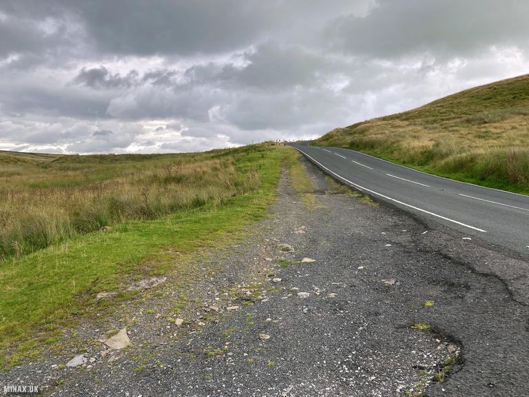
Parking is available roadside along the Slaidburn Road, with space for a small number of cars. If the nearest spots are occupied, alternative parking can be found further south along the same road. From here, the walk to the summit takes approximately 45 minutes at a comfortable pace.
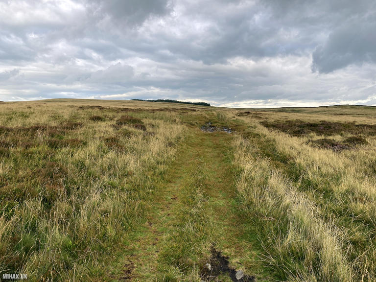
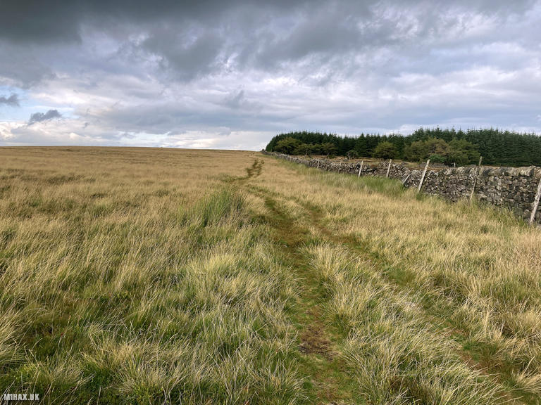
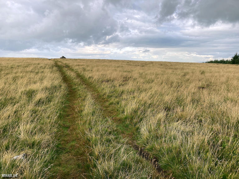
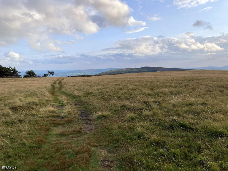
The route follows an obvious grassy quad track heading east from the road. The going is straightforward with no navigation challenges in clear conditions. After the initial section, the track turns to a northeast direction, climbing gently across open moorland towards the summit.
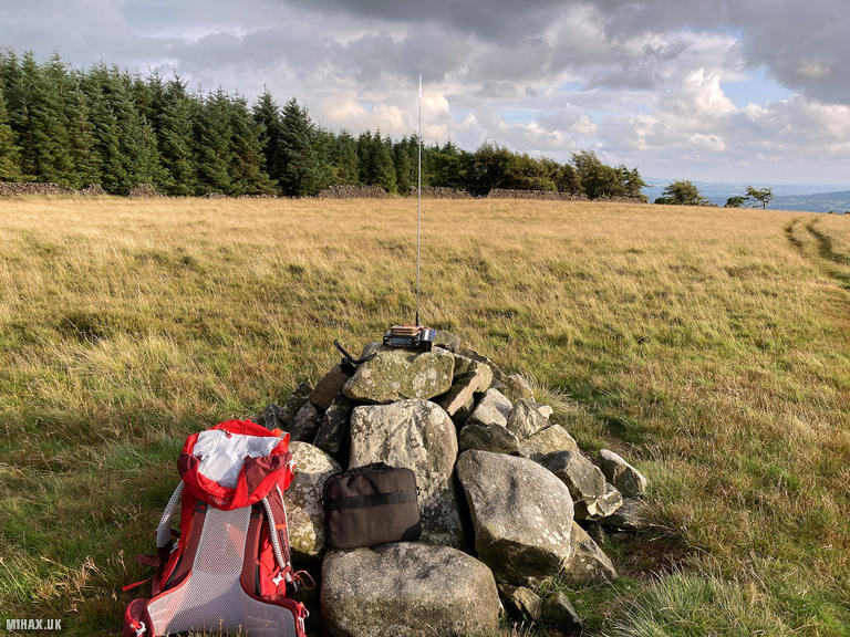
The trig point marks the highest ground, surrounded by expansive views across the Lancashire countryside. The Forest of Bowland stretches out in all directions, and on clear days the panorama extends considerably further. Despite these views, the summit itself is rather unremarkable in character, lacking the dramatic features found on some of its neighbours.
With evening drawing on, I set up my Yaesu FTM100D with the MFJ-1714 antenna and quickly worked four stations on 2-metre FM. Phil M1EIB, Craig 2E0VRX, Alan M1DHA, and Mike G4BLH all provided solid contacts with excellent signal reports. The entire radio operation took barely five minutes.
The return journey followed the same route back to the car, completing a circular time of under 45 minutes including the radio activation. The total distance covered was just 2.9 kilometres with approximately 70 metres of ascent.
Easington Fell makes for a pleasant short walk with good views, and pairs well with other nearby summits for a productive day of SOTA activating. While not the most dramatic Marilyn in the region, it offers easy access and reliable VHF propagation to the populated areas of Lancashire and beyond.
Photos
Below are some photographs taken during my activation of Easington Fell on Tuesday 25th July, 2023.
Walking Route for Easington Fell
The interactive map below shows my GPS track taken to the SOTA activation zone for Easington Fell. The G/SP-012 summit area is marked on the map with a blue pin icon.
You can download the route shown above as a GPX file suitable for use with most GPS devices. This file is provided for information only, to support your own walk planning and research (it may contain navigation errors, detours and/or safety hazards). The route downloads provided here are governed by the Creative Commons BY-NC-SA 4.0 licence.
Station Log
I logged the following 4 amateur radio contacts operating as M1HAX/P from G/SP-012 Easington Fell on Tuesday 25th July, 2023 (all times shown are UTC):
| Time | Callsign | Band | Mode | Notes |
|---|---|---|---|---|
| 18:36 | M1EIB | 2m | FM | Phil, 5/7 |
| 18:36 | 2E0VRX | 2m | FM | Craig, 5/9 |
| 18:38 | M1DHA | 2m | FM | Alan, 5/9 |
| 18:41 | G4BLH | 2m | FM | Mike, 5/9 |
In the notes field I will usually log the other operator’s name and the signal report they provided. In accordance with the Summits on the Air rules, I do not make a log entry where a complete exchange of callsigns and signal reports was unsuccessful.
Additional Information
The following resources may be helpful to walkers, mountaineers and SOTA activators interested in Easington Fell:
- Sotl.as Summit Page for G/SP-012 Easington Fell.
- Hill Bagging UK Summit Page for Easington Fell.
- Google Maps Page for Easington Fell.
- Wikipedia entry for Easington Fell.
If you found this content valuable, why not Buy Me a Coffee?