Ward's Stone - G/SP-003 SOTA (2023)
Summits on the Air Activation Report
Activation Date: Thursday 27th July, 2023.
Activator(s): Richard M1HAX.
Summit: Ward’s Stone, Southern Pennines, England.
Summit ID: SOTA reference G/SP-003 (2 points).
Summit Height: 563m elevation, 395m prominence.
Summit Location: Lat./Long. 54.02302, -2.62434. Maidenhead Grid IO84qa.
Distance: 10.1km travelled with 410m of ascent.
Difficulty: SAC Grade T2.(?)
Elapsed Time: 2h 15m (including operating).
Weather: 17°C, dead calm, low cloud.
Radio Equipment: Yaesu FTM100D, MFJ-1714, Zippy 4200mAh 4S LiFePo4.
Callsign Used: M1HAX/P.
Contacts: 6 (2m FM).
Trip Notes
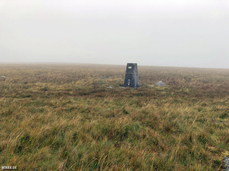
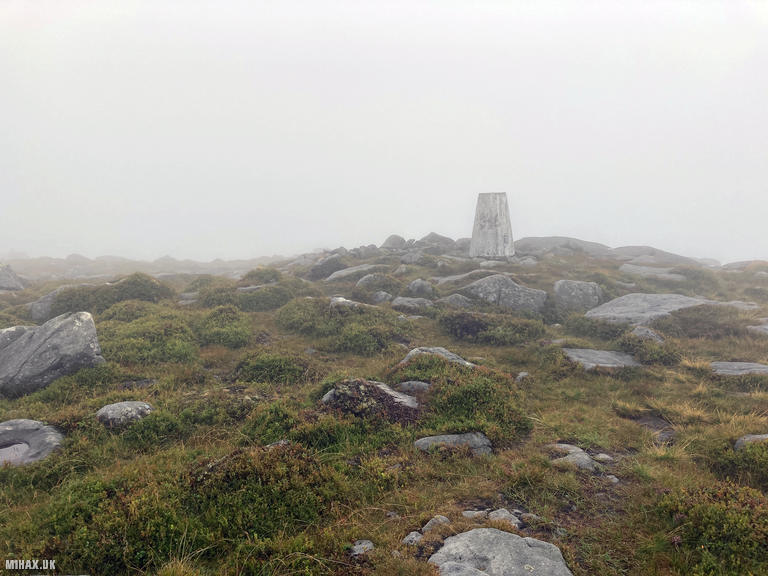
Ward’s Stone is the highest point in Lancashire, standing at 563 metres in the heart of the Forest of Bowland. With 401 metres of prominence, it qualifies as both a Marilyn and a Dewey, making it a significant summit for peak baggers. The expansive moorland plateau hosts two trig points, an unusual feature that reflects the difficulty surveyors historically faced in determining the true high point on such flat, featureless terrain.
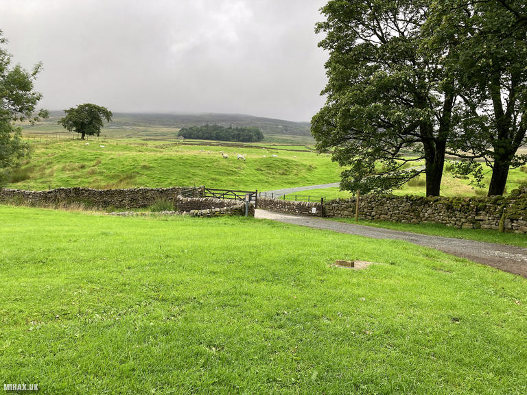
For this activation, I started from the rural hamlet of Tarnbrook, due south of the summit. Parking here proved problematic. There is nowhere to park in Tarnbrook itself, and I got the distinct impression that visiting walkers are not particularly welcome. I eventually parked some distance up the road on a grassy verge, where the ground was wet but firm enough for the car.
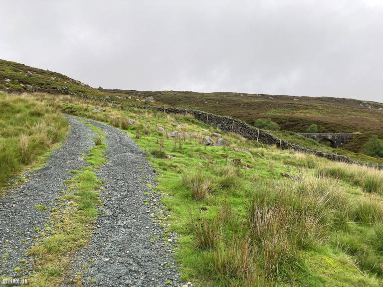
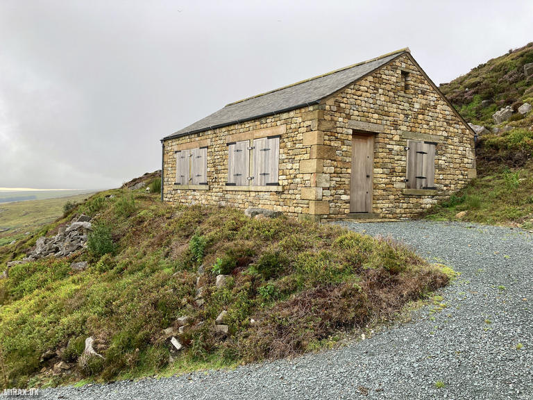
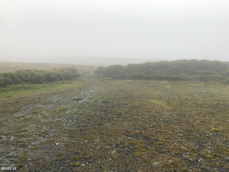
Walking into Tarnbrook along the road, a gravel track heads up the hill, passing what appears to be a relatively new hunting lodge structure towards the end of the road. The weather was decidedly uncooperative, with rain and low-hanging mist reducing visibility considerably.
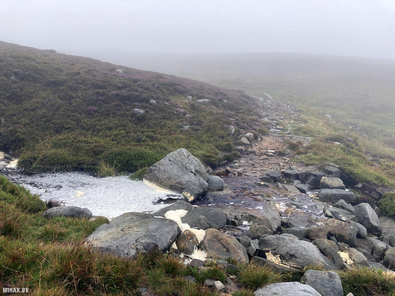
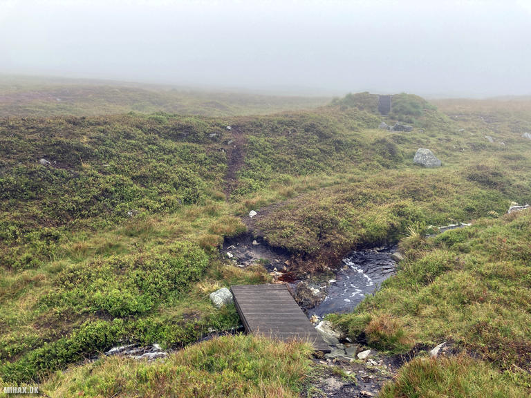
After the road ends, I continued north towards the summit following an obvious footpath. This path eventually dissipated into nothing, leaving me to navigate across boggy heather and jump between peat hags in an attempt to keep dry. Progress through this section was slow and required careful route-finding. Several grouse shooting butts dot this area, providing occasional landmarks in the murk.
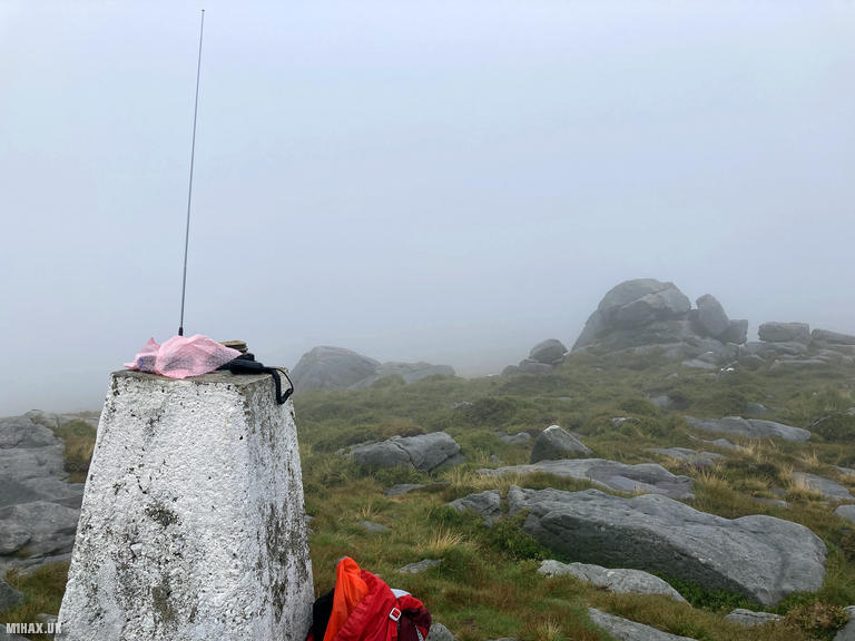
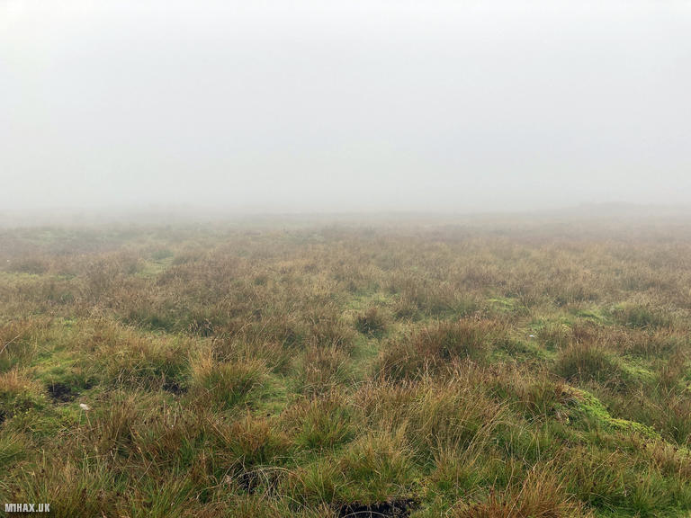
Upon reaching the summit plateau, I headed to the western trig point for my SOTA activity. The activation zone here is large enough that both trig points fall within it, offering ample room for larger antenna systems if desired. Despite the poor visibility, the dead calm conditions made operating comfortable.
Setting up my Yaesu FTM100D with the MFJ-1714 antenna, I worked six stations on 2-metre FM in quick succession. Contacts included Nigel G0MEJ/M, John GW4ZPL in Wales, and Don M0CZU/P. This activation completed a “SOTA Complete” for me on Ward’s Stone, having previously chased M1FHM/P here on 31st July 2020 during a summit-to-summit contact.
The return followed the same route back to the car, completing a circuit of 10.1 kilometres with 410 metres of ascent in around two and a quarter hours.
I enjoyed this walk but would be inclined to find an alternative route if revisiting. Approaching from the Jubilee Tower to the west offers a longer route but easier parking and likely better paths. The Tarnbrook approach, while direct, presents both access challenges and rough terrain that makes it less appealing than the western alternatives.
Photos
Below are some photographs taken during my activation of Ward’s Stone on Thursday 27th July, 2023.

Walking Route for Ward’s Stone
The interactive map below shows my GPS track taken to the SOTA activation zone for Ward’s Stone. The G/SP-003 summit area is marked on the map with a blue pin icon.
You can download the route shown above as a GPX file suitable for use with most GPS devices. This file is provided for information only, to support your own walk planning and research (it may contain navigation errors, detours and/or safety hazards). The route downloads provided here are governed by the Creative Commons BY-NC-SA 4.0 licence.
Station Log
I logged the following 6 amateur radio contacts operating as M1HAX/P from G/SP-003 Ward’s Stone on Thursday 27th July, 2023 (all times shown are UTC):
| Time | Callsign | Band | Mode | Notes |
|---|---|---|---|---|
| 18:38 | G0MEJ/M | 2m | FM | Nigel, 5/9 |
| 18:41 | GW4ZPL | 2m | FM | John, 5/7 |
| 18:42 | M0CZU/P | 2m | FM | Don, 5/7 |
| 18:43 | M7MCG/M | 2m | FM | Mick, 5/9 |
| 18:44 | M5XYZ | 2m | FM | Chris, 5/9 |
| 18:45 | M0RSF | 2m | FM | Chris, 5/6 |
In the notes field I will usually log the other operator’s name and the signal report they provided. In accordance with the Summits on the Air rules, I do not make a log entry where a complete exchange of callsigns and signal reports was unsuccessful.
Additional Information
The following resources may be helpful to walkers, mountaineers and SOTA activators interested in Ward’s Stone:
- Sotl.as Summit Page for G/SP-003 Wards Stone.
- Hill Bagging UK Summit Page for Wards Stone.
- Google Maps Page for Wards Stone.
- Wikipedia entry for Wards Stone.
If you found this content valuable, why not Buy Me a Coffee?