Buckden Pike - G/NP-009 SOTA (2023)
Summits on the Air Activation Report
Activation Date: Saturday 23rd September, 2023.
Activator(s): Richard M1HAX.
Summit: Buckden Pike, Northern Pennines, England.
Summit ID: SOTA reference G/NP-009 (6 points).
Summit Height: 702m elevation, 207m prominence.
Summit Location: Lat./Long. 54.20487, -2.06160. Maidenhead Grid IO84xe.
Distance: 10.1km travelled with 253m of ascent.
Difficulty: SAC Grade T1.(?)
Elapsed Time: 3h 5m (including operating).
Weather: 10°C, light breeze, light rain.
Radio Equipment: Yaesu FTM100D, MFJ-1714, Zippy 4200mAh 4S LiFePo4.
Callsign Used: M1HAX/P.
Contacts: 8 (2m FM).
Trip Notes
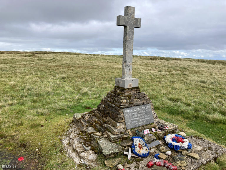
Buckden Pike, standing at 702 metres in the Yorkshire Dales, is one of the more prominent summits in the Northern Pennines SOTA region. With 208 metres of prominence, it qualifies as a Marilyn, Simm, Hewitt, and Nuttall, making it a significant target for peak baggers pursuing multiple lists. The summit is notable for its memorial cross, which commemorates Polish airmen who died when their Wellington bomber crashed here in 1942, and an annual Remembrance service is held on the fell.
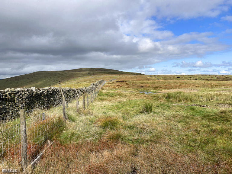
This activation was the first of two Northern Pennines summits I planned to tackle on this September day, with Great Whernside to follow. I chose to approach from Cam Gill Road to the east of the summit, a longer but less steep route than the popular ascent from Cray to the west. This parking spot conveniently serves both summits, allowing an efficient two-hill day without moving the car.
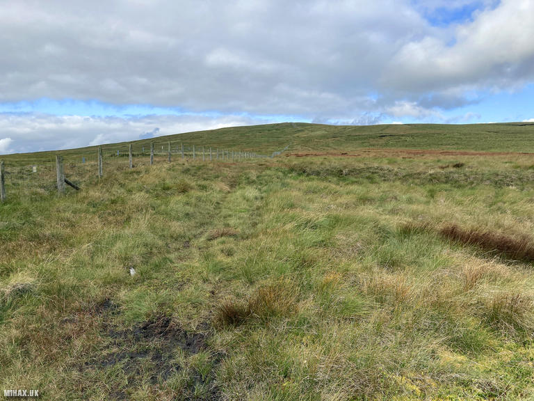
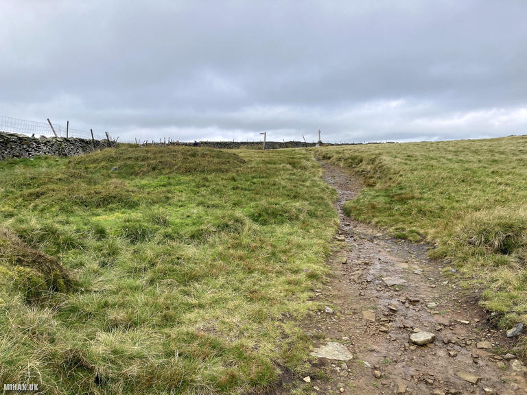
The initial stages of the ascent proved challenging, with very boggy conditions underfoot. The grassy terrain had absorbed recent rainfall, making progress slow and requiring careful foot placement to avoid the worst of the waterlogged ground. This section would be considerably easier during drier months, and I would recommend timing a visit accordingly if possible.
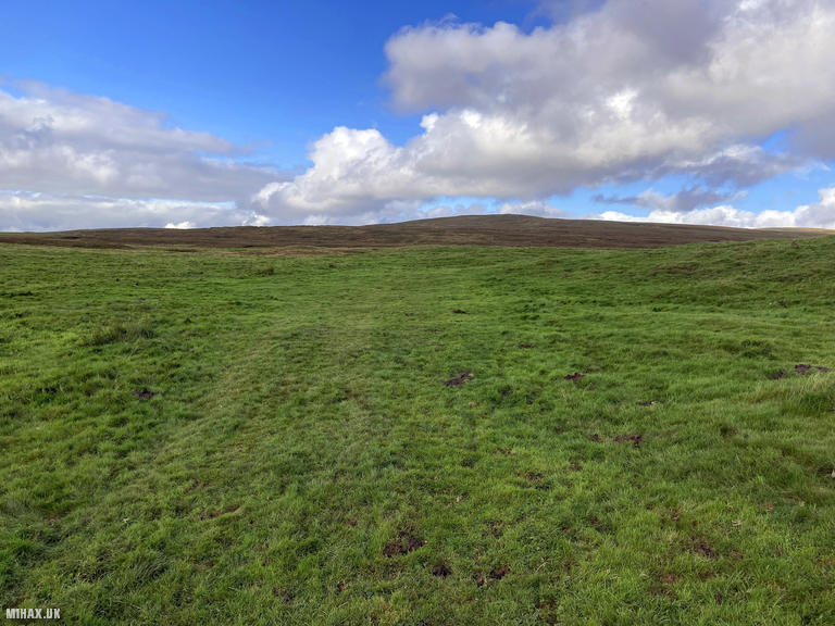
Conditions improved significantly at higher elevation. The footpath quality became much better as I gained height, with firmer ground and clearer navigation. The light rain that accompanied me throughout added to the atmospheric conditions but posed no real difficulty.
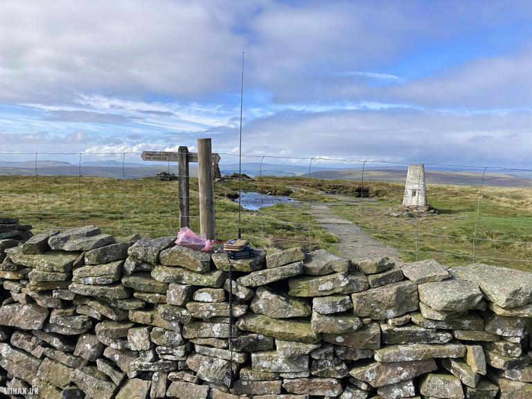
The summit area is grassy with a substantial stone wall, stile, and trig point providing shelter options for radio operations. I set up my Yaesu FTM100D with the MFJ-1714 antenna and found conditions on 2-metre FM to be quite good despite the weather.
The highlight of my contacts was a summit-to-summit with Richard 2E0XGO/P, who was operating from Sharp Haw (G/NP-029) approximately 23 kilometres to the south. I also managed a contact into Scotland with Tony GM1VLA, demonstrating the excellent VHF take-off from this elevated position. In total, I worked eight stations including Mark G7SXR, Andy 2E0VVF, Walt G6XBF, Gaz M7GAX, Paul G4JNN, and Cliff M6IBH, all with strong signal reports.
With the activation complete in approximately ten minutes, I packed away my equipment and began the descent. The total circuit covered 10.1 kilometres with 253 metres of ascent, taking just over three hours including operating time. Upon returning to the car, I headed directly for Great Whernside to complete my second activation of the day.
Buckden Pike is a rewarding summit that offers good VHF propagation and straightforward navigation in clear conditions. The boggy lower slopes are best avoided during wet periods, but the upper mountain provides excellent walking on well-maintained paths. For those planning a multi-summit day, combining this with Great Whernside from the Cam Gill Road parking area makes for an efficient and satisfying outing.
Photos
Below are some photographs taken during my activation of Buckden Pike on Saturday 23rd September, 2023.

Walking Route for Buckden Pike
The interactive map below shows my GPS track taken to the SOTA activation zone for Buckden Pike. The G/NP-009 summit area is marked on the map with a blue pin icon.
You can download the route shown above as a GPX file suitable for use with most GPS devices. This file is provided for information only, to support your own walk planning and research (it may contain navigation errors, detours and/or safety hazards). The route downloads provided here are governed by the Creative Commons BY-NC-SA 4.0 licence.
Station Log
I logged the following 8 amateur radio contacts operating as M1HAX/P from G/NP-009 Buckden Pike on Saturday 23rd September, 2023 (all times shown are UTC):
| Time | Callsign | Band | Mode | Notes |
|---|---|---|---|---|
| 11:23 | 2E0XGO/P | 2m | FM | Richard, 5/9, S2S G/NP-029 |
| 11:26 | G7SXR | 2m | FM | Mark, 5/9 |
| 11:27 | 2E0VVF | 2m | FM | Andy, 5/8 |
| 11:29 | G6XBF | 2m | FM | Walt, 5/9 |
| 11:30 | M7GAX | 2m | FM | Gaz, 5/9 |
| 11:30 | G4JNN | 2m | FM | Paul, 5/9 |
| 11:32 | GM1VLA | 2m | FM | Tony, 5/6 |
| 11:33 | M6IBH | 2m | FM | Cliff, 5/9 |
In the notes field I will usually log the other operator’s name and the signal report they provided. In accordance with the Summits on the Air rules, I do not make a log entry where a complete exchange of callsigns and signal reports was unsuccessful.
Additional Information
The following resources may be helpful to walkers, mountaineers and SOTA activators interested in Buckden Pike:
- Sotl.as Summit Page for G/NP-009 Buckden Pike.
- Hill Bagging UK Summit Page for Buckden Pike.
- Google Maps Page for Buckden Pike.
- Wikipedia entry for Buckden Pike.
If you found this content valuable, why not Buy Me a Coffee?