Cracoe Fell - G/NP-032 SOTA (2023)

Summits on the Air Activation Report
Activation Date: Thursday 28th September, 2023.
Activator(s): Richard M1HAX.
Summit: Cracoe Fell, Northern Pennines, England.
Summit ID: SOTA reference G/NP-032 (2 points).
Summit Height: 508m elevation, 310m prominence.
Summit Location: Lat./Long. 54.02553, -2.01200. Maidenhead Grid IO84xa.
Distance: 5.4km travelled with 295m of ascent.
Difficulty: SAC Grade T1.(?)
Elapsed Time: 1h 20m (including operating).
Weather: 11°C, moderate breeze, light rain.
Radio Equipment: Elecraft KX2, Elecraft AX1.
Callsign Used: M1HAX/P.
Contacts: 7 (20m SSB, 17m SSB).
Trip Notes
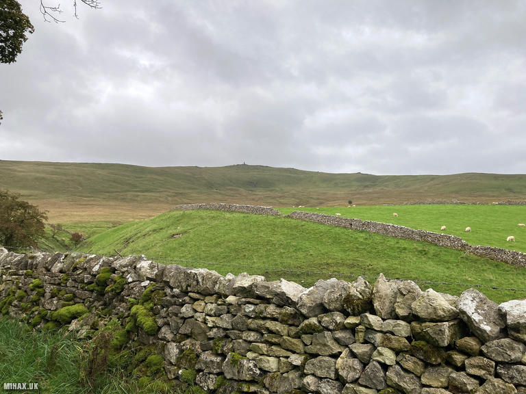
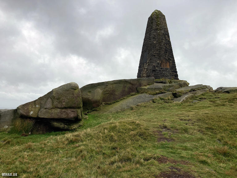
Cracoe Fell, standing at 508 metres in the Yorkshire Dales, is instantly recognisable by the tall stone obelisk that crowns its summit. This prominent monument, visible from miles around, was erected in 1814 to commemorate the defeat of Napoleon and serves as both a landmark and a convenient waypoint for walkers approaching from any direction. With 310 metres of prominence, the fell qualifies as both a Marilyn and a Dewey.
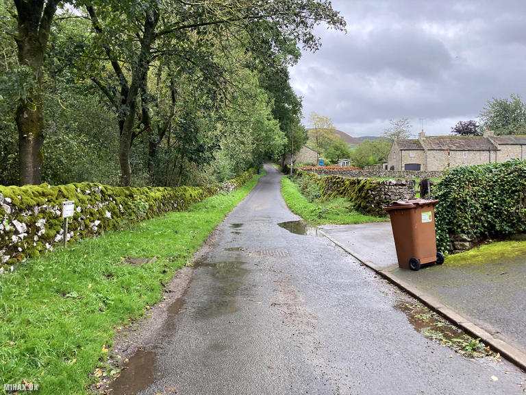
Several hiking routes lead to the summit of Cracoe Fell. I opted to start from the village of Cracoe to the northwest. Parking is limited in this area, with the main options being the Devonshire Arms pub or the Parlour Cafe Farm Shop. I chose the latter without any problems, though I would recommend checking opening times if planning to combine your walk with refreshments.
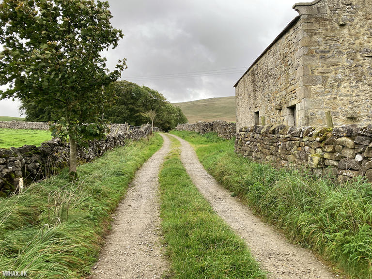
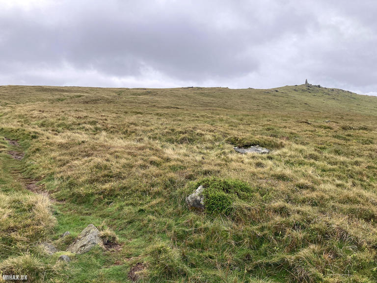
Heading southeast along Fell Lane, the gravel road soon gives way to an obvious footpath heading towards the northern edge of the hill. The obelisk at the summit was readily visible throughout the approach, marking the goal and providing constant reassurance of direction. This is a walk where getting lost would take considerable effort.
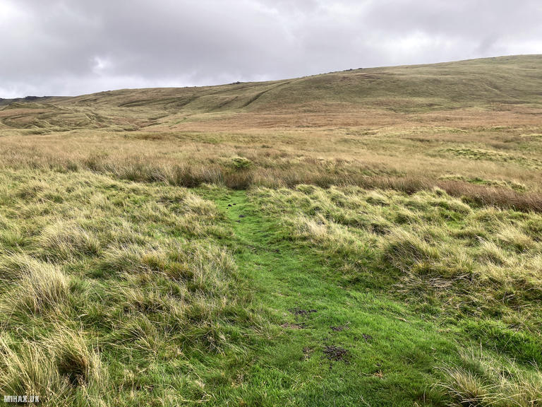
After approximately two kilometres, the path strikes up the incline of the hill across grass. While there is a defined path for much of the way, some wet boggy sections required careful navigation on the lower slopes. The conditions underfoot improved as height was gained.
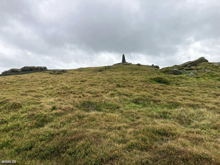
Following the faint path upwards, I arrived at a very windy Cracoe Fell summit. The stone formations around the monument lent themselves well to setting up the radio, providing both shelter and convenient surfaces for equipment. I tuned my Elecraft KX2 with the compact AX1 antenna and began calling on 20-metre SSB.
The contacts came quickly: Lars SA4BLM in Sweden, Aleksander S57S in Slovenia, Henry OE5HDN in Austria, Mariusz SP6KEP in Poland, and Gerhart OE6GND also in Austria. The band was clearly favouring continental Europe. Moving to 17 metres, I completed a summit-to-summit contact with Stavros SV2RUJ/P on Podariko (SV/TL-087) in Greece, a distance of approximately 2,300 kilometres. Stavros is a prolific SOTA activator who can often be found operating from summits in the Thessaly region.
After packing away the radio, I retraced my steps back down the path towards Fell Lane and on to the car parked at the farm shop. I had hoped to pick up a snack at the cafe upon my return, but sadly it was shut for renovations.
The total circuit covered 5.4 kilometres with 295 metres of ascent, completed in just under ninety minutes including operating time. Cracoe Fell is a very pleasant small hill well worth a walk up if you are in the area, and its distinctive monument makes for excellent photographs in most lighting conditions.
Photos
Below are some photographs taken during my activation of Cracoe Fell on Thursday 28th September, 2023.

Walking Route for Cracoe Fell
The interactive map below shows my GPS track taken to the SOTA activation zone for Cracoe Fell. The G/NP-032 summit area is marked on the map with a blue pin icon.
You can download the route shown above as a GPX file suitable for use with most GPS devices. This file is provided for information only, to support your own walk planning and research (it may contain navigation errors, detours and/or safety hazards). The route downloads provided here are governed by the Creative Commons BY-NC-SA 4.0 licence.
Station Log
I logged the following 7 amateur radio contacts operating as M1HAX/P from G/NP-032 Cracoe Fell on Thursday 28th September, 2023 (all times shown are UTC):
| Time | Callsign | Band | Mode | Notes |
|---|---|---|---|---|
| 10:59 | SA4BLM | 20m | SSB | Lars, 5/5 |
| 11:00 | S57S | 20m | SSB | Aleksander, 5/9 |
| 11:01 | OE5HDN | 20m | SSB | Henry, 5/1 |
| 11:02 | SP6KEP | 20m | SSB | Mariusz, 5/7 |
| 11:03 | OE6GND | 20m | SSB | Gerhart, 5/7 |
| 11:04 | S57ILF | 20m | SSB | Franci, 4/4 |
| 11:08 | SV2RUJ/P | 17m | SSB | Stavros, 3/3, S2S SV/TL-087 |
In the notes field I will usually log the other operator’s name and the signal report they provided. In accordance with the Summits on the Air rules, I do not make a log entry where a complete exchange of callsigns and signal reports was unsuccessful.
Additional Information
The following resources may be helpful to walkers, mountaineers and SOTA activators interested in Cracoe Fell:
- Sotl.as Summit Page for G/NP-032 Cracoe Fell.
- Hill Bagging UK Summit Page for Cracoe Fell.
- Google Maps Page for Cracoe Fell.
- Wikipedia entry for Cracoe Fell.
If you found this content valuable, why not Buy Me a Coffee?