Fountains Fell - G/NP-017 SOTA (2023)
Summits on the Air Activation Report
Activation Date: Monday 25th September, 2023.
Activator(s): Richard M1HAX.
Summit: Fountains Fell, Northern Pennines, England.
Summit ID: SOTA reference G/NP-017 (4 points).
Summit Height: 668m elevation, 243m prominence.
Summit Location: Lat./Long. 54.13993, -2.20941. Maidenhead Grid IO84vd.
Distance: 5.4km travelled with 300m of ascent.
Difficulty: SAC Grade T1.(?)
Elapsed Time: 1h 30m (including operating).
Weather: 13°C, strong wind, cloudy.
Radio Equipment: Yaesu FTM100D, MFJ-1714, Zippy 4200mAh 4S LiFePo4.
Callsign Used: M1HAX/P.
Contacts: 8 (2m FM).
Trip Notes
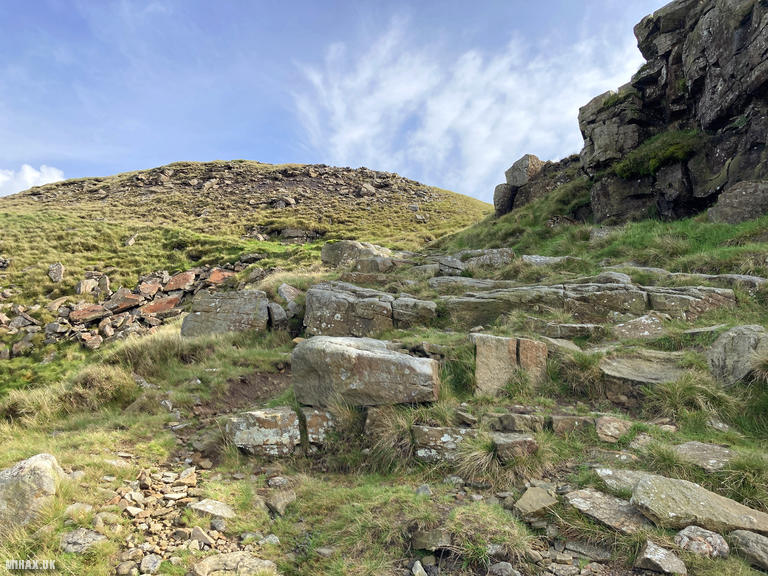
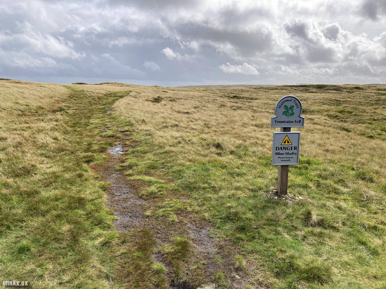
Fountains Fell, standing at 668 metres in the Yorkshire Dales, takes its name from Fountains Abbey, the Cistercian monastery near Ripon that once owned extensive grazing rights in this area. With 243 metres of prominence, it qualifies as a Marilyn, Simm, Hewitt, and Nuttall. The fell’s broad, flat summit plateau bears evidence of historical lead mining activity, and the remains of coal pits can still be found scattered across its upper slopes.
This was my second summit of the day, having completed Pen-y-ghent earlier that morning. Both hills can be accessed from roadside parking along Silverdale Road, though I moved the car a short distance up the road between activations to optimise the approach to each summit.
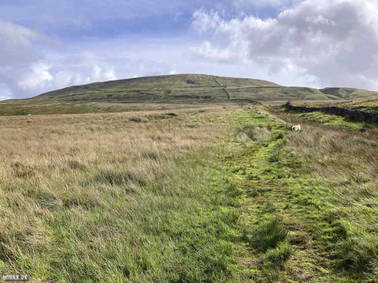
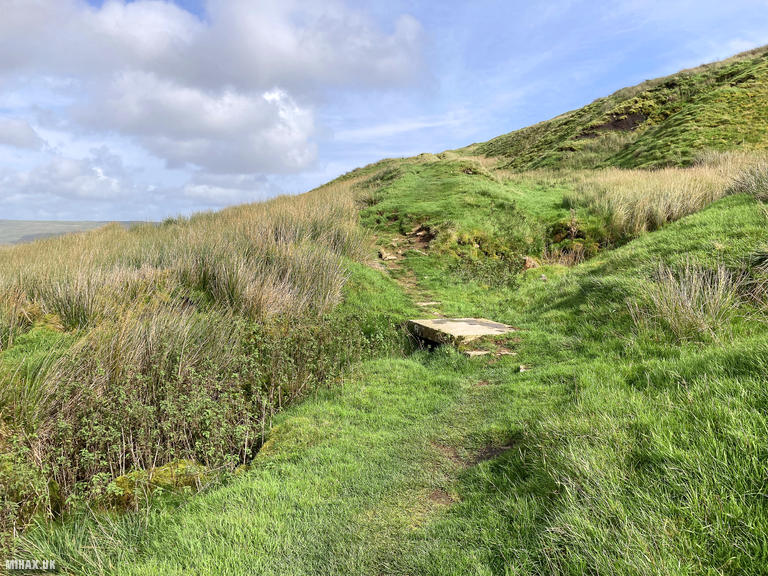
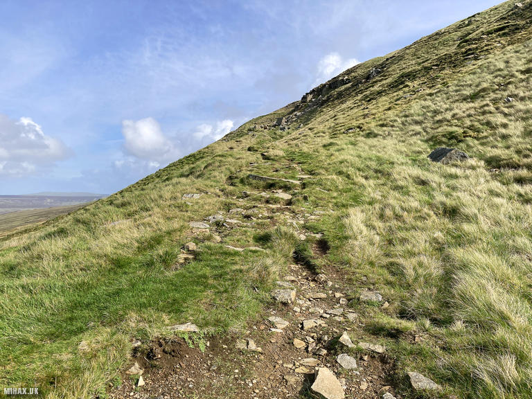
The route to Fountains Fell from Silverdale Road is a very pleasant Pennines walk. The path begins along well-maintained gravel tracks before transitioning to grass as height is gained. Navigation presents no difficulties in clear conditions, with the route obvious throughout.
The ascent is steady rather than steep, making for comfortable progress even with heavy radio equipment in the rucksack. The strong wind that had been present all day continued, though the cloudy conditions kept temperatures reasonable at around 13C.
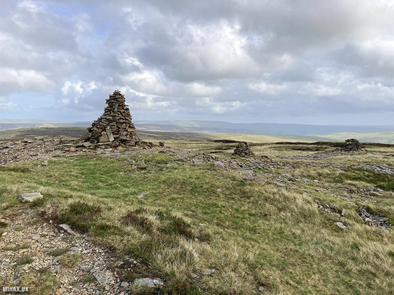
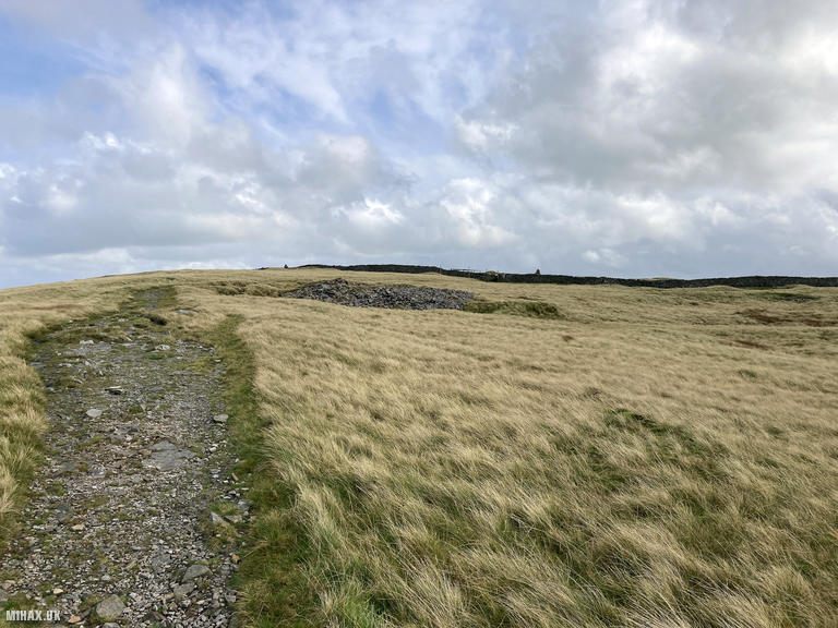
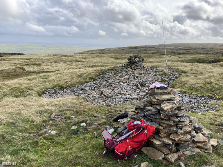
The summit area is spacious and grassy, dominated by several large cairns. The true high point is actually a grassy knoll approximately 15 metres north of the main cairn, though the difference is negligible for SOTA purposes. There is ample room to set up antennas away from the cairns and any other walkers who might be present.
Setting up my Yaesu FTM100D with the MFJ-1714 antenna in the lee of one of the cairns for wind protection, I worked eight stations on 2-metre FM in quick succession. Contacts included Simeon 2E0VOE, Walt G6XBF, Dave G0PMJ, Clifford M6LKB, John G8YDC, Chris M5XYZ, and two Pauls: M0KBD and M0CQE. Signal reports ranged from 5/5 to 5/9, demonstrating the summit’s good VHF take-off despite its position amongst higher neighbouring fells.
The entire activation was completed efficiently, allowing me to pack away and begin the descent within ten minutes of arriving at the summit. The return followed the same route back to the car, completing a circuit of 5.4 kilometres with 300 metres of ascent in approximately ninety minutes including operating time.
Fountains Fell makes an excellent companion summit to Pen-y-ghent for a two-hill day from Silverdale Road. The walking is straightforward and enjoyable, with good paths throughout and a spacious summit that accommodates SOTA operations comfortably. For those with more ambitious plans, combining both with Ingleborough creates a variant of the famous Yorkshire Three Peaks challenge with added radio interest.
Photos
Below are some photographs taken during my activation of Fountains Fell on Monday 25th September, 2023.

Walking Route for Fountains Fell
The interactive map below shows my GPS track taken to the SOTA activation zone for Fountains Fell. The G/NP-017 summit area is marked on the map with a blue pin icon.
You can download the route shown above as a GPX file suitable for use with most GPS devices. This file is provided for information only, to support your own walk planning and research (it may contain navigation errors, detours and/or safety hazards). The route downloads provided here are governed by the Creative Commons BY-NC-SA 4.0 licence.
Station Log
I logged the following 8 amateur radio contacts operating as M1HAX/P from G/NP-017 Fountains Fell on Monday 25th September, 2023 (all times shown are UTC):
| Time | Callsign | Band | Mode | Notes |
|---|---|---|---|---|
| 13:02 | 2E0VOE | 2m | FM | Simeon, 5/9 |
| 13:03 | G6XBF | 2m | FM | Walt, 5/9 |
| 13:04 | G0PMJ | 2m | FM | Dave, 5/8 |
| 13:05 | M6LKB | 2m | FM | Clifford 5/6 |
| 13:06 | G8YDC | 2m | FM | John, 5/5 |
| 13:07 | M5XYZ | 2m | FM | Chris, 5/7 |
| 13:08 | M0KBD | 2m | FM | Paul, 5/8 |
| 13:10 | M0CQE | 2m | FM | Paul, 5/5 |
In the notes field I will usually log the other operator’s name and the signal report they provided. In accordance with the Summits on the Air rules, I do not make a log entry where a complete exchange of callsigns and signal reports was unsuccessful.
Additional Information
The following resources may be helpful to walkers, mountaineers and SOTA activators interested in Fountains Fell:
- Sotl.as Summit Page for G/NP-017 Fountains Fell.
- Hill Bagging UK Summit Page for Fountains Fell.
- Google Maps Page for Fountains Fell.
- Wikipedia entry for Fountains Fell.
If you found this content valuable, why not Buy Me a Coffee?