Pen-y-ghent - G/NP-010 SOTA (2023)
Summits on the Air Activation Report
Activation Date: Monday 25th September, 2023.
Activator(s): Richard M1HAX.
Summit: Pen-y-ghent, Northern Pennines, England.
Summit ID: SOTA reference G/NP-010 (4 points).
Summit Height: 694m elevation, 306m prominence.
Summit Location: Lat./Long. 54.15601, -2.24874. Maidenhead Grid IO84vd.
Distance: 3.8km travelled with 235m of ascent.
Difficulty: SAC Grade T1.(?)
Elapsed Time: 1h 45m (including operating).
Weather: 15°C, light breeze, cloudy.
Radio Equipment: Yaesu FTM100D, MFJ-1714, Zippy 4200mAh 4S LiFePo4.
Callsign Used: M1HAX/P.
Contacts: 7 (2m FM).
Trip Notes
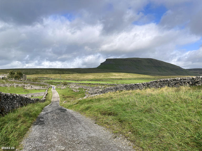
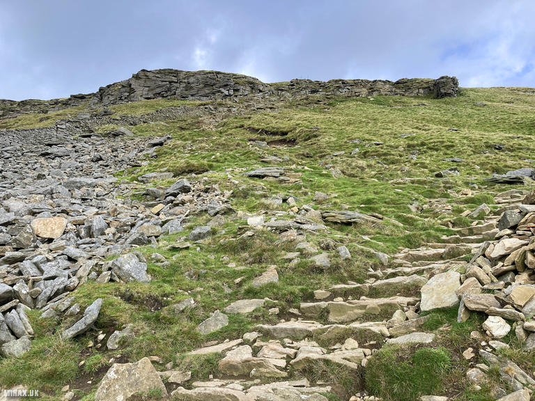
Pen-y-ghent, standing at 694 metres, is one of the iconic Yorkshire Three Peaks and perhaps the most visually striking of the trio. Its distinctive stepped profile, created by alternating bands of limestone, sandstone, and millstone grit, makes it instantly recognisable from miles around. With 305 metres of prominence, it qualifies as a Marilyn, Simm, Hewitt, and Nuttall, and remains a magnet for peak baggers and challenge walkers alike.
It was great to be back on this striking hill, having last visited during my Yorkshire Three Peaks circuit in 2020. That previous encounter had been part of a far more strenuous day covering all three summits, so this return via a gentler southern approach felt almost leisurely by comparison.
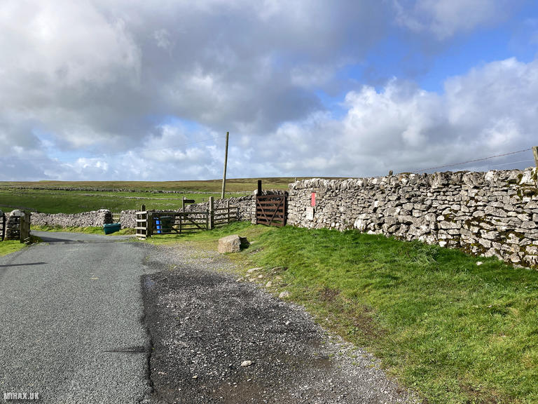
I parked on Silverdale Road to the south of the summit, where roadside parking serves both Pen-y-ghent and Fountains Fell, which I planned to tackle later the same day. The hill was visible in the distance almost entirely from the starting point, its characteristic profile drawing the eye throughout the approach.
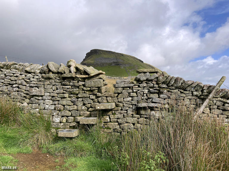
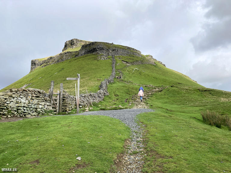
The route begins along a farm road before picking up a footpath heading north towards the summit. An interesting feature along the way is a stone stile built directly into the side of a dry-stone wall, a charming example of traditional Dales craftsmanship that has likely been in use for centuries.
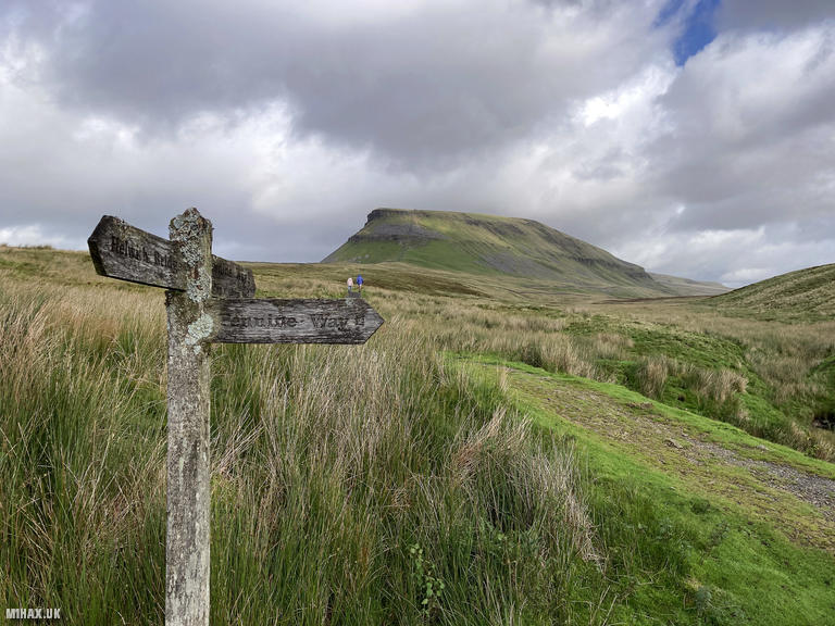
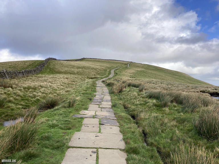
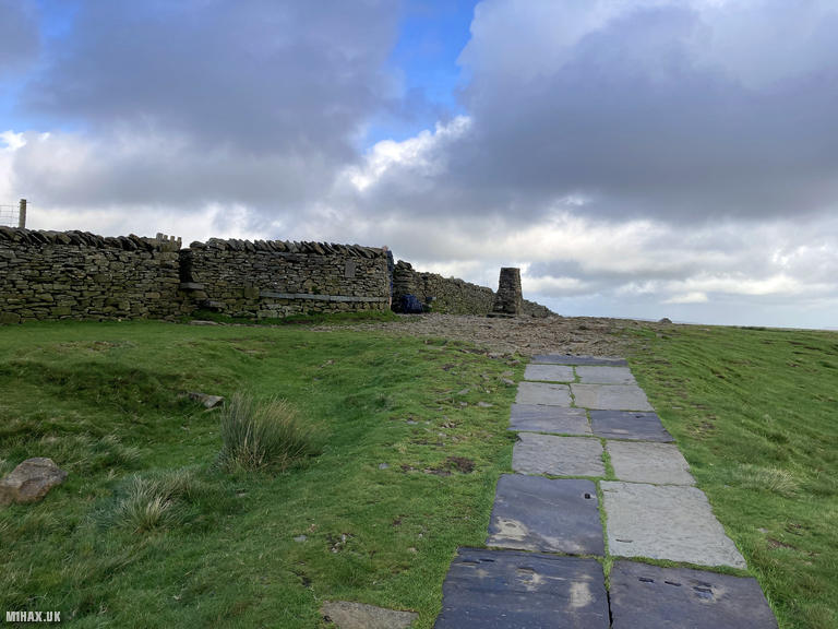
Eventually the path joins the main route from Horton in Ribblesdale, where foot traffic noticeably increases. This is the standard approach for Yorkshire Three Peaks challengers, and even on a weekday the path was busy with walkers. A very well-maintained paved footpath carries walkers the final short distance to the trig point at the summit, a luxury after some of the boggier terrain encountered on other Pennine hills.
The summit itself was busy, so I set up my Yaesu FTM100D with the MFJ-1714 antenna on top of the stone wall to gain some elevation above the crowds. This proved an effective operating position, and I worked seven stations on 2-metre FM. Contacts included Chris GW3YQP/P in Wales, Mark G7SXR, Walt G6XBF, Dave G0PMJ, Simeon 2E0VOE, Paul M0CQE, and Andy G6JJI, with signal reports ranging from 5/5 to 5/9.
The descent followed the same southern route back to the car, completing a circuit of 3.8 kilometres with 235 metres of ascent in just under two hours including operating time. The conditions had been pleasant throughout, with temperatures around 15C under cloudy skies and only a light breeze.
Pen-y-ghent from Silverdale Road offers a far quieter alternative to the busy Horton approach, with the added advantage of easy access to Fountains Fell for a rewarding two-summit day. While lacking some of the dramatic scrambling found on the steeper northern routes, it provides an enjoyable walk to one of Yorkshire’s most celebrated summits.
Photos
Below are some photographs taken during my activation of Pen-y-ghent on Monday 25th September, 2023.


Walking Route for Pen-y-ghent
The interactive map below shows my GPS track taken to the SOTA activation zone for Pen-y-ghent. The G/NP-010 summit area is marked on the map with a blue pin icon.
You can download the route shown above as a GPX file suitable for use with most GPS devices. This file is provided for information only, to support your own walk planning and research (it may contain navigation errors, detours and/or safety hazards). The route downloads provided here are governed by the Creative Commons BY-NC-SA 4.0 licence.
Station Log
I logged the following 7 amateur radio contacts operating as M1HAX/P from G/NP-010 Pen-y-ghent on Monday 25th September, 2023 (all times shown are UTC):
| Time | Callsign | Band | Mode | Notes |
|---|---|---|---|---|
| 11:13 | GW3YQP/P | 2m | FM | Chris, 5/9 |
| 11:15 | G7SXR | 2m | FM | Mark, 5/9 |
| 11:16 | G6XBF | 2m | FM | Walt, 5/9 |
| 11:19 | G0PMJ | 2m | FM | Dave, 5/5 |
| 11:21 | 2E0VOE | 2m | FM | Simeon, 5/7 |
| 11:24 | M0CQE | 2m | FM | Paul, 5/9 |
| 11:26 | G6JJI | 2m | FM | Andy, 5/5 |
In the notes field I will usually log the other operator’s name and the signal report they provided. In accordance with the Summits on the Air rules, I do not make a log entry where a complete exchange of callsigns and signal reports was unsuccessful.
Additional Information
The following resources may be helpful to walkers, mountaineers and SOTA activators interested in Pen-y-ghent:
- Sotl.as Summit Page for G/NP-010 Pen-y-ghent.
- Hill Bagging UK Summit Page for Pen-y-ghent.
- Google Maps Page for Pen-y-ghent.
- Wikipedia entry for Pen-y-ghent.
If you found this content valuable, why not Buy Me a Coffee?