Sharp Haw - G/NP-029 SOTA (2023)
Summits on the Air Activation Report
Activation Date: Wednesday 27th September, 2023.
Activator(s): Richard M1HAX.
Summit: Sharp Haw, Northern Pennines, England.
Summit ID: SOTA reference G/NP-029 (1 point).
Summit Height: 357m elevation, 168m prominence.
Summit Location: Lat./Long. 53.99347, -2.06333. Maidenhead Grid IO83xx.
Distance: 4.3km travelled with 160m of ascent.
Difficulty: SAC Grade T1.(?)
Elapsed Time: 1h 45m (including operating).
Weather: 13°C, moderate breeze, light rain.
Radio Equipment: Elecraft KX2, Long Wire.
Callsign Used: M1HAX/P.
Contacts: 21 (40m SSB, 20m SSB, 17m SSB).
Trip Notes
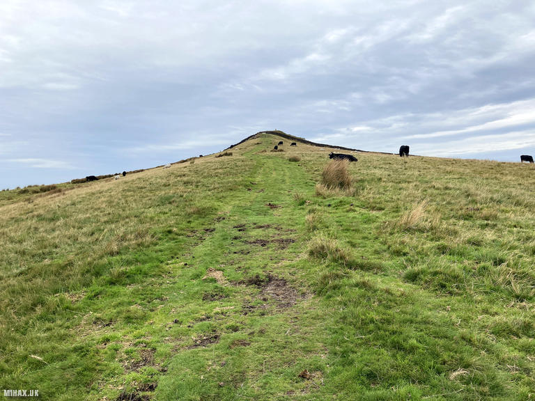
Sharp Haw, standing at 357 metres, is a distinctive conical hill in the Yorkshire Dales near Skipton. Despite its modest height, the summit’s pointed profile makes it a prominent landmark visible from considerable distances across the surrounding countryside. With 169 metres of prominence, it qualifies as a Marilyn and offers excellent views across Airedale and towards the higher Pennine fells to the north.
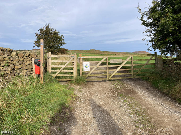
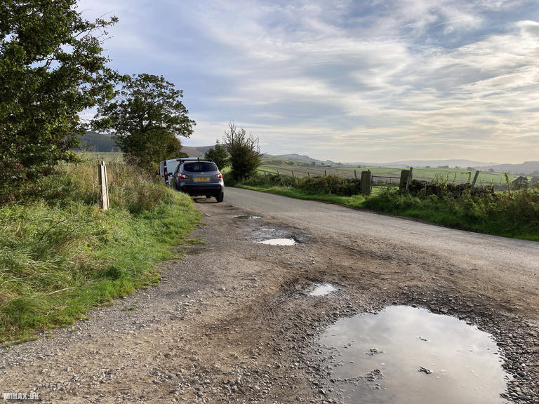
Continuing my week-long trip to the Pennines, I tackled Sharp Haw as a standalone activation. I parked on the aptly named Bog Lane to the southeast of the hill, where roadside parking accommodates at least four cars. The approach from here offers a direct line to the summit, with the pointy top visible from the outset.
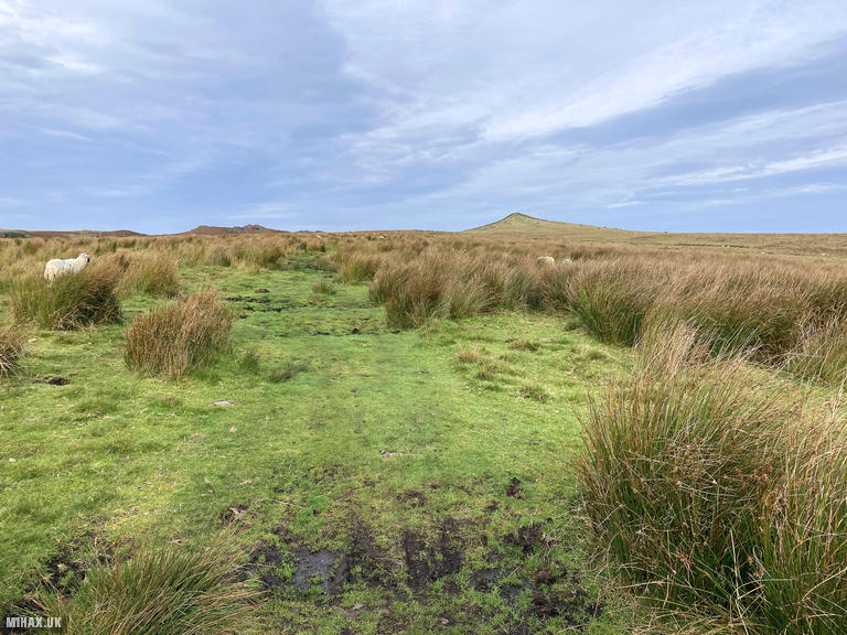
The route follows a grassy path that climbs steadily up the hillside over approximately two kilometres. Conditions underfoot were muddy in places, living up to the road’s name. The field below the summit was occupied by cattle, which required some careful navigation, though the activation zone lies behind a boundary wall separate from the livestock.
This activation marked a significant milestone for me: my first exclusively HF outing with my new Elecraft KX2 radio. Having tested it alongside VHF on Great Whernside a few days earlier, I was keen to see what the compact transceiver could achieve when given sole focus on the HF bands.
The results exceeded my expectations. In cold, windy conditions at the summit with light rain, I worked 21 stations across three bands. Beginning on 40-metre SSB, contacts came thick and fast: Declan EI6FR in Ireland, Robert M0RWX, Guy ON3DWG in Belgium, and numerous UK stations including several from Northern Ireland. The band was clearly in good shape.
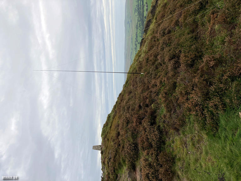
Moving to 20 metres brought contacts with Louis ON7LO in Belgium, Geoff G0GWY, and Joe GI4TAJ. The highlight of the activation came on 17 metres with two summit-to-summit contacts into Mallorca. Thomas HB9EVF/P and Tabea HB9HXJ/P were operating together from Santuari de Cura (EA6/MA-032), a distance of approximately 1,400 kilometres. Working a European S2S from a modest one-point hill in Yorkshire demonstrated both the capabilities of QRP HF operation and the magic of SOTA’s international community. The long wire antenna, deployed in challenging wind conditions, performed admirably throughout. Signal reports ranged from 5/3 to 5/9, with most contacts at the stronger end despite running just 10 watts from the KX2.
The descent followed the same route back to the car, giving the cattle a respectful berth. The total circuit covered 4.3 kilometres with 160 metres of ascent, completed in just under two hours including the extended operating session.
Sharp Haw makes an excellent introduction to HF SOTA activating. The straightforward approach, spacious summit, and reliable propagation provide an ideal testing ground for new equipment. For those seeking to combine it with other summits, nearby Flasby Fell offers possibilities for a two-hill day.
Photos
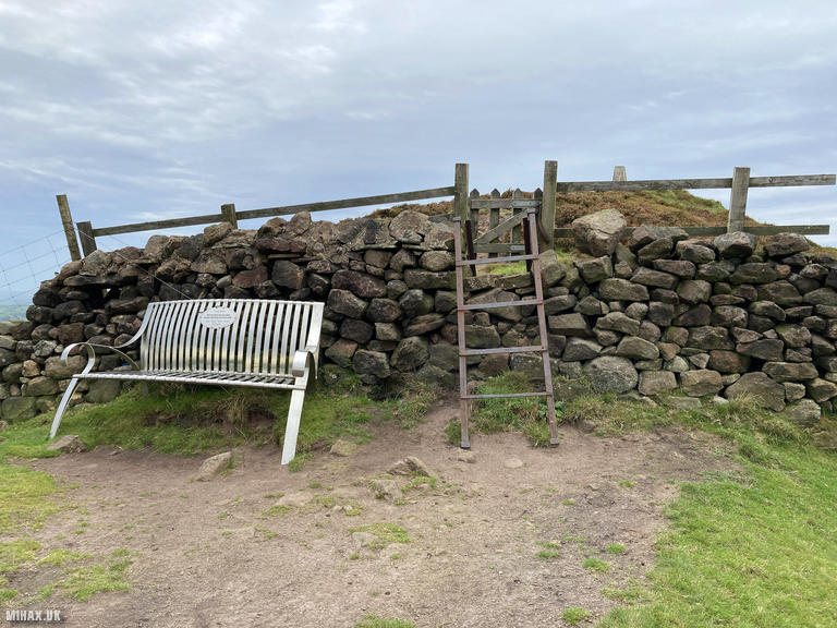
Below are some photographs taken during my activation of Sharp Haw on Wednesday 27th September, 2023.

Walking Route for Sharp Haw
The interactive map below shows my GPS track taken to the SOTA activation zone for Sharp Haw. The G/NP-029 summit area is marked on the map with a blue pin icon.
You can download the route shown above as a GPX file suitable for use with most GPS devices. This file is provided for information only, to support your own walk planning and research (it may contain navigation errors, detours and/or safety hazards). The route downloads provided here are governed by the Creative Commons BY-NC-SA 4.0 licence.
Station Log
I logged the following 21 amateur radio contacts operating as M1HAX/P from G/NP-029 Sharp Haw on Wednesday 27th September, 2023 (all times shown are UTC):
| Time | Callsign | Band | Mode | Notes |
|---|---|---|---|---|
| 09:00 | EI6FR | 40m | SSB | Declan, 5/5 |
| 09:01 | 2E0AGB | 40m | SSB | Alan, 5/9 |
| 09:02 | M0RWX | 40m | SSB | Robert, 5/9 |
| 09:03 | ON3DWG | 40m | SSB | Guy, 5/9 |
| 09:04 | M0ZXQ | 40m | SSB | Ian, 5/7 |
| 09:05 | GW0RQC | 40m | SSB | Robert, 5/9 |
| 09:07 | M0MCY | 40m | SSB | Mike, 5/7 |
| 09:07 | 2W0ILQ | 40m | SSB | John, 5/6 |
| 09:08 | GI0AZB | 40m | SSB | Ian, 5/9 |
| 09:10 | 2W0FLW | 40m | SSB | Derek, 5/9 |
| 09:10 | GI4SZW | 40m | SSB | Seamus, 5/8 |
| 09:11 | G0BON | 40m | SSB | Ivan, 5/9 |
| 09:12 | 2E1ROO | 40m | SSB | Andrew, 5/3 |
| 09:13 | MI0OUT | 40m | SSB | Phil, 5/8 |
| 09:14 | GI0BFD | 40m | SSB | Alwyn, 5/3 |
| 09:16 | ON7LO | 20m | SSB | Louis, 5/7 |
| 09:16 | G0GWY | 20m | SSB | Geoff, 5/9 |
| 09:17 | GI4TAJ | 20m | SSB | Joe, 5/7 |
| 09:27 | EA6/HB9EVF/P | 17m | SSB | Thomas, 5/7, S2S EA6/MA-032 |
| 09:29 | EA6/HB9HXJ/P | 17m | SSB | Tabea, 5/7, S2S EA6/MA-032 |
| 09:29 | SQ9MDF | 17m | SSB | Leszek, 5/5 |
In the notes field I will usually log the other operator’s name and the signal report they provided. In accordance with the Summits on the Air rules, I do not make a log entry where a complete exchange of callsigns and signal reports was unsuccessful.
Additional Information
The following resources may be helpful to walkers, mountaineers and SOTA activators interested in Sharp Haw:
- Sotl.as Summit Page for G/NP-029 Sharp Haw.
- Hill Bagging UK Summit Page for Sharp Haw.
- Google Maps Page for Sharp Haw.
- Wikipedia entry for Sharp Haw.
If you found this content valuable, why not Buy Me a Coffee?