Cnoc an Daimh Mor - GM/NS-142 SOTA (2024)
Summits on the Air Activation Report
Activation Date: Sunday 31st March, 2024.
Activator(s): Richard M1HAX.
Summit: Cnoc an Daimh Mor, Northern Scotland, Scotland.
Summit ID: SOTA reference GM/NS-142 (1 point).
Summit Height: 357m elevation, 162m prominence.
Summit Location: Lat./Long. 58.34834, -4.50805. Maidenhead Grid IO78ri.
Also Activated: GM/NS-130.
Distance: 17.5km travelled with 580m of ascent.
Difficulty: SAC Grade T2.(?)
Elapsed Time: 6h 25m (incl. operating and other summit(s) on the same hike).
Weather: 10°C, light breeze, sunny.
Radio Equipment: Elecraft KX2, EFHW.
Callsign Used: MM1HAX/P.
Contacts: 11 (40m SSB).
Trip Notes
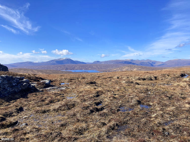
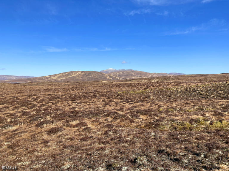
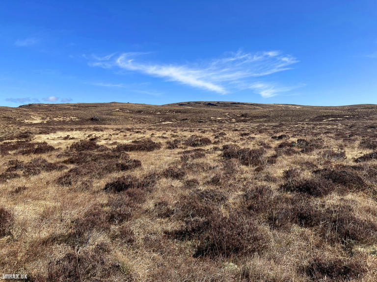
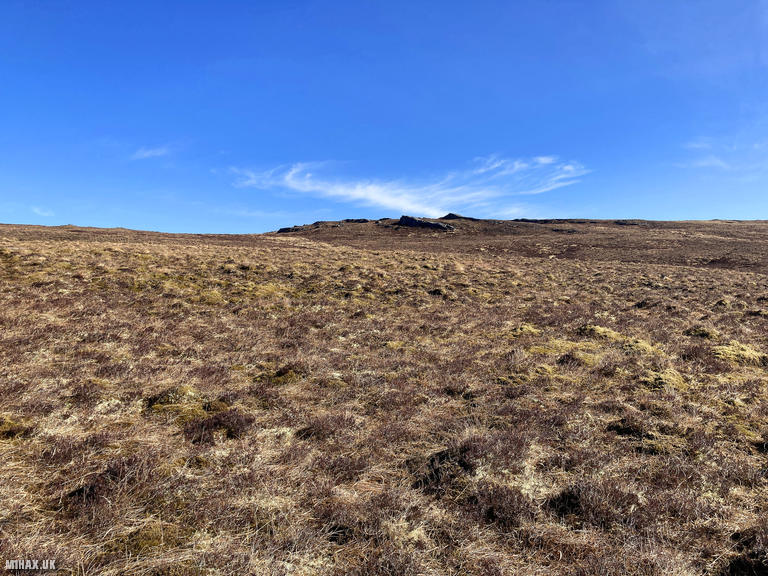
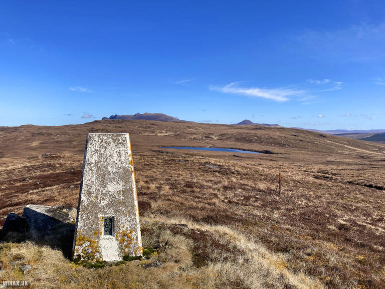
Cnoc an Daimh Mor, meaning “big hill of the stag” in Gaelic, stands at 357 metres in the remote heartland of Sutherland. This featureless moorland summit qualifies as a Marilyn with its 162 metres of prominence. Its extreme northern location and modest single-point status meant it had remained unactivated for SOTA since the programme began in 2002, until this expedition.
This activation held particular significance as one of the last remaining unactivated Marilyn summits in the UK for Summits on the Air. I researched and planned the route in advance, primarily using historical walking reports on the WalkHighlands forum. Based near Inverness for a few days, this day trip involved approximately five hours of driving in total.
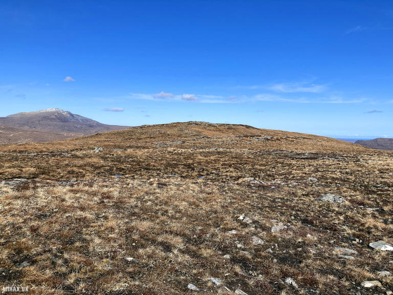
A long single-track road led to the starting point where a disused gravel pit provided parking space for two or three vehicles. My walking companions and I would encounter nobody else throughout the entire day. Ben Hope (GM/NS-020) was visible on the distant northern horizon as we set off.
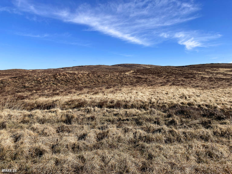
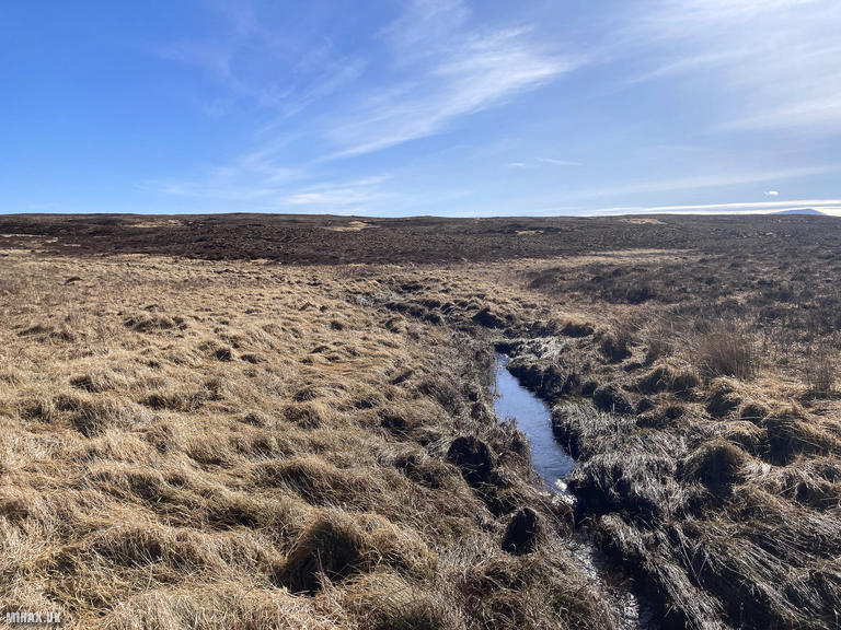
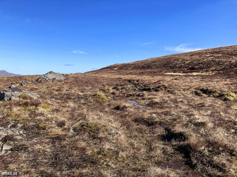
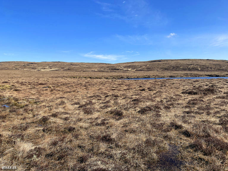
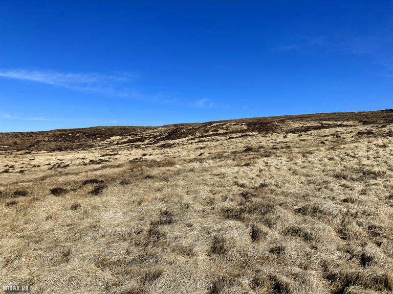
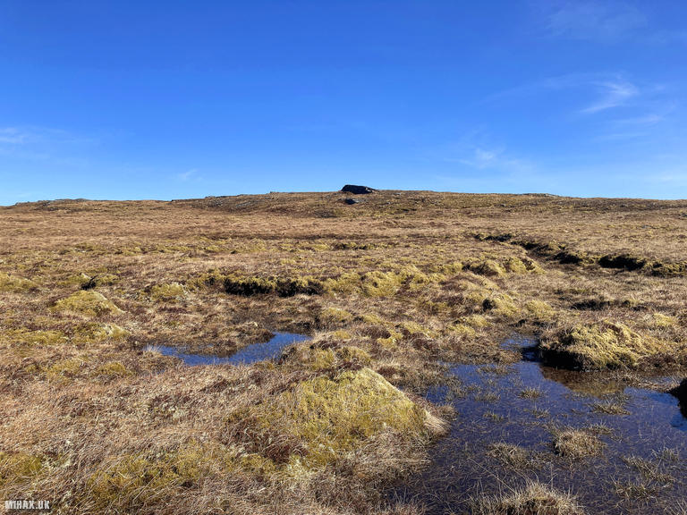
As is often the case with remote Scottish mountains, the terrain here is pathless and wild. I had prepared a GPS route on my Garmin watch based on satellite imagery and Ordnance Survey maps, although this needed almost immediate revision once underway as we picked our way across boggy grassland. We tracked towards Cnoc an Daimh Beag (295m) before progressing in a roughly linear direction towards the main summit, turning north as we approached the true high point. Anyone repeating this route should expect to adapt constantly to conditions underfoot, crossing several small streams along the way.
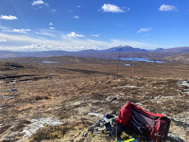
Arriving at the featureless summit, I set up my Elecraft KX2 and operated on 40 metres using my EFHW antenna. I was pleased to work a number of keen SOTA regulars, though the pile-up for this new summit was smaller than anticipated, perhaps because of moderate band conditions or the relatively obscure nature of a single-point hill. The highlight was a summit-to-summit contact with Andy MM7MOX/P on Black Hill (GM/SS-253), adding an extra dimension to the activation.
With a long day planned, I packed away the station and continued towards Meadie Ridge (GM/NS-130), descending towards a beautifully untouched sandy beach at the head of Loch Meadie. This was my first ever unique activation, and quite a significant undertaking for just one SOTA point. Nevertheless, it was a meaningful rite of passage to have my radio callsign permanently attached to one of the UK’s SOTA summits.
Photos
Below are some photographs taken during my activation of Cnoc an Daimh Mor on Sunday 31st March, 2024.


Walking Route for Cnoc an Daimh Mor
The interactive map below shows my GPS track taken to the SOTA activation zone for Cnoc an Daimh Mor. Note that this summit was activated as part of a multi-summit hike and the map below shows the full route taken on the day. The GM/NS-142 summit area is marked on the map with a blue pin icon.
You can download the route shown above as a GPX file suitable for use with most GPS devices. This file is provided for information only, to support your own walk planning and research (it may contain navigation errors, detours and/or safety hazards). The route downloads provided here are governed by the Creative Commons BY-NC-SA 4.0 licence.
Station Log
I logged the following 11 amateur radio contacts operating as MM1HAX/P from GM/NS-142 Cnoc an Daimh Mor on Sunday 31st March, 2024 (all times shown are UTC):
| Time | Callsign | Band | Mode | Notes |
|---|---|---|---|---|
| 11:53 | GW4VPX | 40m | SSB | Allan, 3/3 |
| 11:55 | G5OLD | 40m | SSB | Tim, 4/4 |
| 11:55 | GM0GAV | 40m | SSB | Gavin, 5/8 |
| 11:56 | G0FEX | 40m | SSB | Ken, 5/7 |
| 11:58 | MM7MOX/P | 40m | SSB | Andy, 4/1, S2S GM/SS-253 |
| 11:59 | 2E0FEH | 40m | SSB | Karl, 4/4 |
| 12:00 | M0RWX | 40m | SSB | Robert, 3/3 |
| 12:01 | 2W0ILQ | 40m | SSB | John, 5/6 |
| 12:01 | GI0AZA | 40m | SSB | Esther, 4/4 |
| 12:02 | M0MDA | 40m | SSB | Mick, 5/7 |
| 12:05 | M0KCB | 40m | SSB | Dariusz, 5/5 |
In the notes field I will usually log the other operator’s name and the signal report they provided. In accordance with the Summits on the Air rules, I do not make a log entry where a complete exchange of callsigns and signal reports was unsuccessful.
Additional Information
The following resources may be helpful to walkers, mountaineers and SOTA activators interested in Cnoc an Daimh Mor:
- Sotl.as Summit Page for GM/NS-142 Cnoc an Daimh Mor.
- Hill Bagging UK Summit Page for Cnoc an Daimh Mor.
- Google Maps Page for Cnoc an Daimh Mor.
- Wikipedia entry for Cnoc an Daimh Mor.
If you found this content valuable, why not Buy Me a Coffee?