Meadie Ridge - GM/NS-130 SOTA (2024)
Summits on the Air Activation Report
Activation Date: Sunday 31st March, 2024.
Activator(s): Richard M1HAX.
Summit: Meadie Ridge, Northern Scotland, Scotland.
Summit ID: SOTA reference GM/NS-130 (1 point).
Summit Height: 414m elevation, 159m prominence.
Summit Location: Lat./Long. 58.35692, -4.56644. Maidenhead Grid IO78ri.
Also Activated: GM/NS-142.
Distance: 17.5km travelled with 580m of ascent.
Difficulty: SAC Grade T2.(?)
Elapsed Time: 6h 25m (incl. operating and other summit(s) on the same hike).
Weather: 10°C, light breeze, sunny.
Radio Equipment: Elecraft KX2, Elecraft AX1.
Callsign Used: MM1HAX/P.
Contacts: 4 (20m SSB).
Trip Notes
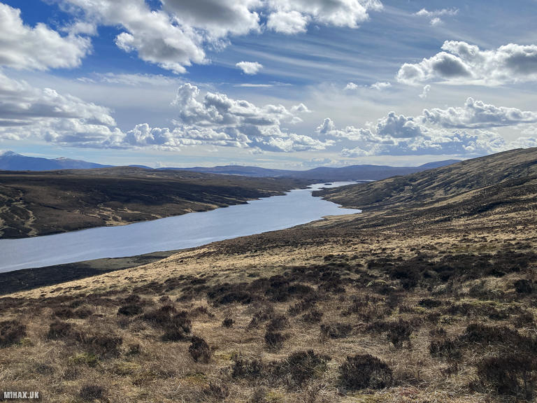
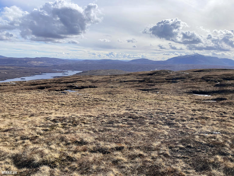
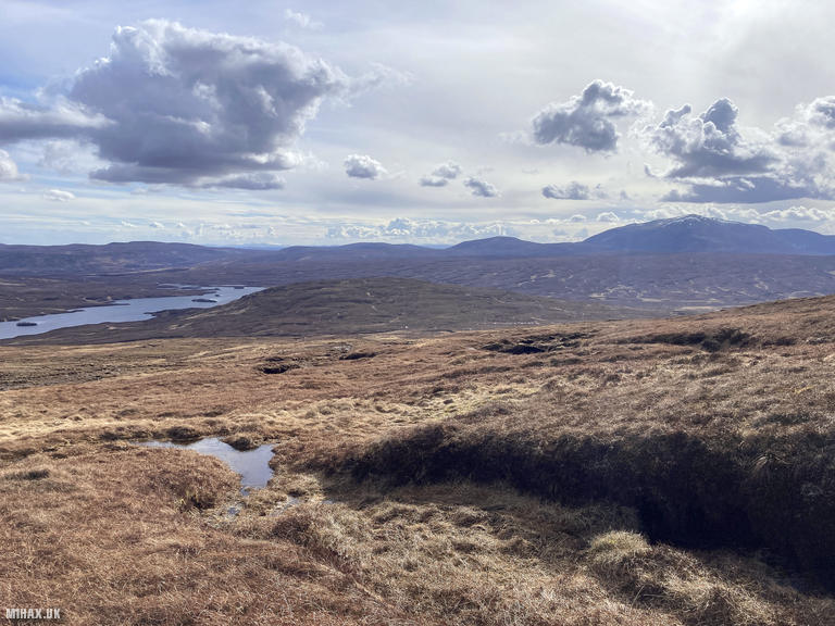
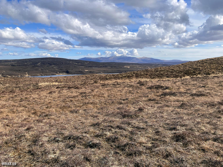
Meadie Ridge takes its unusual name from Loch Meadie, a remote freshwater loch that lies at its northern foot in the vast Flow Country of Sutherland. Rising to 414 metres with 159 metres of prominence, this Marilyn summit offers commanding views across the emptiest quarter of mainland Britain. The surrounding landscape is characterised by blanket bog, scattered lochans, and a profound sense of wilderness. The hill had only been activated once before for SOTA, by GM4LLD operating as MS0TA/P back in 2019, making this just the second recorded activation.
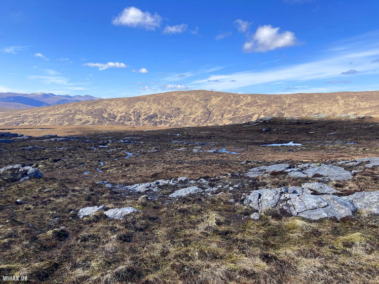
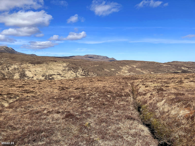
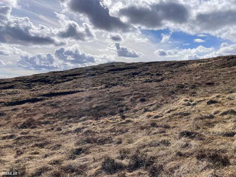
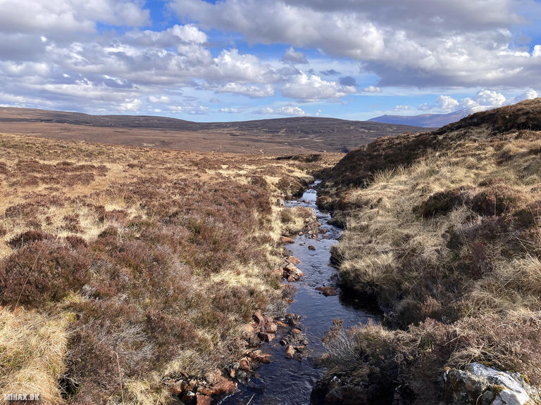
Continuing from my earlier activation of Cnoc an Daimh Mor (GM/NS-142), I descended northwest towards the head of Loch Meadie over pathless terrain. The going was typical of this remote corner of Sutherland - tussocky grass, scattered peat hags, and the constant need to navigate around boggy ground.
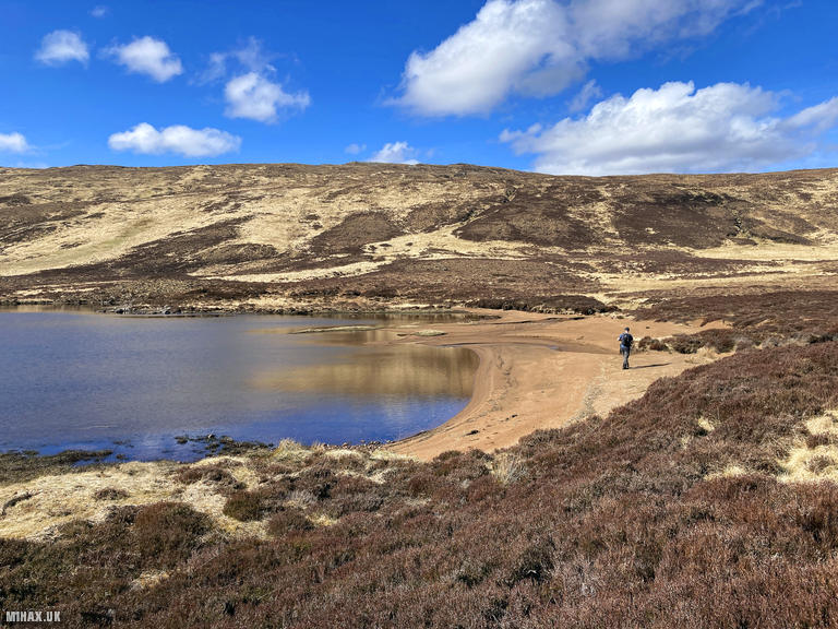
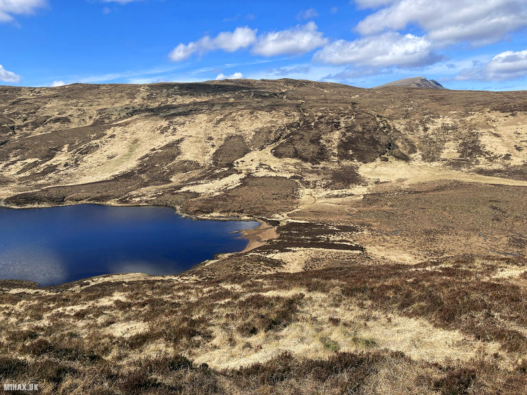
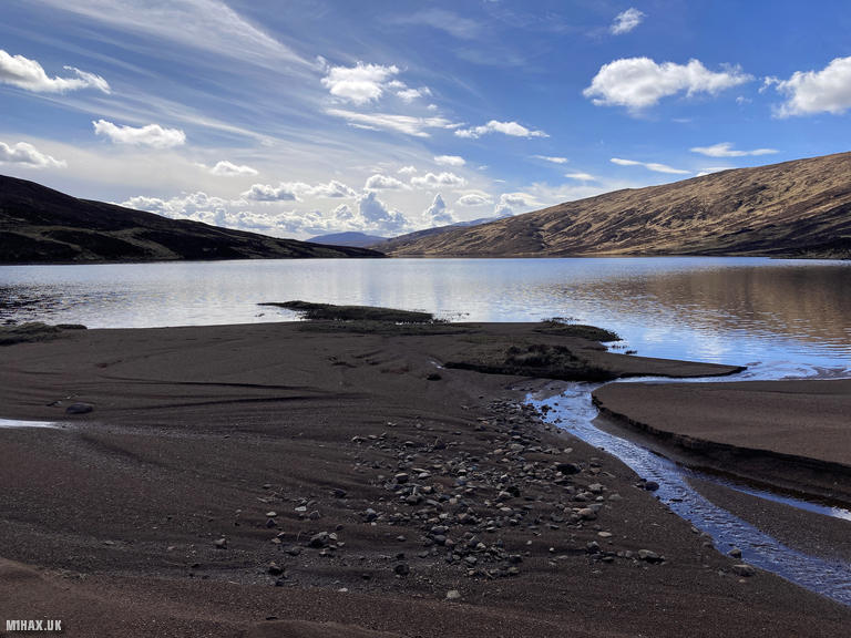
The small sandy beach at the loch’s head would make a fantastically remote wild camping spot for anyone undertaking a circuit like this over two days. The isolation here is absolute; we saw no other walkers throughout our expedition, and the only sounds were the wind and occasional bird calls.
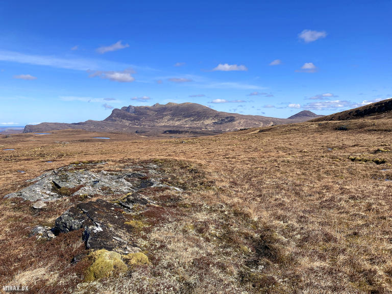
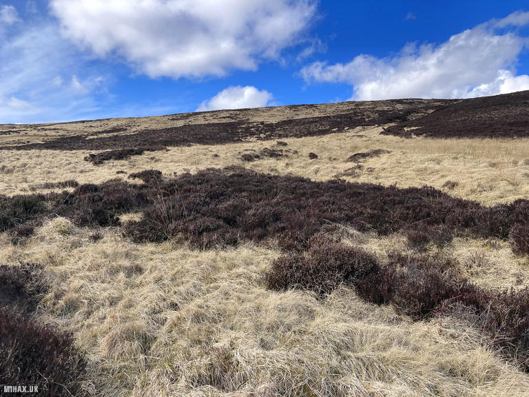
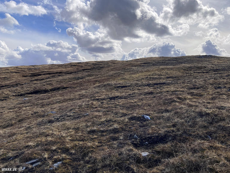
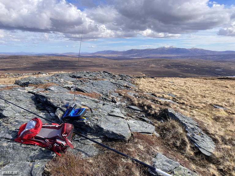
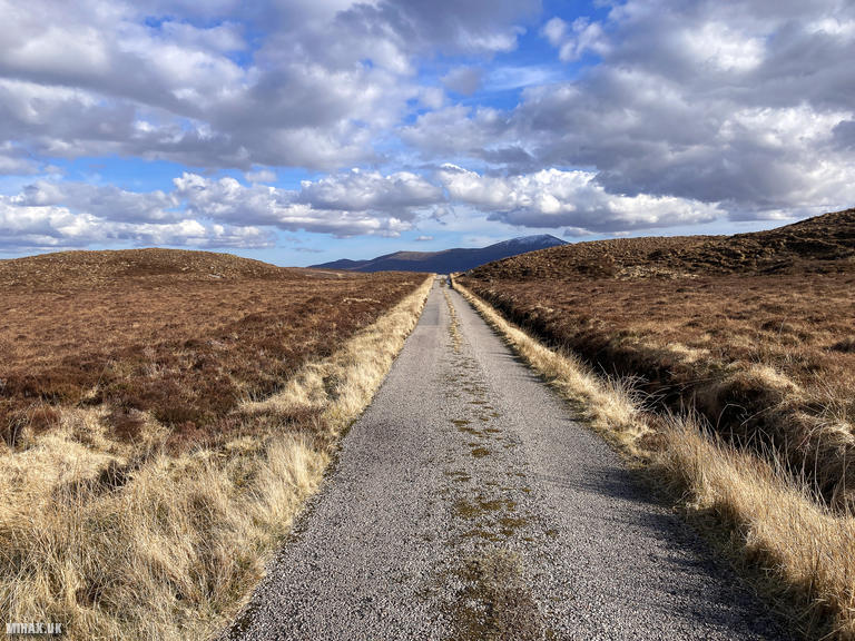
From the lochside, the route ascended over more pathless grassy terrain, contouring up the northeast flank of the ridge. The gradient was steady rather than steep, but the lack of any path meant careful footwork was required throughout. Despite the challenging terrain, the weather remained kind with clear skies and light winds - ideal conditions for this remote expedition. After walking approximately 4.5 kilometres from the previous summit, I arrived at the rocky outcrop marking the high point of Meadie Ridge.
Setting up my HF station presented an unexpected challenge. A problem with my mast pole meant I could only operate using my Elecraft AX1 telescopic whip antenna rather than the more efficient wire antenna I had planned. Despite this limitation, the KX2 performed admirably on 20 metres. I completed the required four contacts with European stations including Viktor HA7WA in Hungary, Christian F4WBN in France, Ricardo EA1DHB in Spain, and the Lesnica Radio Club SP6KEP in Poland.
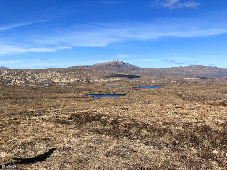
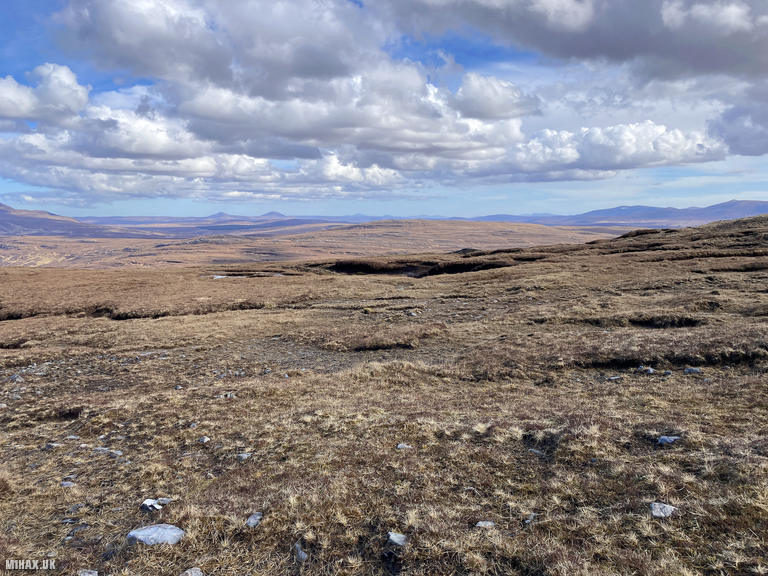
Views from the summit were excellent on this clear spring day, with Ben Hope prominent to the north and Ben Loyal visible across the moorland to the northeast. After a quick activation, I headed back towards the road across more boggy terrain, completing a memorable SOTA expedition targeting two of Scotland’s most remote Marilyns in a single day.
Photos
Below are some photographs taken during my activation of Meadie Ridge on Sunday 31st March, 2024.


Walking Route for Meadie Ridge
The interactive map below shows my GPS track taken to the SOTA activation zone for Meadie Ridge. Note that this summit was activated as part of a multi-summit hike and the map below shows the full route taken on the day. The GM/NS-130 summit area is marked on the map with a blue pin icon.
You can download the route shown above as a GPX file suitable for use with most GPS devices. This file is provided for information only, to support your own walk planning and research (it may contain navigation errors, detours and/or safety hazards). The route downloads provided here are governed by the Creative Commons BY-NC-SA 4.0 licence.
Station Log
I logged the following 4 amateur radio contacts operating as MM1HAX/P from GM/NS-130 Meadie Ridge on Sunday 31st March, 2024 (all times shown are UTC):
| Time | Callsign | Band | Mode | Notes |
|---|---|---|---|---|
| 14:17 | HA7WA | 20m | SSB | Viktor, 5/6 |
| 14:18 | F4WBN | 20m | SSB | Christian, 5/8 |
| 14:19 | EA1DHB | 20m | SSB | Ricardo, 5/6 |
| 14:20 | SP6KEP | 20m | SSB | Lesnica Radio Club, 5/3 |
In the notes field I will usually log the other operator’s name and the signal report they provided. In accordance with the Summits on the Air rules, I do not make a log entry where a complete exchange of callsigns and signal reports was unsuccessful.
Additional Information
The following resources may be helpful to walkers, mountaineers and SOTA activators interested in Meadie Ridge:
- Sotl.as Summit Page for GM/NS-130 Meadie Ridge.
- Hill Bagging UK Summit Page for Meadie Ridge.
- Google Maps Page for Meadie Ridge.
- Wikipedia entry for Meadie Ridge.
If you found this content valuable, why not Buy Me a Coffee?