Moncreiffe Hill - GM/SS-276 SOTA (2024)
Summits on the Air Activation Report
Activation Date: Thursday 28th March, 2024.
Activator(s): Richard M1HAX.
Summit: Moncreiffe Hill, Southern Scotland, Scotland.
Summit ID: SOTA reference GM/SS-276 (1 point).
Summit Height: 223m elevation, 185m prominence.
Summit Location: Lat./Long. 56.36419, -3.40049. Maidenhead Grid IO86hi.
Distance: 3.2km travelled with 150m of ascent.
Difficulty: SAC Grade T1.(?)
Elapsed Time: 1h 10m (including operating).
Weather: 7°C, light breeze, cloudy.
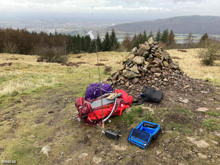
Radio Equipment: Yaesu FTM100D, MFJ-1714, Zippy 4200mAh 4S LiFePo4, Elecraft KX2, AX1.
Callsign Used: MM1HAX/P.
Contacts: 5 (20m SSB, 2m FM).
Trip Notes
Moncreiffe Hill rises to 223 metres just south of Perth, a familiar landmark for anyone travelling north on the M90 motorway. The hill has been significant for millennia - two Iron Age hillforts crown its summit, both designated as Scheduled Ancient Monuments. The larger of these, Moredun Top, encircles the highest point with earthworks still visible today. Excavations have revealed that Moredun held special importance as a Pictish royal centre, and in AD 728 the hill witnessed a battle between Pict warlords Angus and Alpin fighting for control of the throne. The fort walls were constructed using vitrified stone - rocks heated to such extreme temperatures that they melted and fused together, a technique whose purpose remains a mystery to archaeologists. The hill’s name derives from the Gaelic “Monadh Craiobh,” meaning “hill of the tree,” and with 185 metres of prominence it qualifies as a Marilyn worth 1 point for SOTA.
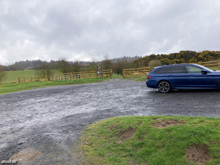
The Woodland Trust Scotland has managed this 333-acre mixed woodland since 1988, maintaining over 14 kilometres of trails. I parked at the northern Tay car park on Rhynd Road, which offers good quality free parking with easy access.
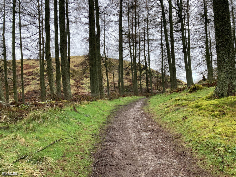
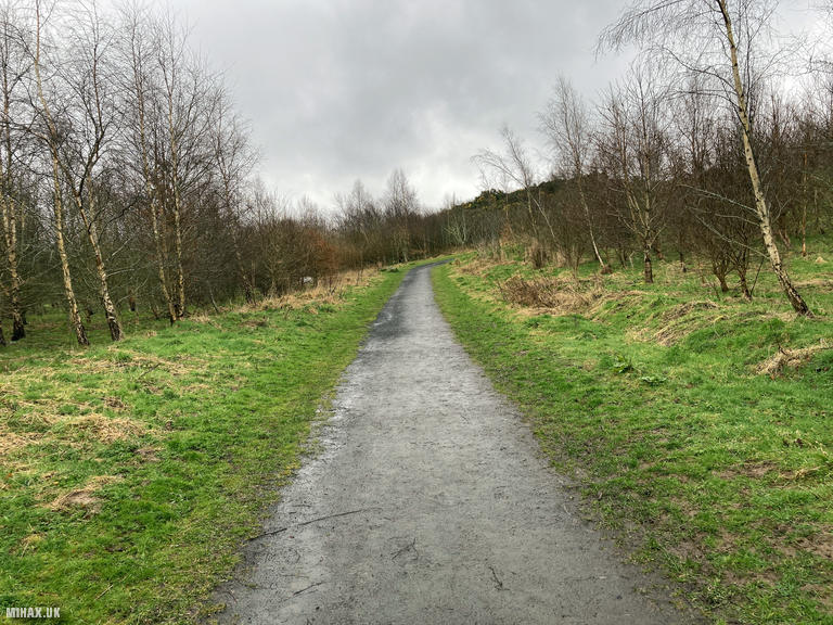
From the car park, I followed a well-surfaced footpath due south for approximately a mile, winding through impressive mixed woodland that includes some of Britain’s tallest Douglas firs alongside native Scots pines. The path eventually emerges onto the open slopes below the hilltop, where a short climb leads to the summit cairn. Despite the wet conditions, the good quality paths made it possible to complete the walk in trainers, reaching the top in under 25 minutes.
I had hoped for a quick VHF activation using my Yaesu FTM100D, but after 20 minutes of calling I had managed only three contacts on 2 metres - Neil M7DIR, Craig MM7CJS, and Stuart MM7SWM. Needing a fourth to qualify the summit, I reluctantly deployed my Elecraft KX2 with AX1 antenna and quickly worked Fred DL8DXL in Germany and Manuel EA2DT in Spain on 20-metre SSB to secure the activation.
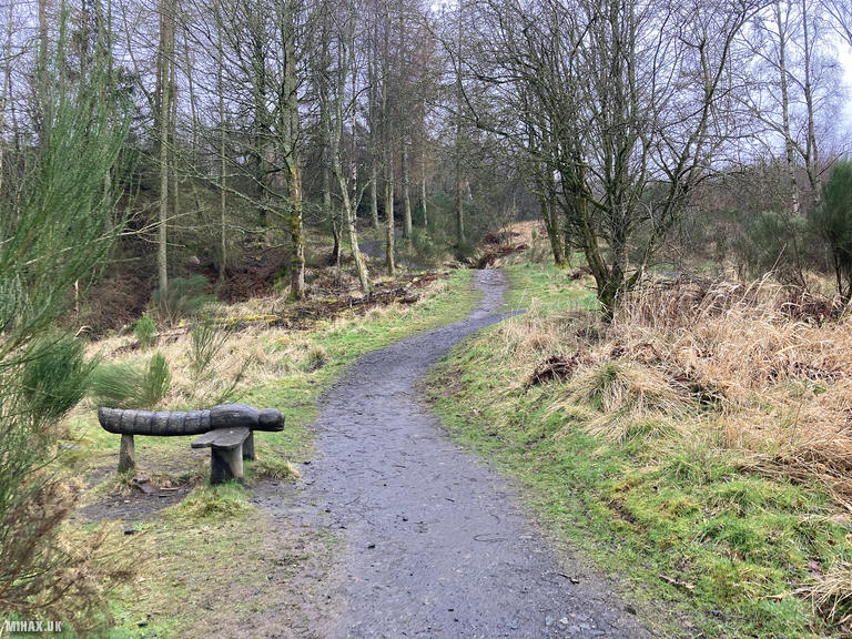
After packing away, I retraced my steps through the woodland. There is an extensive network of paths here, and the summit viewpoint offers panoramic views across Perth, the River Tay, and south to the Lomond Hills in Fife. Moncreiffe Hill is ideally situated as a convenient rest stop when undertaking long drives to Scotland - a satisfying hour-long break from the motorway that combines easy walking with genuine historical interest.
Photos
Below are some photographs taken during my activation of Moncreiffe Hill on Thursday 28th March, 2024.

Walking Route for Moncreiffe Hill
The interactive map below shows my GPS track taken to the SOTA activation zone for Moncreiffe Hill. The GM/SS-276 summit area is marked on the map with a blue pin icon.
You can download the route shown above as a GPX file suitable for use with most GPS devices. This file is provided for information only, to support your own walk planning and research (it may contain navigation errors, detours and/or safety hazards). The route downloads provided here are governed by the Creative Commons BY-NC-SA 4.0 licence.
Station Log
I logged the following 5 amateur radio contacts operating as MM1HAX/P from GM/SS-276 Moncreiffe Hill on Thursday 28th March, 2024 (all times shown are UTC):
| Time | Callsign | Band | Mode | Notes |
|---|---|---|---|---|
| 15:03 | M7DIR | 2m | FM | Neil, 5/1 |
| 15:05 | MM7CJS | 2m | FM | Craig, 5/9 |
| 15:06 | MM7SWM | 2m | FM | Stuart, 5/5 |
| 15:20 | DL8DXL | 20m | SSB | Fred, 5/2 |
| 15:21 | EA2DT | 20m | SSB | Manuel, 4/4 |
In the notes field I will usually log the other operator’s name and the signal report they provided. In accordance with the Summits on the Air rules, I do not make a log entry where a complete exchange of callsigns and signal reports was unsuccessful.
Additional Information
The following resources may be helpful to walkers, mountaineers and SOTA activators interested in Moncreiffe Hill:
- Sotl.as Summit Page for GM/SS-276 Moncreiffe Hill.
- Hill Bagging UK Summit Page for Moncreiffe Hill.
- Google Maps Page for Moncreiffe Hill.
- Wikipedia entry for Moncreiffe Hill.
If you found this content valuable, why not Buy Me a Coffee?