Black Hill - G/SP-002 SOTA (2024)
Summits on the Air Activation Report
Activation Date: Tuesday 16th April, 2024.
Activator(s): Richard M1HAX.
Summit: Black Hill, Southern Pennines, England.
Summit ID: SOTA reference G/SP-002 (2 points).
Summit Height: 582m elevation, 165m prominence.
Summit Location: Lat./Long. 53.53800, -1.88532. Maidenhead Grid IO93bm.
Distance: 6.4km travelled with 277m of ascent.
Difficulty: SAC Grade T1.(?)
Elapsed Time: 1h 50m (including operating).
Weather: 7°C, light breeze, partially sunny.
Radio Equipment: Yaesu FTM100D, MFJ-1714, Zippy 4200mAh 4S LiFePo4.
Callsign Used: M1HAX/P.
Contacts: 6 (2m FM).
Trip Notes
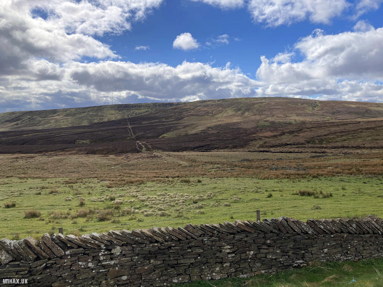
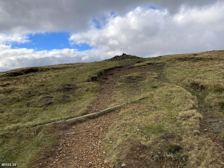
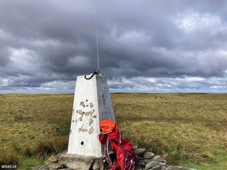
Black Hill, rising to 582 metres in the Dark Peak area of the Peak District, has long held an infamous reputation among Pennine Way walkers. The hill’s name derives from the exposed black peat that once made the summit a treacherous quagmire. Alfred Wainwright himself reportedly had to be pulled bodily from the bog during his traverse. Today, the summit has been transformed by conservation work, with flagstones reclaimed from derelict Lancashire cotton mills now providing a firm path to the trig point. With 165 metres of prominence, Black Hill qualifies as a Marilyn and stands as the highest point in the historic West Riding of Yorkshire.
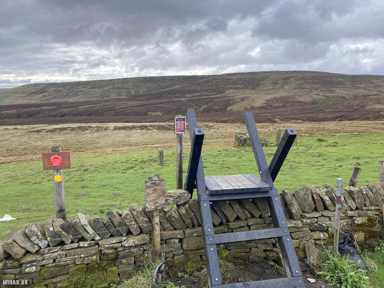
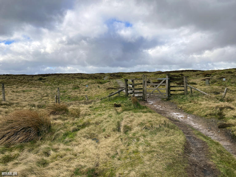
I approached from the north, parking in one of the several laybys along the A635 Greenfield Road. From here, the route follows a section of the Pennine Way national trail, making navigation straightforward even in poor visibility.
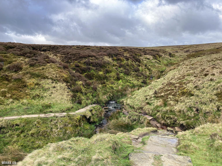
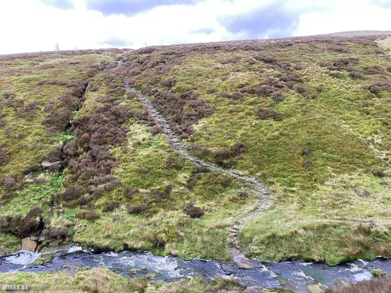
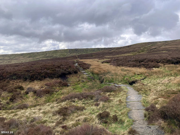
The path quality is excellent throughout, with paving slabs covering much of the route across the moorland. A small stream crossing near the start presented no difficulty, easily hopped across on stepping stones.
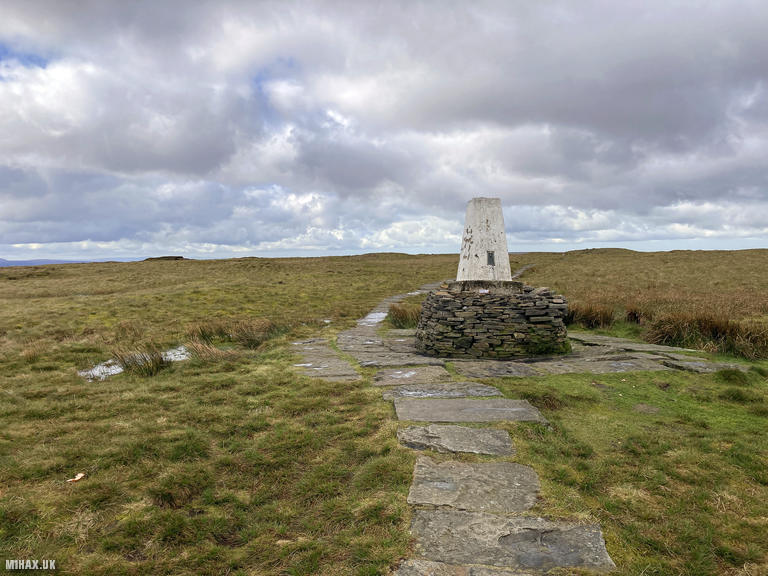
The good quality track led directly uphill to the summit trig point. Despite what my research suggested about Black Hill being something of a VHF black hole due to the surrounding higher ground, I was optimistic about making contacts.
Setting up my Yaesu FTM100D at 50 watts, I made six contacts on 2 metres FM in quick succession. Regular chasers including Simeon 2E0VOE and Andy M0ALA were among those in the log. The activation was complete within fifteen minutes.
I retraced my steps back to the car, enjoying views towards the distinctive Holme Moss transmitter mast that dominates the eastern horizon. This was a pleasant and accessible moorland walk with good paths throughout, making it an ideal introduction to the Southern Pennines SOTA summits. From here, I drove on to my next hill of the day, Freeholds Top.
Photos
Below are some photographs taken during my activation of Black Hill on Tuesday 16th April, 2024.


Walking Route for Black Hill
The interactive map below shows my GPS track taken to the SOTA activation zone for Black Hill. The G/SP-002 summit area is marked on the map with a blue pin icon.
You can download the route shown above as a GPX file suitable for use with most GPS devices. This file is provided for information only, to support your own walk planning and research (it may contain navigation errors, detours and/or safety hazards). The route downloads provided here are governed by the Creative Commons BY-NC-SA 4.0 licence.
Station Log
I logged the following 6 amateur radio contacts operating as M1HAX/P from G/SP-002 Black Hill on Tuesday 16th April, 2024 (all times shown are UTC):
| Time | Callsign | Band | Mode | Notes |
|---|---|---|---|---|
| 08:56 | 2E0VOE | 2m | FM | Simeon, 5/9 |
| 08:57 | M0ALA | 2m | FM | Andy, 5/9 |
| 08:59 | 2E0CRV | 2m | FM | Simon, 5/4 |
| 09:00 | G7VGT | 2m | FM | Paul, 5/7 |
| 09:01 | G6XBF | 2m | FM | Walt, 5/9 |
| 09:03 | M6NSV | 2m | FM | Neil, 4/1 |
In the notes field I will usually log the other operator’s name and the signal report they provided. In accordance with the Summits on the Air rules, I do not make a log entry where a complete exchange of callsigns and signal reports was unsuccessful.
Additional Information
The following resources may be helpful to walkers, mountaineers and SOTA activators interested in Black Hill:
- Sotl.as Summit Page for G/SP-002 Black Hill.
- Hill Bagging UK Summit Page for Black Hill.
- Google Maps Page for Black Hill.
- Wikipedia entry for Black Hill.
If you found this content valuable, why not Buy Me a Coffee?