Hail Storm Hill - G/SP-009 SOTA (2024)
Summits on the Air Activation Report
Activation Date: Tuesday 16th April, 2024.
Activator(s): Richard M1HAX.
Summit: Hail Storm Hill, Southern Pennines, England.
Summit ID: SOTA reference G/SP-009 (1 point).
Summit Height: 477m elevation, 244m prominence.
Summit Location: Lat./Long. 53.67034, -2.25126. Maidenhead Grid IO83uq.
Distance: 3.9km travelled with 220m of ascent.
Difficulty: SAC Grade T1.(?)
Elapsed Time: 1h 20m (including operating).
Weather: 5°C, moderate breeze, sunny.
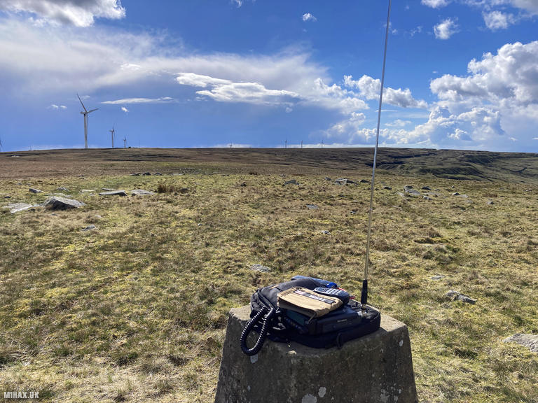
Radio Equipment: Yaesu FTM100D, MFJ-1714, Zippy 4200mAh 4S LiFePo4.
Callsign Used: M1HAX/P.
Contacts: 8 (2m FM).
Trip Notes
Hail Storm Hill, also known as Cowpe Moss, is the highest point in England’s Rossendale Valley. This area of moorland lies between the West Pennine Moors and the South Pennines. Although the hill sits entirely within Lancashire, the boundary with the Metropolitan Borough of Rochdale passes just one kilometre to the southeast. Standing at 477 metres with 248 metres of prominence, this qualifies as a Marilyn.
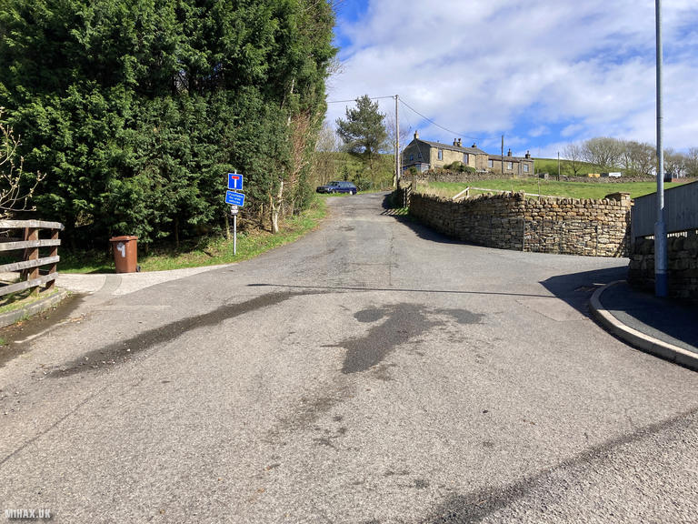
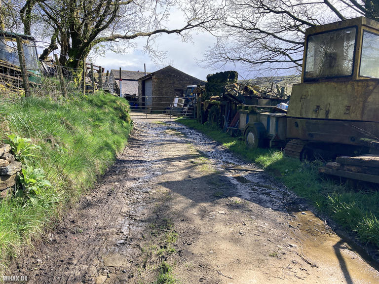
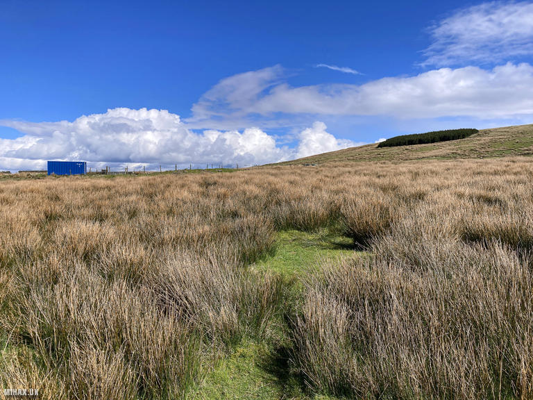
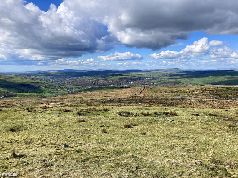
I walked up Hail Storm Hill during a holiday trip to the Peak District. Parking for two or three cars is available in a vague layby at the end of the residential road where the route begins from Boarsgreave. Walking out from the village to the southeast, the track traverses farmland before heading towards Rooley Moor Road. The path appears blocked by farm machinery at the edge of the farm, however a narrow footpath skirts around the obstruction. The route then crosses an overgrown field via a narrow stone stile before reaching a gate onto the road.
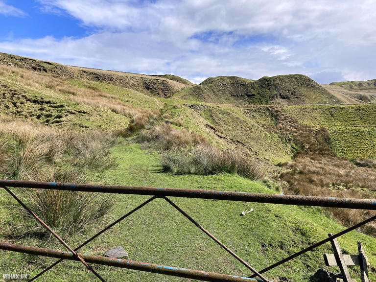
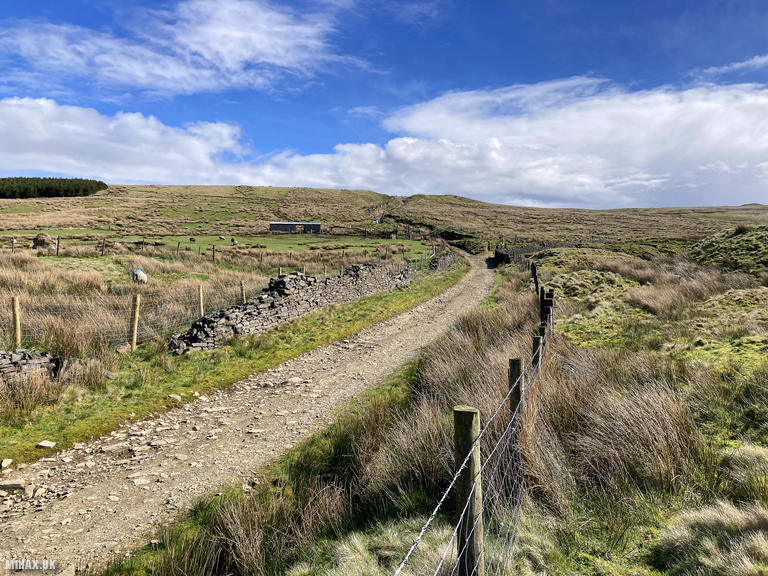
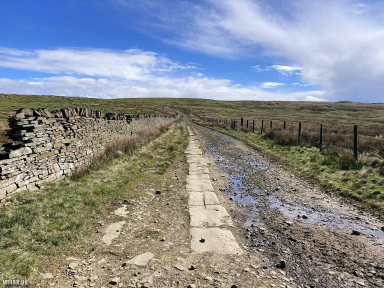
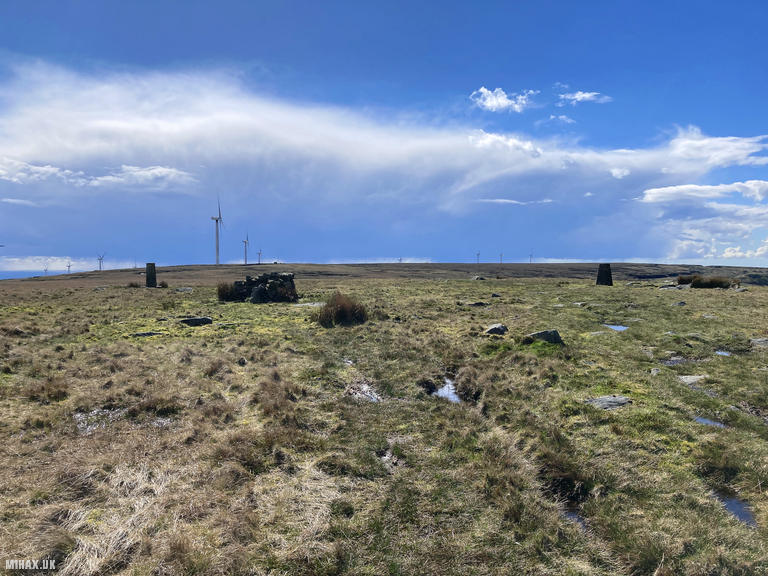
Following the good quality track south towards the summit, the route eventually meets the Pennine Bridleway. From here, either cut directly up the hillside or follow the grass path around the eastern flank before climbing to the trig point. The activation zone is particularly large, and I chose to set up at the trig point rather than continue to the true summit further west.
With my Yaesu FTM100D, I made eight contacts in just a few minutes, including regular chaser Paul M0CQE who is always an absolute gentleman to speak with on the air.
As the weather was turning towards rain, I packed away and retraced my route back along the Rooley Moor Road to the car. This was a pleasant short walk with easy-to-follow paths, suitable for hikers of all experience levels. The large activation zone provides plenty of space for antenna setups or finding a secluded spot for longer radio operations.
Photos
Below are some photographs taken during my activation of Hail Storm Hill on Tuesday 16th April, 2024.

Walking Route for Hail Storm Hill
The interactive map below shows my GPS track taken to the SOTA activation zone for Hail Storm Hill. The G/SP-009 summit area is marked on the map with a blue pin icon.
You can download the route shown above as a GPX file suitable for use with most GPS devices. This file is provided for information only, to support your own walk planning and research (it may contain navigation errors, detours and/or safety hazards). The route downloads provided here are governed by the Creative Commons BY-NC-SA 4.0 licence.
Station Log
I logged the following 8 amateur radio contacts operating as M1HAX/P from G/SP-009 Hail Storm Hill on Tuesday 16th April, 2024 (all times shown are UTC):
| Time | Callsign | Band | Mode | Notes |
|---|---|---|---|---|
| 14:31 | M0CQE | 2m | FM | Paul, 5/9 |
| 14:33 | G7SXR | 2m | FM | Mark, 5/7 |
| 14:35 | 2E0MOW | 2m | FM | Chris, 5/9 |
| 14:36 | G7RC | 2m | FM | Ron, 5/9 |
| 14:36 | G6AEK | 2m | FM | Dave, 5/9 |
| 14:37 | G8KBH | 2m | FM | Dave, 5/9 |
| 14:38 | M0LOR | 2m | FM | Graham, 5/9 |
| 14:38 | M0AIA | 2m | FM | Paul, 5/3 |
In the notes field I will usually log the other operator’s name and the signal report they provided. In accordance with the Summits on the Air rules, I do not make a log entry where a complete exchange of callsigns and signal reports was unsuccessful.
Additional Information
The following resources may be helpful to walkers, mountaineers and SOTA activators interested in Hail Storm Hill:
- Sotl.as Summit Page for G/SP-009 Hail Storm Hill.
- Hill Bagging UK Summit Page for Hail Storm Hill.
- Google Maps Page for Hail Storm Hill.
- Wikipedia entry for Hail Storm Hill.
If you found this content valuable, why not Buy Me a Coffee?