Monte Pino - IS0/IS-120 SOTA (2024)
Summits on the Air Activation Report
Activation Date: Friday 10th May, 2024.
Activator(s): Richard M1HAX.
Summit: Monte Pino, Sardinia, Italy.
Summit ID: SOTA reference IS0/IS-120 (4 points).
Summit Height: 742m elevation, 330m prominence.
Summit Location: Lat./Long. 40.94600, 9.37370. Maidenhead Grid JN40qw.
Distance: 2.8km travelled with 140m of ascent.
Difficulty: SAC Grade T1.(?)
Elapsed Time: 1h 10m (including operating).
Weather: 25°C, clear, 24 kph NE wind, 35% humidity.
Radio Equipment: Elecraft KX2, EFHW.
Callsign Used: IS0/M1HAX/P.
Contacts: 4 (40m SSB).
Trip Notes
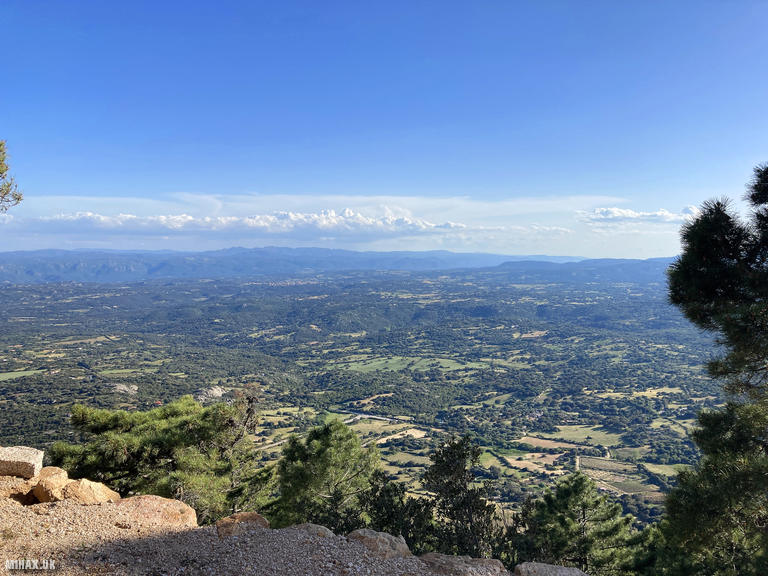
Monte Pino is a modest 742-metre summit in northeastern Sardinia, worth 4 SOTA points. This was the final mountain I activated during my visit to the island in May 2024.
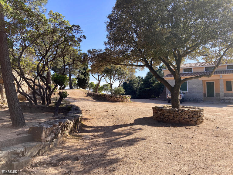
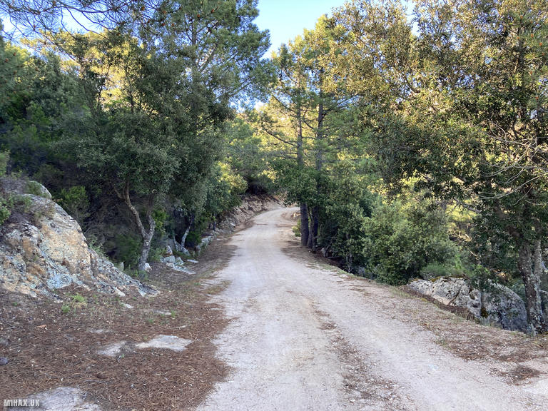
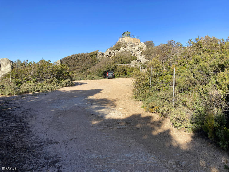
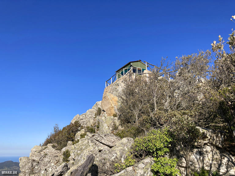
Operating as IS0/M1HAX/P under CEPT agreement guidelines, I drove to a parking area at the start of my planned route. Whilst this did not appear to be an official car park, there was ample room to leave the vehicle. The route follows a sandy road climbing gently to the summit where a forest ranger lookout post stands with parking for two or three cars. It would likely have been possible to drive to the summit, though it was unclear whether the road was private or if there would be parking available at the top.
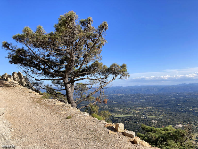
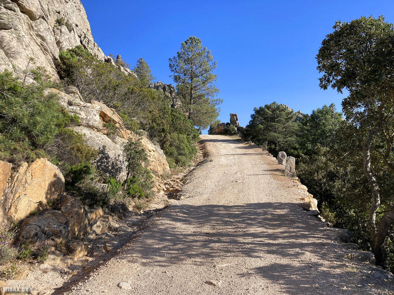
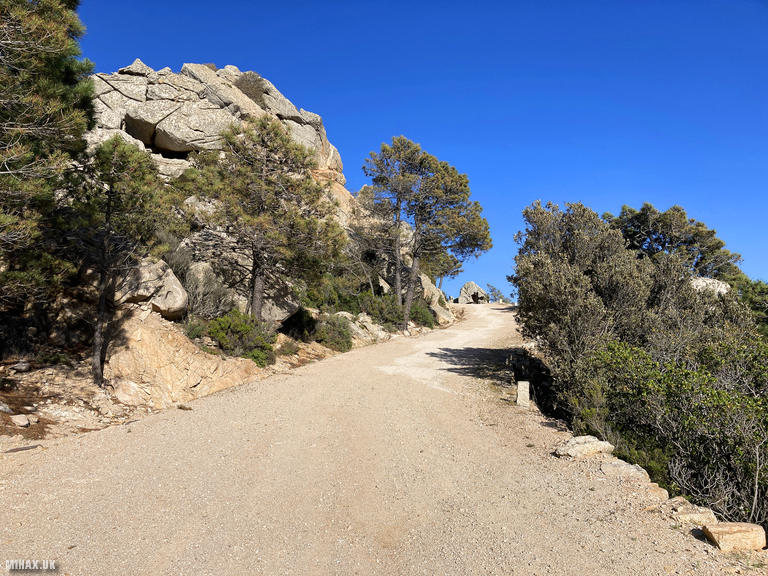
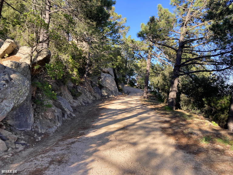
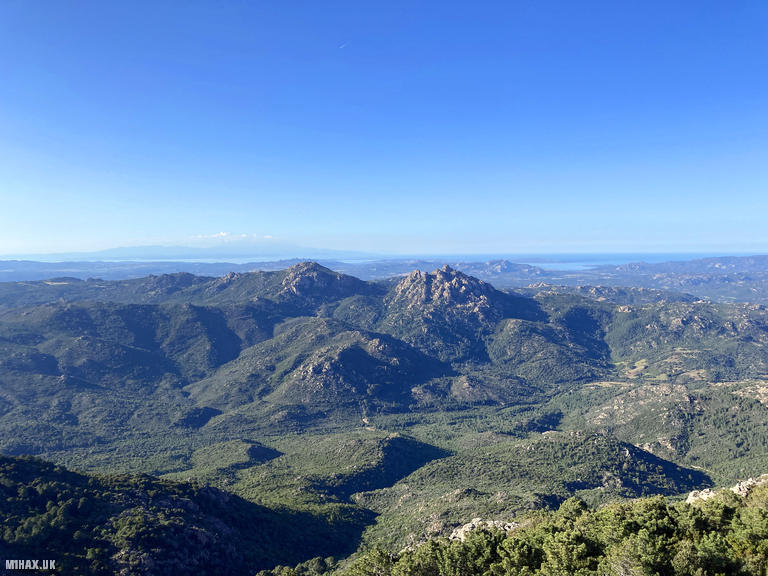
The road climbs the hillside through beautiful Mediterranean scenery. Late in the afternoon it remained sunny but not unpleasantly warm, making for comfortable walking conditions.
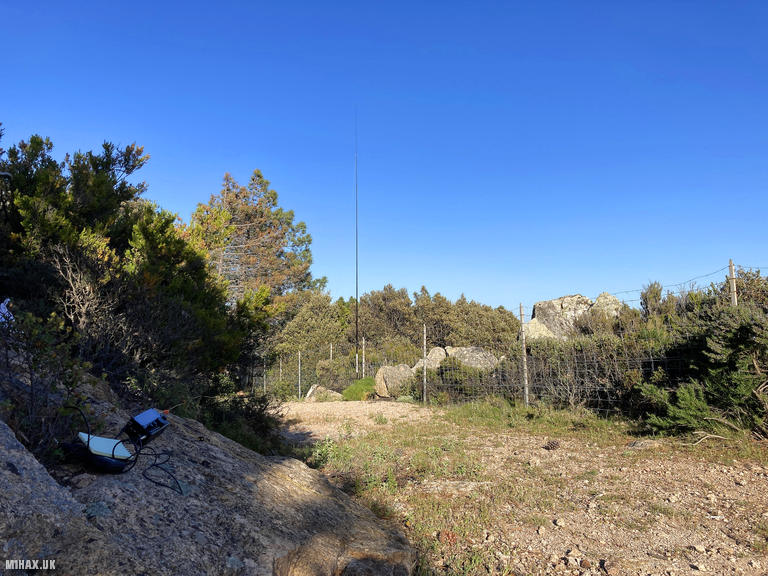
Arriving at the summit, a ranger official appeared to be working inside the lookout hut at the true high point. Wanting to be discrete and not cause any disturbance, I set up my station around the corner from the parking area. I carefully confirmed that my operating position fell within the 25-metre vertical activation zone from the true summit.
Band conditions continued to disappoint on this activation. The 20-metre band was completely closed, and it took almost half an hour to make four contacts on 40 metres. Manuel EA2DT, a reliable chaser, was first in the log, followed by stations from Spain and mainland Italy.
After completing the activation, I walked back down the road to my car. This was a very pleasant and straightforward summit to activate with minimal navigation required. I would recommend it for those seeking an easier Sardinian SOTA point.
Photos
Below are some photographs taken during my activation of Monte Pino on Friday 10th May, 2024.


Walking Route for Monte Pino
The interactive map below shows my GPS track taken to the SOTA activation zone for Monte Pino. The IS0/IS-120 summit area is marked on the map with a blue pin icon.
You can download the route shown above as a GPX file suitable for use with most GPS devices. This file is provided for information only, to support your own walk planning and research (it may contain navigation errors, detours and/or safety hazards). The route downloads provided here are governed by the Creative Commons BY-NC-SA 4.0 licence.
Station Log
I logged the following 4 amateur radio contacts operating as IS0/M1HAX/P from IS0/IS-120 Monte Pino on Friday 10th May, 2024 (all times shown are UTC):
| Time | Callsign | Band | Mode | Notes |
|---|---|---|---|---|
| 16:36 | EA2DT | 40m | SSB | Manuel, 5/8 |
| 16:37 | EA3HYJ | 40m | SSB | Agustin, 5/5 |
| 16:39 | IK2LEY | 40m | SSB | Fabio, 5/5 |
| 16:55 | EA3ARP | 40m | SSB | Joan, 5/2 |
In the notes field I will usually log the other operator’s name and the signal report they provided. In accordance with the Summits on the Air rules, I do not make a log entry where a complete exchange of callsigns and signal reports was unsuccessful.
Additional Information
The following resources may be helpful to walkers, mountaineers and SOTA activators interested in Monte Pino:
- Sotl.as Summit Page for IS0/IS-120 Monte Pino.
- Google Maps Page for Monte Pino.
- Wikipedia entry for Monte Pino.
If you found this content valuable, why not Buy Me a Coffee?