Janos-hegy - HA/KM-019 SOTA (2024)
Summits on the Air Activation Report
Activation Date: Sunday 23rd June, 2024.
Activator(s): Richard M1HAX.
Summit: Janos-hegy, Central Hungary, Hungary.
Summit ID: SOTA reference HA/KM-019 (2 points).
Summit Height: 527m elevation, 193m prominence.
Summit Location: Lat./Long. 47.51806, 18.95917. Maidenhead Grid JN97lm.
Also Activated: HA/KM-025.
Distance: 5.6km travelled with 300m of ascent.
Difficulty: SAC Grade T1.(?)
Elapsed Time: 2h 20m (incl. operating and other summit(s) on the same hike).
Weather: 23°C, cloudy, 11kph NE wind, 69% humidity.
Radio Equipment: Elecraft KX2, Elecraft AX1.
Callsign Used: HA/M1HAX/P.
Contacts: 4 (20m SSB).
Trip Notes
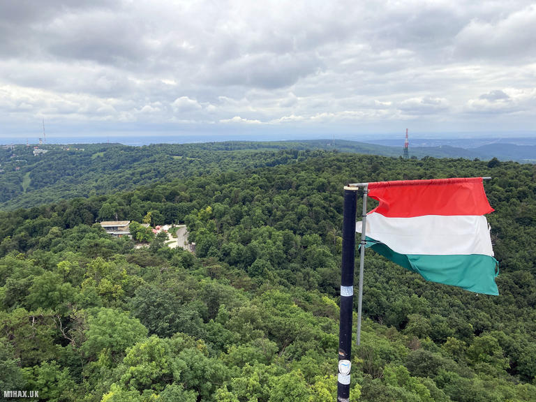
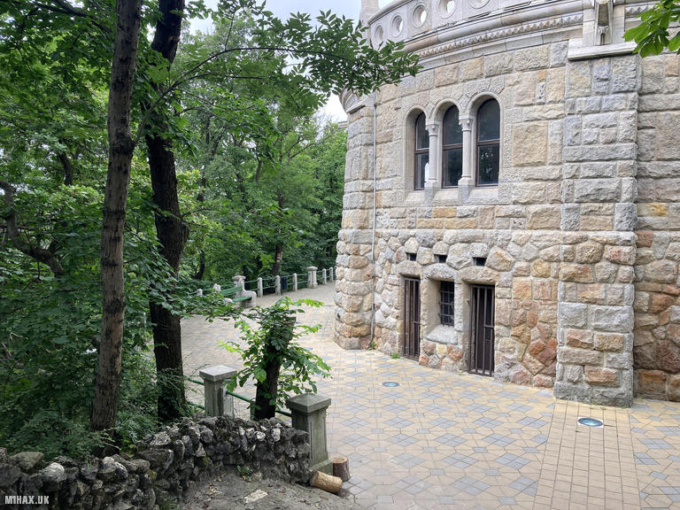
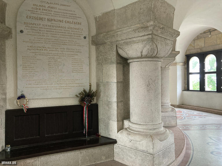
Janos-hegy, at 527 metres elevation, is the highest point within the city limits of Budapest. The summit is crowned by the Elizabeth Lookout Tower, a Neo-Romanesque structure built in 1910 and named after the beloved Empress Elisabeth of Austria, who visited the hill several times in 1882 to admire the panoramic views. The striking white limestone tower with its 134 steps has become an iconic landmark of the Buda Hills, visible from much of the capital city.
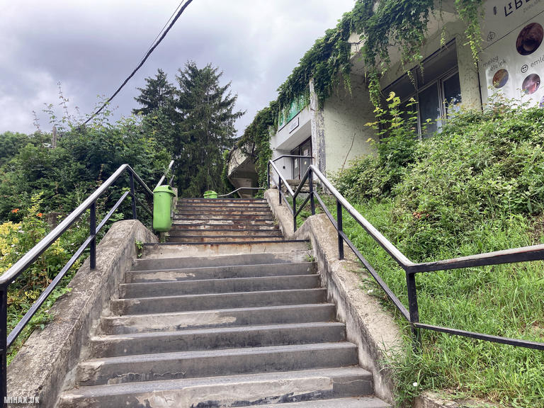
I was visiting Budapest for a few days and wanted to activate this accessible two-point summit while there. From the city centre, I took a taxi to the Zugliget chairlift station, an inexpensive journey that delivered me to the start of this pleasant excursion into the forested hills above the Hungarian capital.
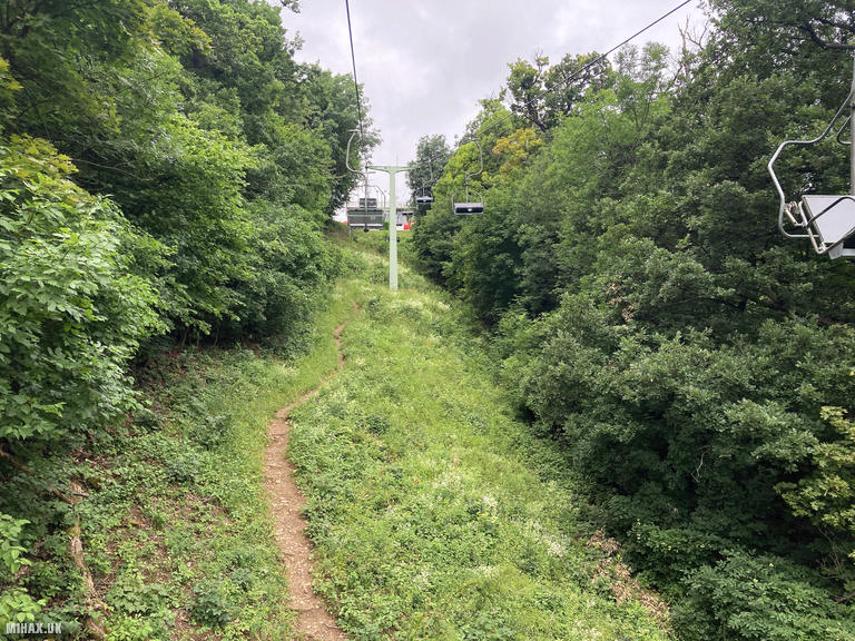
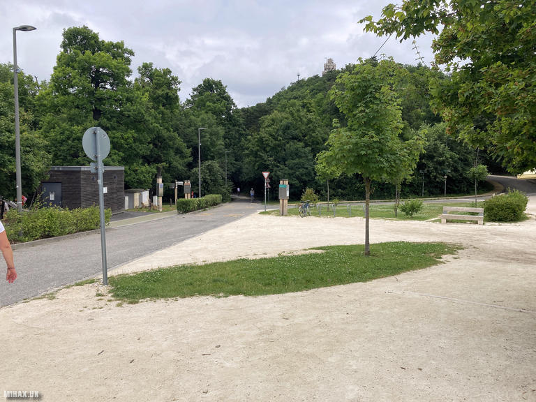
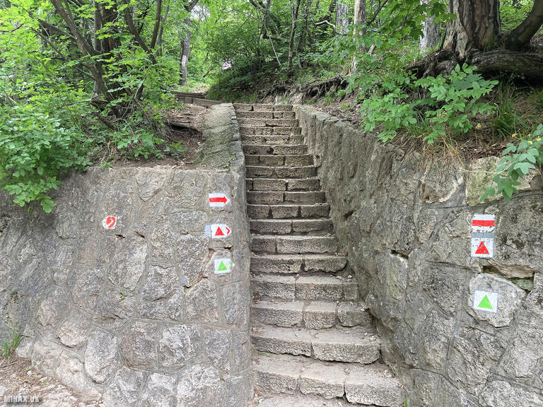
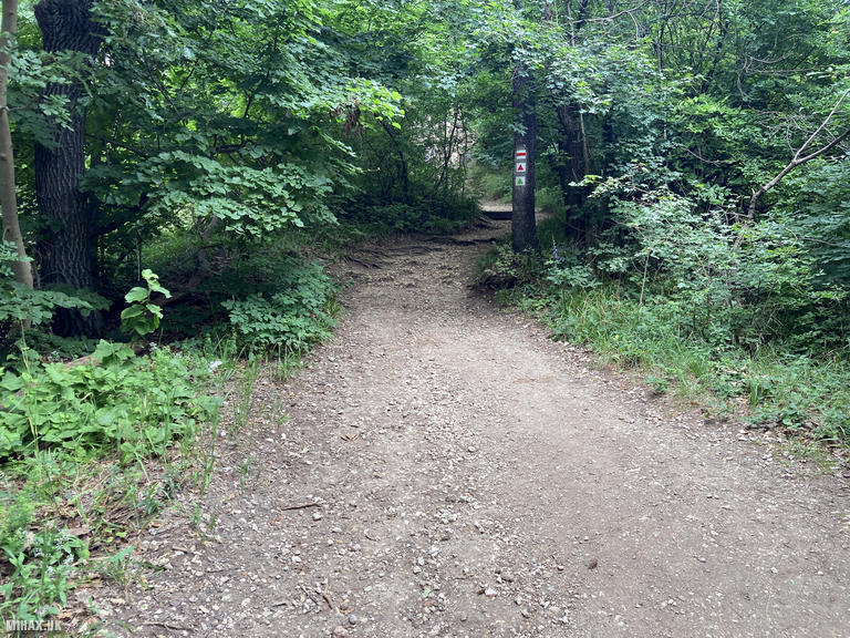
The chairlift ride provides an enjoyable ascent through the woodland canopy. At the upper station, a small cafe offers refreshments and the area serves as a hub for walking routes in multiple directions through this popular recreational forest. My route to the summit was straightforward, following a good gravel path marked with way-markers for approximately 400 metres uphill to the tower.
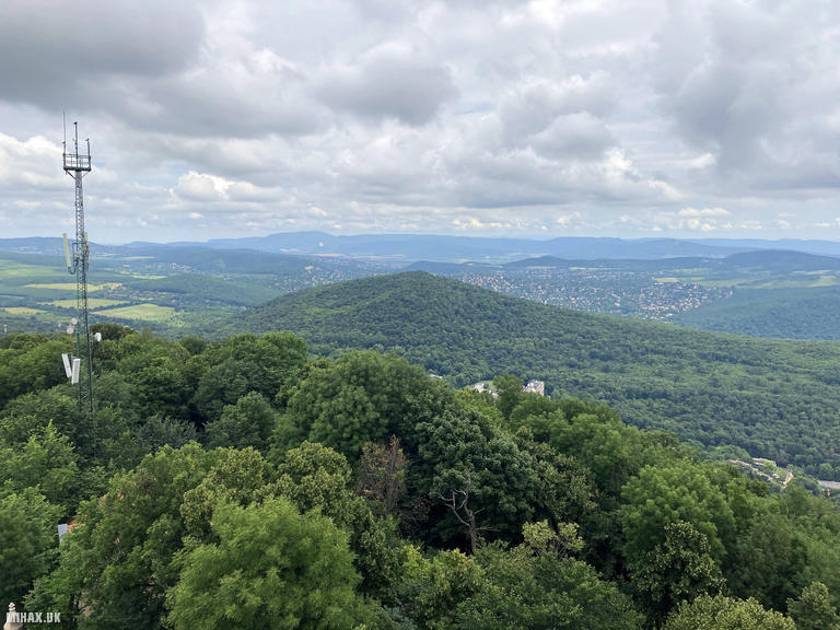
The Elizabeth Lookout Tower dominates the summit area, its distinctive cylindrical form and decorative stonework a testament to early twentieth century craftsmanship. On clear days, views extend to the Tatra Mountains in Slovakia, though the more typical reward is a sweeping panorama across Budapest and the surrounding Buda Hills including the nearby Nagy-Hars-hegy to the north.
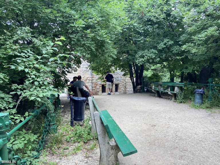
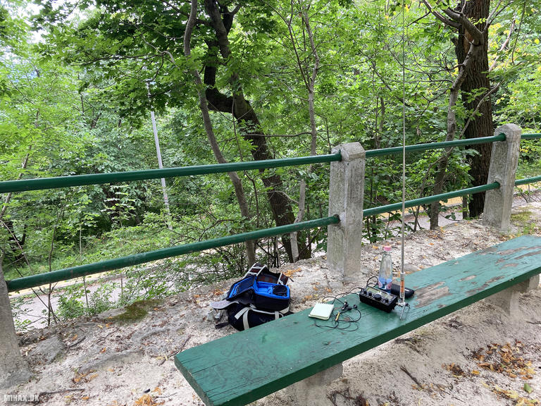
The summit area was quite busy with tourists, so I selected one of several benches dotted around the tower for my operating position. Using my Elecraft KX2 with the compact AX1 whip antenna, I completed a swift activation on 20m SSB, making four contacts including a summit to summit (S2S) with Stavros SV2RUJ/P on SV/MC-027 in Greece. The entire radio operation took under ten minutes.
From Janos-hegy I would continue walking north to activate Nagy-Hars-hegy (HA/KM-025) before returning to the chairlift later in the afternoon.
Photos
Below are some photographs taken during my activation of Janos-hegy on Sunday 23rd June, 2024.

Walking Route for Janos-hegy
The interactive map below shows my GPS track taken to the SOTA activation zone for Janos-hegy. Note that this summit was activated as part of a multi-summit hike and the map below shows the full route taken on the day. The HA/KM-019 summit area is marked on the map with a blue pin icon.
You can download the route shown above as a GPX file suitable for use with most GPS devices. This file is provided for information only, to support your own walk planning and research (it may contain navigation errors, detours and/or safety hazards). The route downloads provided here are governed by the Creative Commons BY-NC-SA 4.0 licence.
Station Log
I logged the following 4 amateur radio contacts operating as HA/M1HAX/P from HA/KM-019 Janos-hegy on Sunday 23rd June, 2024 (all times shown are UTC):
| Time | Callsign | Band | Mode | Notes |
|---|---|---|---|---|
| 09:30 | SM5LNE | 20m | SSB | Jan, 5/4 |
| 09:32 | F6FTB | 20m | SSB | Christian, 5/3 |
| 09:34 | F5PYI | 20m | SSB | Larry, 5/9 |
| 09:37 | SV2RUJ/P | 20m | SSB | Stavros, 5/5, S2S SV/MC-027 |
In the notes field I will usually log the other operator’s name and the signal report they provided. In accordance with the Summits on the Air rules, I do not make a log entry where a complete exchange of callsigns and signal reports was unsuccessful.
Additional Information
The following resources may be helpful to walkers, mountaineers and SOTA activators interested in Janos-hegy:
- Sotl.as Summit Page for HA/KM-019 Janos-hegy.
- Peak Bagger Page for Janos-hegy.
- Google Maps Page for Janos-hegy.
- Wikipedia entry for Janos-hegy.
If you found this content valuable, why not Buy Me a Coffee?