Nagy-Hars-hegy - HA/KM-025 SOTA (2024)
Summits on the Air Activation Report
Activation Date: Sunday 23rd June, 2024.
Activator(s): Richard M1HAX.
Summit: Nagy-Hars-hegy, Central Hungary, Hungary.
Summit ID: SOTA reference HA/KM-025 (1 point).
Summit Height: 454m elevation, 105m prominence.
Summit Location: Lat./Long. 47.53361, 18.95528. Maidenhead Grid JN97lm.
Also Activated: HA/KM-019.
Distance: 5.6km travelled with 300m of ascent.
Difficulty: SAC Grade T1.(?)
Elapsed Time: 2h 20m (incl. operating and other summit(s) on the same hike).
Weather: 23°C, cloudy, 11kph NE wind, 69% humidity.
Radio Equipment: Elecraft KX2, Elecraft AX1.
Callsign Used: HA/M1HAX/P.
Contacts: 6 (20m SSB).
Trip Notes
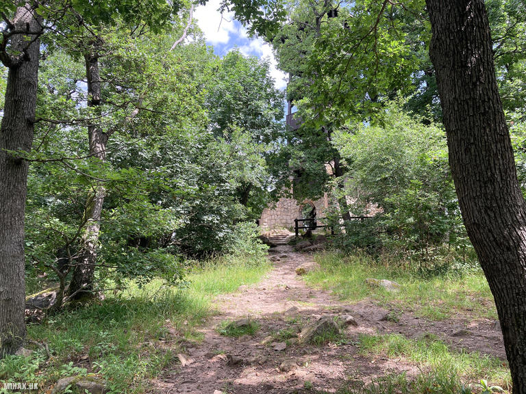
Nagy-Hars-hegy (Great Linden Hill) rises to 454 metres in Budapest’s 2nd district, forming part of the Harshegy area alongside its smaller neighbour Kis-Hars-hegy. The hill has historical significance dating to medieval times, when Bathory Cave on its southeastern slope was mined for iron ore and later served as a hermitage for Pauline monks. Today, the summit is crowned by the Karoly Kaan Lookout Tower, a distinctive oak and red pine structure built in 1989 and named after the forest engineer who oversaw reforestation of the Great Hungarian Plain following the Treaty of Trianon.
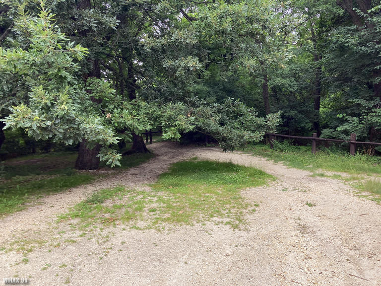
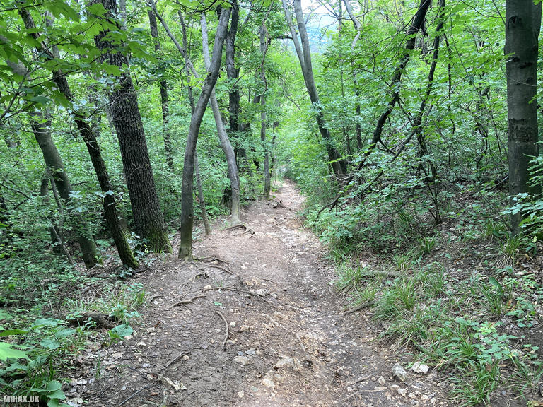
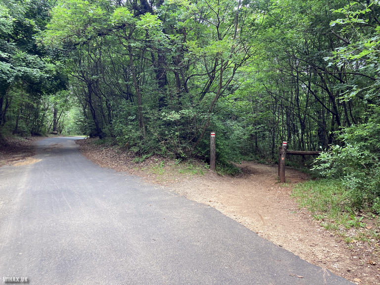
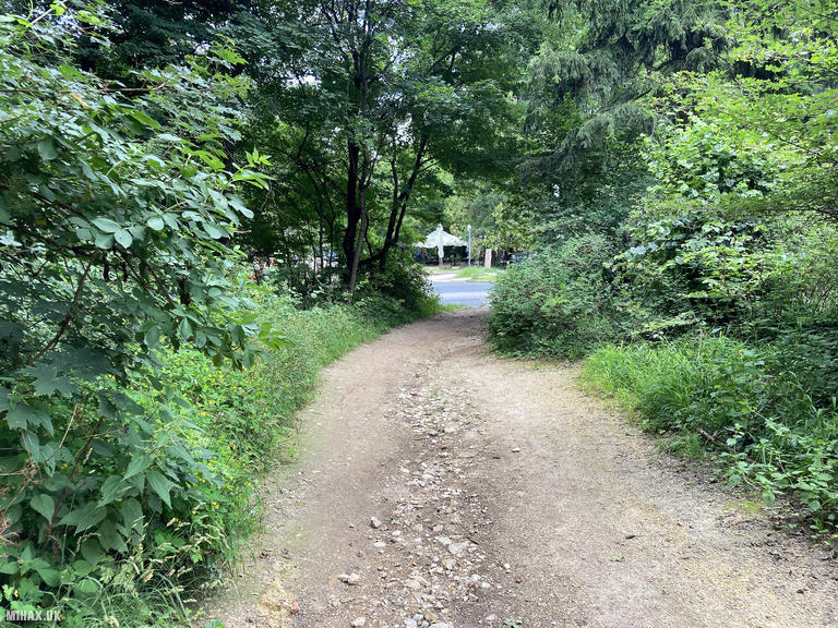
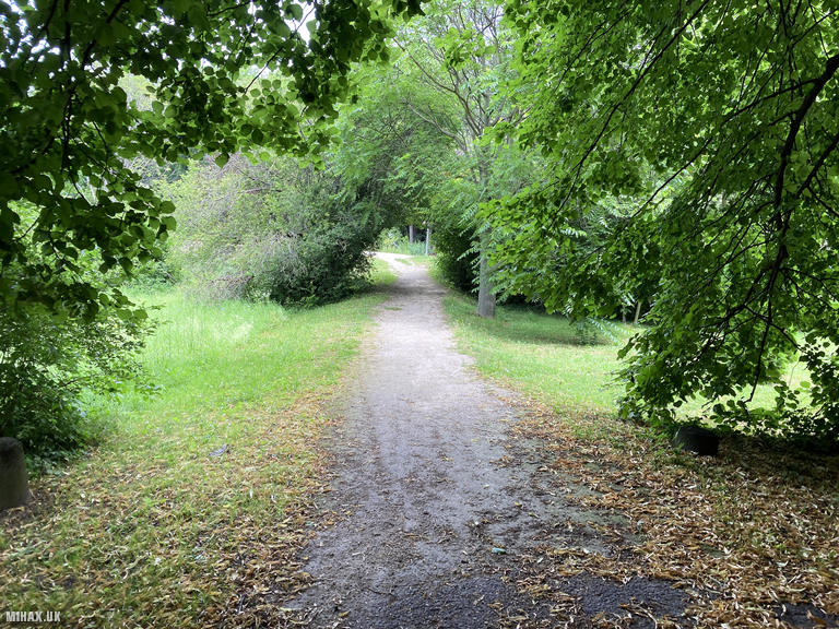
For this activation trip, I walked from Janos-hegy which I had completed earlier that morning. The route follows a linear forest trail heading north toward the Budakeszi road, descending through pleasant woodland before crossing the Children’s Railway line and ascending toward the summit.
The path surface varies between well-maintained gravel sections and steeper, looser terrain with exposed rocks and earth. Trainers were adequate in dry conditions, though the route would likely become muddy after rain. Navigation presented no difficulties.
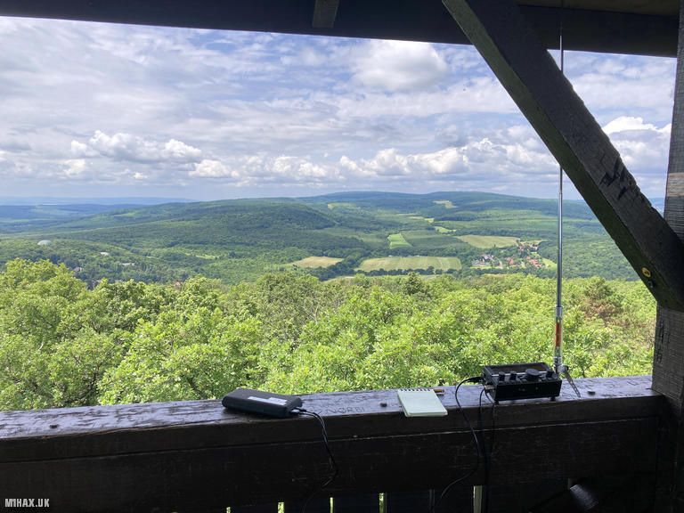
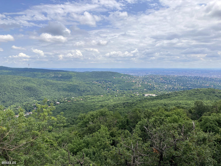
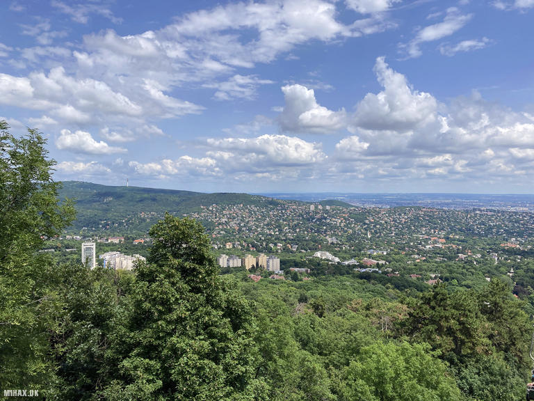
The Kaan Karoly Lookout Tower at the summit provided an excellent operating position. The structure features a roofed observation deck, offering shelter and a comfortable spot for radio work. The 360-degree views from the top encompass central Budapest, the Pilis and Visegrad Mountains, and distant peaks of the Barzsany range to the north.
I set up my Elecraft KX2 with the AX1 antenna again, though in hindsight a long wire could have been suspended from the tower structure. On 20m SSB I made six contacts across Europe, including stations in Spain, Hungary, the UK, Greece, and Italy.
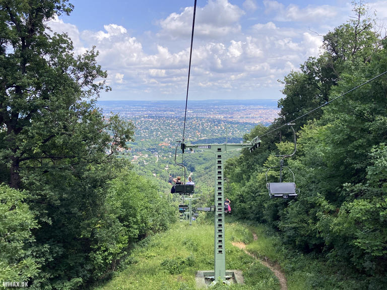
After completing the activation, I retraced my route back toward the Zugliget chairlift, then took a taxi to the city centre. These two hills combined make an excellent half-day excursion from Budapest. My recommendation would be to carry insect repellent as there were numerous biting flies in the woodland.
Photos
Below are some photographs taken during my activation of Nagy-Hars-hegy on Sunday 23rd June, 2024.

Walking Route for Nagy-Hars-hegy
The interactive map below shows my GPS track taken to the SOTA activation zone for Nagy-Hars-hegy. Note that this summit was activated as part of a multi-summit hike and the map below shows the full route taken on the day. The HA/KM-025 summit area is marked on the map with a blue pin icon.
You can download the route shown above as a GPX file suitable for use with most GPS devices. This file is provided for information only, to support your own walk planning and research (it may contain navigation errors, detours and/or safety hazards). The route downloads provided here are governed by the Creative Commons BY-NC-SA 4.0 licence.
Station Log
I logged the following 6 amateur radio contacts operating as HA/M1HAX/P from HA/KM-025 Nagy-Hars-hegy on Sunday 23rd June, 2024 (all times shown are UTC):
| Time | Callsign | Band | Mode | Notes |
|---|---|---|---|---|
| 10:31 | EA3EVL | 20m | SSB | Pablo, 5/5 |
| 10:31 | HA5MA | 20m | SSB | Laszlo, 5/5 |
| 10:31 | M0RWX | 20m | SSB | Robert, 3/3 |
| 10:32 | EA1DHB | 20m | SSB | Ricardo, 5/3 |
| 10:33 | SV1RVJ | 20m | SSB | Kyriakos, 5/5 |
| 10:33 | IZ1JKH | 20m | SSB | Valter, 5/6 |
In the notes field I will usually log the other operator’s name and the signal report they provided. In accordance with the Summits on the Air rules, I do not make a log entry where a complete exchange of callsigns and signal reports was unsuccessful.
Additional Information
The following resources may be helpful to walkers, mountaineers and SOTA activators interested in Nagy-Hars-hegy:
- Sotl.as Summit Page for HA/KM-025 Nagy-Hars-hegy.
- Peak Bagger Page for Nagy-Hars-hegy.
- Google Maps Page for Nagy-Hars-hegy.
- Wikipedia entry for Nagy-Hars-hegy.
If you found this content valuable, why not Buy Me a Coffee?