Normanby Top - G/TW-005 SOTA (2024)
Summits on the Air Activation Report
Activation Date: Sunday 9th June, 2024.
Activator(s): Richard M1HAX.
Summit: Normanby Top, Tees to the Wash, England.
Summit ID: SOTA reference G/TW-005 (1 point).
Summit Height: 168m elevation, 162m prominence.
Summit Location: Lat./Long. 53.45306, -0.31316. Maidenhead Grid IO93uk.
Distance: 0.1km travelled with 0m of ascent.
Difficulty: Drive on summit.
Elapsed Time: 30m (including operating).
Weather: 15°C, clear, 34 kph N wind, 45% humidity.
Radio Equipment: Elecraft KX2, EFHW.
Callsign Used: M1HAX/P.
Contacts: 6 (20m SSB).
Trip Notes
Normanby Top, also known as Wolds Top, is the highest point in the Lincolnshire Wolds at 168 metres. Located within the Lincolnshire Wolds Area of Outstanding Natural Beauty, this gentle summit lies just north of the village of Normanby le Wold. With 162 metres of prominence, it qualifies as a Marilyn and represents the county top for historic Lincolnshire. The summit is marked by an Ordnance Survey triangulation station. The Viking Way long-distance trail passes close by.
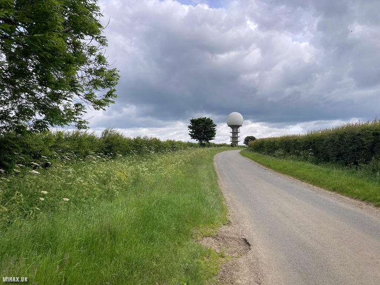
After a rock-climbing trip in the Peak District, I took the opportunity to tick off this small 1-point SOTA summit on the homeward journey. I drove up to Top Road near the distinctive golf ball radar station. Several parking opportunities exist along the road, mostly on grass verges.
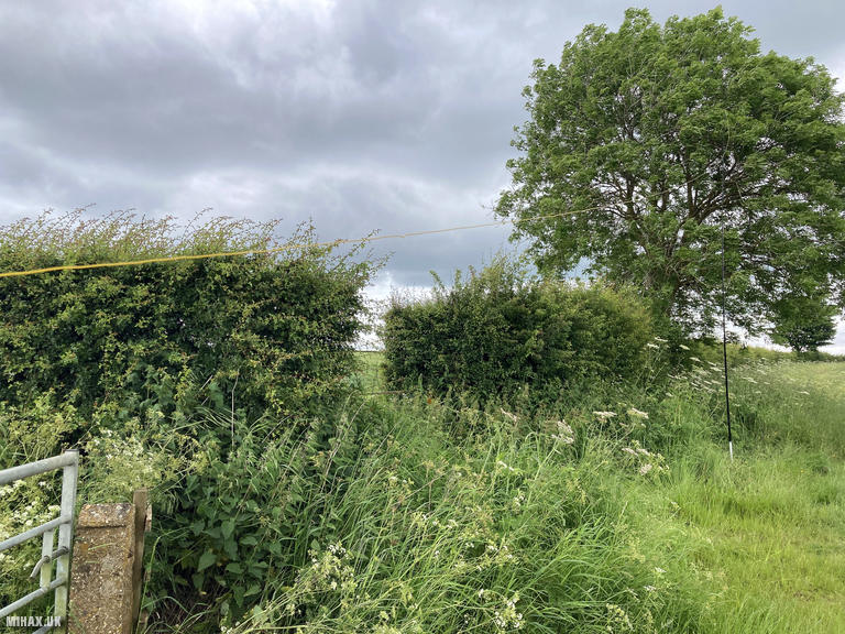
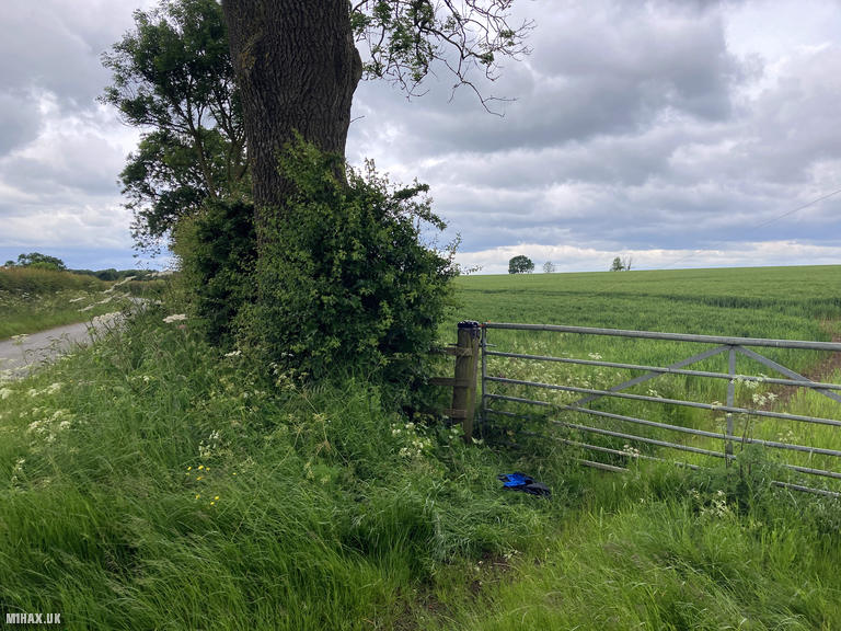
The activation zone for this summit is large, and as there is no public right of way across the farmland to reach the trig point, I decided to operate from the roadside. Permission would be required to cross the private fields to the true summit.
Using a fence post as a makeshift table, I set up my Elecraft KX2 and end-fed wire antenna near my car. As I was only passing through, I did not operate for long but managed six contacts on 20 metres including a summit-to-summit contact with Manuel CS7AWH/P on Castro (CT/MN-049) in Portugal. Some radio frequency interference was observed during the activation, most likely emanating from the nearby communications tower or radar station.
This unremarkable drive-on summit is quite remotely situated relative to other Marilyn summits, making a return visit unlikely. Worth ticking off if passing through the area or if this is your local hill, but may disappoint those expecting dramatic scenery or challenging walking.
Photos
Below are some photographs taken during my activation of Normanby Top on Sunday 9th June, 2024.

Station Log
I logged the following 6 amateur radio contacts operating as M1HAX/P from G/TW-005 Normanby Top on Sunday 9th June, 2024 (all times shown are UTC):
| Time | Callsign | Band | Mode | Notes |
|---|---|---|---|---|
| 10:34 | SP7MAZ | 20m | SSB | Mariusz, 5/9 |
| 10:36 | CS7AWH/P | 20m | SSB | Manuel, 5/1, S2S CT/MN-049 |
| 10:36 | EA2DT | 20m | SSB | Manuel, 4/2 |
| 10:37 | S57ILF | 20m | SSB | Franci, 5/5 |
| 10:37 | EA2DDG | 20m | SSB | Jose, 5/4 |
| 10:39 | 3Z9VI | 20m | SSB | Tomasz, 5/2 |
In the notes field I will usually log the other operator’s name and the signal report they provided. In accordance with the Summits on the Air rules, I do not make a log entry where a complete exchange of callsigns and signal reports was unsuccessful.
Additional Information
The following resources may be helpful to walkers, mountaineers and SOTA activators interested in Normanby Top:
- Sotl.as Summit Page for G/TW-005 Normanby Top.
- Hill Bagging UK Summit Page for Normanby Top.
- Google Maps Page for Normanby Top.
- Wikipedia entry for Normanby Top.
If you found this content valuable, why not Buy Me a Coffee?