Gwaunceste Hill - GW/MW-010 SOTA (2025)
Summits on the Air Activation Report
Activation Date: Saturday 4th January, 2025.
Activator(s): Richard M1HAX.
Summit: Gwaunceste Hill, Mid Wales, Wales.
Summit ID: SOTA reference GW/MW-010 (2 points).
Summit Height: 542m elevation, 163m prominence.
Summit Location: Lat./Long. 52.19173, -3.23289. Maidenhead Grid IO82je.
Distance: 7.7km travelled with 275m of ascent.
Difficulty: SAC Grade T1.(?)
Elapsed Time: 2h 20m (including operating).
Weather: -2°C, cloudy, 4kph NE wind, 99% humidity.
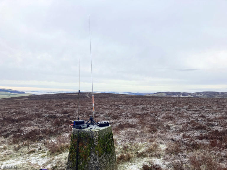
Radio Equipment: Yaesu FTM100D, Diamond RH-770, Zippy 4200mAh 4S LiFePo4.
Callsign Used: MW1HAX/P.
Contacts: 5 (2m FM).
Trip Notes
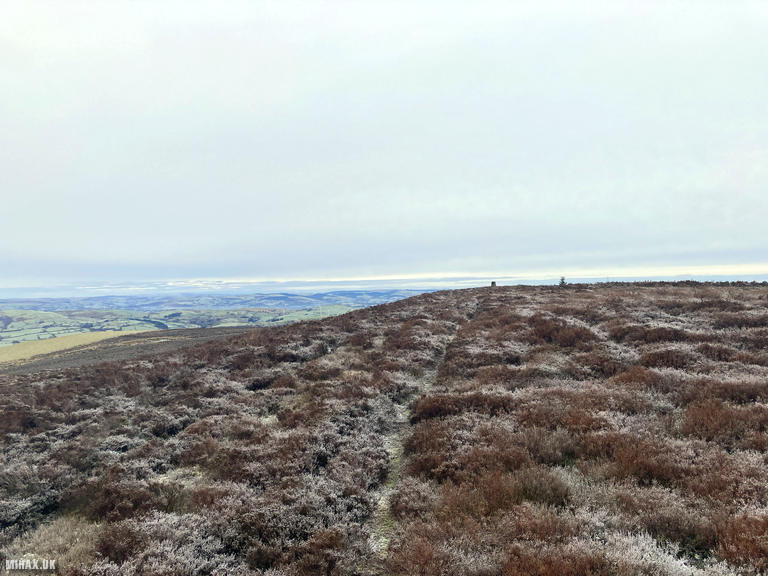
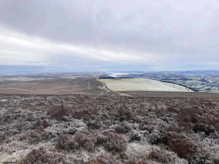
Gwaunceste Hill (542m) stands as the highest summit in the rolling uplands south of the Radnor Forest in Mid Wales. This Marilyn with 165 metres of prominence occupies a strategic position overlooking the source of the River Arrow, a tributary of the Wye. The summit offers expansive views across the Radnor hills to the north, the Black Mountains to the south, and on clear days, the Cambrian Mountains far to the west. The area remains refreshingly quiet, a world away from the popular peaks of Snowdonia or the Brecon Beacons.
Having previously approached from the southern side in 2020, I wanted to attempt a new route from the north. While this direction involves slightly more distance and ascent, it benefits from straightforward access via main road, an important consideration on this bitterly cold winter day with ice on the ground and a snow storm approaching from the west.
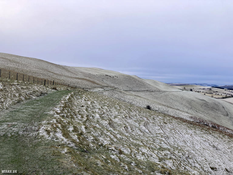
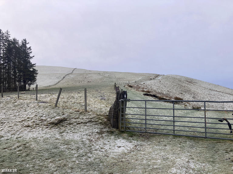
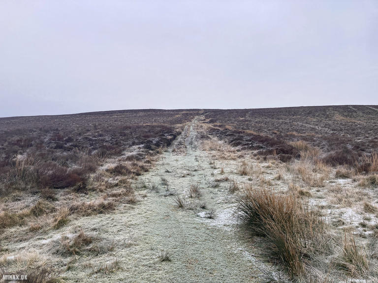
I parked in a large gravel area beside the road, where there was nobody to be seen. The spot felt exposed in a security sense, being fully visible next to a quiet main road in a remote area. A bridleway crosses private land before reaching the open access area surrounding the hill. An obvious grassy trail led from the parking area all the way to the trig point on the summit, making navigation straightforward even in deteriorating visibility.
The ascent was completed at pace given the incoming weather. Two unexpected challenges complicated this activation. My walking partner had left her new insulated jacket in the car by accident, which meant I had to sacrifice my own coat at the summit while operating the radio. This was compounded by the SOTA spotting website being offline due to a technical malfunction, preventing me from alerting chasers to my presence.
Attempts to chase other stations on HF proved unsuccessful, but fortunately I had also brought my Yaesu FTM100D VHF radio. Thankfully, regular chasers had seen my SOTA alert posted the day before and were listening for me on two metres. I made five contacts including a summit to summit (S2S) with M6NSV/P on G/WB-004. The activation was completed swiftly before retreating ahead of the approaching snow storm.
Although this northern route is marginally longer than my previous approach, it offers a pleasant walk with good underfoot conditions and I would recommend this direction.
Photos
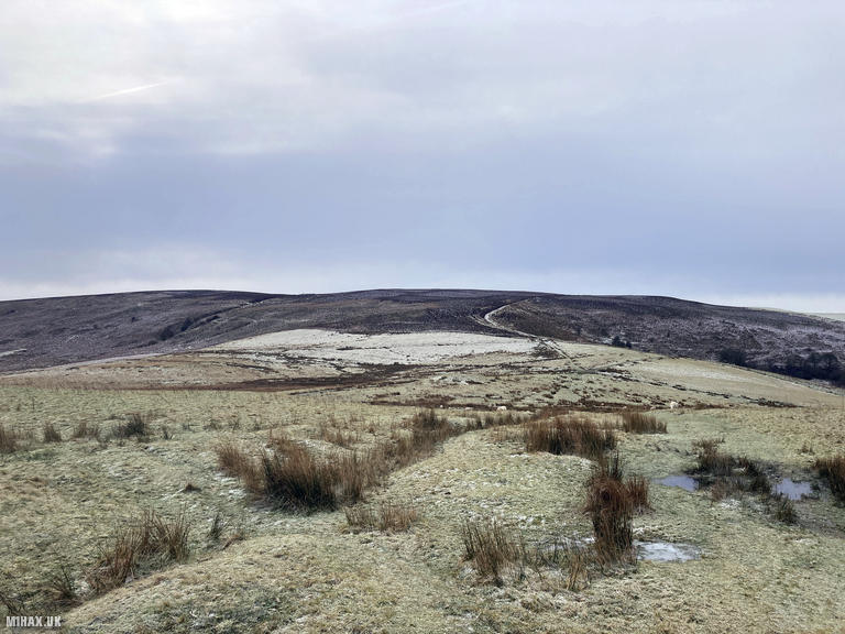
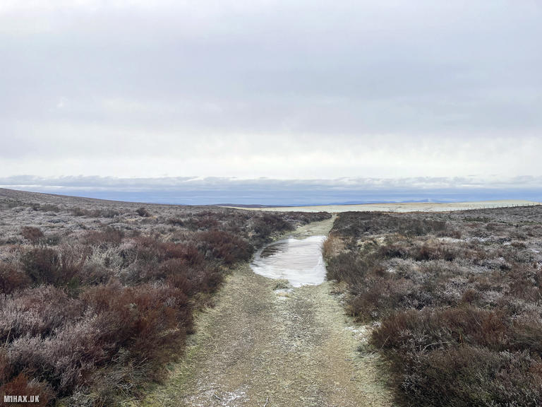
Below are some photographs taken during my activation of Gwaunceste Hill on Saturday 4th January, 2025.

Walking Route for Gwaunceste Hill
The interactive map below shows my GPS track taken to the SOTA activation zone for Gwaunceste Hill. The GW/MW-010 summit area is marked on the map with a blue pin icon.
You can download the route shown above as a GPX file suitable for use with most GPS devices. This file is provided for information only, to support your own walk planning and research (it may contain navigation errors, detours and/or safety hazards). The route downloads provided here are governed by the Creative Commons BY-NC-SA 4.0 licence.
Station Log
I logged the following 5 amateur radio contacts operating as MW1HAX/P from GW/MW-010 Gwaunceste Hill on Saturday 4th January, 2025 (all times shown are UTC):
| Time | Callsign | Band | Mode | Notes |
|---|---|---|---|---|
| 11:12 | G0LGS | 2m | FM | s59 r59 |
| 11:13 | M0JLA | 2m | FM | s59 r59 |
| 11:13 | M6NSV/P | 2m | FM | s59 r59, S2S G/WB-004 |
| 11:15 | G0TFD | 2m | FM | s52 r51 |
| 11:16 | MW0XMG | 2m | FM | s59 r58 |
In the notes field I will usually log the other operator’s name and the signal report they provided. In accordance with the Summits on the Air rules, I do not make a log entry where a complete exchange of callsigns and signal reports was unsuccessful.
Additional Information
The following resources may be helpful to walkers, mountaineers and SOTA activators interested in Gwaunceste Hill:
- Sotl.as Summit Page for GW/MW-010 Gwaunceste Hill.
- Hill Bagging UK Summit Page for Gwaunceste Hill.
- Google Maps Page for Gwaunceste Hill.
- Wikipedia entry for Gwaunceste Hill.
If you found this content valuable, why not Buy Me a Coffee?