Allt yr Esgair - GW/SW-023 SOTA (2025)
Summits on the Air Activation Report
Activation Date: Sunday 16th February, 2025.
Activator(s): Richard M1HAX.
Summit: Allt yr Esgair, South Wales, Wales.
Summit ID: SOTA reference GW/SW-023 (1 point).
Summit Height: 393m elevation, 199m prominence.
Summit Location: Lat./Long. 51.91085, -3.27181. Maidenhead Grid IO81iv.
Distance: 3.0km travelled with 195m of ascent.
Difficulty: SAC Grade T1.(?)
Elapsed Time: 1h 20m (including operating).
Weather: 3deg;C, mist, 19kph ESE wind, 87% humidity.
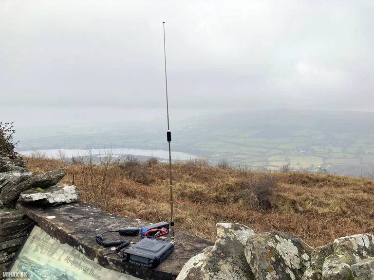
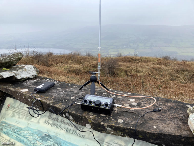
Radio Equipment: Yaesu FTM100D, Diamond RH-770, Zippy 4200mAh 4S LiFePo4, Elecraft KX2, AX1.
Callsign Used: MW1HAX/P.
Contacts: 16 (2m FM, 20m SSB, 17m SSB).
Trip Notes
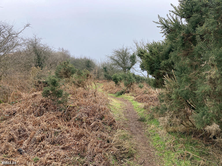
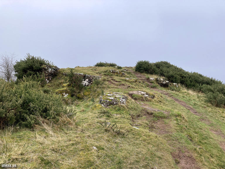
Allt yr Esgair, known locally as ‘The Allt’, is a modest but characterful summit rising to 393 metres above the Usk Valley in the Brecon Beacons. The Welsh name translates as ‘wooded slope of the ridge’, aptly describing the approach through pleasant woodland before emerging onto the open hillside. The summit is crowned by the remains of an Iron Age hillfort, one of several defensive sites overlooking the valley, and the Roman road linking the fort of Cicucium at Y Gaer near Brecon with Gobannium at Abergavenny runs along the ridge. With 199 metres of prominence, this is a Marilyn offering views that belie its height.
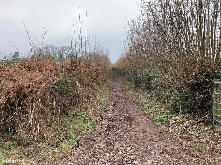
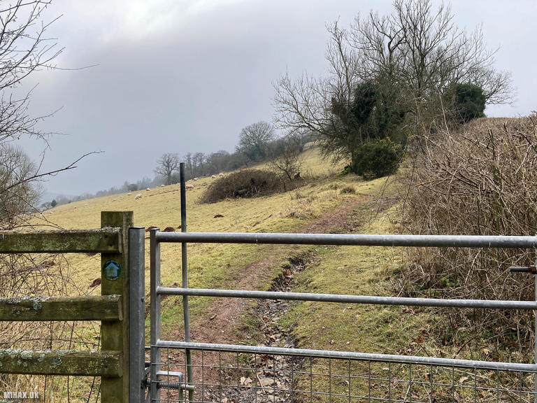
I have often considered activating Allt yr Esgair but had always been distracted by more significant nearby mountains. On this February day I finally made the short pilgrimage from the Llangasty village hall car park, following a popular bridleway track heading south toward the summit.
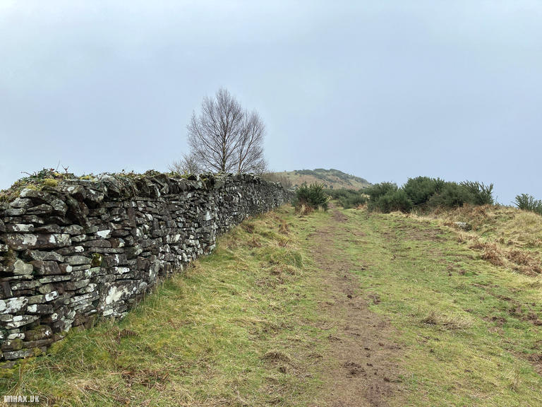
The route is straightforward and well used by locals and dog walkers. At grid reference SO 1234 2518, the track splits. The left-hand (eastern) option is recommended as it remains drier and less churned than the alternative. A stone wall provides guidance along the upper slopes of the mountain.
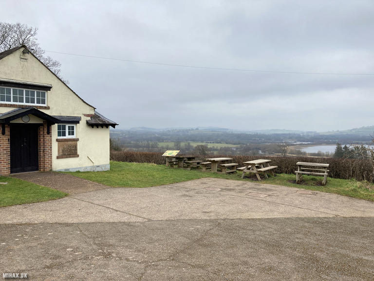
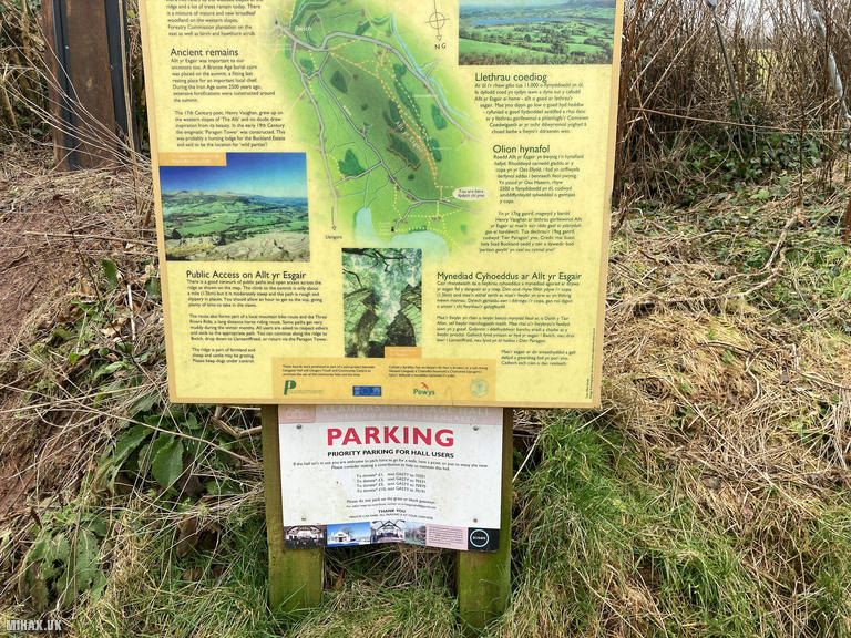
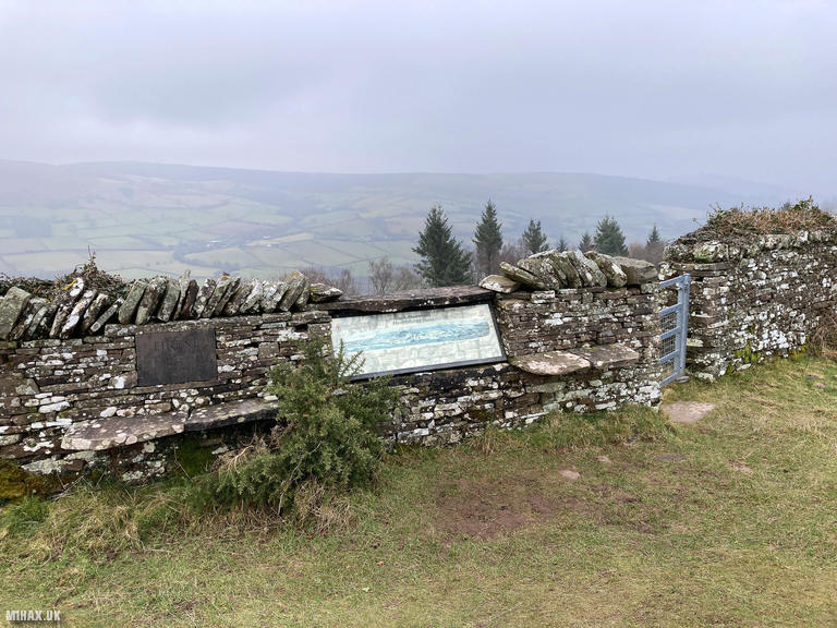
Near the summit, a bench and an informational board describe the panoramic views: Pen y Fan and the central Brecon Beacons to the west, Llangorse Lake (the largest natural lake in South Wales) below to the north, and the dramatic peaks of the Black Mountains stretching northeast toward Hay-on-Wye. There is also a memorial plaque to Eirene, Baroness White of Rhymney, who served as President of the Council for the Protection of Rural Wales.
The two-metre band was quiet, yielding only one local contact. However, HF provided excellent activity with my Elecraft KX2 and AX1 antenna. I worked sixteen stations across Europe on 20m and 17m SSB, including three summit-to-summit contacts: Leszek SQ9MDF/P and Violeta SQ9NOT/P both on SP/BZ-032 in Poland, and EA5ER/P on EA5/VL-029 in Spain.
This is an easy and worthwhile one-point summit offering historical interest and superb views for minimal effort.
Photos
Below are some photographs taken during my activation of Allt yr Esgair on Sunday 16th February, 2025.

Walking Route for Allt yr Esgair
The interactive map below shows my GPS track taken to the SOTA activation zone for Allt yr Esgair. The GW/SW-023 summit area is marked on the map with a blue pin icon.
You can download the route shown above as a GPX file suitable for use with most GPS devices. This file is provided for information only, to support your own walk planning and research (it may contain navigation errors, detours and/or safety hazards). The route downloads provided here are governed by the Creative Commons BY-NC-SA 4.0 licence.
Station Log
I logged the following 16 amateur radio contacts operating as MW1HAX/P from GW/SW-023 Allt yr Esgair on Sunday 16th February, 2025 (all times shown are UTC):
| Time | Callsign | Band | Mode | Notes |
|---|---|---|---|---|
| 13:51 | MW7EHV/P | 2m | FM | s59 r59 |
| 13:59 | EA2DT | 20m | SSB | s54 r52 |
| 14:00 | F5PYI | 20m | SSB | s57 r55 |
| 14:00 | 3Z9VI | 20m | SSB | s57 r54 |
| 14:01 | EA3ARP | 20m | SSB | s44 r53 |
| 14:02 | EA8DGS | 20m | SSB | s56 r53 |
| 14:03 | DL5AZZ | 20m | SSB | s58 r57 |
| 14:03 | DL2DXA | 20m | SSB | s58 r56 |
| 14:04 | OH3GZ | 20m | SSB | s52 r59 |
| 14:04 | EA1AAP | 20m | SSB | s52 r55 |
| 14:05 | SQ9CWO | 20m | SSB | s55 r55 |
| 14:07 | SQ9MDF/P | 20m | SSB | s31 r31, S2S SP/BZ-032 |
| 14:09 | SQ9NOT/P | 20m | SSB | s52 r42, S2S SP/BZ-032 |
| 14:11 | EA3EVL | 17m | SSB | s55 r55 |
| 14:13 | EA5ER/P | 17m | SSB | s56 r56, S2S EA5/VL-029 |
| 14:13 | DD7UW | 17m | SSB | s58 r55 |
In the notes field I will usually log the other operator’s name and the signal report they provided. In accordance with the Summits on the Air rules, I do not make a log entry where a complete exchange of callsigns and signal reports was unsuccessful.
Additional Information
The following resources may be helpful to walkers, mountaineers and SOTA activators interested in Allt yr Esgair:
- Sotl.as Summit Page for GW/SW-023 Allt yr Esgair.
- Hill Bagging UK Summit Page for Allt yr Esgair.
- Google Maps Page for Allt yr Esgair.
- Wikipedia entry for Allt yr Esgair.
If you found this content valuable, why not Buy Me a Coffee?