Botley Hill - G/SE-005 SOTA (2025)
Summits on the Air Activation Report
Activation Date: Sunday 13th April, 2025.
Activator(s): Richard M1HAX.
Summit: Botley Hill, Southern England, England.
Summit ID: SOTA reference G/SE-005 (1 point).
Summit Height: 270m elevation, 209m prominence.
Summit Location: Lat./Long. 51.27884, -0.01262. Maidenhead Grid IO91xg.
Distance: 1.8km travelled with 25m of ascent.
Difficulty: SAC Grade T1.(?)
Elapsed Time: 45m (including operating).
Weather: 14°C, rain showers, 19kph SW wind, 65% humidity.
Radio Equipment: Elecraft KX2, EFHW.
Callsign Used: M1HAX/P.
Contacts: 6 (20m SSB, 40m SSB).
Trip Notes
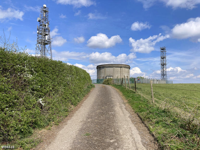
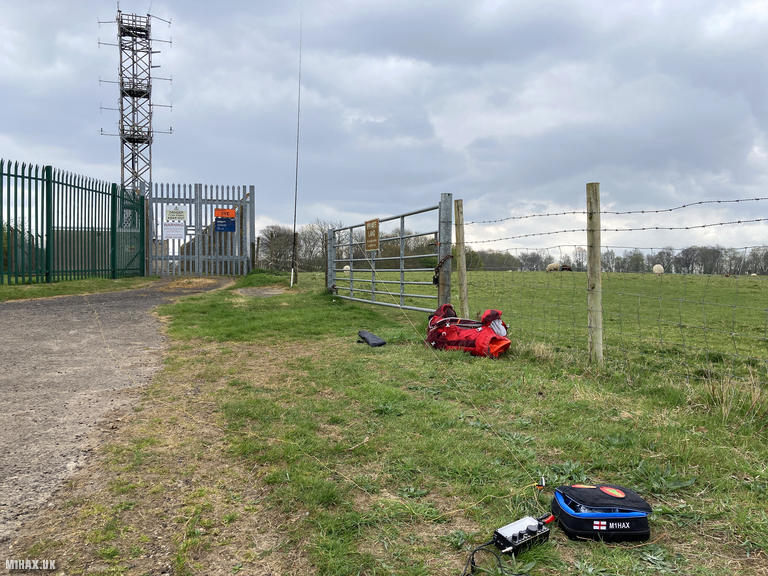
Botley Hill (270m) sits on the Greensand Ridge in Surrey, marked by prominent radio masts that are visible from the surrounding countryside. Despite being the highest point in the London Borough of Croydon, the summit itself is relatively indistinct, characterised by transmission infrastructure rather than natural features.
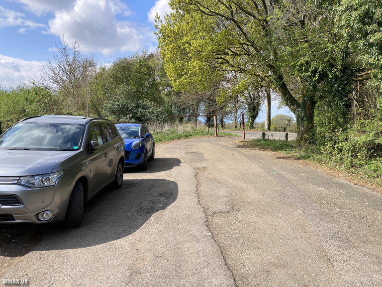
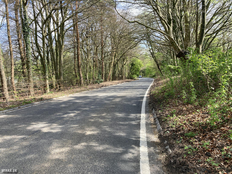
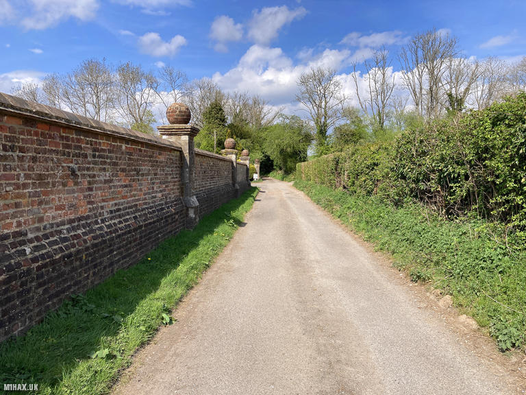
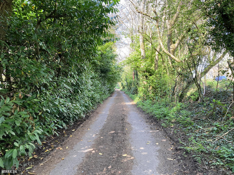
I parked in a small free parking area/layby slightly to the southwest of the hill. The route follows a main road briefly before turning north to climb a track toward the summit. During the walk, it became apparent that it would have been entirely possible to drive right up to the radio masts without any difficulty. This is essentially another drive-on summit for those not inclined to walk.
Rain had started falling by the time I reached the top. I attached my mast pole to the livestock field fence line and set up my Elecraft KX2 with an EFHW antenna. Despite the wet conditions, I made six contacts across 20m and 40m SSB, working stations in Italy, Norway, Spain, Northern Ireland, Belgium, and England.
I returned the way I came. This is not a particularly exciting hill to visit but is easy to tick off. It could make a convenient location for easy field testing of SOTA equipment. Combined with the nearby higher summit of Leith Hill, it can form part of a productive day in the Surrey Hills. The Botley Hill Farmhouse down the road to the east is a worthwhile lunch spot if passing through.
Photos
Below are some photographs taken during my activation of Botley Hill on Sunday 13th April, 2025.

Walking Route for Botley Hill
The interactive map below shows my GPS track taken to the SOTA activation zone for Botley Hill. The G/SE-005 summit area is marked on the map with a blue pin icon.
You can download the route shown above as a GPX file suitable for use with most GPS devices. This file is provided for information only, to support your own walk planning and research (it may contain navigation errors, detours and/or safety hazards). The route downloads provided here are governed by the Creative Commons BY-NC-SA 4.0 licence.
Station Log
I logged the following 6 amateur radio contacts operating as M1HAX/P from G/SE-005 Botley Hill on Sunday 13th April, 2025 (all times shown are UTC):
| Time | Callsign | Band | Mode | Notes |
|---|---|---|---|---|
| 13:28 | IK6BAK | 20m | SSB | s56 r44 |
| 13:29 | LA6FTA | 20m | SSB | s53 r33 |
| 13:30 | EA3EVL | 20m | SSB | s56 r55 |
| 13:40 | GI4OSF | 40m | SSB | s57 r55 |
| 13:41 | ON7ZM | 40m | SSB | s56 r44 |
| 13:41 | M1AOB | 40m | SSB | s55 r55 |
In the notes field I will usually log the other operator’s name and the signal report they provided. In accordance with the Summits on the Air rules, I do not make a log entry where a complete exchange of callsigns and signal reports was unsuccessful.
Additional Information
The following resources may be helpful to walkers, mountaineers and SOTA activators interested in Botley Hill:
- Sotl.as Summit Page for G/SE-005 Botley Hill.
- Hill Bagging UK Summit Page for Botley Hill.
- Google Maps Page for Botley Hill.
- Wikipedia entry for Botley Hill.
If you found this content valuable, why not Buy Me a Coffee?