Cliffe Hill - G/SE-014 SOTA (2025)
Summits on the Air Activation Report
Activation Date: Saturday 12th April, 2025.
Activator(s): Richard M1HAX.
Summit: Cliffe Hill, Southern England, England.
Summit ID: SOTA reference G/SE-014 (1 point).
Summit Height: 164m elevation, 150m prominence.
Summit Location: Lat./Long. 50.87811, 0.03704. Maidenhead Grid JO00av.
Distance: 3.9km travelled with 95m of ascent.
Difficulty: SAC Grade T1.(?)
Elapsed Time: 1h 5m (including operating).
Weather: 18°C, cloudy, 9kph S wind, 47% humidity.
Radio Equipment: Elecraft KX2, Elecraft AX1.
Callsign Used: M1HAX/P.
Contacts: 5 (20m SSB).
Trip Notes
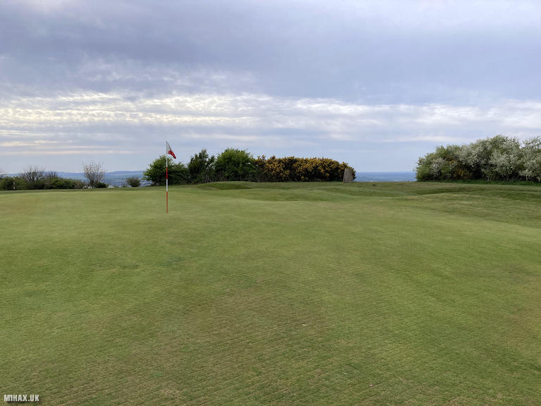
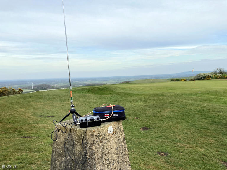
Cliffe Hill (164m) is a modest summit on the South Downs near Lewes, notable primarily for the fact that the trig point sits adjacent to one of the putting greens at Lewes Golf Club. This unusual situation requires some consideration when planning an activation. The summit was my final hill of a productive Saturday that saw five summits activated across Sussex.
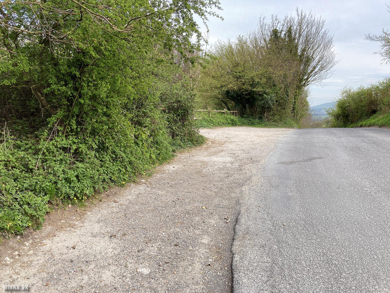
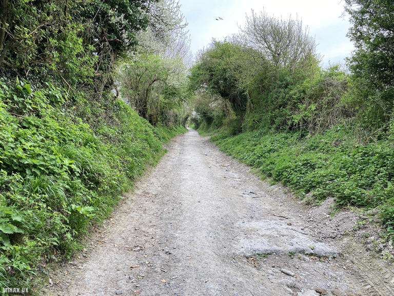
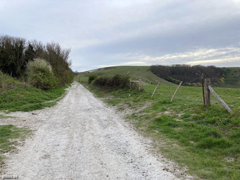
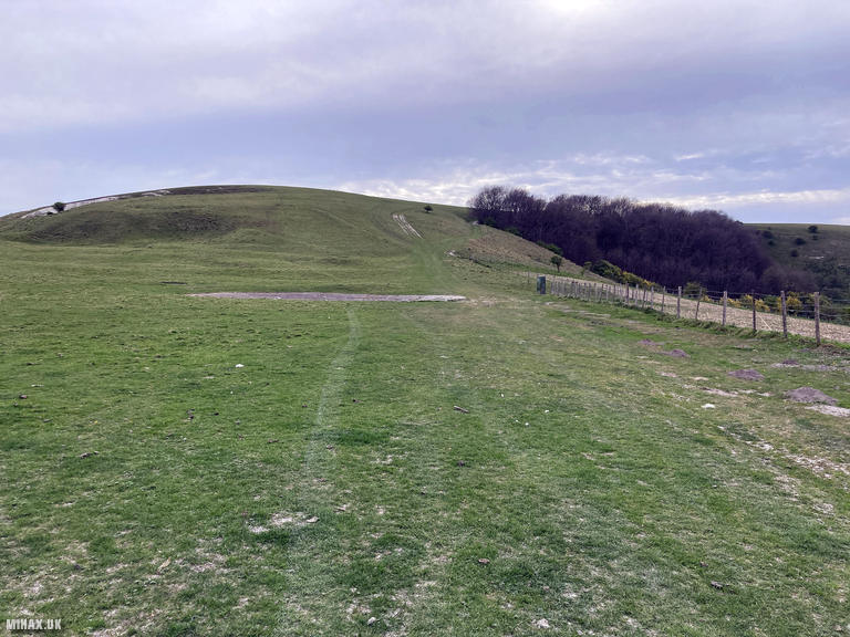
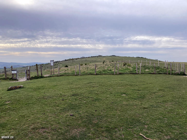
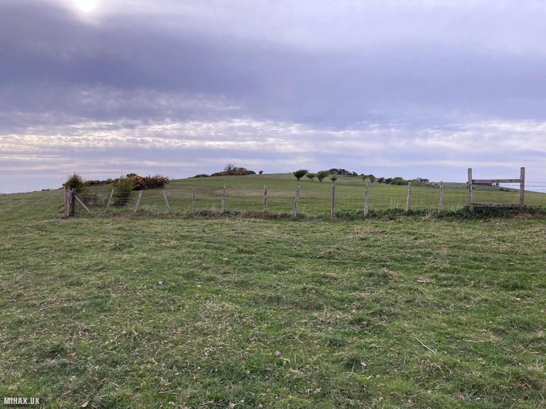
I parked in a roadside gravel area with space for several cars. The route initially follows the Week Lane bridleway heading south from the start point. At a junction, turn west and climb toward the summit. A fence with a stile of sorts marks the boundary where the Lewes Golf Club begins. Activators may wish to seek permission in advance from the golf club shop, though on this windy late afternoon the course was deserted.
I made a quick dash up the fairway to the trig point and set up my Elecraft KX2. Operating discretely, I made five contacts on 20m SSB in just a few minutes, including a S2S with OK/DG0JMB/P on OK/US-024. With the activation complete, I made a speedy exit retracing my ascent route.
This is not a summit I would linger on given its location, but it is straightforward to access and can be completed quickly when conditions permit, ideally outside of busy golfing hours.
Photos
Below are some photographs taken during my activation of Cliffe Hill on Saturday 12th April, 2025.

Walking Route for Cliffe Hill
The interactive map below shows my GPS track taken to the SOTA activation zone for Cliffe Hill. The G/SE-014 summit area is marked on the map with a blue pin icon.
You can download the route shown above as a GPX file suitable for use with most GPS devices. This file is provided for information only, to support your own walk planning and research (it may contain navigation errors, detours and/or safety hazards). The route downloads provided here are governed by the Creative Commons BY-NC-SA 4.0 licence.
Station Log
I logged the following 5 amateur radio contacts operating as M1HAX/P from G/SE-014 Cliffe Hill on Saturday 12th April, 2025 (all times shown are UTC):
| Time | Callsign | Band | Mode | Notes |
|---|---|---|---|---|
| 16:37 | IN3ADF | 20m | SSB | s52 r33 |
| 16:37 | EA7GV | 20m | SSB | s54 r52 |
| 16:39 | OK/DG0JMB/P | 20m | SSB | s53 r41, S2S OK/US-024 |
| 16:40 | SV3IEG | 20m | SSB | s58 r55 |
| 16:41 | EA1DHB | 20m | SSB | s58 r55 |
In the notes field I will usually log the other operator’s name and the signal report they provided. In accordance with the Summits on the Air rules, I do not make a log entry where a complete exchange of callsigns and signal reports was unsuccessful.
Additional Information
The following resources may be helpful to walkers, mountaineers and SOTA activators interested in Cliffe Hill:
- Sotl.as Summit Page for G/SE-014 Cliffe Hill.
- Hill Bagging UK Summit Page for Cliffe Hill.
- Google Maps Page for Cliffe Hill.
- Wikipedia entry for Cliffe Hill.
If you found this content valuable, why not Buy Me a Coffee?