Firle Beacon - G/SE-010 SOTA (2025)
Summits on the Air Activation Report
Activation Date: Saturday 12th April, 2025.
Activator(s): Richard M1HAX.
Summit: Firle Beacon, Southern England, England.
Summit ID: SOTA reference G/SE-010 (1 point).
Summit Height: 217m elevation, 196m prominence.
Summit Location: Lat./Long. 50.83379, 0.10815. Maidenhead Grid JO00bu.
Distance: 3.2km travelled with 55m of ascent.
Difficulty: SAC Grade T1.(?)
Elapsed Time: 1h 5m (including operating).
Weather: 18°C, cloudy, 9kph S wind, 47% humidity.
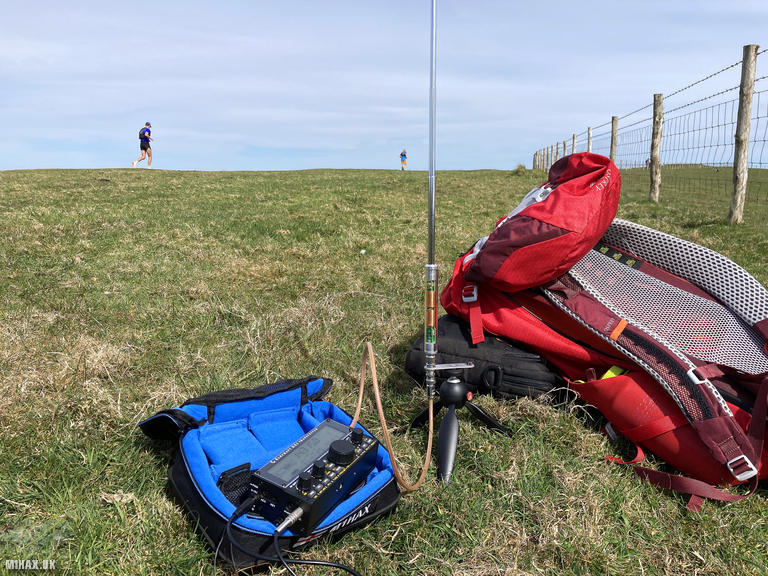
Radio Equipment: Yaesu FTM100D, Diamond RH-770, Zippy 4200mAh 4S LiFePo4, Elecraft KX2, AX1.
Callsign Used: M1HAX/P.
Contacts: 6 (20m SSB).
Trip Notes
Firle Beacon rises above the village of Firle on the South Downs escarpment, offering commanding views across the Weald to the north and toward the English Channel to the south. The summit lies along the South Downs Way long distance path and has been traversed by travellers for millennia. Bronze Age burial mounds dot the surrounding ridgeline, evidence of the area’s long human history.
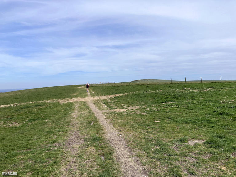
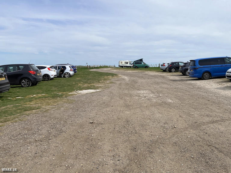
I parked at the large pay and display car park at Firle Bostal, located at the saddle between Firle Beacon and Beddingham Hill. The area was quite busy, perhaps due to an apparent marathon event taking place that day. From the car park, a grassy footpath follows the western shoulder of the hill for approximately 1.6 kilometres to the summit. The going was dry and easy.
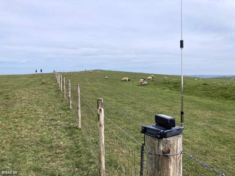
At the top, I first attempted to make contacts on 2m VHF with my 50 watt Yaesu FTM100D but disappointingly raised no stations despite the good take-off position. Switching to my Elecraft KX2 on HF proved more successful. I worked six stations on 20m SSB including a S2S with OK/OE5GBM/P on OK/JC-128 in the Czech Republic. Spring lambs grazed in the adjacent field while I operated, and there was plenty of space for larger antenna systems should anyone wish to experiment.
I returned the same way to the car. This is an easy and accessible summit well suited to a short afternoon walk.
Photos
Below are some photographs taken during my activation of Firle Beacon on Saturday 12th April, 2025.

Walking Route for Firle Beacon
The interactive map below shows my GPS track taken to the SOTA activation zone for Firle Beacon. The G/SE-010 summit area is marked on the map with a blue pin icon.
You can download the route shown above as a GPX file suitable for use with most GPS devices. This file is provided for information only, to support your own walk planning and research (it may contain navigation errors, detours and/or safety hazards). The route downloads provided here are governed by the Creative Commons BY-NC-SA 4.0 licence.
Station Log
I logged the following 6 amateur radio contacts operating as M1HAX/P from G/SE-010 Firle Beacon on Saturday 12th April, 2025 (all times shown are UTC):
| Time | Callsign | Band | Mode | Notes |
|---|---|---|---|---|
| 13:30 | IK6BAK | 20m | SSB | s54 r33 |
| 13:33 | EA2DDG | 20m | SSB | s56 r53 |
| 13:33 | EA3BV | 20m | SSB | s56 r55 |
| 13:35 | OK/OE5GBM/P | 20m | SSB | s52 r43, S2S OK/JC-128 |
| 13:43 | EA7GV | 20m | SSB | s58 r51 |
| 13:45 | EA2DT | 20m | SSB | s58 r22 |
In the notes field I will usually log the other operator’s name and the signal report they provided. In accordance with the Summits on the Air rules, I do not make a log entry where a complete exchange of callsigns and signal reports was unsuccessful.
Additional Information
The following resources may be helpful to walkers, mountaineers and SOTA activators interested in Firle Beacon:
- Sotl.as Summit Page for G/SE-010 Firle Beacon.
- Hill Bagging UK Summit Page for Firle Beacon.
- Google Maps Page for Firle Beacon.
- Wikipedia entry for Firle Beacon.
If you found this content valuable, why not Buy Me a Coffee?