Leith Hill - G/SE-002 SOTA (2025)
Summits on the Air Activation Report
Activation Date: Sunday 13th April, 2025.
Activator(s): Richard M1HAX.
Summit: Leith Hill, Southern England, England.
Summit ID: SOTA reference G/SE-002 (1 point).
Summit Height: 295m elevation, 246m prominence.
Summit Location: Lat./Long. 51.17650, -0.37144. Maidenhead Grid IO91te.
Distance: 2.3km travelled with 50m of ascent.
Difficulty: SAC Grade T1.(?)
Elapsed Time: 1h 5m (including operating).
Weather: 14°C, rain showers, 19kph SW wind, 65% humidity.
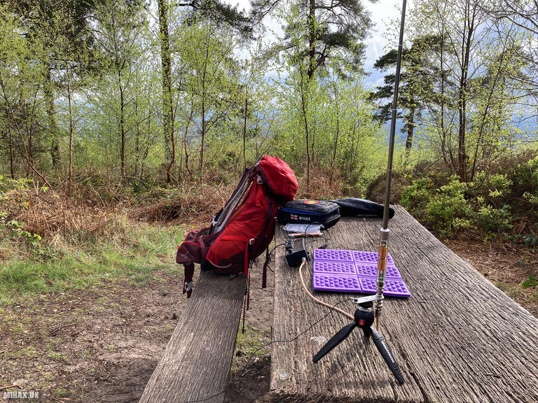
Radio Equipment: Elecraft KX2, Elecraft AX1, AXE1.
Callsign Used: M1HAX/P.
Contacts: 5 (20m SSB, 40m SSB).
Trip Notes
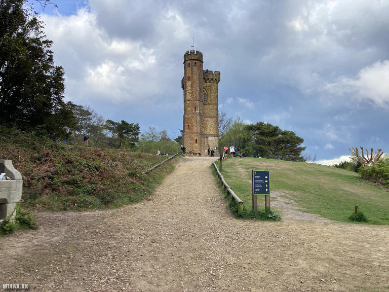
Leith Hill (294m) is the highest point in Surrey and the second highest in Southeast England after Walbury Hill in Berkshire. An 18th-century Gothic tower built by Richard Hull in 1764-65 raises the summit above 1,000 feet, and from its top one can see both the English Channel and the spires of London on clear days. The tower was intended to give Hull’s estate the prestige of having an elevation above 1,000 feet. When Hull died in 1772, he was buried beneath his creation. Leith Hill Place nearby was the childhood home of composer Ralph Vaughan Williams.
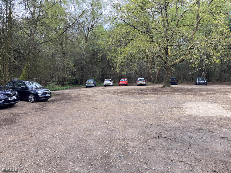
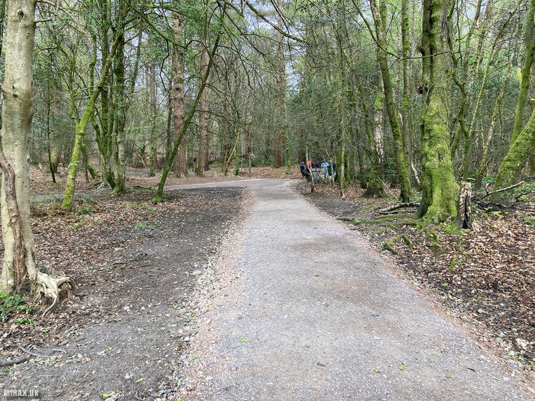
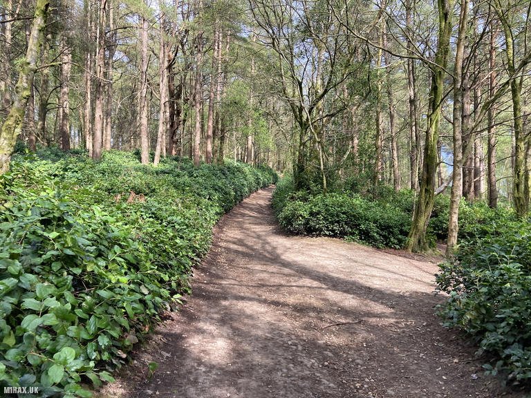
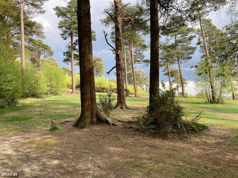
This hill was my final activation of the weekend trip and proved to be one of my favourites. From a large free car park in the forest, well-established paths weave through pleasant woodland for just over a kilometre to reach the summit tower. The area was busy with other walkers and tourists enjoying the Surrey Hills.
I managed to find a picnic bench hidden in the bushes just away from the main summit area, which provided an excellent operating position. Unfortunately, rain started as I was setting up the radio. Working through the drizzle, I made five contacts on 40m and 20m SSB in about ten minutes, enough to qualify the summit before the weather deteriorated further.
I walked back the way I came to the car before beginning the drive home. Leith Hill is a thoroughly enjoyable destination that I would happily revisit.
Photos
Below are some photographs taken during my activation of Leith Hill on Sunday 13th April, 2025.

Walking Route for Leith Hill
The interactive map below shows my GPS track taken to the SOTA activation zone for Leith Hill. The G/SE-002 summit area is marked on the map with a blue pin icon.
You can download the route shown above as a GPX file suitable for use with most GPS devices. This file is provided for information only, to support your own walk planning and research (it may contain navigation errors, detours and/or safety hazards). The route downloads provided here are governed by the Creative Commons BY-NC-SA 4.0 licence.
Station Log
I logged the following 5 amateur radio contacts operating as M1HAX/P from G/SE-002 Leith Hill on Sunday 13th April, 2025 (all times shown are UTC):
| Time | Callsign | Band | Mode | Notes |
|---|---|---|---|---|
| 15:10 | ON3WAB | 40m | SSB | s58 r53 |
| 15:12 | F4IOQ | 40m | SSB | s57 r21 |
| 15:19 | CT7AQP | 20m | SSB | s52 r33 |
| 15:21 | EA1DHB | 20m | SSB | s58 r55 |
| 15:23 | EA2WX | 20m | SSB | s59 r57 |
In the notes field I will usually log the other operator’s name and the signal report they provided. In accordance with the Summits on the Air rules, I do not make a log entry where a complete exchange of callsigns and signal reports was unsuccessful.
Additional Information
The following resources may be helpful to walkers, mountaineers and SOTA activators interested in Leith Hill:
- Sotl.as Summit Page for G/SE-002 Leith Hill.
- Hill Bagging UK Summit Page for Leith Hill.
- Google Maps Page for Leith Hill.
- Wikipedia entry for Leith Hill.
If you found this content valuable, why not Buy Me a Coffee?