Wilmington Hill - G/SE-011 SOTA (2025)
Summits on the Air Activation Report
Activation Date: Saturday 12th April, 2025.
Activator(s): Richard M1HAX.
Summit: Wilmington Hill, Southern England, England.
Summit ID: SOTA reference G/SE-011 (1 point).
Summit Height: 214m elevation, 194m prominence.
Summit Location: Lat./Long. 50.80982, 0.19654. Maidenhead Grid JO00ct.
Distance: 3.5km travelled with 180m of ascent.
Difficulty: SAC Grade T1.(?)
Elapsed Time: 1h 5m (including operating).
Weather: 18°C, cloudy, 9kph S wind, 47% humidity.
Radio Equipment: Elecraft KX2, Elecraft AX1.
Callsign Used: M1HAX/P.
Contacts: 5 (20m SSB).
Trip Notes
Wilmington Hill overlooks the famous Long Man of Wilmington, one of only two major human hill figures in England. The 72-metre tall chalk figure holds two staves and has puzzled historians for centuries. Recent archaeological evidence suggests it may date from the 16th or 17th century rather than prehistoric times as once believed. The figure was restored in 1873-74 and is now formed from white-painted concrete blocks rather than exposed chalk. From the summit ridge above, walkers can look down upon this enigmatic giant.
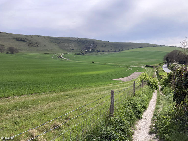
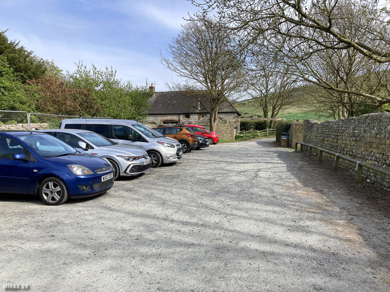
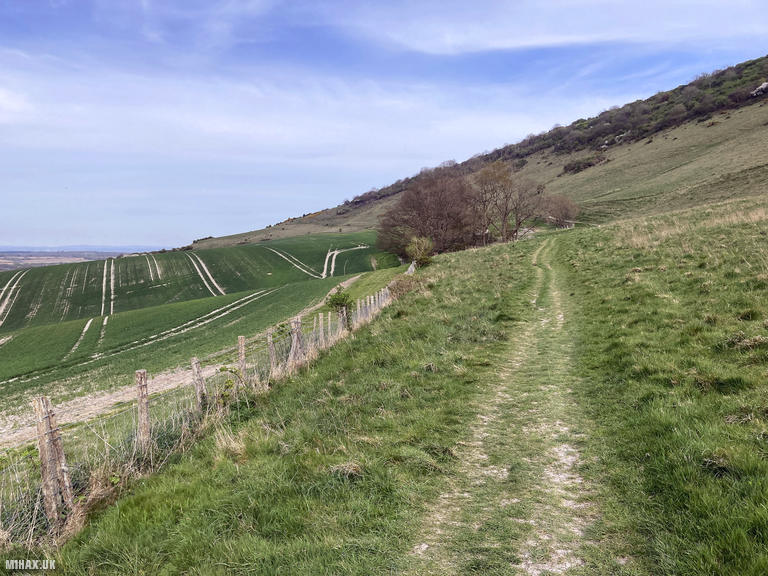
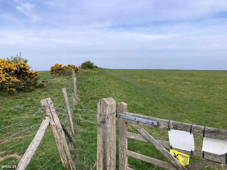
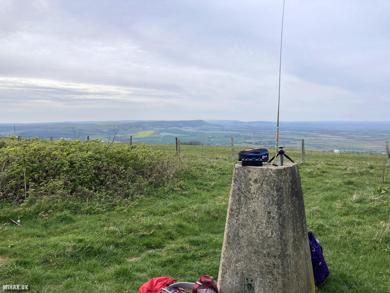
I parked in the small free car park near Wilmington and followed a good quality footpath initially parallel to the road before crossing through farm fields. The chalk figure is visible on the steep hillside during the approach. After about 35 minutes of pleasant walking, steepening towards the top, I reached the trig point at the summit where views extend across the South Downs.
The weather remained pleasant for this busy day of hill activations. I set up my Elecraft KX2 and AX1 antenna and quickly made five contacts on 20m SSB, including a S2S with SP9MPZ/P on SP/BZ-084 in Poland. With time pressing and more summits to visit, I kept the activation brief and retraced my route to the car.
This is a worthwhile summit offering both good walking and the chance to view one of Sussex’s most mysterious landmarks.
Photos
Below are some photographs taken during my activation of Wilmington Hill on Saturday 12th April, 2025.

Walking Route for Wilmington Hill
The interactive map below shows my GPS track taken to the SOTA activation zone for Wilmington Hill. The G/SE-011 summit area is marked on the map with a blue pin icon.
You can download the route shown above as a GPX file suitable for use with most GPS devices. This file is provided for information only, to support your own walk planning and research (it may contain navigation errors, detours and/or safety hazards). The route downloads provided here are governed by the Creative Commons BY-NC-SA 4.0 licence.
Station Log
I logged the following 5 amateur radio contacts operating as M1HAX/P from G/SE-011 Wilmington Hill on Saturday 12th April, 2025 (all times shown are UTC):
| Time | Callsign | Band | Mode | Notes |
|---|---|---|---|---|
| 15:15 | EA1DHB | 20m | SSB | s57 r55 |
| 15:17 | SP9MPZ/P | 20m | SSB | s41 r34, S2S SP/BZ-084 |
| 15:18 | S52AU | 20m | SSB | s53 r55 |
| 15:19 | SQ9JYK | 20m | SSB | s58 r55 |
| 15:21 | OM1MZ | 20m | SSB | s56 r58 |
In the notes field I will usually log the other operator’s name and the signal report they provided. In accordance with the Summits on the Air rules, I do not make a log entry where a complete exchange of callsigns and signal reports was unsuccessful.
Additional Information
The following resources may be helpful to walkers, mountaineers and SOTA activators interested in Wilmington Hill:
- Sotl.as Summit Page for G/SE-011 Wilmington Hill.
- Hill Bagging UK Summit Page for Wilmington Hill.
- Google Maps Page for Wilmington Hill.
- Wikipedia entry for Wilmington Hill.
If you found this content valuable, why not Buy Me a Coffee?