Carnmenellis - G/DC-006 SOTA (2025)
Summits on the Air Activation Report
Activation Date: Monday 9th June, 2025.
Activator(s): Richard M1HAX.
Summit: Carnmenellis, Devon & Cornwall, England.
Summit ID: SOTA reference G/DC-006 (1 point).
Summit Height: 252m elevation, 165m prominence.
Summit Location: Lat./Long. 50.18306, -5.22932. Maidenhead Grid IO70je.
Distance: 2.4km travelled with 59m of ascent.
Difficulty: SAC Grade T2.(?)
Elapsed Time: 1h 10m (including operating).
Weather: 12°C, light rain, 11kph SW wind, 76% humidity.
Radio Equipment: Elecraft KX2, Elecraft AX1.
Callsign Used: M1HAX/P.
Contacts: 6 (20m SSB).
Trip Notes
Carnmenellis Hill gives its name to a broad area of west Cornwall between Redruth, Helston and Penryn. The summit, at 252 metres, forms part of one of five granite plutons that make up the Cornubian batholith - Cornwall’s geological backbone. This wind-swept plateau has been shaped by centuries of tin and copper mining, with the Wendron Mining District forming part of the Cornwall and West Devon Mining Landscape World Heritage Site. The nearby village of Penmarth is sometimes referred to locally as Carnmenellis. With 167 metres of prominence, this is one of only five Marilyns in Cornwall, alongside Brown Willy, Kit Hill, Hensbarrow Beacon and Watch Croft.
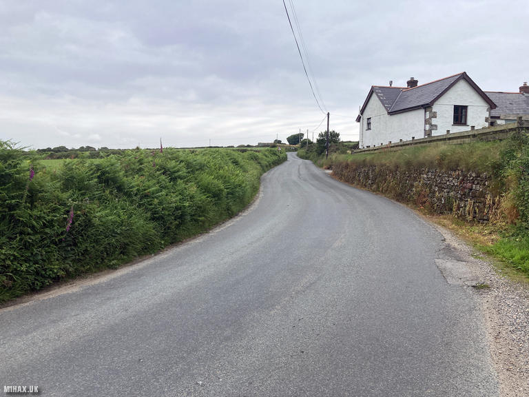
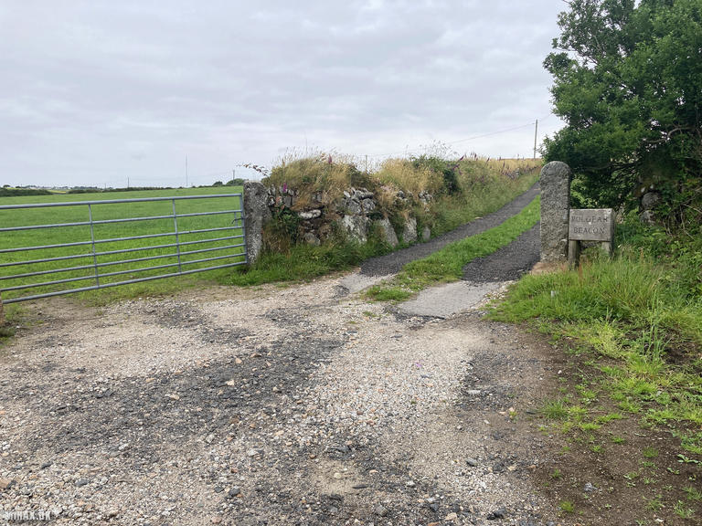
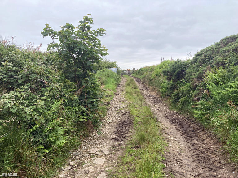
I visited this summit on my drive home from a rock climbing trip to Sennen Cove, hoping for a quick and easy one-point activation. Unfortunately, it proved to be anything but straightforward. Parking is available in a large layby on the road before a track signposted “Polgear Beacon” which leads up to a house at the base of the hill.
The trig point at the summit sits on open access land, and Ordnance Survey maps clearly show a public right of way footpath leading towards it from the road. However, upon reaching the gate into the access land, I discovered that a cattle feeding station had been positioned immediately behind it, with a large number of cattle blocking the entrance. This appeared to be a deliberate attempt by the landowner to discourage walkers - indeed, other activators have reported similar difficulties and even encounters with hostile residents displaying “No access to Trig Point” signs, despite the legal right of access.
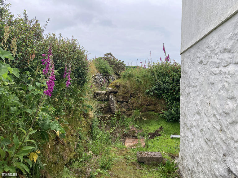
Standing on the stile to assess potential detours around the cattle, I noticed a gentleman from the nearby house watching me from his front garden. Consulting my OS maps, I noted another public right of way passing through his property and went over for a conversation. While outwardly polite, he was deliberately misleading, insisting no access to the summit was possible. After discussing the mapped footpaths, I pressed on using the right of way along the side of his house. Interestingly, some well-established scaffolding poles appeared to have been positioned to obstruct the public path.
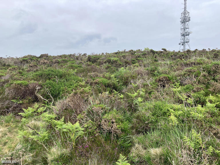
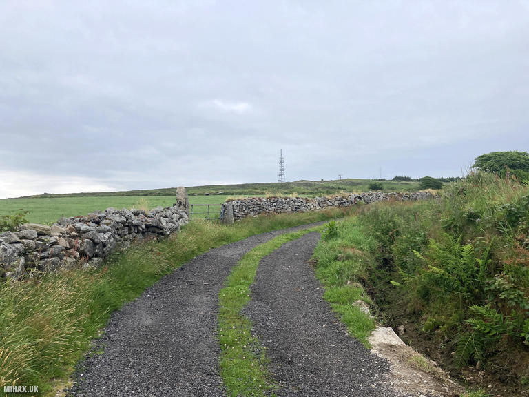
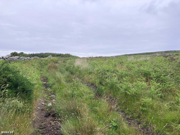
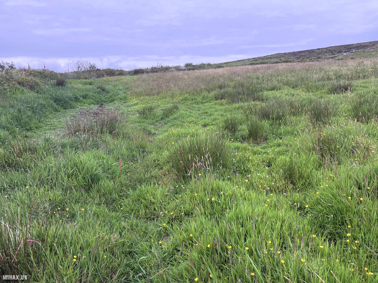
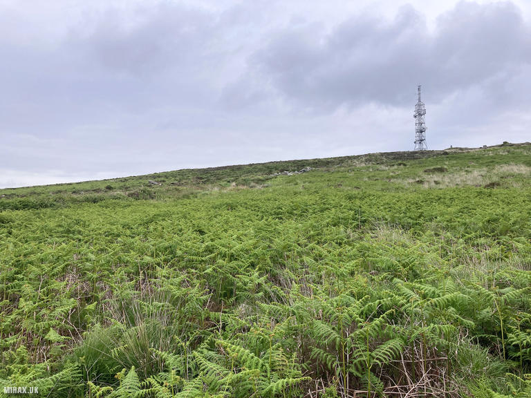
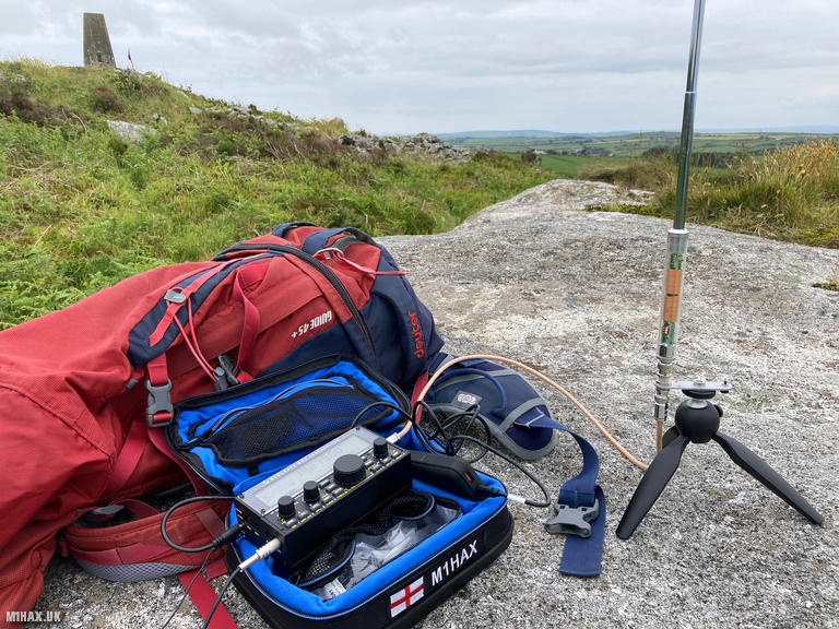
The homeowner continued watching as I forged my own route across the open access land in neighbouring fields. A curious delineation of access land on the map necessitated crossing very wet boggy marsh before pushing through waist-high ferns - considerably easier in dry weather, no doubt. Eventually I was able to cut across to the main footpath, which was blocked lower down by the cattle, and walked the short distance up to a large boulder adjacent to the trig point.
I set up my Elecraft KX2 with AX1 antenna, still being observed by the homeowner. Working quickly on 20-metre SSB, I logged six contacts in just a few minutes before packing away, fully expecting a farmer or land owner to have been summoned. The return journey retraced my route through the ferns and marsh, then back along the public right of way through the property without incident.
I note that a private access road leads up to the communications mast near the summit, and walking up this road may offer an alternative approach for future activators - though reports suggest the gates are locked and fenced off. Completing Carnmenellis felt more like an exercise in navigating hostile land ownership than hillwalking. It’s only redeeming feature was that this hill walk marked my completion of the Devon and Cornwall SOTA region. I would not wish to return to this unwelcoming rural summit. Hopefully, future activators will find the cattle not blocking the public footpath and enjoy a more straightforward experience, but caution is advised.
Photos
Below are some photographs taken during my activation of Carnmenellis on Monday 9th June, 2025.

Walking Route for Carnmenellis
The interactive map below shows my GPS track taken to the SOTA activation zone for Carnmenellis. The G/DC-006 summit area is marked on the map with a blue pin icon.
You can download the route shown above as a GPX file suitable for use with most GPS devices. This file is provided for information only, to support your own walk planning and research (it may contain navigation errors, detours and/or safety hazards). The route downloads provided here are governed by the Creative Commons BY-NC-SA 4.0 licence.
Station Log
I logged the following 6 amateur radio contacts operating as M1HAX/P from G/DC-006 Carnmenellis on Monday 9th June, 2025 (all times shown are UTC):
| Time | Callsign | Band | Mode | Notes |
|---|---|---|---|---|
| 09:10 | EA7GV | 20m | SSB | |
| 09:11 | EA1DHB | 20m | SSB | |
| 09:11 | LB1LG | 20m | SSB | |
| 09:12 | SQ9MDF | 20m | SSB | |
| 09:13 | OE3BIY | 20m | SSB | |
| 09:13 | OH3GZ | 20m | SSB |
In the notes field I will usually log the other operator’s name and the signal report they provided. In accordance with the Summits on the Air rules, I do not make a log entry where a complete exchange of callsigns and signal reports was unsuccessful.
Additional Information
The following resources may be helpful to walkers, mountaineers and SOTA activators interested in Carnmenellis:
- Sotl.as Summit Page for G/DC-006 Carnmenellis.
- Hill Bagging UK Summit Page for Carnmenellis.
- Google Maps Page for Carnmenellis.
- Wikipedia entry for Carnmenellis.
If you found this content valuable, why not Buy Me a Coffee?