Mynydd Rhyd Ddu - GW/NW-073 SOTA (2025)
Summits on the Air Activation Report
Activation Date: Friday 15th August, 2025.
Activator(s): Richard M1HAX.
Summit: Mynydd Rhyd Ddu, North Wales, Wales.
Summit ID: SOTA reference GW/NW-073 (1 point).
Summit Height: 389m elevation, 165m prominence.
Summit Location: Lat./Long. 53.01862, -3.41086. Maidenhead Grid IO83ha.
Distance: 2.6km travelled with 110m of ascent.
Difficulty: SAC Grade T1.(?)
Elapsed Time: 55m (including operating).
Weather: 20°C, sunny, 13kph NW wind, 68% humidity.
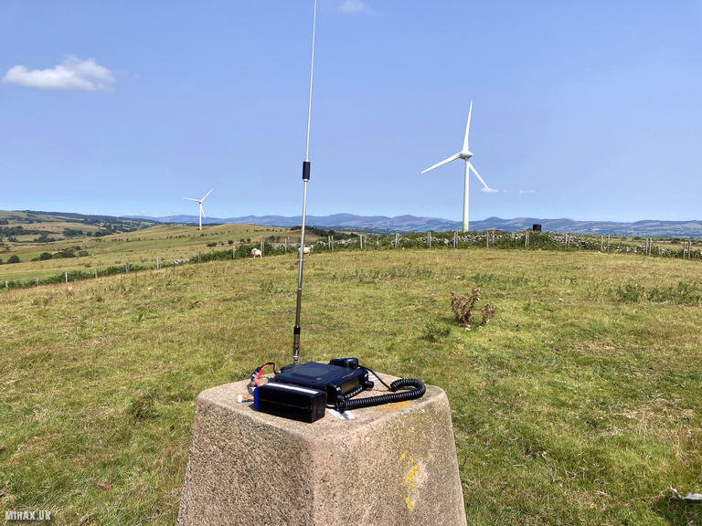
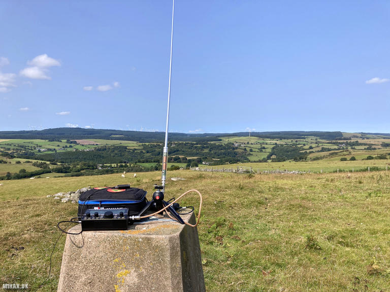
Radio Equipment: Yaesu FTM100D, Diamond RH-770, Zippy 4200mAh 4S LiFePo4, Elecraft KX2, AX1.
Callsign Used: MW1HAX/P.
Contacts: 6 (2m FM, 20m SSB).
Trip Notes
Mynydd Rhyd Ddu is a modest 389-metre summit in Denbighshire, sitting on the border with Conwy in northern Wales. The name translates from Welsh as “Black Ford Mountain,” likely referring to the historic crossing point in the valley below. With 165 metres of prominence, this hill qualifies as a Marilyn and offers one SOTA point. Despite its relatively low profile compared to the nearby Snowdonia giants, it provides a pleasant short outing for those passing through the area.
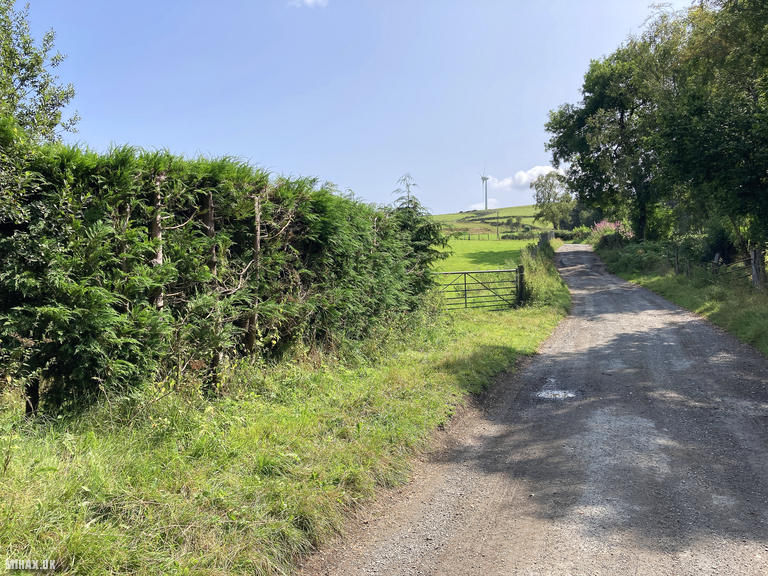
I tackled this summit as a quick activation while travelling to Snowdonia for a hike around the Snowdon Horseshoe the following day. Following the route published on SOTA Mapping by Gerald MW0WML, I approached from the northwest via a minor road near Melin y Wig.
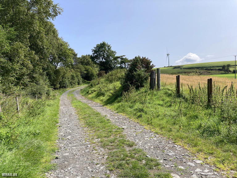
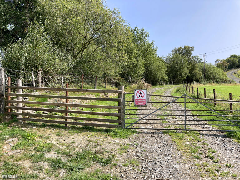
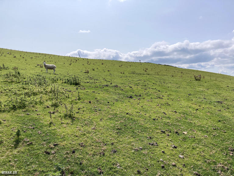
Parking options here are limited - there is space for only one vehicle on the banked grass verge, so take care not to block farm access opposite. From the roadside, I headed east along the farm track. At the first yard, I went through the right-hand gate and continued along the track. At the next pair of gates, I took the right one and followed the track to the next field, walking diagonally up and across to a gate from where the trig point becomes visible ahead. One more fence line at a gate and I was at the summit. There was evidence on the ground of cattle but I did not see any on this walk.
The weather was ideal for a brief activation - 20 degrees Celsius, sunny with a moderate northwest breeze. A wind turbine stands prominently nearby, a reminder of the area’s role in renewable energy generation.
I set up my Yaesu FTM100D with the Diamond RH-770 antenna and quickly qualified the summit with four contacts on 2-metre FM. With time to spare, I switched to my Elecraft KX2 with the AX1 antenna to try HF conditions on the 20-metre band. I managed two further contacts on SSB, working into Slovenia and Spain, before packing up.
The descent followed the same route back to the car. This is an unremarkable hill that I’m unlikely to revisit, though if returning I would consider the alternative approach from the eastern side which reportedly offers better parking options. The round trip of 2.6 kilometres with 110 metres of ascent took just 55 minutes including operating time - a perfect stopover activation.
Photos
Below are some photographs taken during my activation of Mynydd Rhyd Ddu on Friday 15th August, 2025.

Walking Route for Mynydd Rhyd Ddu
The interactive map below shows my GPS track taken to the SOTA activation zone for Mynydd Rhyd Ddu. The GW/NW-073 summit area is marked on the map with a blue pin icon.
You can download the route shown above as a GPX file suitable for use with most GPS devices. This file is provided for information only, to support your own walk planning and research (it may contain navigation errors, detours and/or safety hazards). The route downloads provided here are governed by the Creative Commons BY-NC-SA 4.0 licence.
Station Log
I logged the following 6 amateur radio contacts operating as MW1HAX/P from GW/NW-073 Mynydd Rhyd Ddu on Friday 15th August, 2025 (all times shown are UTC):
| Time | Callsign | Band | Mode | Notes |
|---|---|---|---|---|
| 12:32 | G6AEK | 2m | FM | RX: 51, TX: 59 |
| 12:33 | GW0PLP | 2m | FM | RX: 51, TX: 55 |
| 12:36 | GW4TQD | 2m | FM | RX: 53, TX: 53 |
| 12:38 | M7SDO | 2m | FM | RX: 54, TX: 57 |
| 12:45 | S57S | 20m | SSB | RX: 59, TX: 57 |
| 12:45 | EA3EVL | 20m | SSB | RX: 51, TX: 51 |
In the notes field I will usually log the other operator’s name and the signal report they provided. In accordance with the Summits on the Air rules, I do not make a log entry where a complete exchange of callsigns and signal reports was unsuccessful.
Additional Information
The following resources may be helpful to walkers, mountaineers and SOTA activators interested in Mynydd Rhyd Ddu:
- Sotl.as Summit Page for GW/NW-073 Mynydd Rhyd Ddu.
- Hill Bagging UK Summit Page for Mynydd Rhyd Ddu.
- Google Maps Page for Mynydd Rhyd Ddu.
- Wikipedia entry for Mynydd Rhyd Ddu.
If you found this content valuable, why not Buy Me a Coffee?