Butser Hill - G/SE-004 SOTA (2025)
Summits on the Air Activation Report
Activation Date: Friday 26th September, 2025.
Activator(s): Richard M1HAX.
Summit: Butser Hill, Southern England, England.
Summit ID: SOTA reference G/SE-004 (1 point).
Summit Height: 270m elevation, 158m prominence.
Summit Location: Lat./Long. 50.97784, -0.98028. Maidenhead Grid IO90mx.
Distance: 1.3km travelled with 35m of ascent.
Difficulty: SAC Grade T1.(?)
Elapsed Time: 35m (including operating).
Weather: 13°C, cloudy, 6kph NE wind, 75% humidity.
Radio Equipment: Elecraft KX2, Elecraft AX1.
Callsign Used: M1HAX/P.
Contacts: 12 (20m SSB).
Trip Notes
Butser Hill stands as the highest point on the South Downs chalk ridge at 270 metres, commanding views across Hampshire and beyond. The summit lies within Queen Elizabeth Country Park and holds considerable archaeological significance, with Bronze Age bell and bowl barrows, Iron Age cross dykes, and Romano-British field systems scattered across its slopes. The nearby Butser Ancient Farm has pioneered experimental archaeology since 1970, and virtually all modern reconstruction drawings of Iron Age settlements derive from research conducted there.
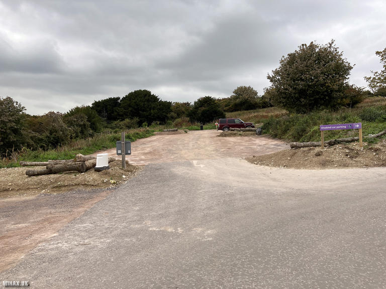
I tackled this summit en route to Portsmouth, where I would catch a ferry the following morning to activate the two SOTA summits on the Isle of Wight. The hill sits a short distance south of Petersfield, easily accessible from the A3 London Road dual carriageway. The barrier-operated pay and display car park (card payment only via ANPR) provides straightforward access to the summit.
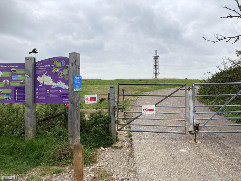
Amateur radio operators should obtain written permission in advance from Hampshire County Council by emailing qecp.enquiries@hants.gov.uk. The park rangers actively patrol and have approached previous SOTA activators operating without authorisation. Their concerns relate to verifying amateur radio licences and protecting the Scheduled Ancient Monument from ground disturbance - aerial guy pegs should not penetrate deeper than six inches.
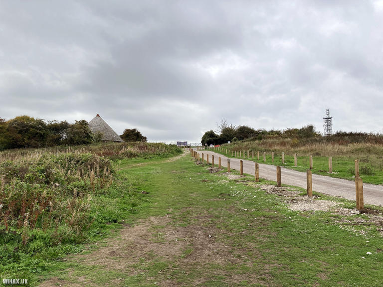
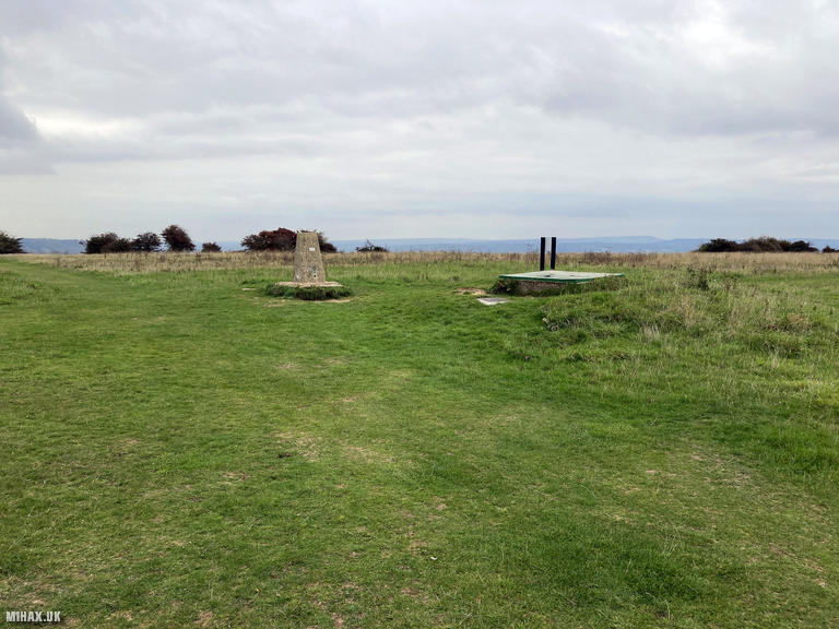
From the car park, I walked north-east towards the antenna mast facility before following grassy trails to the true summit where the trig point stands. The car park was moderately busy but I encountered almost nobody during my walk across the hill. The cafe beside the car park was closed.
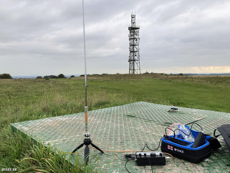
Setting up my Elecraft KX2 with the compact AX1 antenna, I found excellent activity on the 20-metre band. Despite the antenna’s compromised performance, conditions proved favourable and I worked twelve stations across Europe in quick succession. Highlights included regular chasers EA1DHB, EA2DT, and OH3GZ, along with Manuel HB9DQM - Swiss mountaineer and creator of the exceptionally useful SOTLAS website.
The activation zone here is expansive with various operating positions available. Indeed, the blue badge parking bays reportedly fall within the activation zone, though SOTA rules prohibit operating from vehicles. On a clear day, the 360-degree panorama extends to the Isle of Wight, Spinnaker Tower, and the New Forest.
With nobody else in sight, I packed away my equipment and returned to the car within 35 minutes of arrival, continuing onwards to Portsmouth for the evening. This is a pleasant and easy hill, though the mandatory permission requirement and ranger patrols make it less suitable as a regular haunt for impromptu activations.
Photos
Below are some photographs taken during my activation of Butser Hill on Friday 26th September, 2025.

Walking Route for Butser Hill
The interactive map below shows my GPS track taken to the SOTA activation zone for Butser Hill. The G/SE-004 summit area is marked on the map with a blue pin icon.
You can download the route shown above as a GPX file suitable for use with most GPS devices. This file is provided for information only, to support your own walk planning and research (it may contain navigation errors, detours and/or safety hazards). The route downloads provided here are governed by the Creative Commons BY-NC-SA 4.0 licence.
Station Log
I logged the following 12 amateur radio contacts operating as M1HAX/P from G/SE-004 Butser Hill on Friday 26th September, 2025 (all times shown are UTC):
| Time | Callsign | Band | Mode | Notes |
|---|---|---|---|---|
| 14:22 | OE5PZM | 20m | SSB | RSTr: 44, RSTs: 57 |
| 14:23 | EA1BUL | 20m | SSB | RSTr: 57, RSTs: 58 |
| 14:23 | EA3EVL | 20m | SSB | RSTr: 51, RSTs: 55 |
| 14:24 | DL1SWB | 20m | SSB | RSTr: 55, RSTs: 56 |
| 14:25 | EA2DT | 20m | SSB | RSTr: 52, RSTs: 56 |
| 14:25 | OM5TX | 20m | SSB | RSTr: 55, RSTs: 53 |
| 14:26 | HB9DQM | 20m | SSB | RSTr: 37, RSTs: 57 |
| 14:28 | S57ILF | 20m | SSB | RSTr: 33, RSTs: 56 |
| 14:30 | EA1DHB | 20m | SSB | RSTr: 55, RSTs: 58 |
| 14:31 | CT1BXX | 20m | SSB | RSTr: 53, RSTs: 55 |
| 14:32 | OH3GZ | 20m | SSB | RSTr: 59, RSTs: 58 |
| 14:34 | DG3GAI | 20m | SSB | RSTr: 41, RSTs: 56 |
In the notes field I will usually log the other operator’s name and the signal report they provided. In accordance with the Summits on the Air rules, I do not make a log entry where a complete exchange of callsigns and signal reports was unsuccessful.
Additional Information
The following resources may be helpful to walkers, mountaineers and SOTA activators interested in Butser Hill:
- Sotl.as Summit Page for G/SE-004 Butser Hill.
- Hill Bagging UK Summit Page for Butser Hill.
- Google Maps Page for Butser Hill.
- Wikipedia entry for Butser Hill.
If you found this content valuable, why not Buy Me a Coffee?